📷 这一天实际的样子
36 张照片 + 4 段视频,按拍摄时间排。点开看大图,左右滑动翻页。照片里的定位信息都已删除。
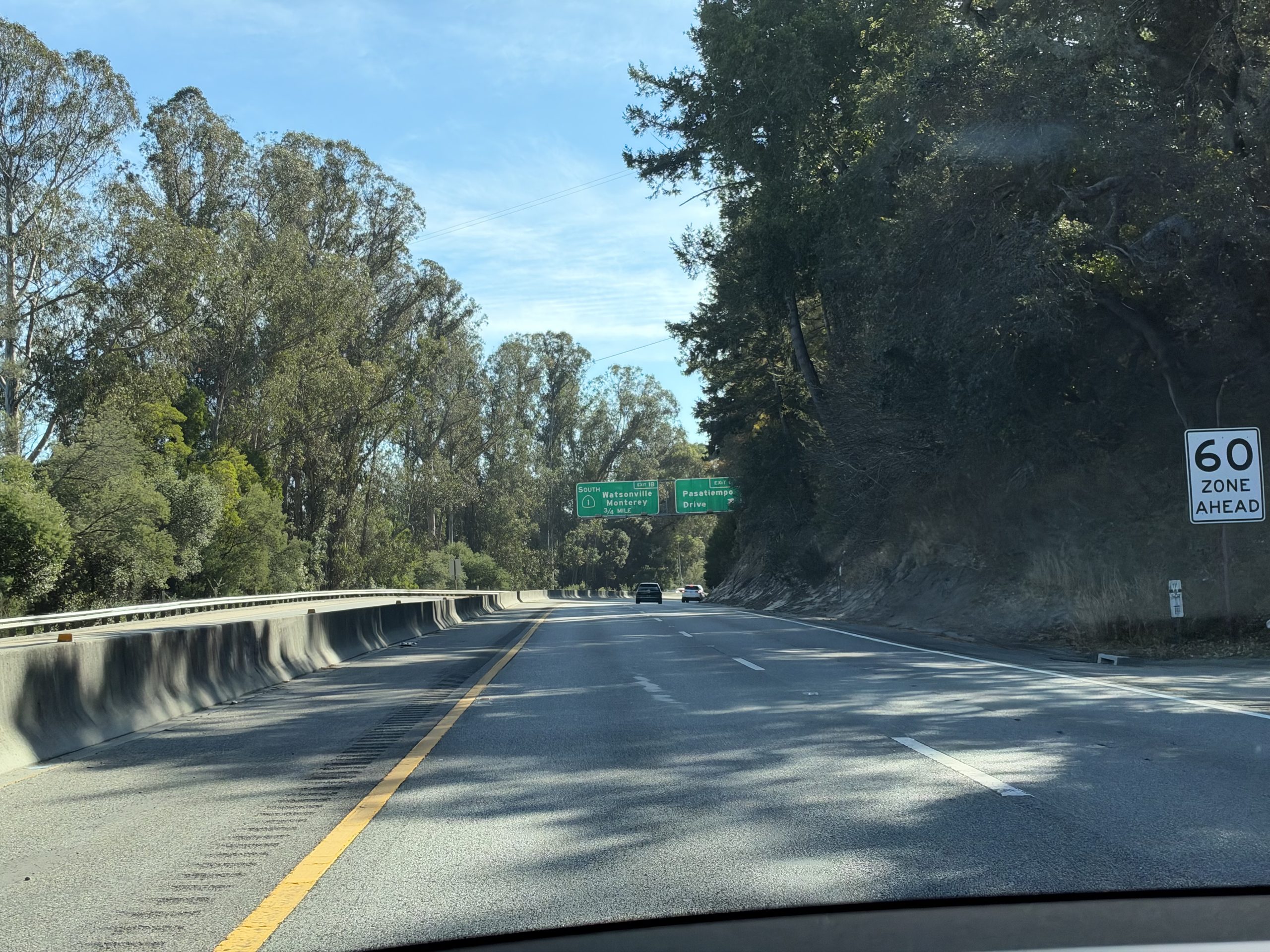
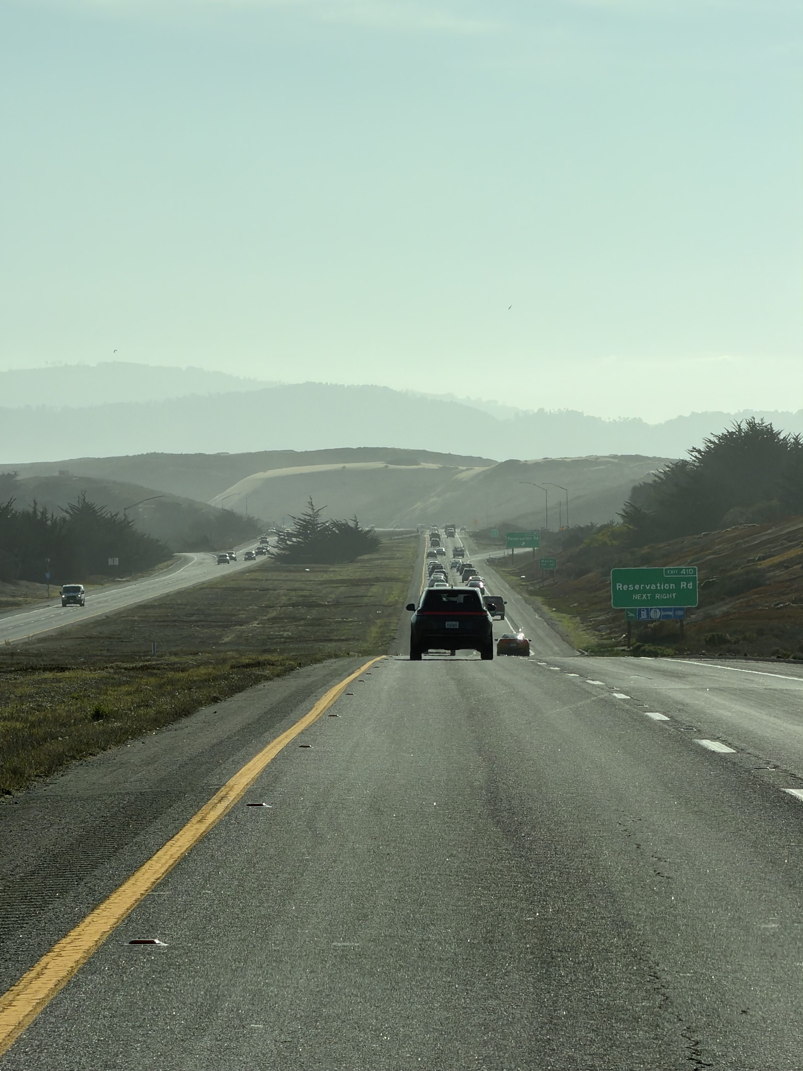
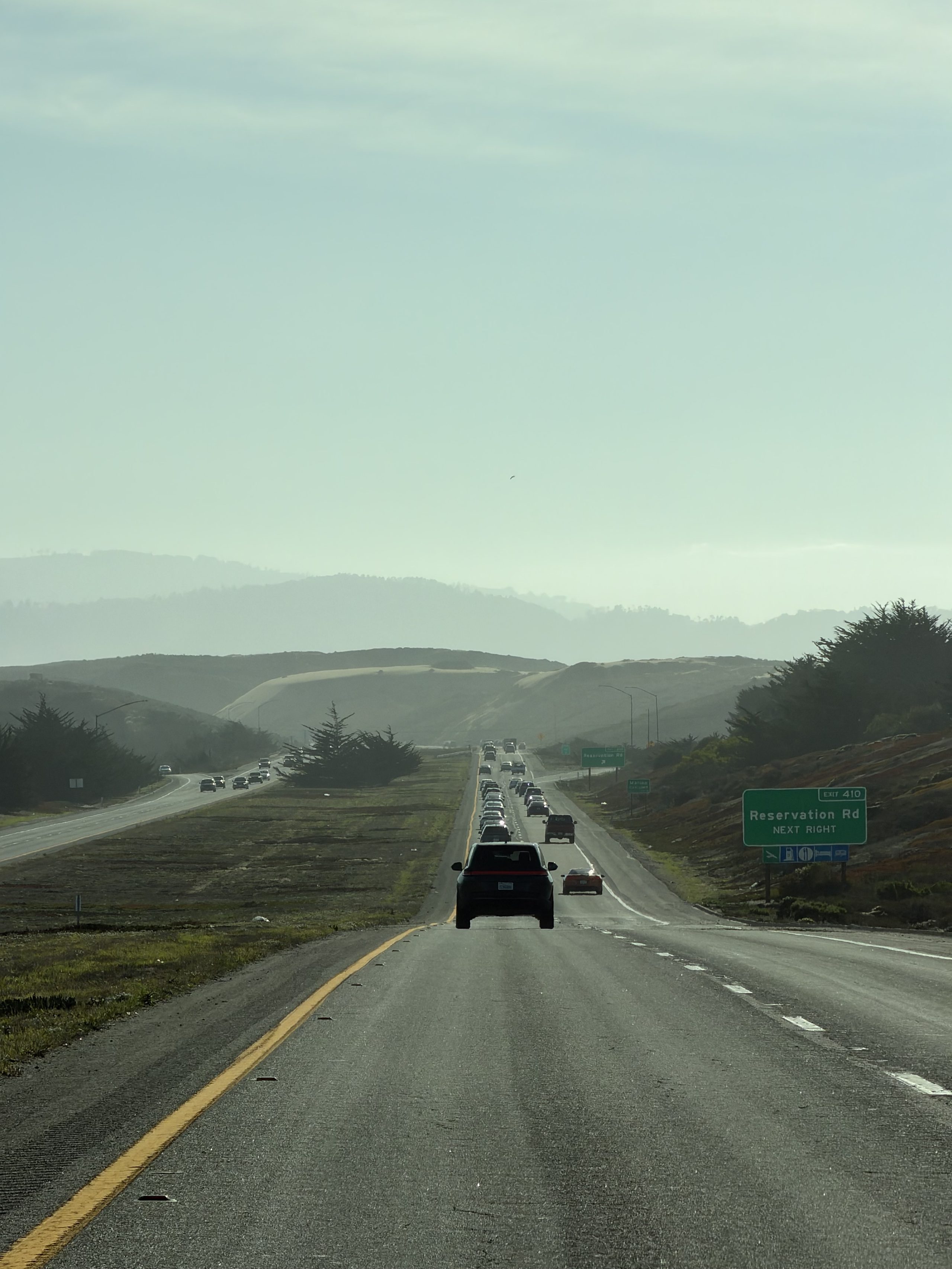
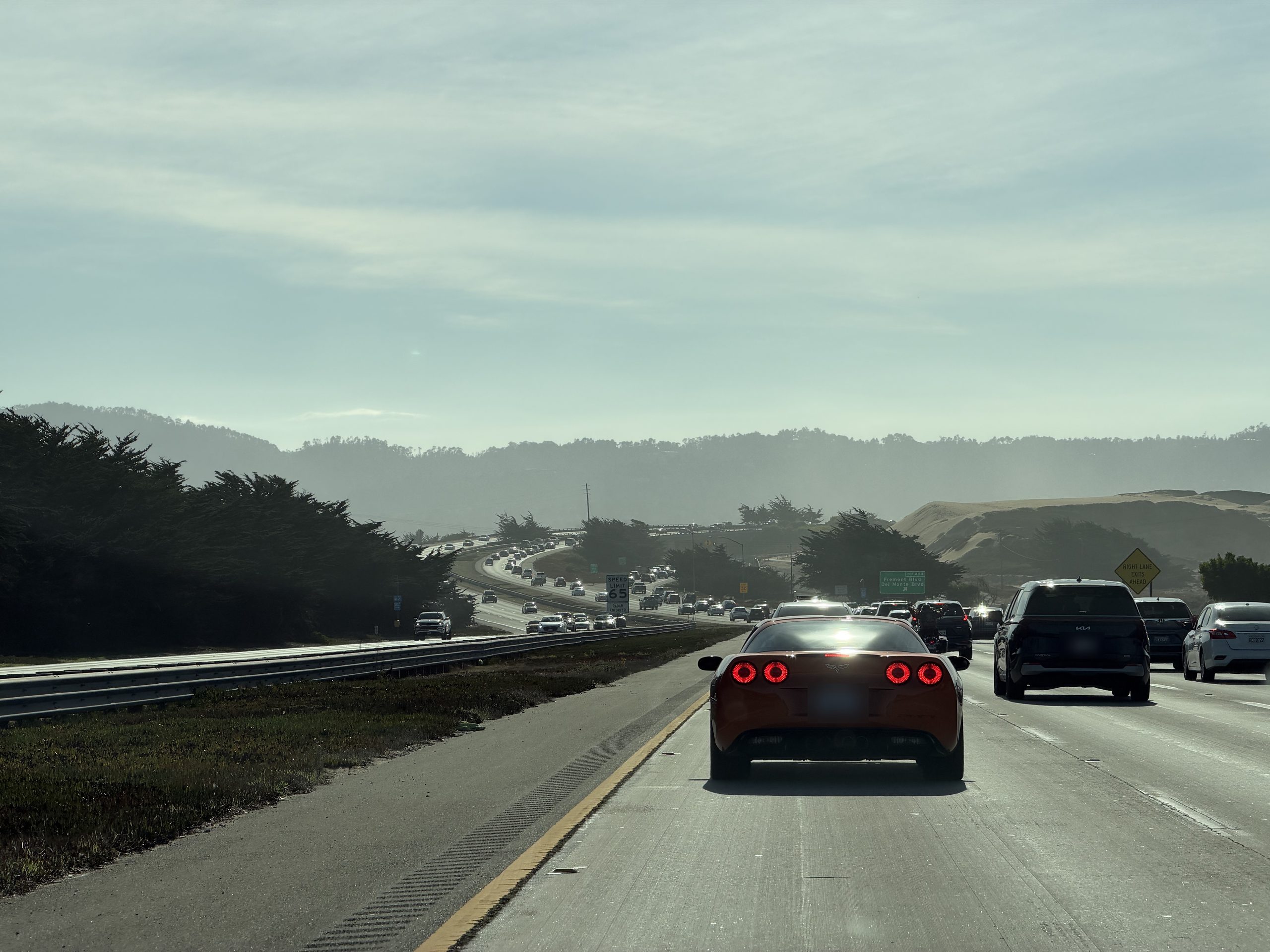
一号公路一路向南
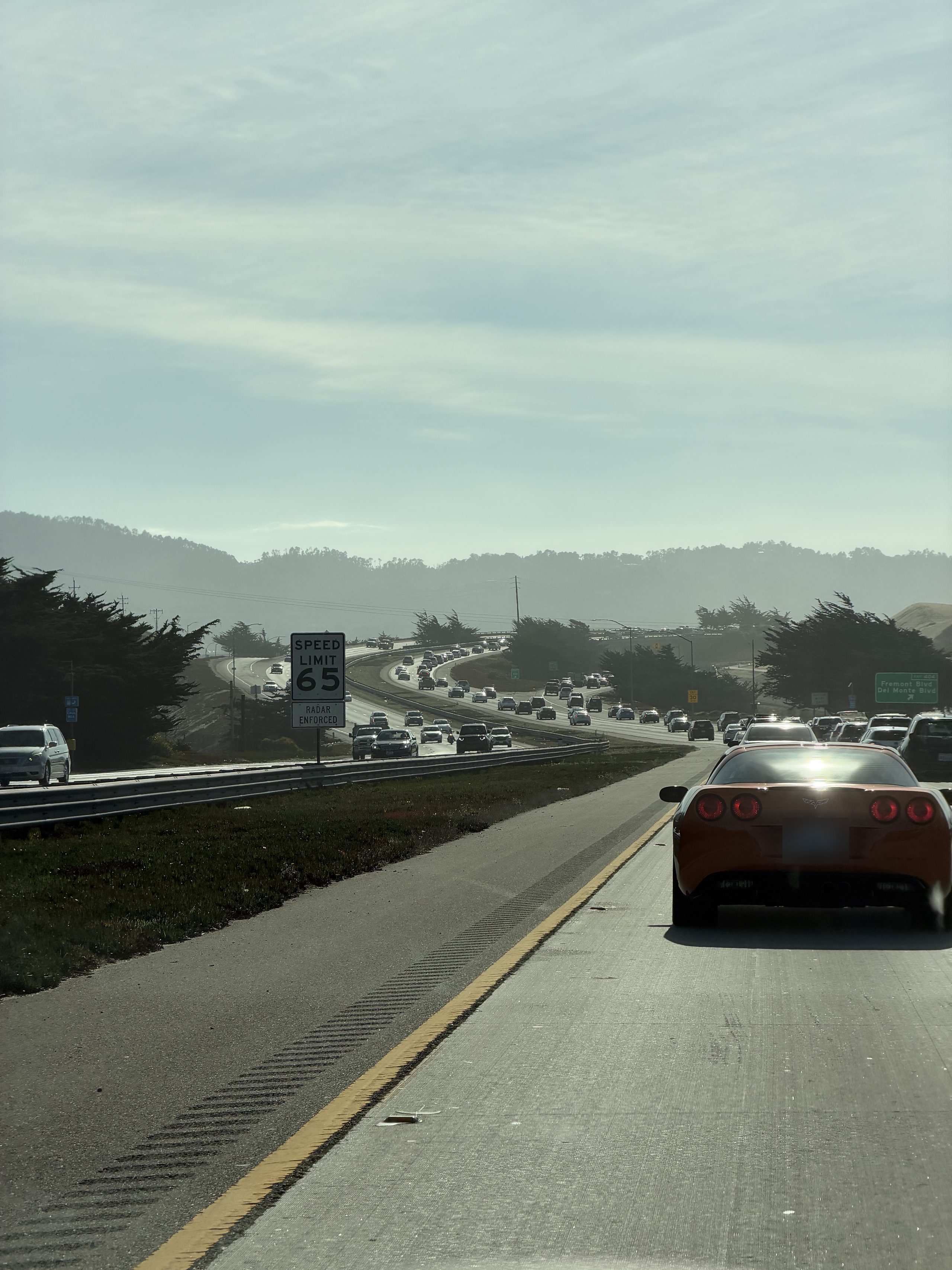
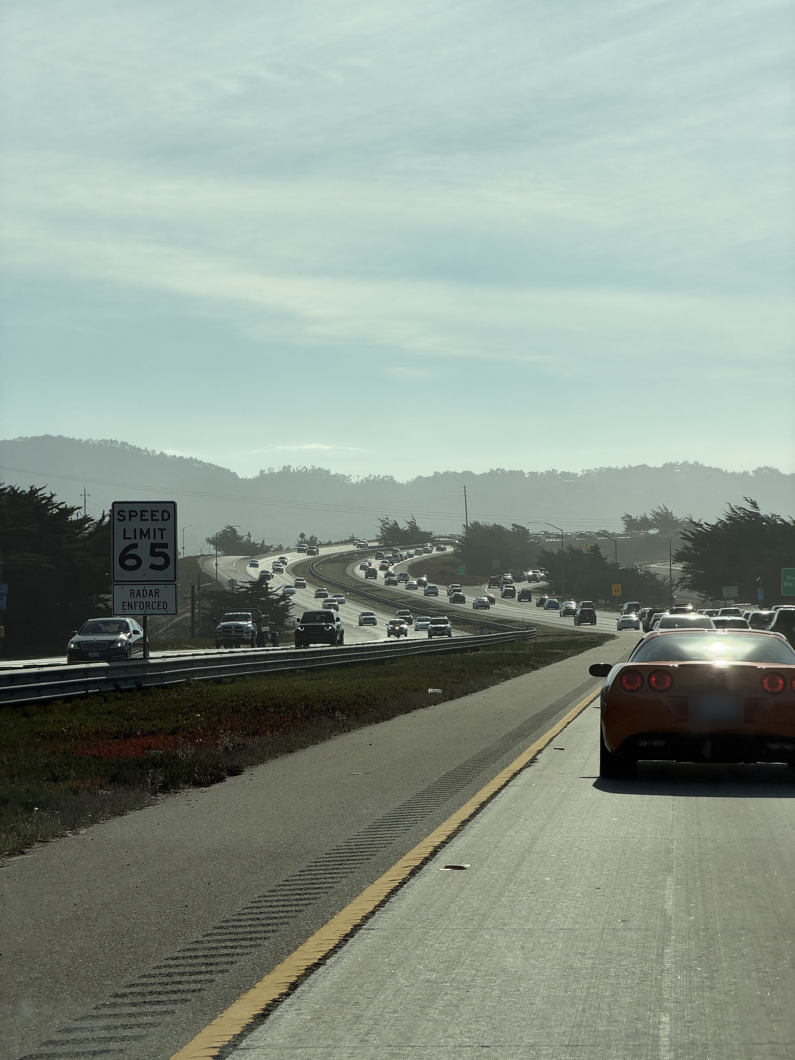
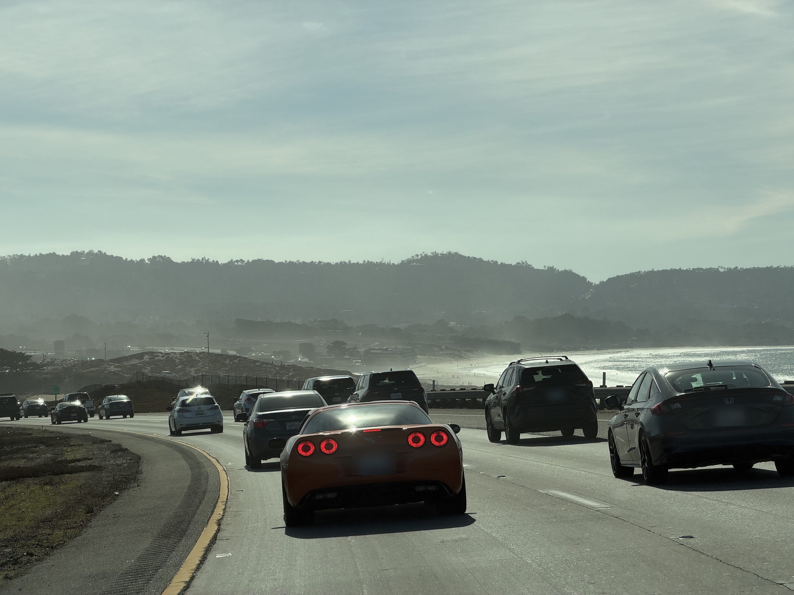
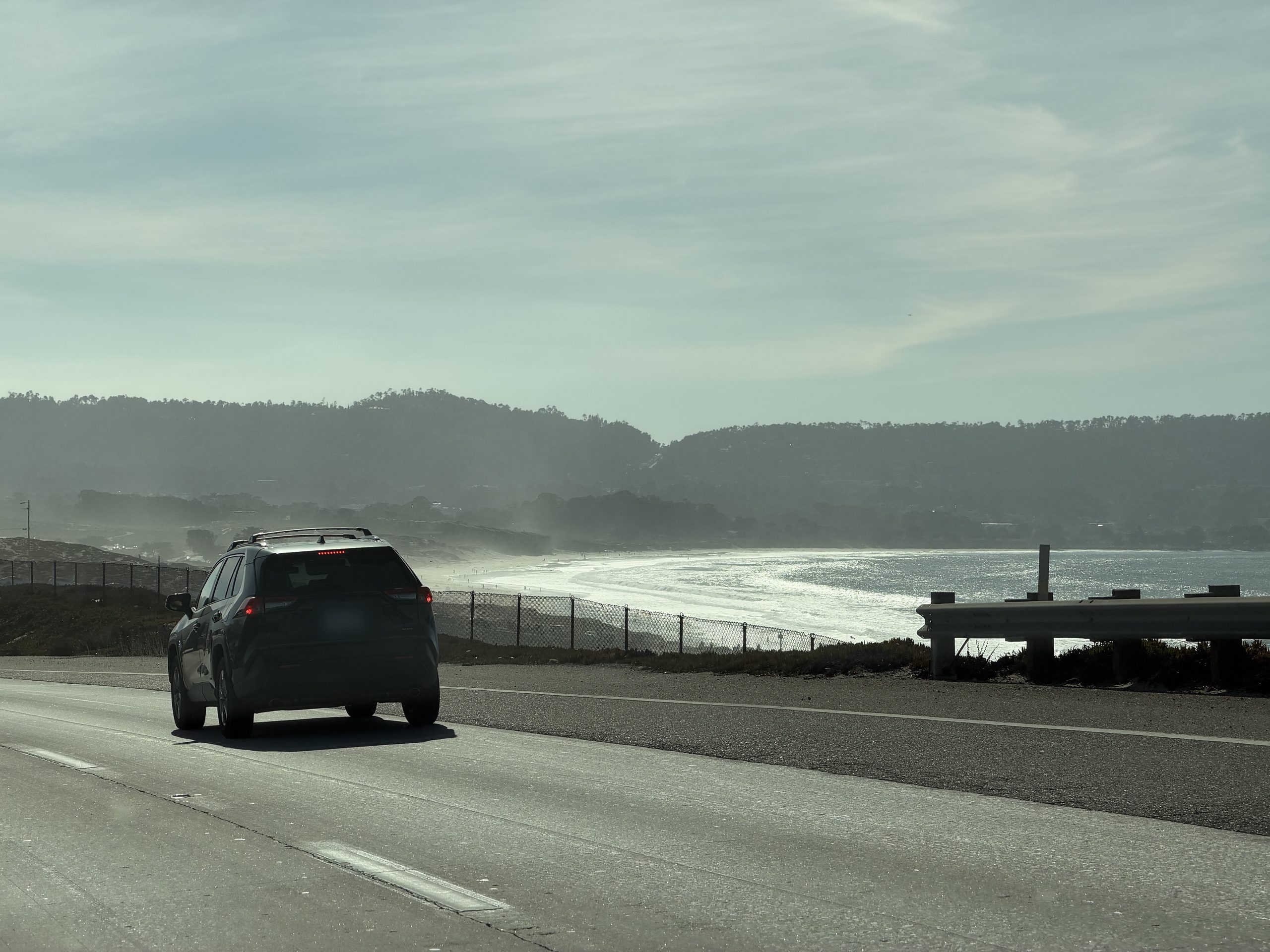
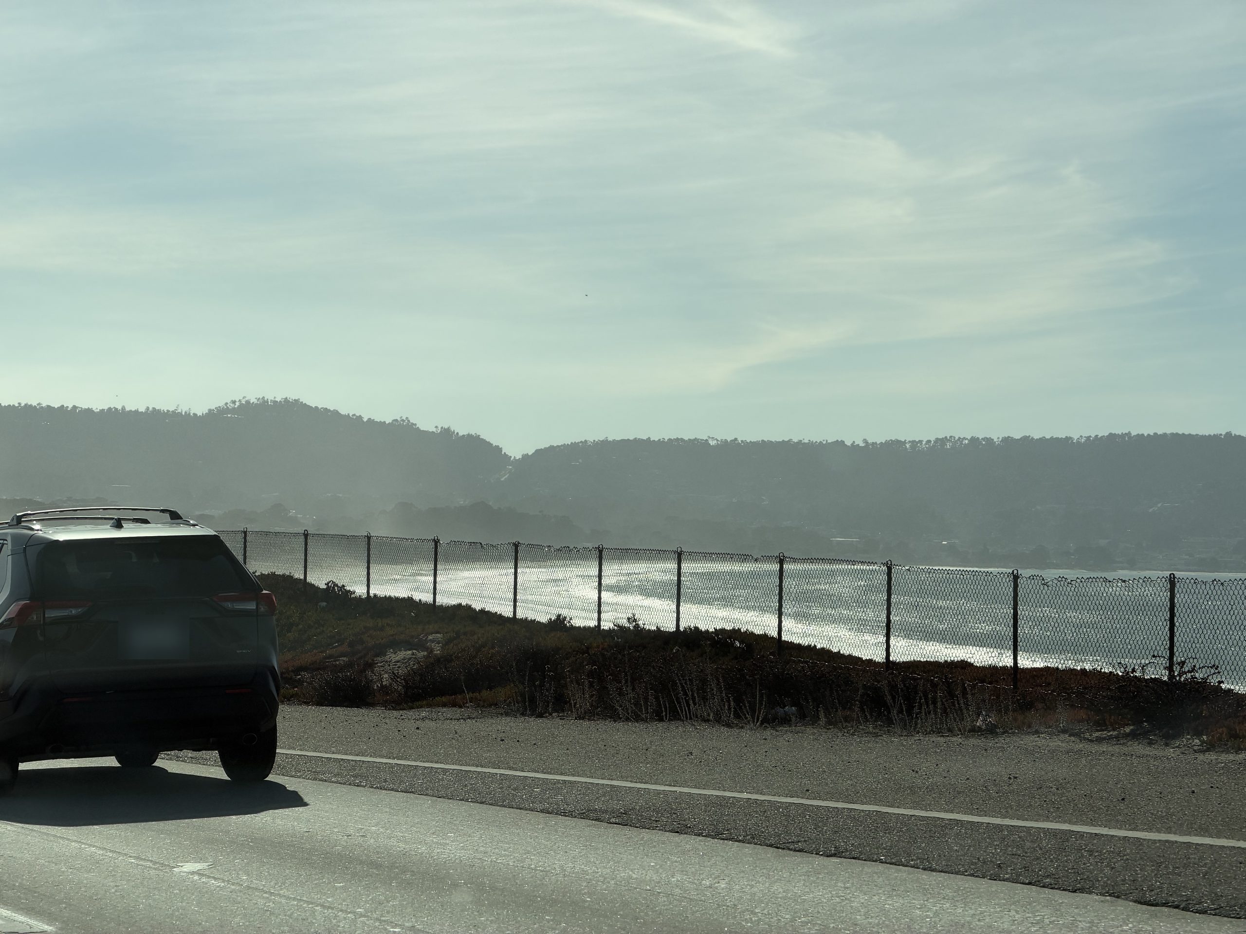
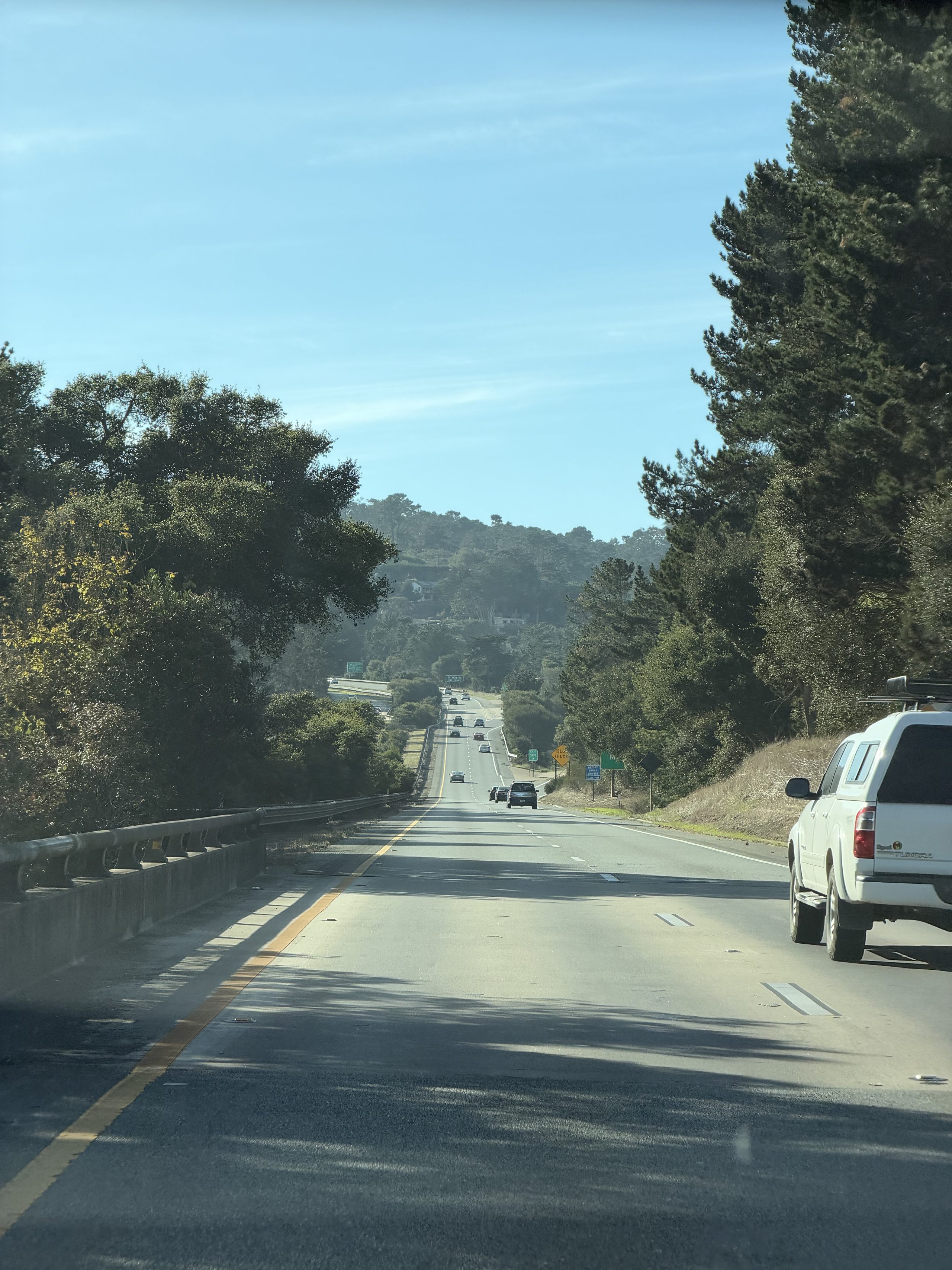
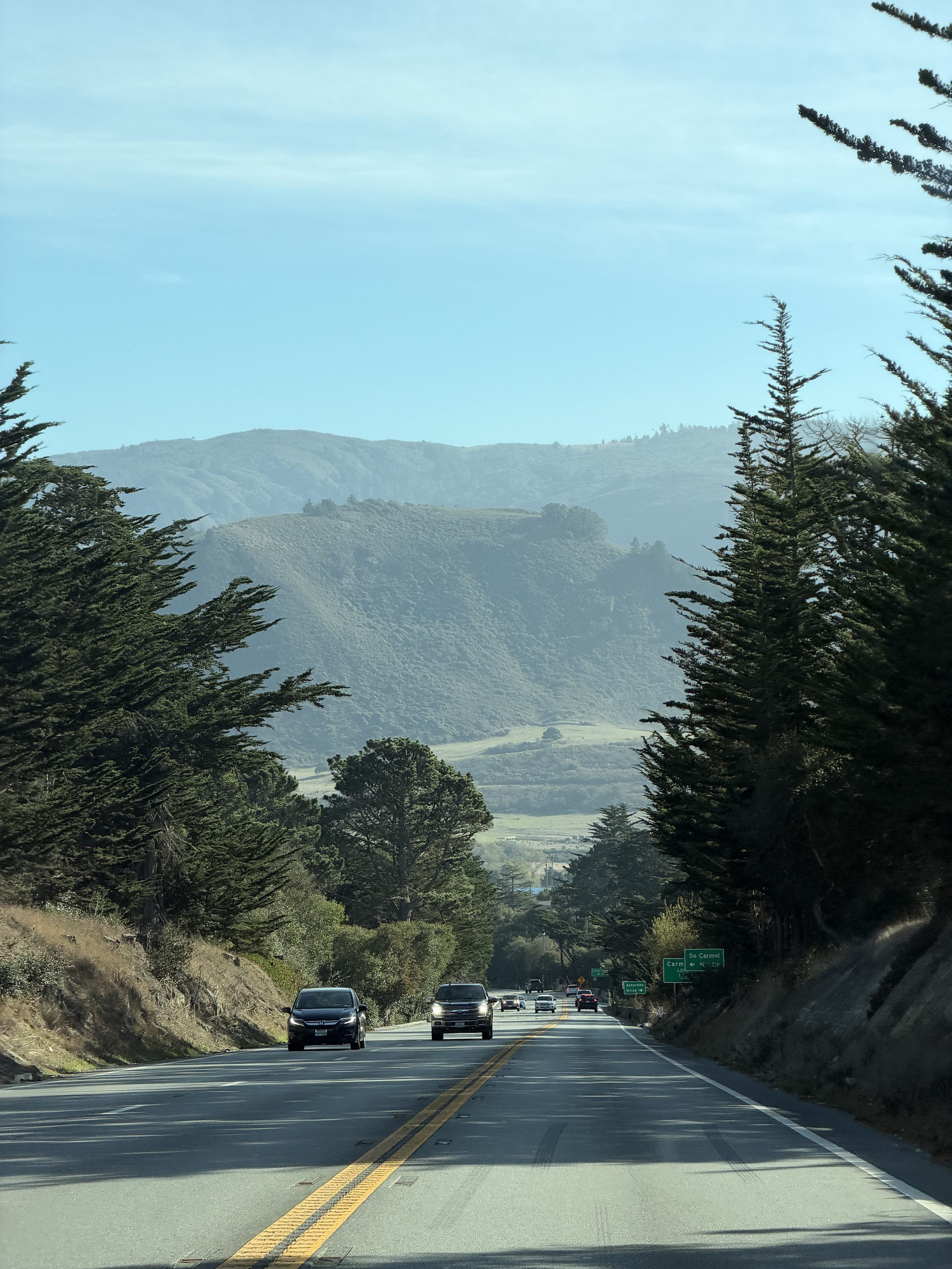
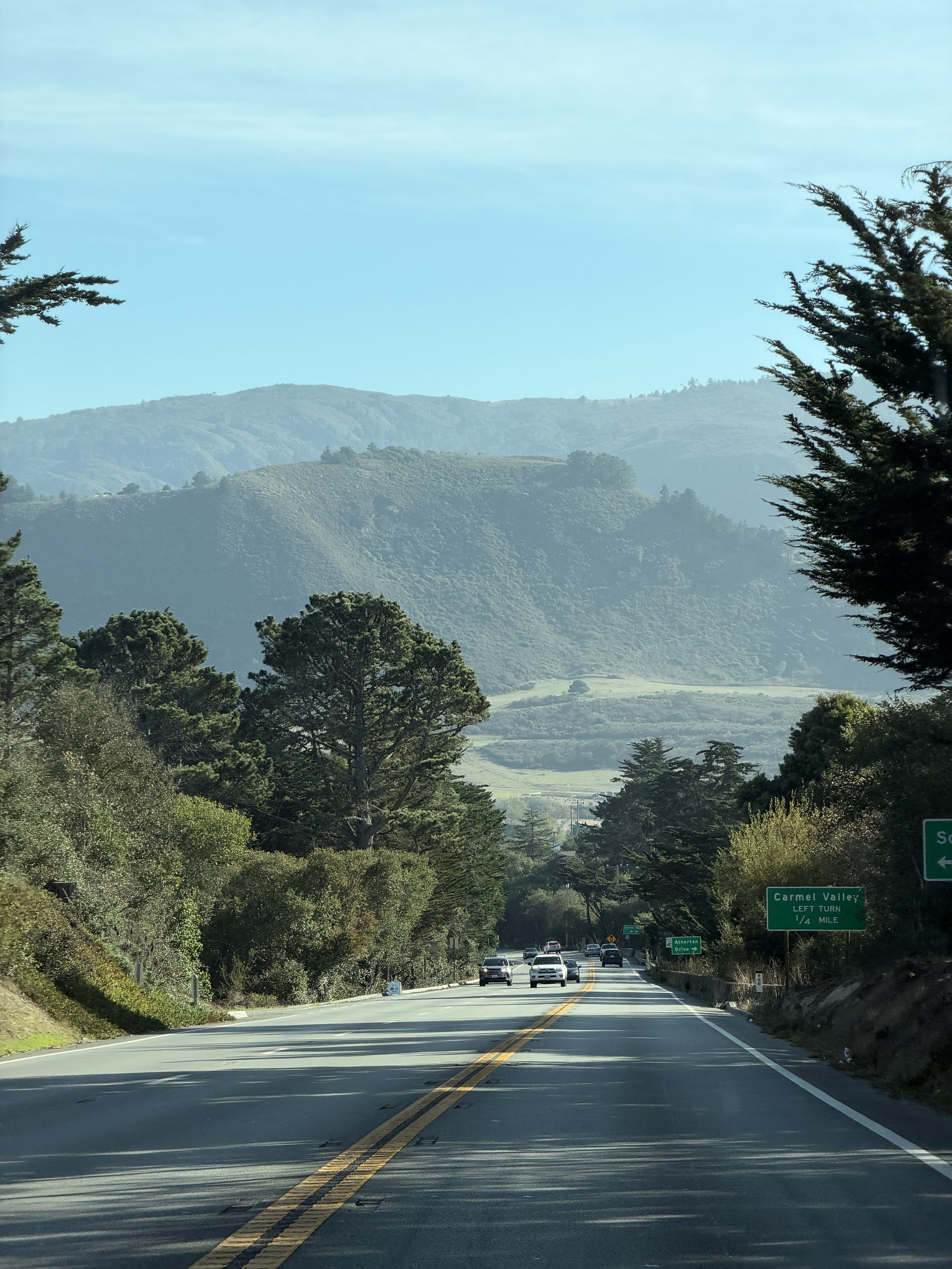
没走计划里的 101/156,而是翻 17 号公路到 Santa Cruz,从那里就上了一号公路:Marina 的沙丘高速,Sand City 右手边亮起来的蒙特雷湾,然后穿过 Monterey 和 Carmel。
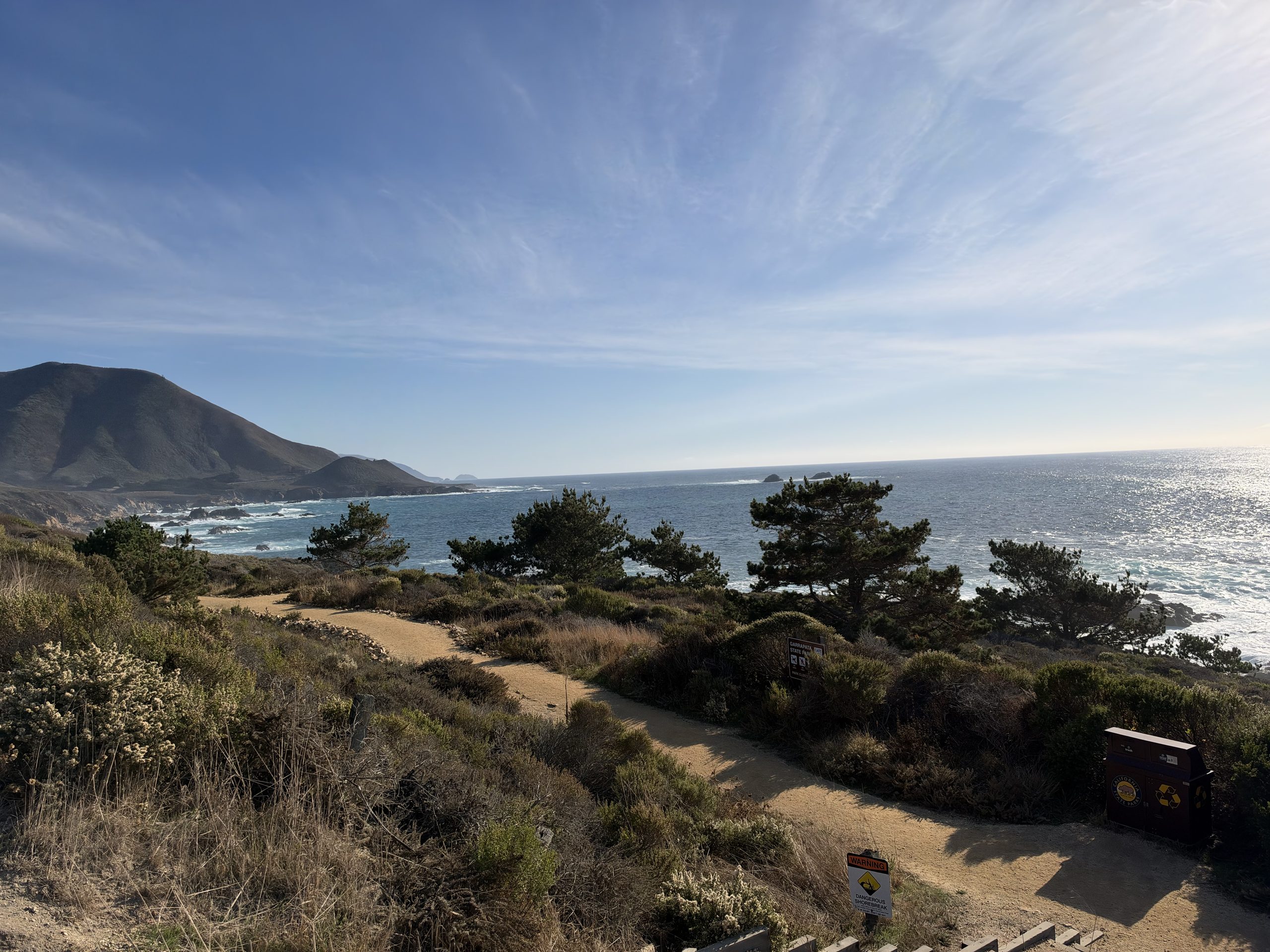
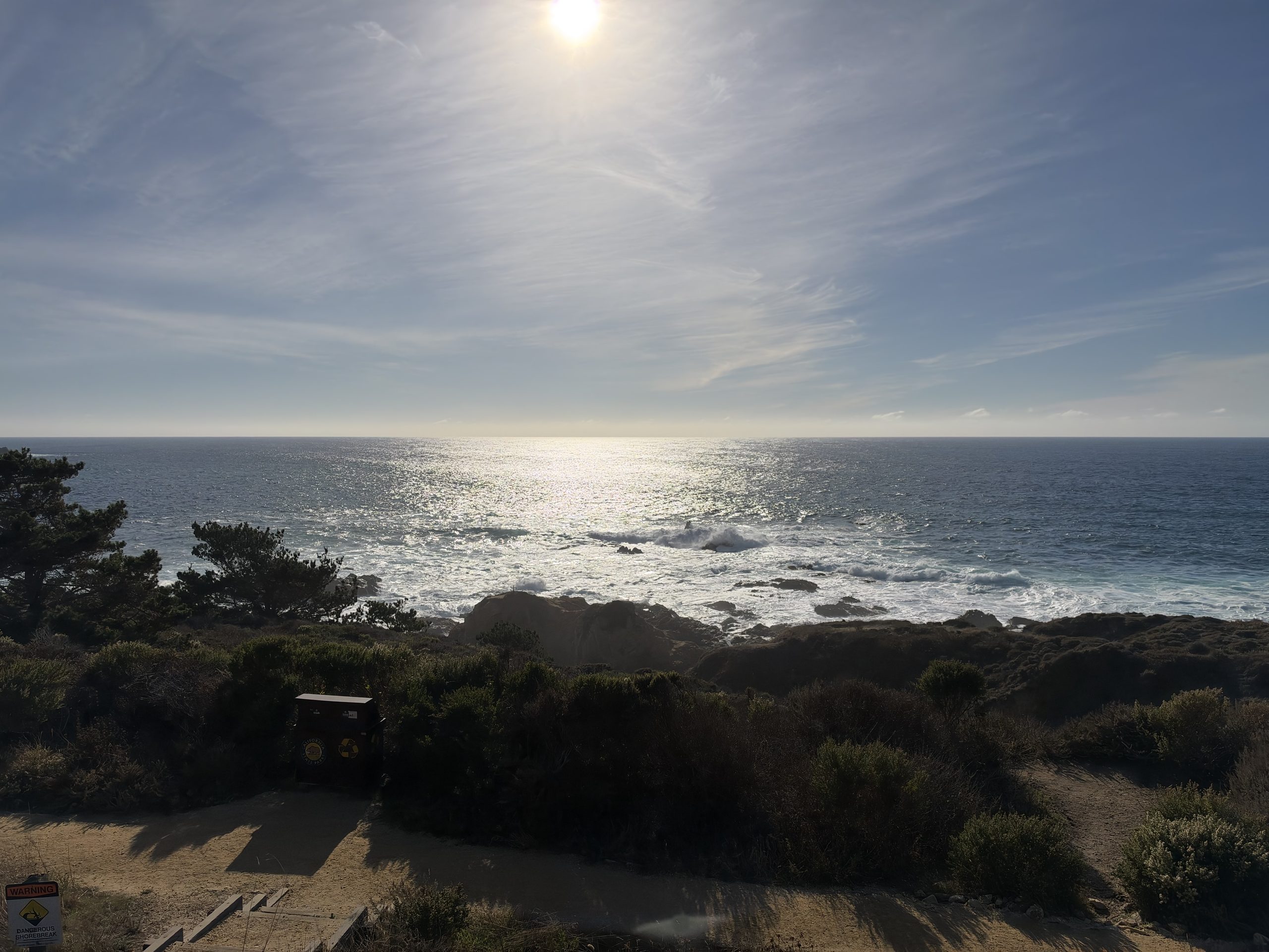
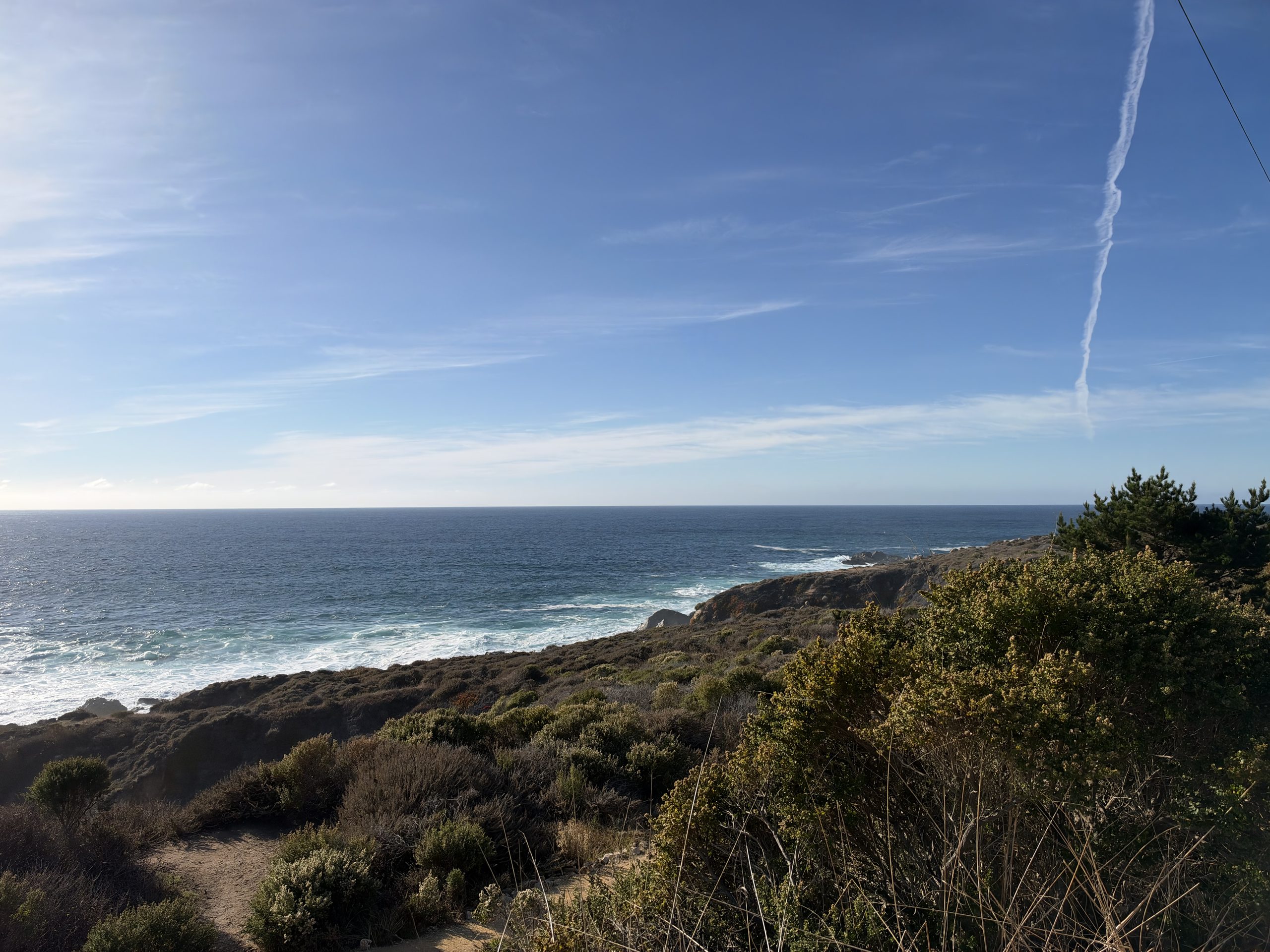
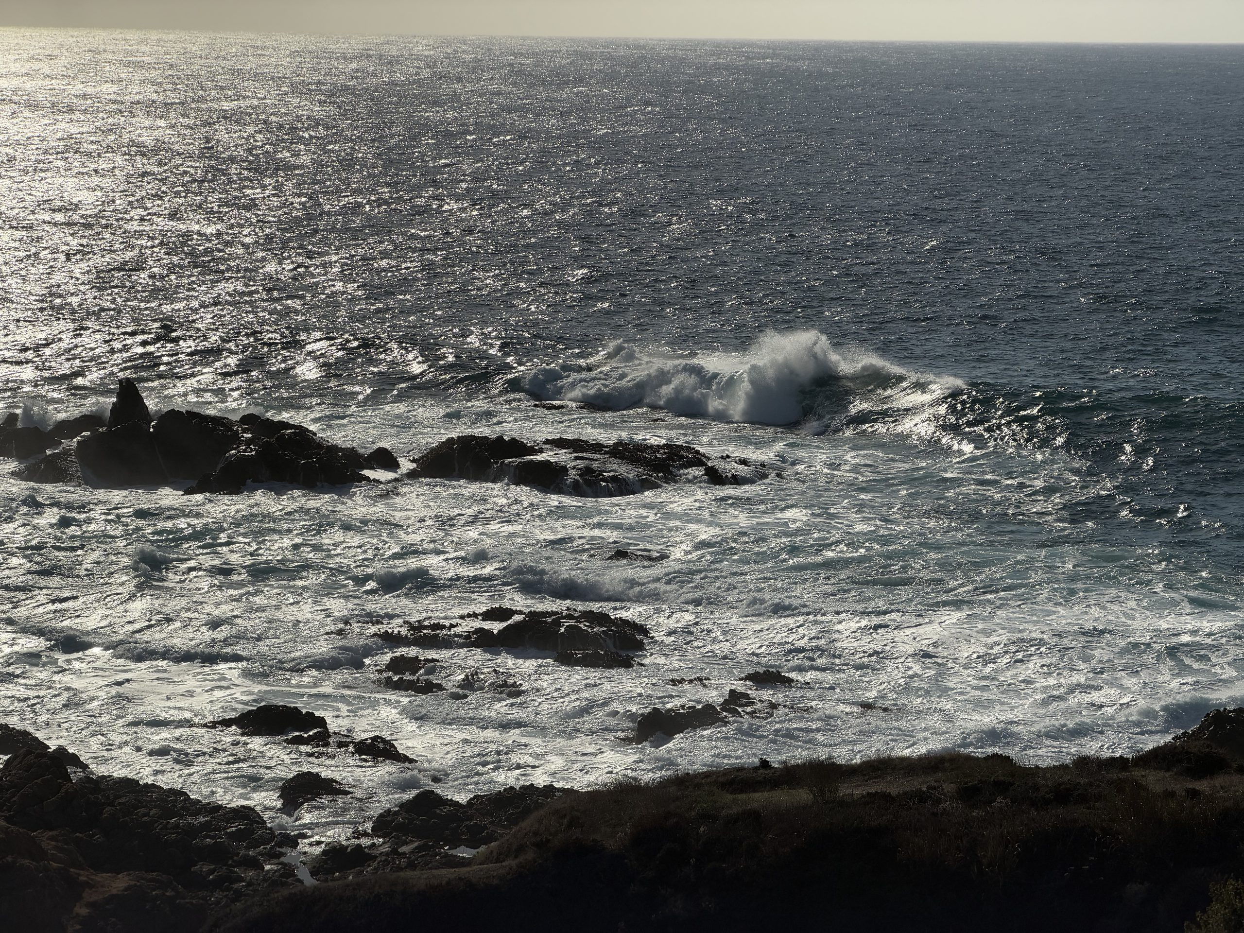
Garrapata:计划外的第一站
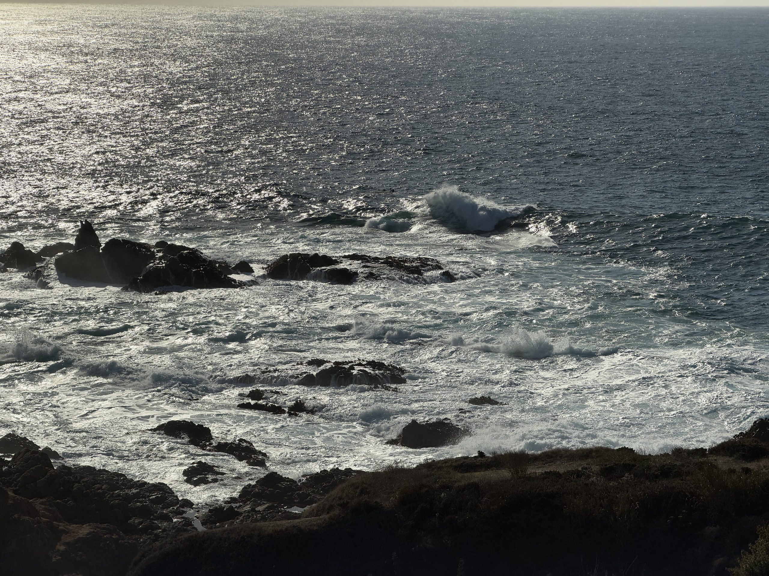
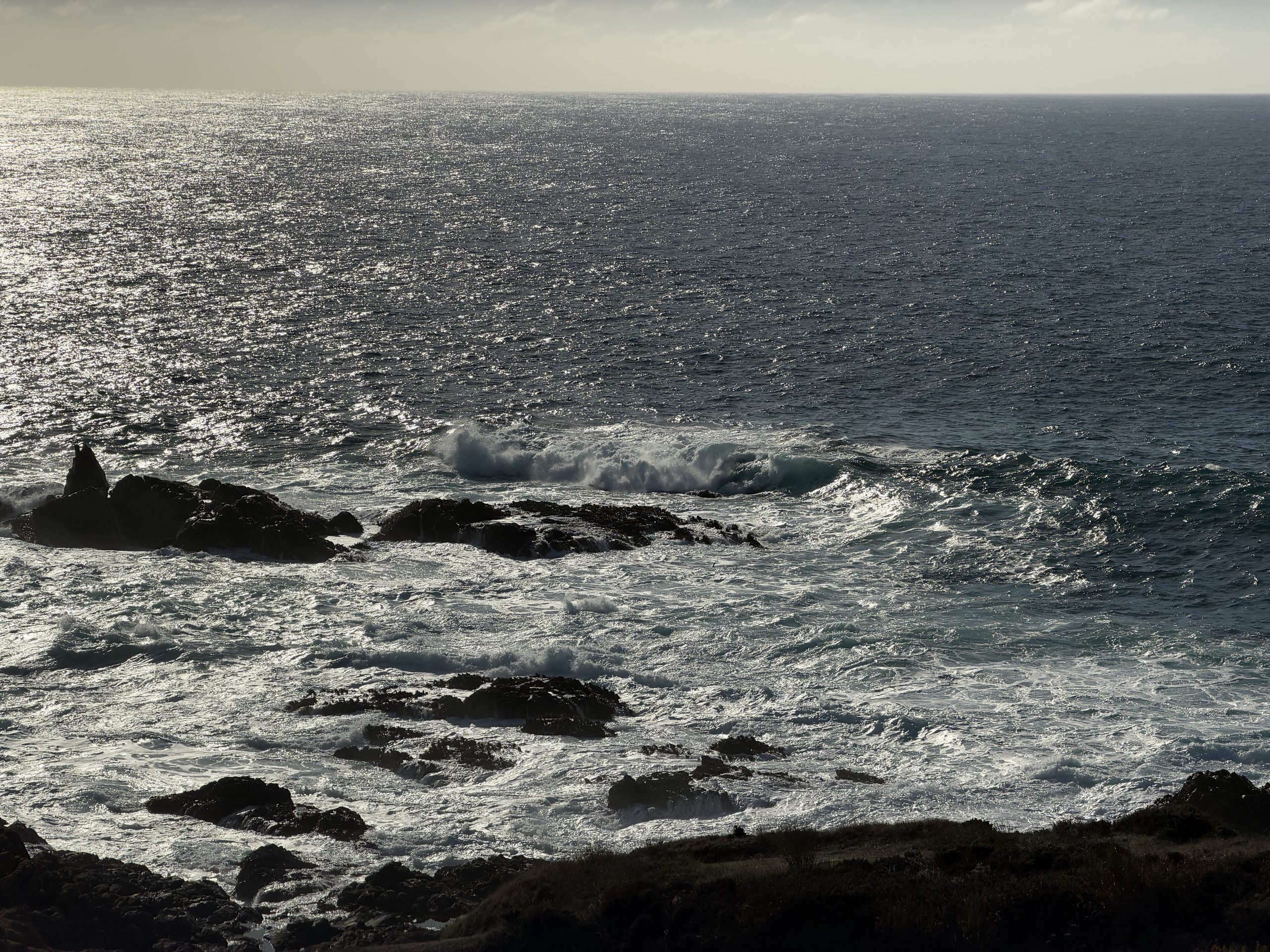
Carmel 往南十来分钟、Bixby 之前,Garrapata 州立公园的海崖步道。下午两点半的太阳正对着海,浪一组组打在黑色礁石上;往南看,海岸山脉直接插进海里。
Hurricane Point:回望 Bixby
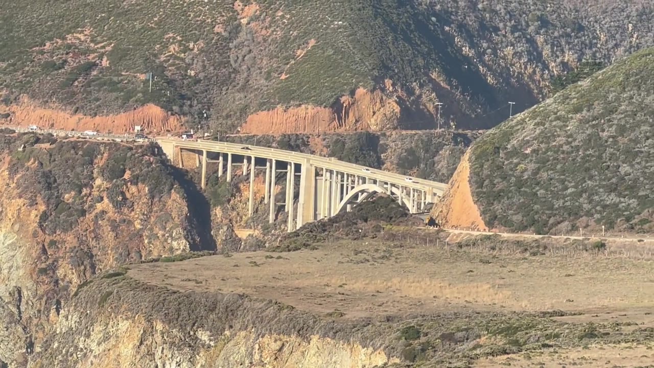
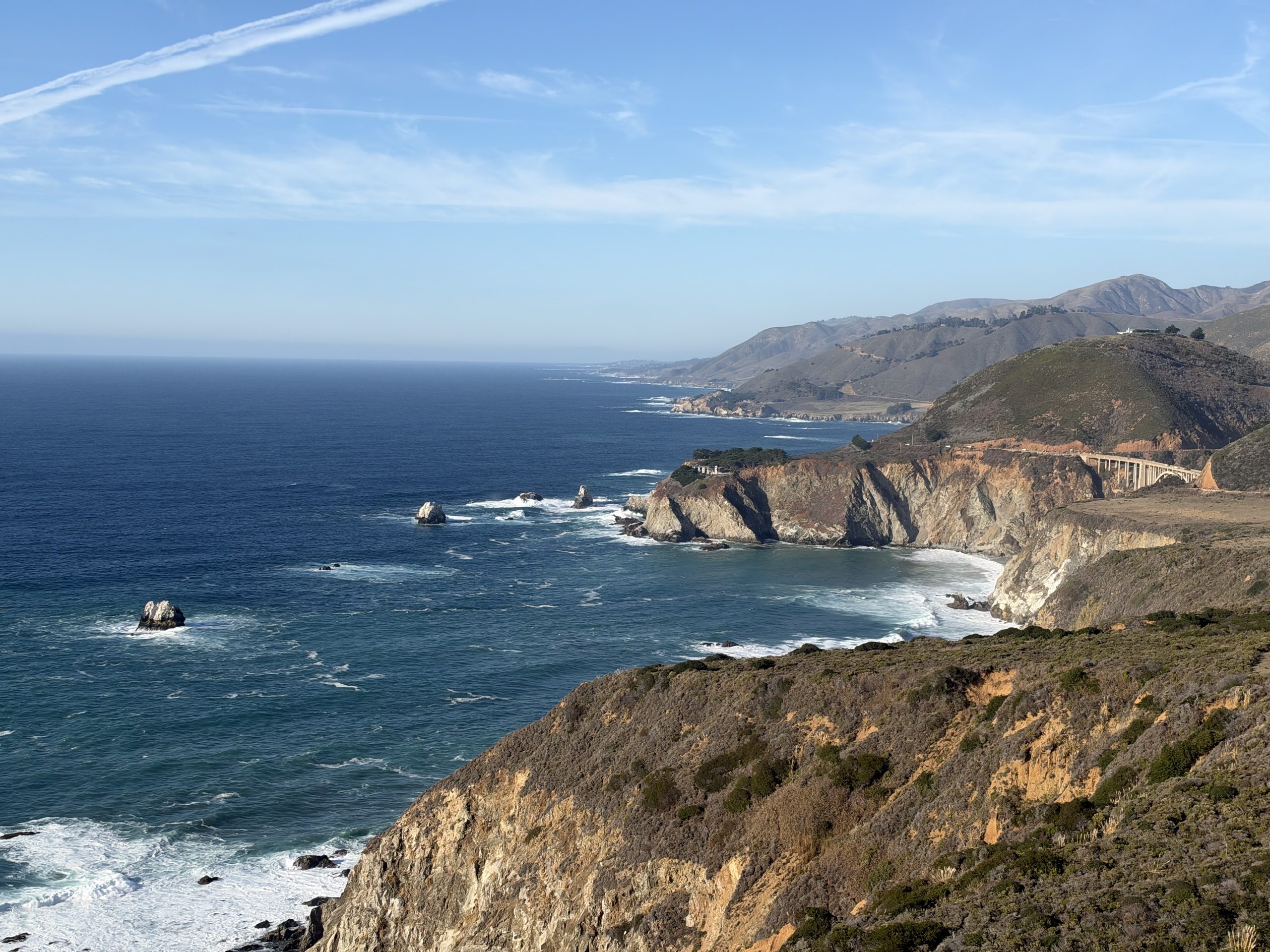
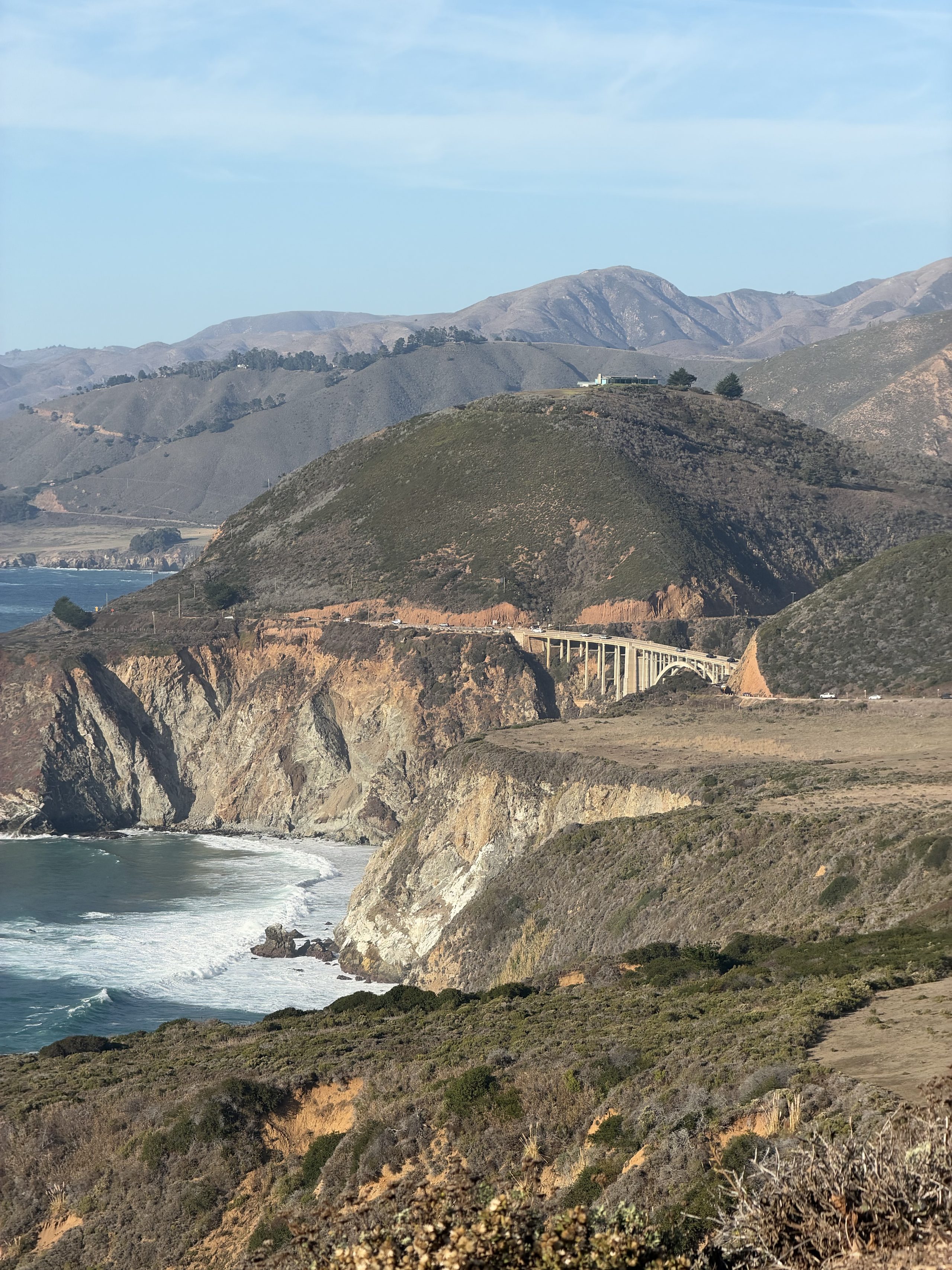
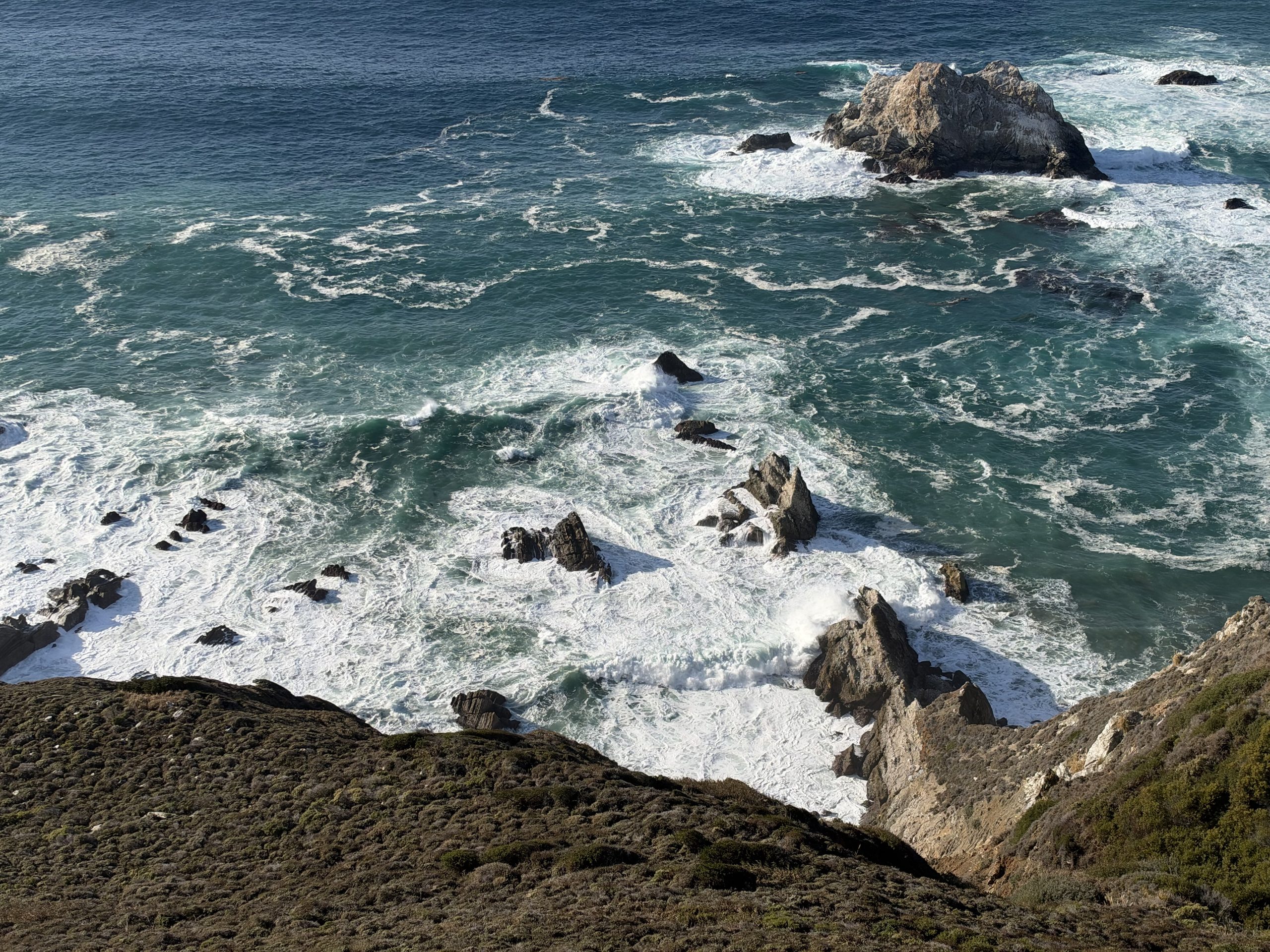
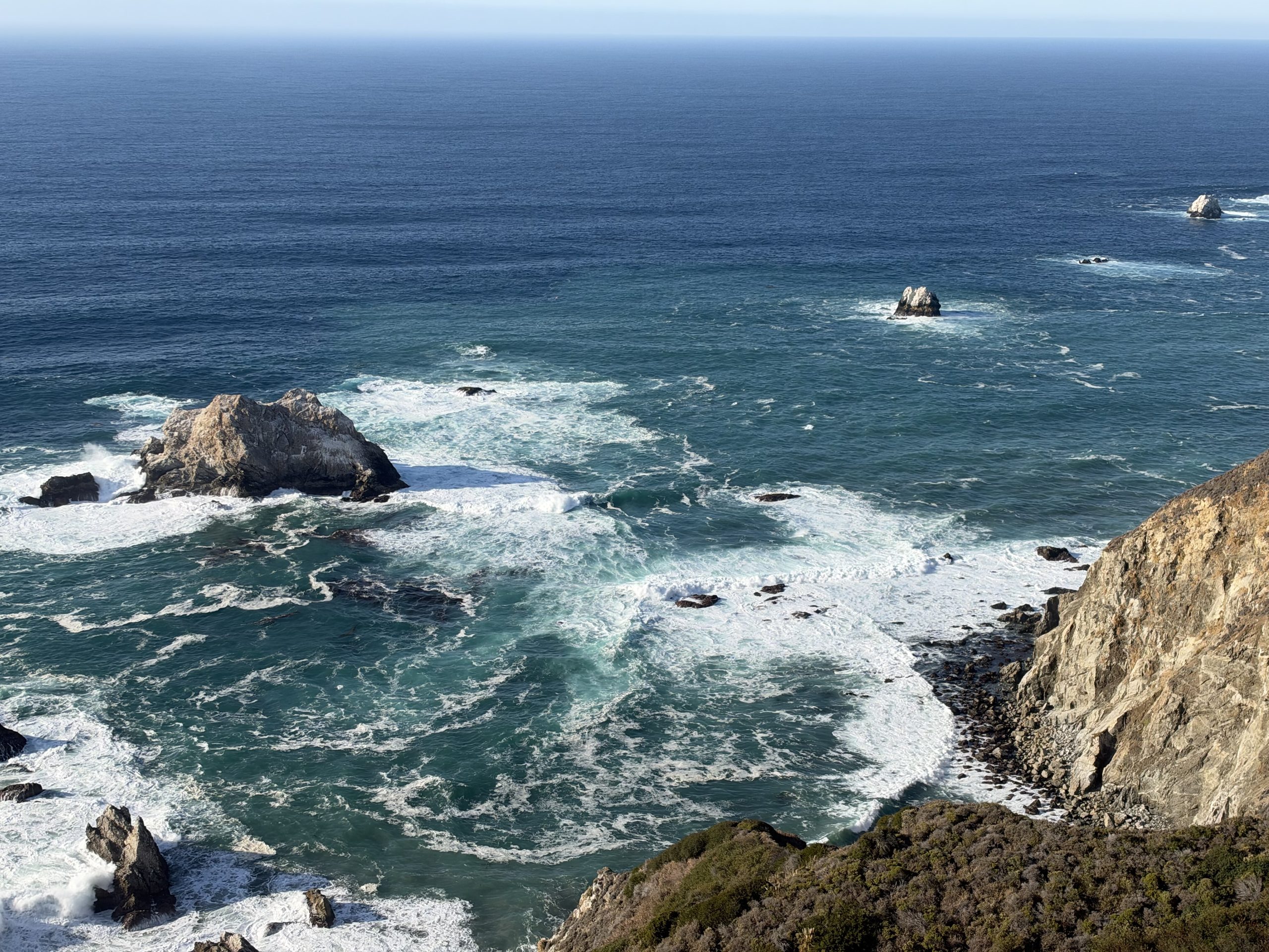
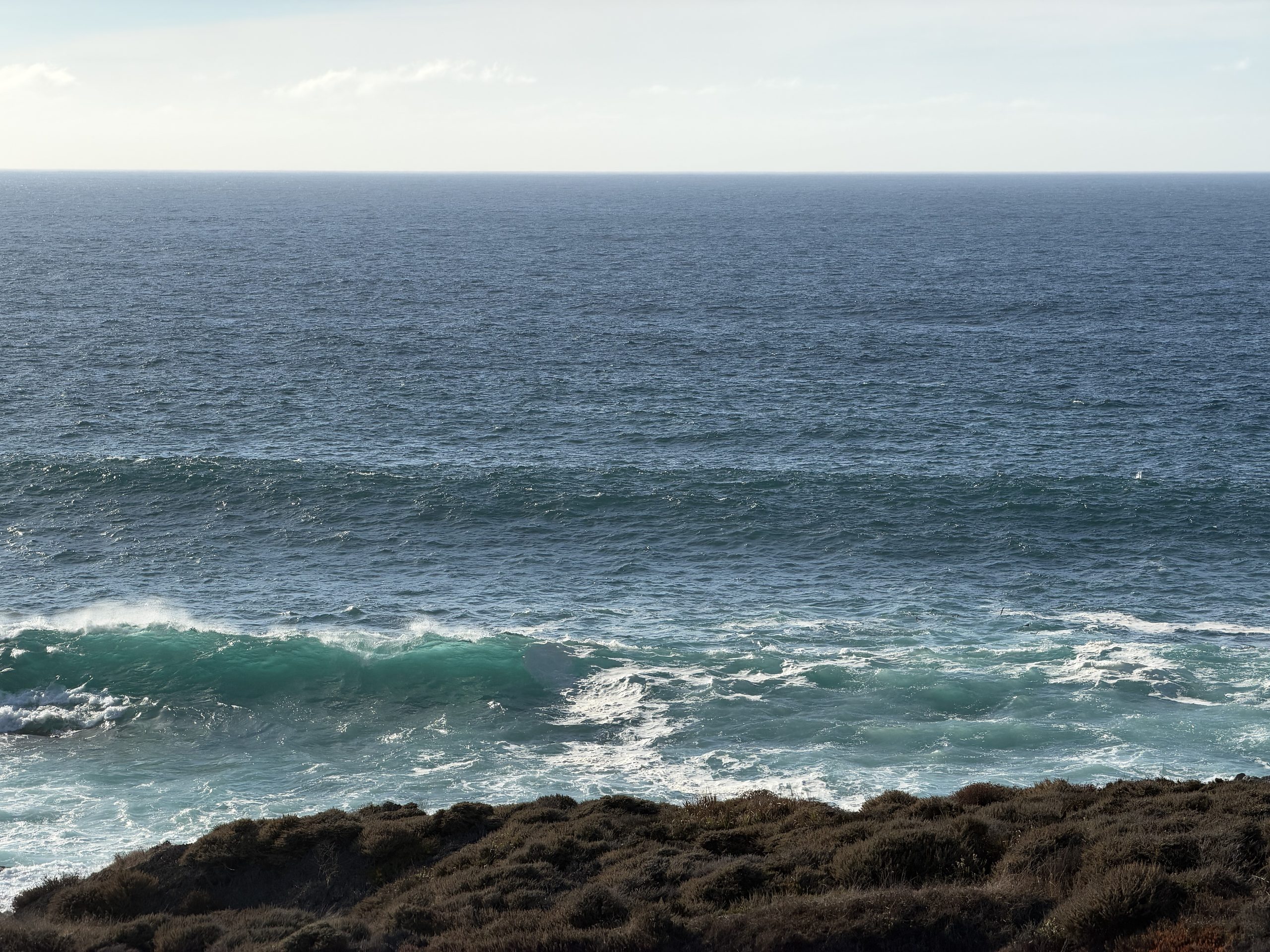
和计划一样:没在 Bixby 北边排队,直接开到桥南 1.5 英里的 Hurricane Point。脚下是绿松石色的海,回头就是 Bixby 桥。
Nepenthe 往南:金色时刻
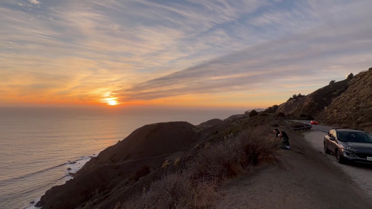
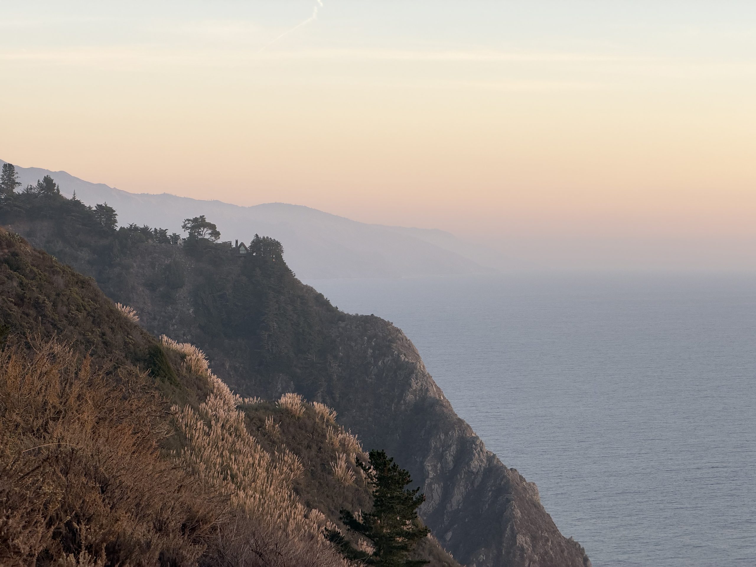
太阳落山前几分钟停在路边:浪一排排推上岸,坡上的蒲苇被逆光点亮,海岸一层层退进雾里。
日落那一刻:前面是一只戴耳罩的狗
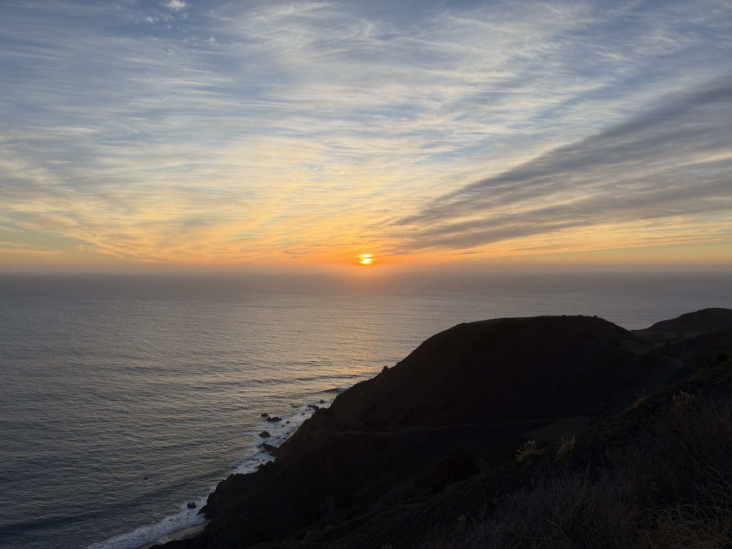
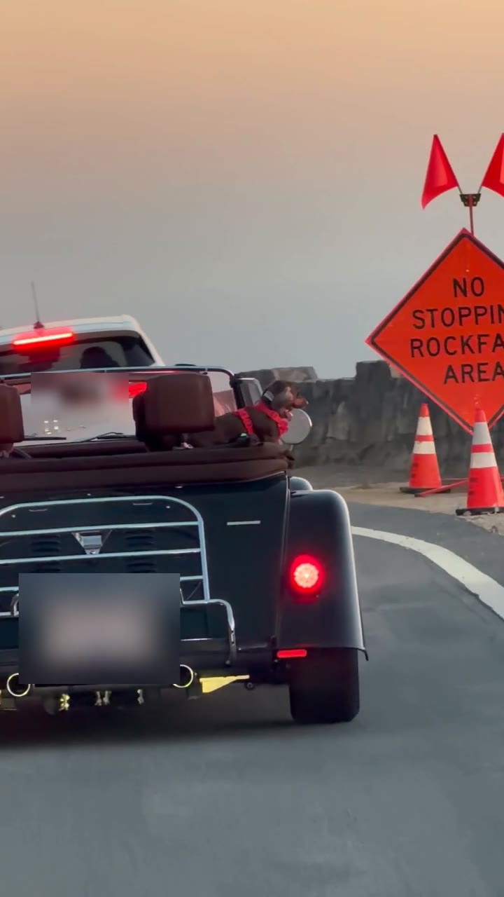
太阳落下去的时候还在开。前面是一辆敞篷老爷车,后座上一只狗戴着耳罩、系着红背带,迎着风看海;旁边的牌子写着“落石区,禁止停车”。(车牌和后视镜里的司机已打码)
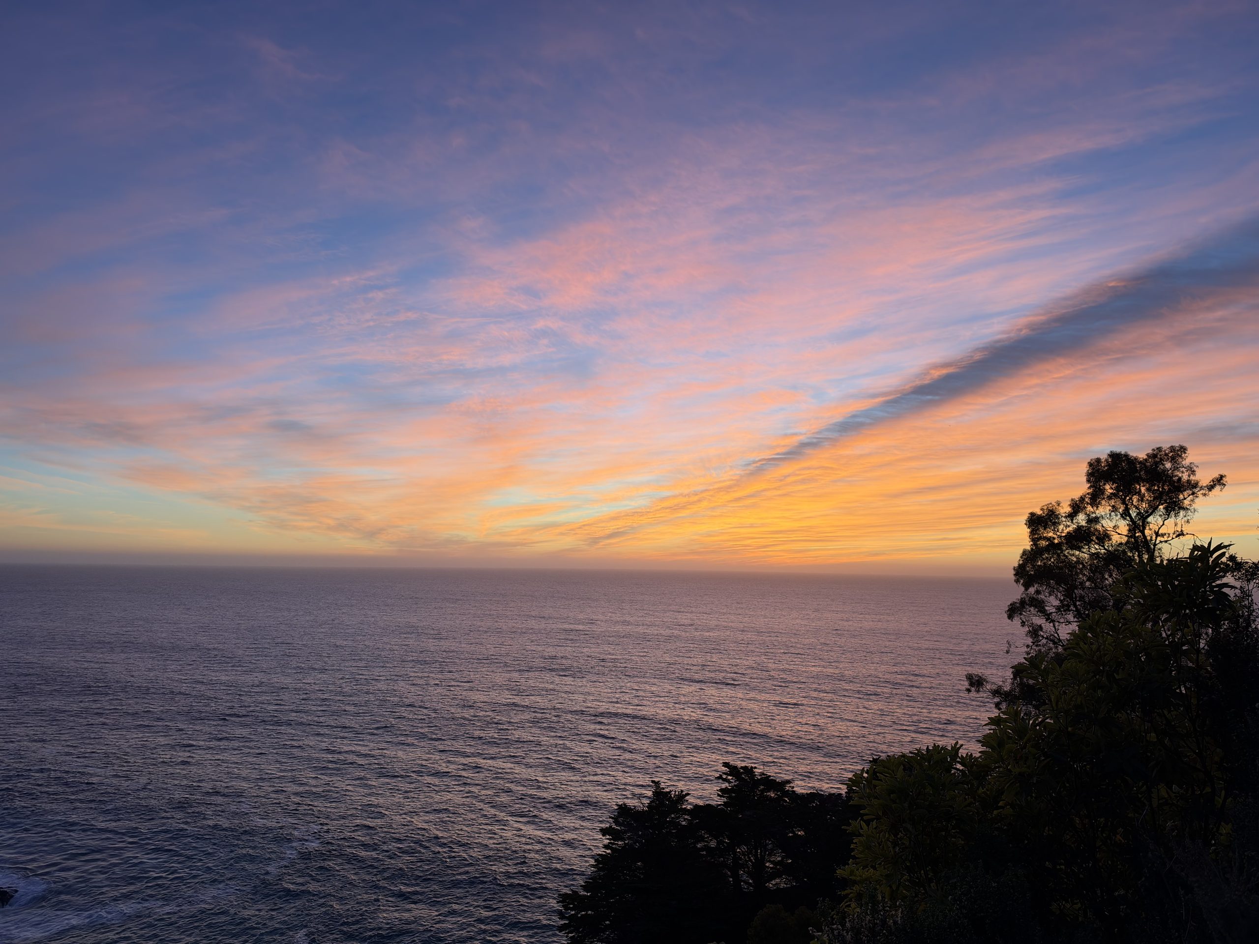
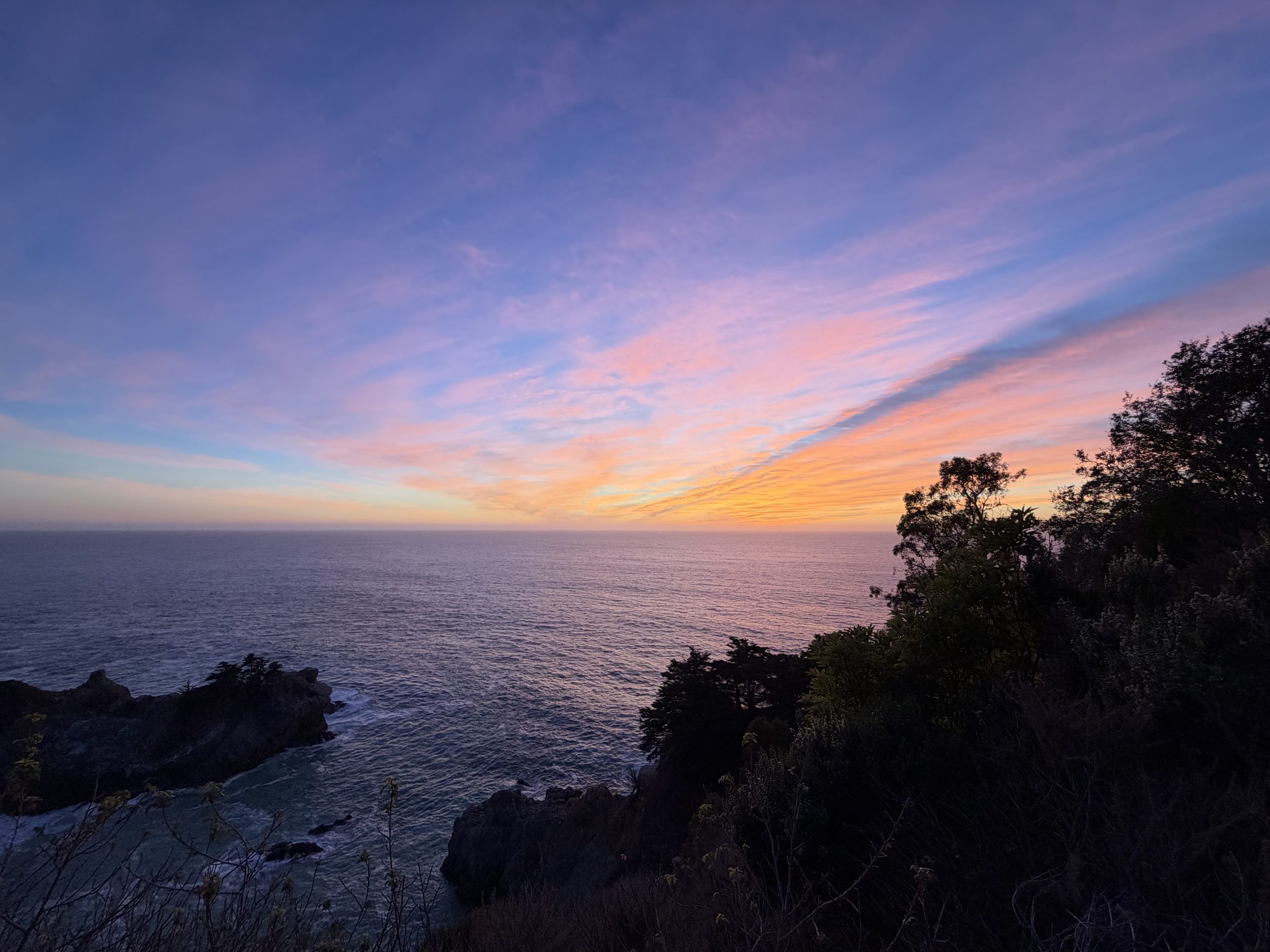
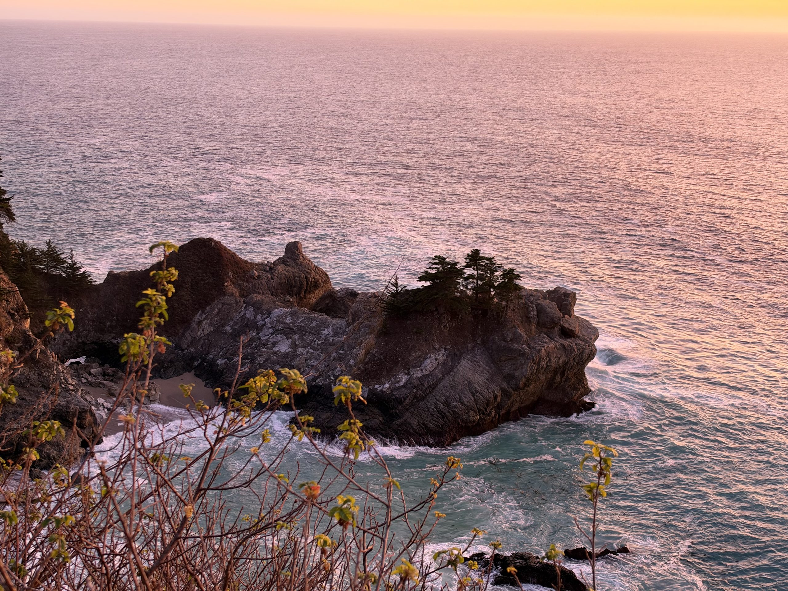
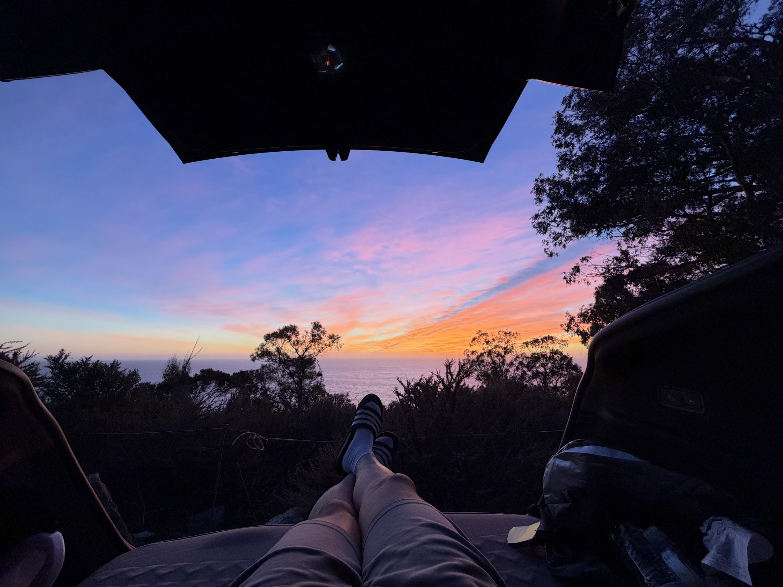
McWay 瀑布:日落后的天空
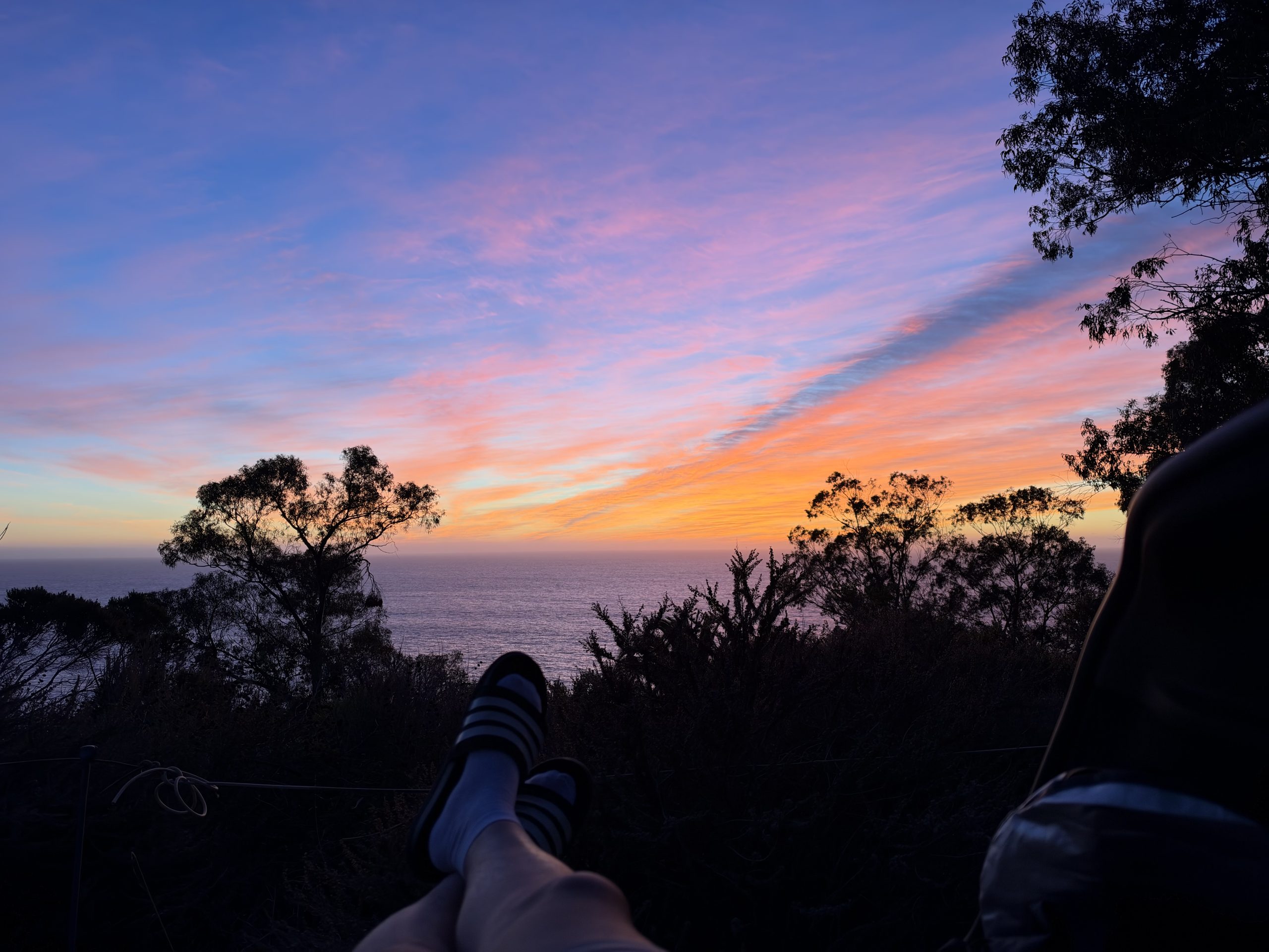
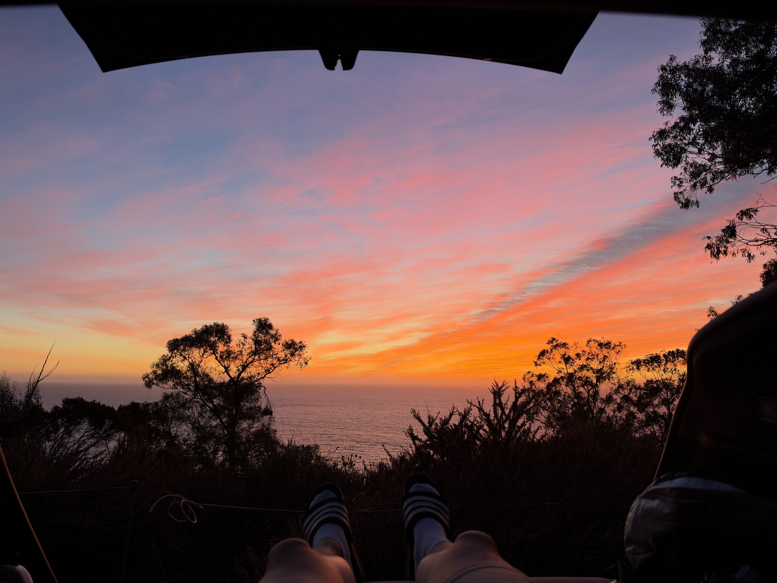
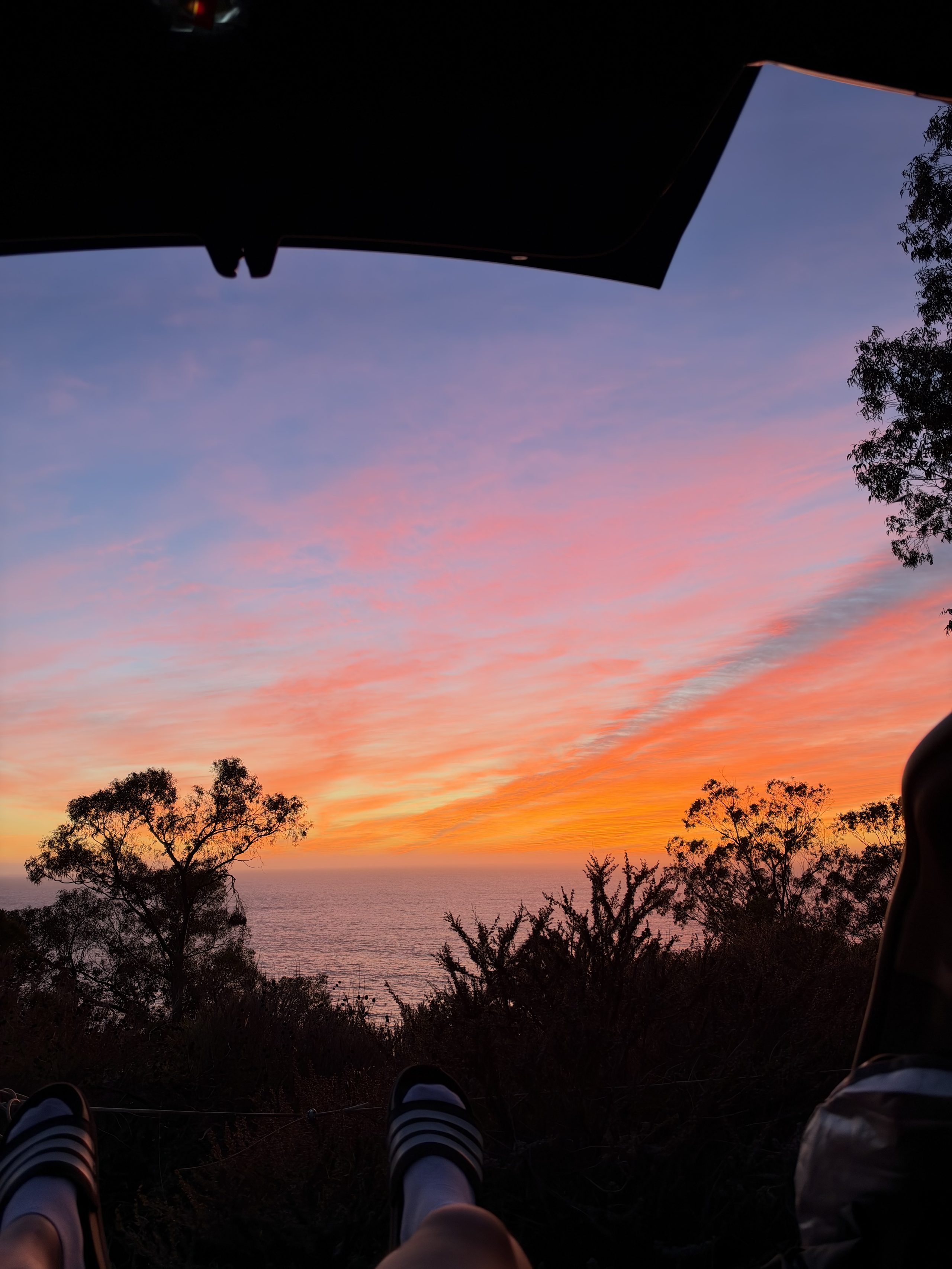
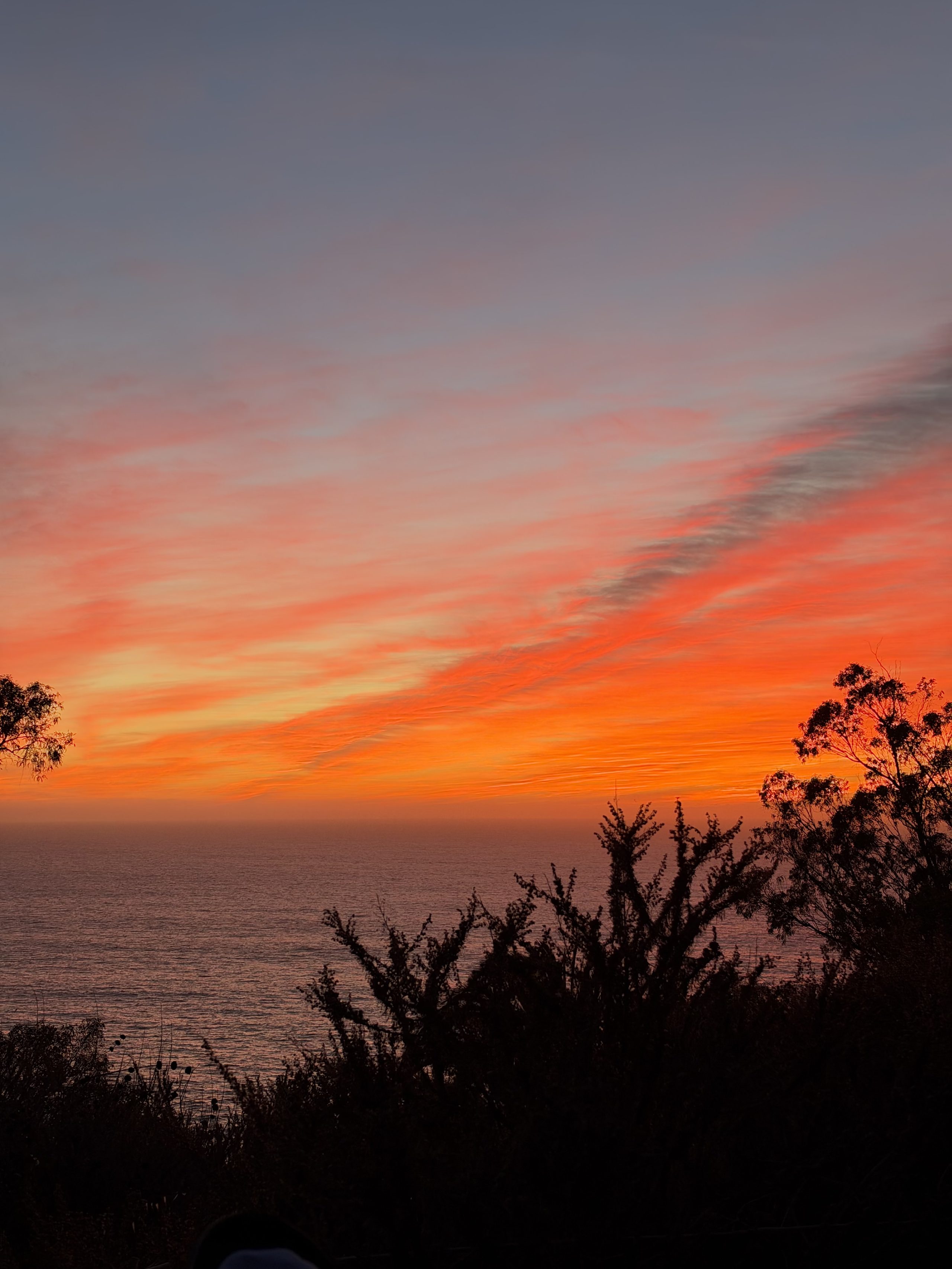
日落后 13 分钟到了 McWay,天在这时候才真正烧起来,瀑布落在粉色的小海湾里。然后打开后备箱躺进去:计划里的“海边车里睡一觉”,变成了躺着看晚霞。
🗺️ 路线地图
Santa Clara → 101 南 → 156 西 → 1 号公路进 Monterey(充电+买饭)→ Carmel 之后就是海岸:Bixby 桥 → Hurricane Point → Point Sur → Big Sur 村 → McWay 瀑布 → Big Creek 桥观景位(折返点)。原路返回。单程约 120 英里。金色圆点 = 当天实际拍照的地方。
⚠️ 出发前 5 分钟
- 海岸大部分路段没信号(Carmel Highlands 以南):Google 地图先下载离线区域(Monterey → Lucia),这页也截个图。
- 大苏尔里面没有超充:Monterey 充到 ≥ 85%(第 2 站)。
- 带外套/毯子:白天 21–24°C,入夜 14–16°C,悬崖观景位有风会更冷。
- 路况(Caltrans 今天 12:07):1 号公路大苏尔段通车。Rocky Creek 桥(Bixby 北边)和 Point Sur 灯塔段有24 小时单向放行红绿灯,来回各等几分钟。Mud Creek 只在工作日施工,今天没有。
📋 发车表 · 周六 12:30(PST)
| 时间 | 站点 | 说明 |
|---|---|---|
| 12:30 | 🏠 Santa Clara 出发 | 101 南 → 156 西 → 1 号公路,约 72 英里 / 1 小时 20–25 分。今天第一顿就在 Monterey——按老规矩路上只喝咖啡 |
| ≈13:55–14:25 | ⚡ 充电🥪 吃饭 🔌 Monterey 超充 + Whole Foods(Del Monte Center)✅ 超充 OPEN · 14 桩 250 kW ✅ WF 营业至 21:00 超充导航 → · Whole Foods → Tesla 输入: Monterey Supercharger Del Monte Center | 充到 ≥ 85%(约 20–25 分钟),够跑完整个大苏尔来回再回家还有余量。Whole Foods 走路 4 分钟:午饭现在吃,晚饭也一起买(晚上在车里吃),再带水和零食——之后海岸上没有便宜又开门的地方了。备用超充:Pacific Grove(200 Country Club Gate Center)、Sand City(2040 California Ave)、Marina(330 Reservation Rd) |
| ≈14:55–15:05 | 🌉 Bixby 桥 → 📸 Hurricane Point ✅ 大碎石停车场 导航 → Tesla 输入: Hurricane Point Big Sur | 过 Bixby 之前先过 Rocky Creek 单向红绿灯。Bixby 北侧停车位周末永远满——不排队,直接过桥,往南 1.5 英里的 Hurricane Point 才是正确机位:高、开阔、回望 Bixby 和整段海岸。风大 |
| ≈15:15–15:45 | 🚦 Point Sur 单向段 → Big Sur 村(穿过) | 跳过 Pfeiffer Beach:周末窄路入口常排长队 |
| ≈15:50–16:05 | 💧 McWay 瀑布(Julia Pfeiffer Burns 州立公园)可选 · 人多就跳过 导航 → Tesla 输入: Julia Pfeiffer Burns State Park | 瀑布直接落到沙滩上。公园停车 $10——国家公园年票在加州州立公园不能用。任何时候都不能下沙滩;去观景台的小路可能因挡墙施工封着,封了就别折腾 |
| ≈16:15–19:00 | ↩️ 折返点😴 车内小睡🌅 日落🌌 观星 🌊 Big Creek 桥观景位 导航 → · 备用(北 1 英里)→ Tesla 输入: Big Creek Bridge Big Sur | McWay 再往南 8 英里,整条路最空、最壮观的一段。车头朝海停在宽碎石地上,完全离开路面。整个傍晚都在这里,观星前不用在悬崖上摸黑开车: · 16:15–16:50 😴 锁车睡一觉(16:30 起进入金色光线) · 17:04 🌅 日落,正对太平洋 · 17:05–18:30 车里吃晚饭,看蓝调时刻;手机调暗,让眼睛适应黑暗 · 18:32 🌌 全黑:银河最亮的核心在西南方海面上方、很低,约 19:10 落下,先看那里;再抬头看头顶,银河带从西南一路拱到东北 · 最晚 19:00 出发回家 |
| ≈21:45 | 🏠 到家 | 夜路:约 20:20 过 Carmel → 1 号北 → 156 东 → 101 北。Carmel 时电量 < 30% 就在 Monterey(第 2 站)或 101 上的 Gilroy(681 Leavesley Rd 等)补一点 |
🌌 观星安全
- 完全离开路面停车,人不要站到路上:弯道看不见人,车灯会突然出现。
- 离车不超过几步:悬崖边没有护栏、边缘会塌,天黑根本看不见边。
- 人在车里就锁门;灯全关,手机用深色/红光模式。
- 18:30 如果还是阴天,最多等到 19:15,然后直接回家。
🌙 夜路回家
- 没有路灯、全是弯道:注意鹿、落石、没开灯的骑行者,弯道上远低于限速开。
- 单向放行红绿灯(Point Sur、Rocky Creek)红灯一定完全停住,哪怕对面没车——每次红灯要等几分钟。
- 后面跟了 5 辆以上车,就进观景位让行(加州法律要求)。
- 困了就进观景位再睡一会儿:22:00 前到家都行,时间有余量。
⚙️ 备用与裁剪
| 情况 | 操作 |
|---|---|
| 15:00 后才离开 Monterey / 累了 | Plan B:折返点改成 Hurricane Point,睡觉、17:04 日落、18:32 起看星都在这一个停车场。那边云量预报偏多(≈ 50–65%),北边有 Monterey 的光,但头顶和西南海面上空还是好看。回 Carmel 25 分钟,约 20:30 到家。导航 → |
| Big Creek 观景位太小或有人 | 用北边 1 英里的备用观景位(上表第二个链接),或 McWay 和 Big Creek 之间任何海侧的宽碎石观景位 |
| McWay 路边停满 | 直接跳过,开到 Big Creek:后半段的海岸比瀑布更壮观 |
| 电量不够 | 回程 Monterey 或 Gilroy 补电,二选一。大苏尔里面没有超充,别指望 |
🦺 SOP 四关(今天 ~12:10 核实):开放 ✅ Caltrans 1 号公路通车,超充 OPEN(supercharge.info),Whole Foods 营业至 21:00 · 淋浴 —(今晚回家)· 天气 ✅ NWS 预报 + 逐小时云量,日落/天文晨昏(sunrise-sunset.org)· 一键导航 ✅ 每站单点导航 + Tesla 输入名。观景位坐标来自 OpenStreetMap,没有实地核实过,所以给了备用点。
📷 How the day actually went
36 photos and 4 videos, in the order they were taken. Tap for full screen and swipe between them. All location data has been stripped.
Down Highway 1
Not the plan's 101/156: over Hwy 17 to Santa Cruz and onto Highway 1 from there. The dune freeway at Marina, Monterey Bay flashing up on the right at Sand City, then through Monterey and Carmel.
Garrapata: the first unplanned stop
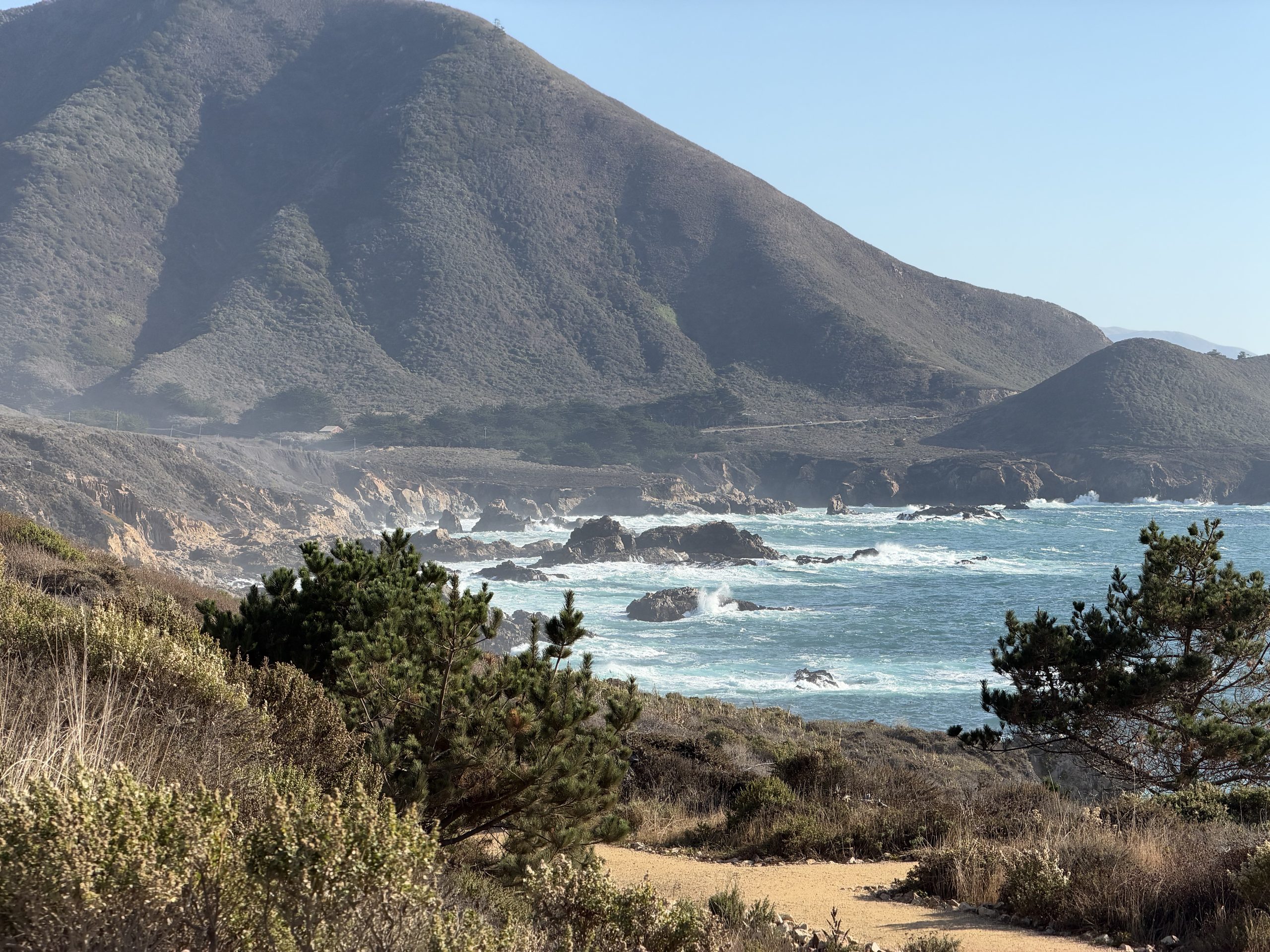
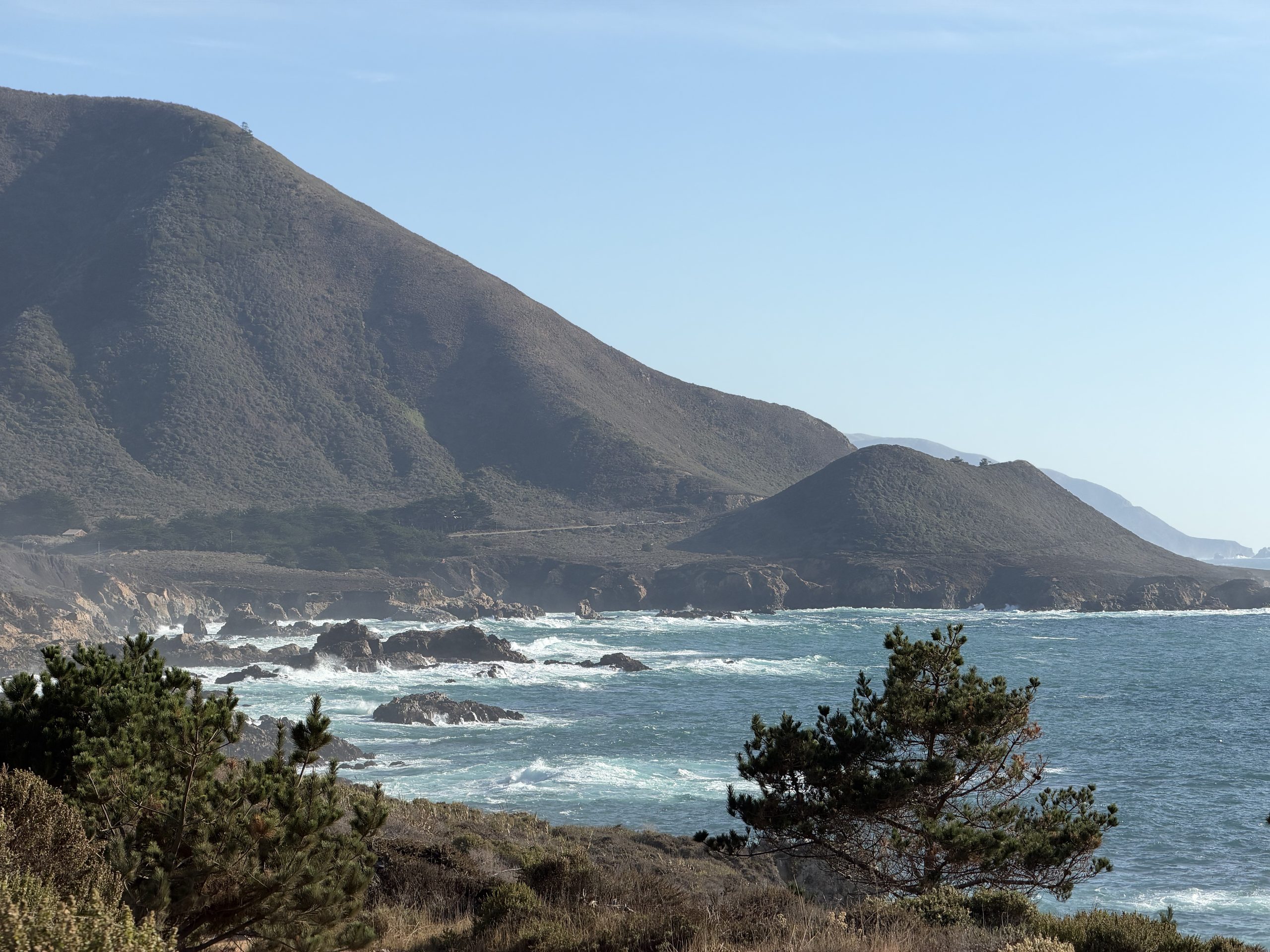
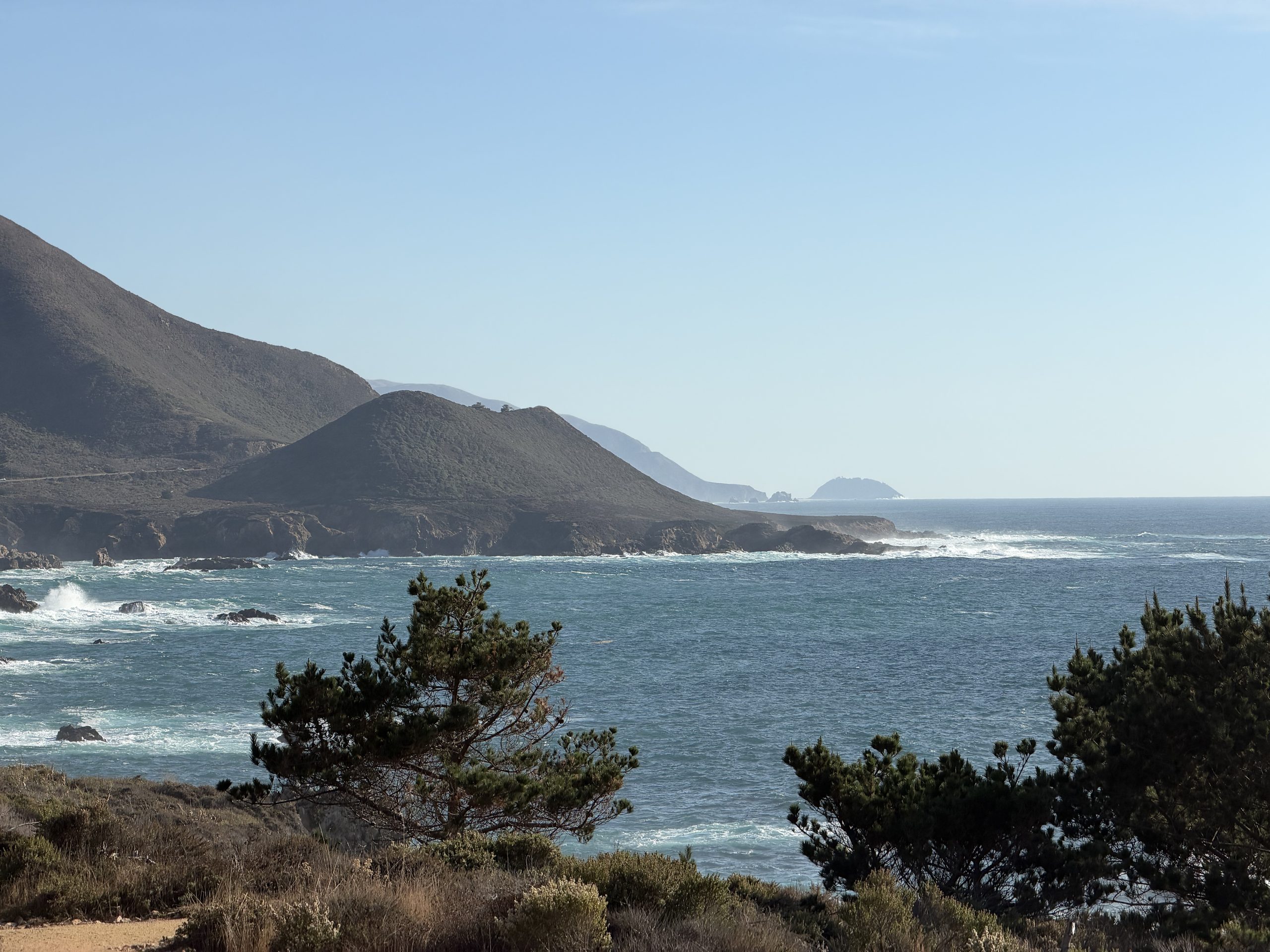
Ten minutes south of Carmel, before Bixby: the bluff trail at Garrapata State Park. The 2:30 sun sat right over the water, sets of waves broke on black rock, and to the south the coast range dropped straight into the sea.
Hurricane Point: looking back at Bixby
As planned: no queueing at Bixby's north lot, straight on to Hurricane Point 1.5 miles south. Turquoise water below, Bixby Bridge behind.
South of Nepenthe: golden hour
A roadside stop minutes before sunset: lines of surf, pampas grass lit from behind, ridges fading layer by layer into the haze.
The moment of sunset: a dog in ear muffs, just ahead
Still driving when the sun went down. Ahead: a vintage roadster with a dog in the back, ear muffs on and a red harness, nose into the wind, next to a sign saying NO STOPPING · ROCKFALL AREA. (The plate and the driver's reflection are blurred.)
McWay Falls: the sky after sunset
McWay, 13 minutes after sunset, which is when the sky really caught fire, the falls dropping into a pink cove. Then hatch up and lie down in the back: the plan's "nap by the sea" became lying in the trunk watching the afterglow.
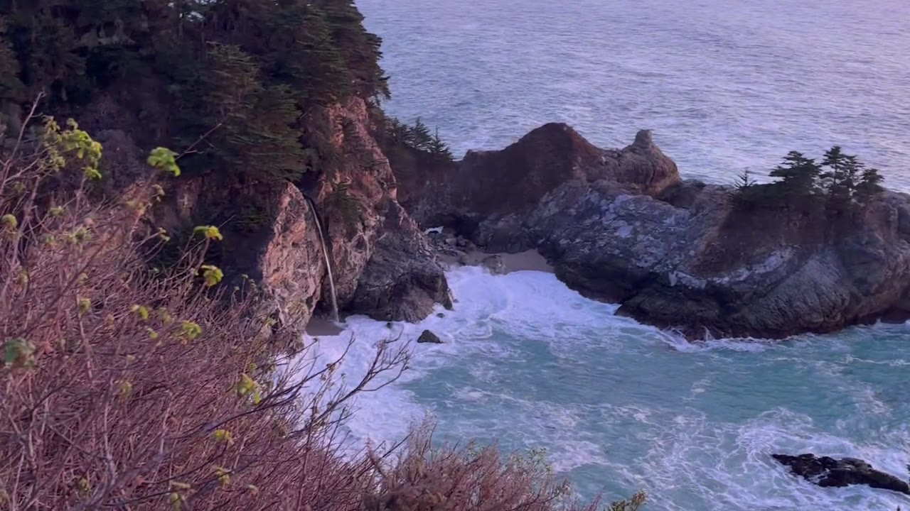 0:2217:18 · The afterglow, and McWay Falls in pink light
🗺️ The route
Santa Clara → 101 S → 156 W → Hwy 1 into Monterey (charge + food) → the coast starts after Carmel: Bixby Bridge → Hurricane Point → Point Sur → Big Sur Village → McWay Falls → Big Creek Bridge vista (turnaround). Same road back. About 120 mi each way. Gold dots = where the photos were actually taken.
⚠️ Five minutes before you leave
- No cell signal on most of the coast south of Carmel Highlands. In Google Maps, download an offline area (Monterey → Lucia) and screenshot this page.
- No Superchargers inside Big Sur. Charge to ≥ 85% at Monterey (stop 2).
- Pack a jacket or blanket. Afternoon 21–24°C, night 14–16°C, colder in the wind on the cliff turnouts.
- Road (Caltrans, 12:07 today): Hwy 1 through Big Sur is open. There are 24/7 one-way signals at Rocky Creek Bridge (just north of Bixby) and at Point Sur Lighthouse, so expect a few minutes' wait at each, both ways. Mud Creek work is weekdays only, so nothing there today.
📋 Run sheet · Saturday 12:30 (PST)
| Time | Stop | Notes |
|---|---|---|
| 12:30 | 🏠 Leave Santa Clara | 101 S → 156 W → Hwy 1, about 72 mi / 1 h 20–25 min. The first meal is in Monterey; coffee only until then, as usual |
| ≈13:55–14:25 | ⚡ CHARGE🥪 FOOD 🔌 Monterey Supercharger + Whole Foods (Del Monte Center) ✅ SC OPEN · 14 stalls 250 kW ✅ WF open till 21:00 Supercharger → · Whole Foods → Tesla: Monterey Supercharger Del Monte Center | Charge to ≥ 85% (about 20–25 min). That covers all of Big Sur and the drive home with margin. Whole Foods is a 4-min walk. Eat lunch now and buy dinner too (you'll eat it in the car), plus water and snacks. Nothing cheap is open on the coast later. Backup chargers: Pacific Grove (200 Country Club Gate Center), Sand City (2040 California Ave), Marina (330 Reservation Rd) |
| ≈14:55–15:05 | 🌉 Bixby Bridge → 📸 Hurricane Point ✅ big gravel lot Navigate → Tesla: Hurricane Point Big Sur | The Rocky Creek one-way signal comes first. Bixby's north-side lot is always full on weekends: don't queue, just drive across. Hurricane Point, 1.5 mi south, is the better spot: high and open, looking back at Bixby and down the whole coast. Windy |
| ≈15:15–15:45 | 🚦 Point Sur one-way zone → Big Sur Village (pass through) | Skip Pfeiffer Beach: the narrow access road often has a long weekend line |
| ≈15:50–16:05 | 💧 McWay Falls (Julia Pfeiffer Burns SP) optional · skip if packed Navigate → Tesla: Julia Pfeiffer Burns State Park | A waterfall straight onto the beach. Park lot $10; the federal annual pass isn't valid at California State Parks. No beach access ever. The short overlook trail may be closed for retaining-wall work; if it is, don't bother |
| ≈16:15–19:00 | ↩️ TURNAROUND😴 NAP🌅 SUNSET🌌 STARS 🌊 Big Creek Bridge vista turnout Navigate → · Backup (1 mi N) → Tesla: Big Creek Bridge Big Sur | 8 mi past McWay, the emptiest and most dramatic stretch of the drive. Park nose to the ocean on the wide gravel, fully off the pavement. The whole evening happens here, so there's no cliff driving in the dark before the stars: · 16:15–16:50 😴 nap, doors locked (golden light from 16:30) · 17:04 🌅 sunset straight out over the Pacific · 17:05–18:30 dinner in the car, blue hour; dim your phone so your eyes adjust · 18:32 🌌 fully dark. The Milky Way's bright core sits low in the southwest over the ocean and sets around 19:10, so look there first. Then look straight up: the band arches overhead from southwest to northeast · leave by 19:00 at the latest |
| ≈21:45 | 🏠 Home | Night drive: Carmel ≈ 20:20 → Hwy 1 N → 156 E → 101 N. Under 30% at Carmel? Top up at Monterey (stop 2) or in Gilroy on 101 (681 Leavesley Rd and others) |
🌌 Stargazing safety
- Park fully off the road and never stand on the pavement. Drivers can't see you, and headlights come around the bends without warning.
- Stay within a few steps of the car. The cliff edges are unfenced and crumbly, and you can't see them in the dark.
- Lock the doors while you're inside. Lights off; use your phone in dark or red mode.
- If it's still overcast at 18:30, wait until 19:15 at most, then drive home.
🌙 The drive home in the dark
- No streetlights and constant curves. Watch for deer, rocks on the road and cyclists without lights, and take the bends well under the limit.
- Come to a full stop at the one-way signals (Point Sur, Rocky Creek), even with nobody coming. Each red lasts a few minutes.
- If 5 or more cars stack up behind you, pull into a turnout and let them pass. California law requires it.
- Drowsy? Pull into a turnout and nap again. You have until 22:00, so there's slack.
⚙️ Trims and fallbacks
| Situation | Move |
|---|---|
| Leaving Monterey after 15:00, or tired | Plan B: turn around at Hurricane Point and do the nap, the 17:04 sunset and the stars (from 18:32) all in that one lot. The cloud forecast is worse up there (≈ 50–65%) and Monterey glows to the north, but the sky overhead and southwest over the ocean is still good. It's 25 min back to Carmel, home ≈ 20:30. Navigate → |
| Big Creek turnout is small or taken | Use the backup turnout 1 mi north (the second link above), or any wide ocean-side gravel turnout between McWay and Big Creek |
| McWay shoulders packed | Skip it and continue to Big Creek; the coast further south is more dramatic than the falls |
| Battery low | Top up on the way home at Monterey or Gilroy. There are no Superchargers inside Big Sur |
🦺 SOP gates (checked today ~12:10): open ✅ (Caltrans says Hwy 1 is open; Supercharger OPEN per supercharge.info; Whole Foods open till 21:00) · shower — (home tonight) · weather ✅ (NWS forecast and hourly cloud cover; sunset and astronomical twilight from sunrise-sunset.org) · one-tap ✅ (single-pin navigation and a Tesla search name for every stop). Turnout pins come from OpenStreetMap and haven't been checked in person, so backups are listed.