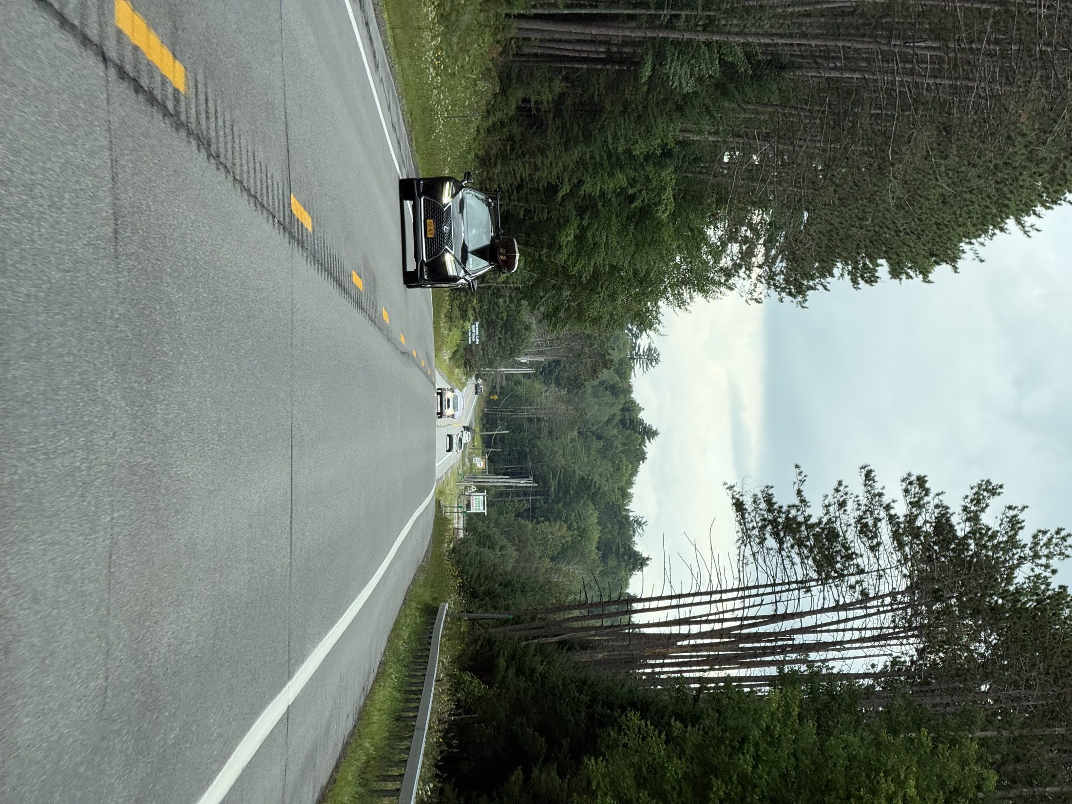
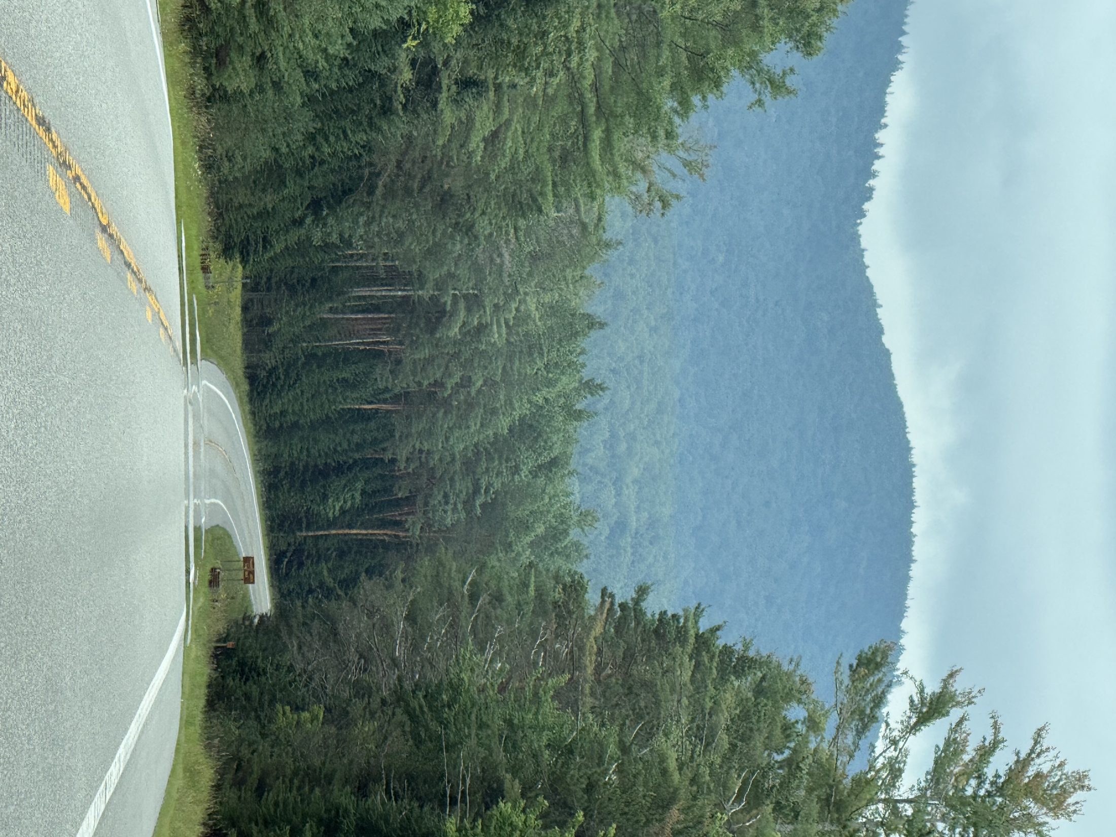
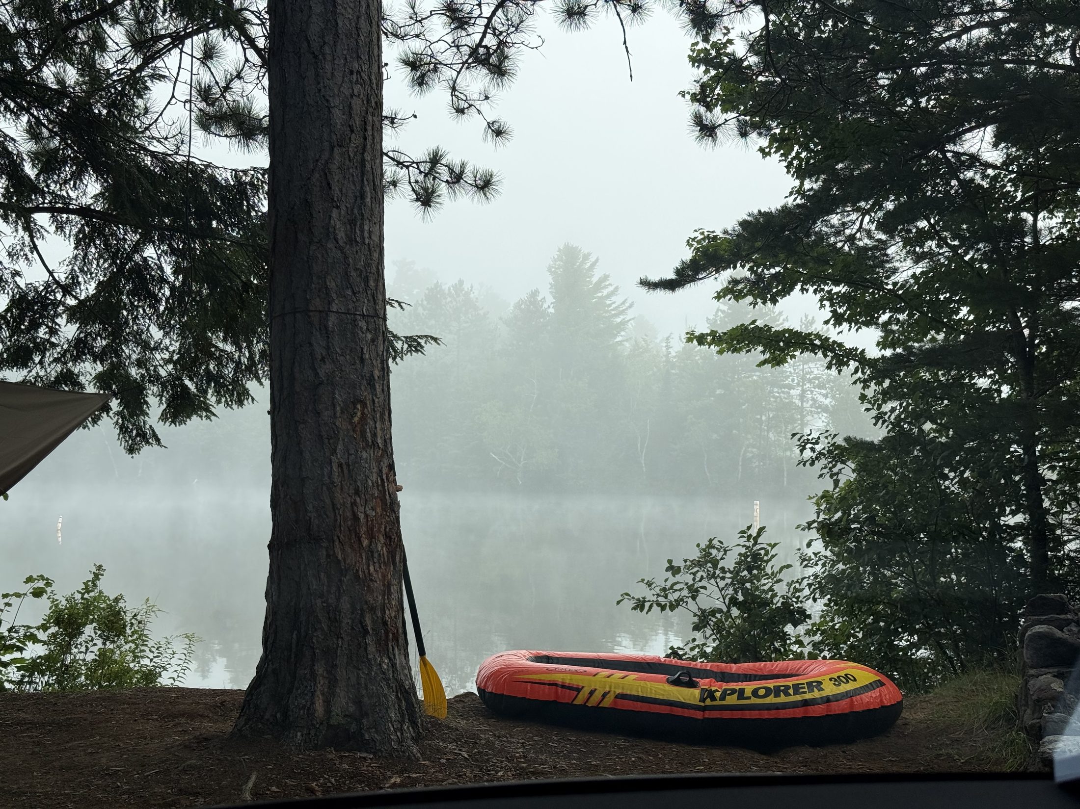
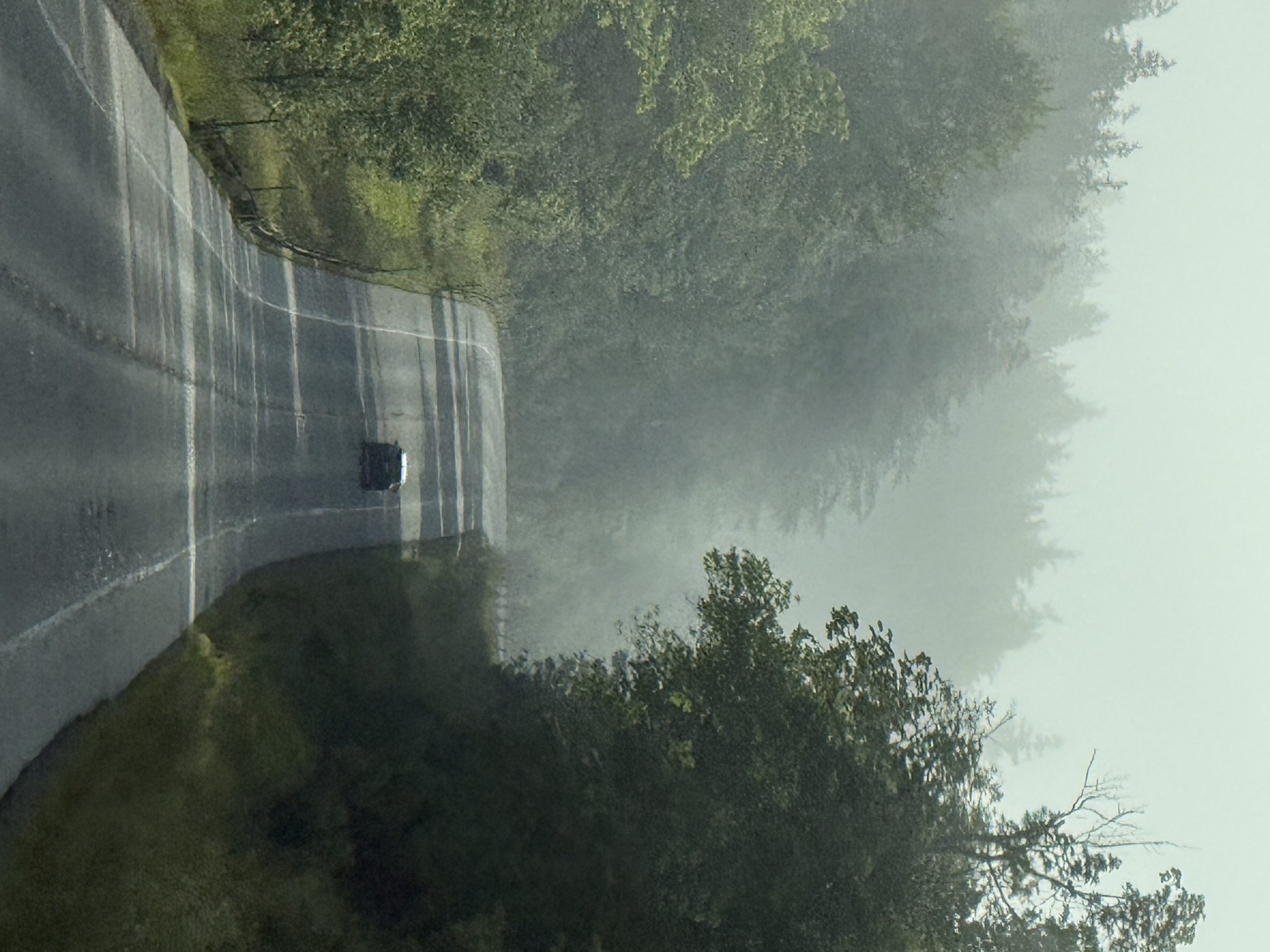
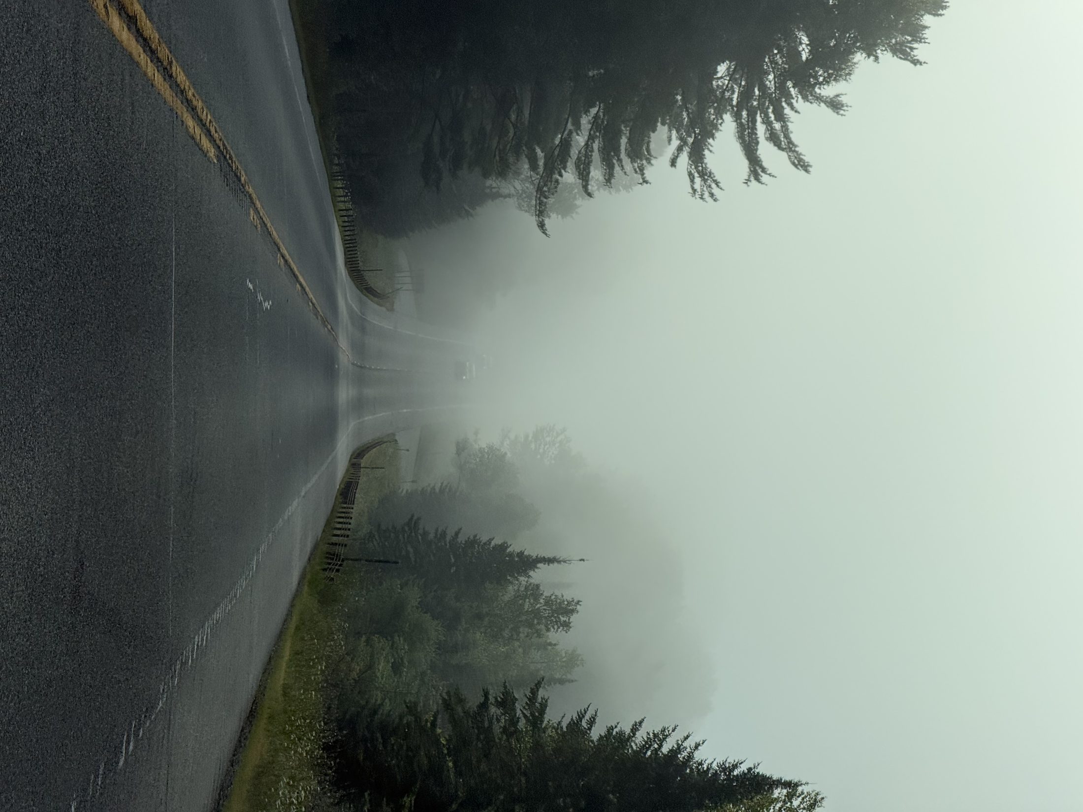
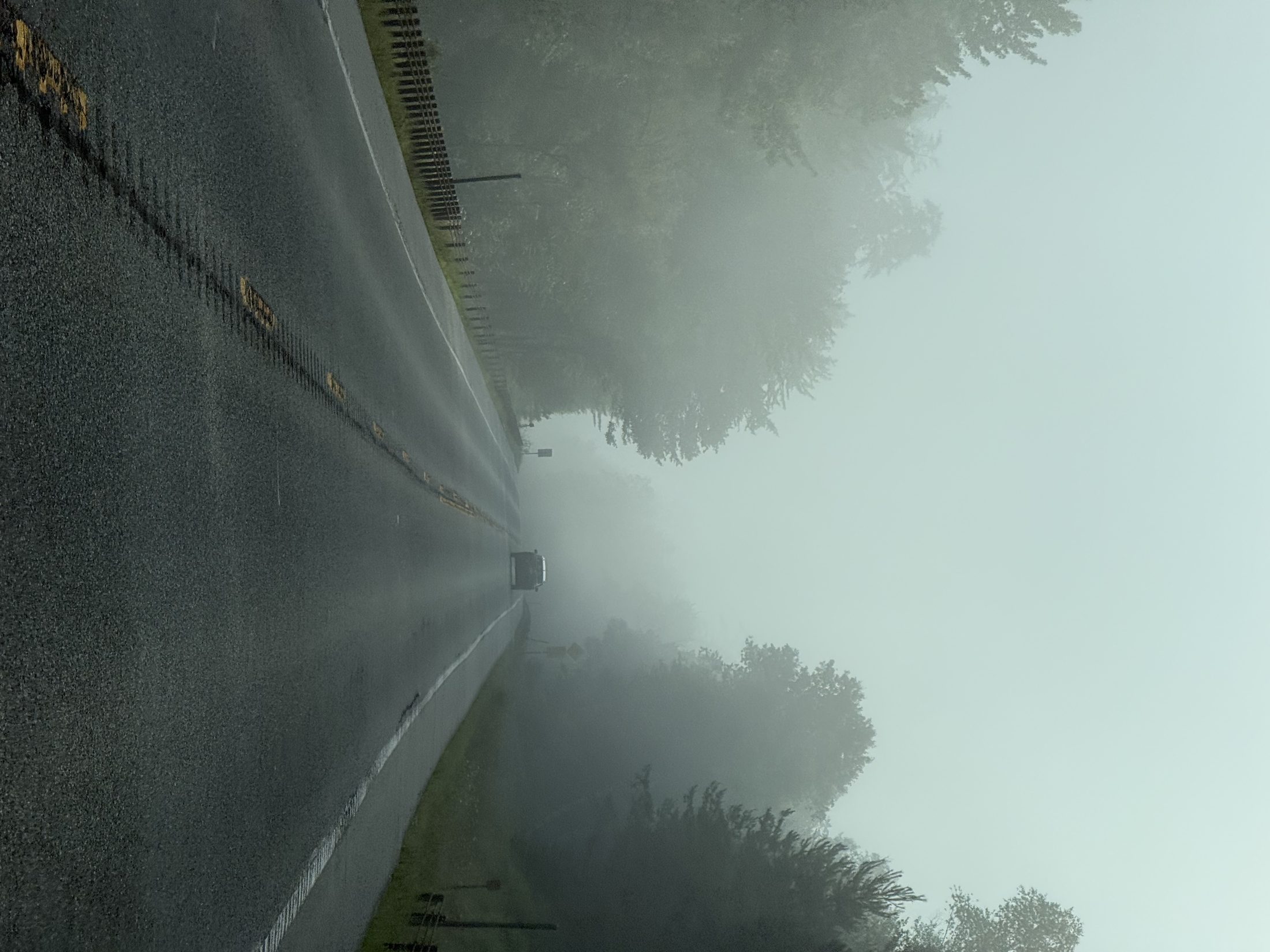
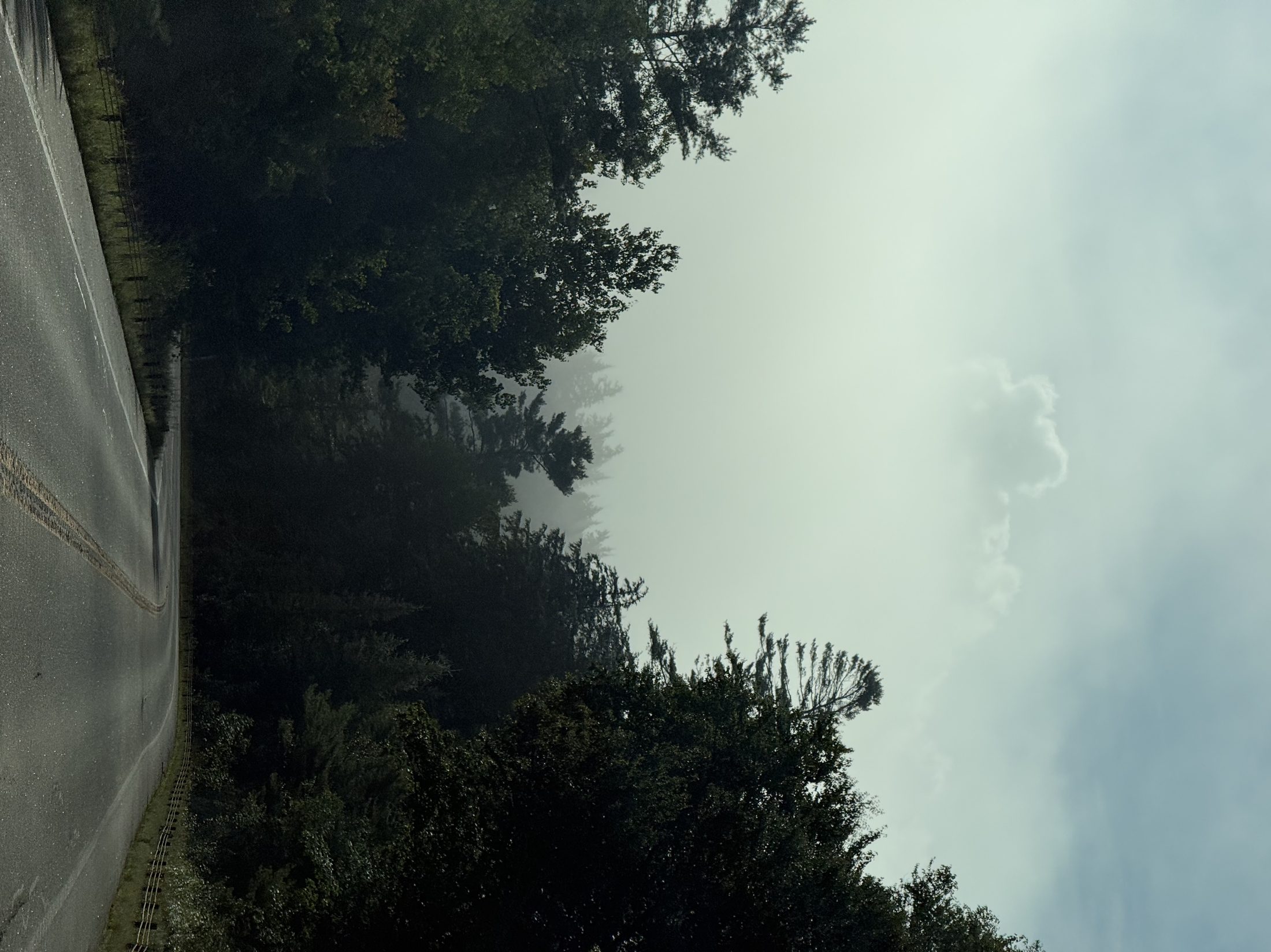
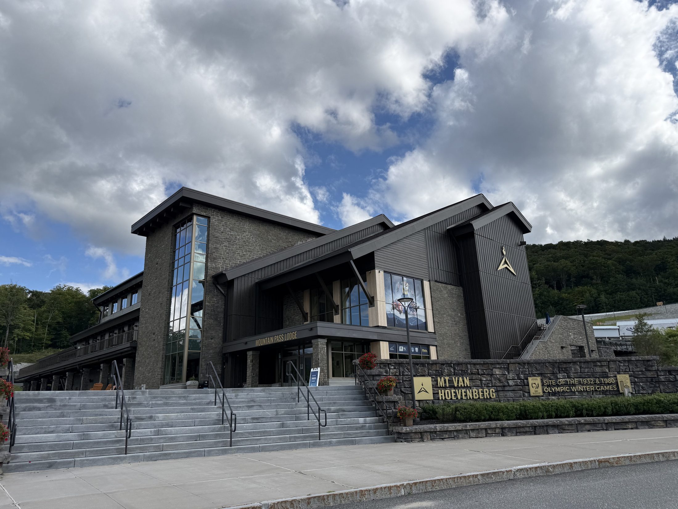
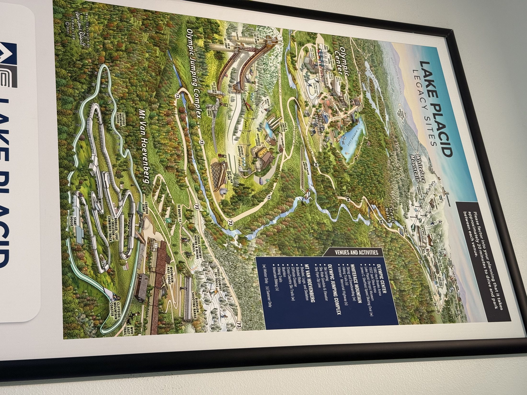
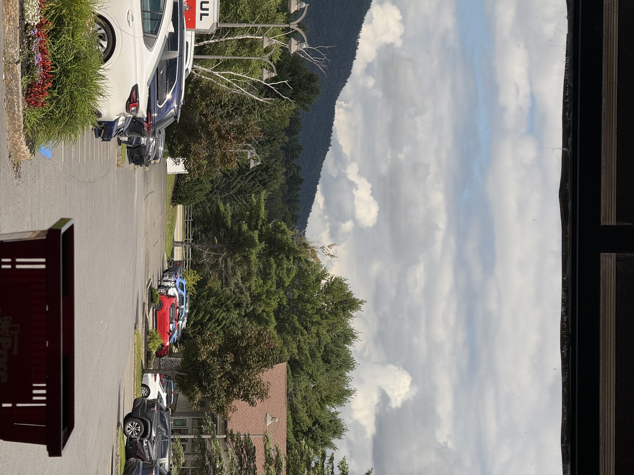
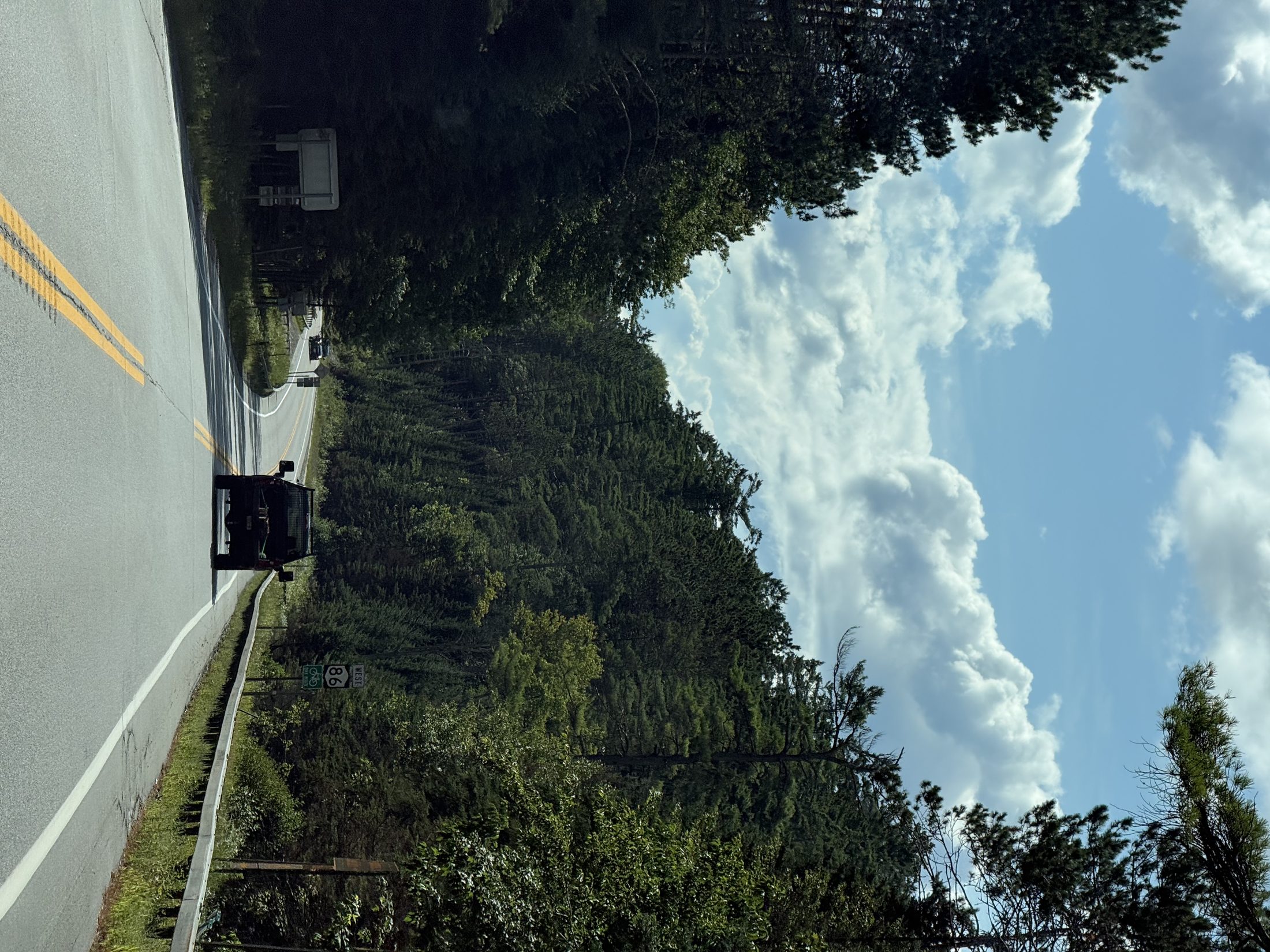
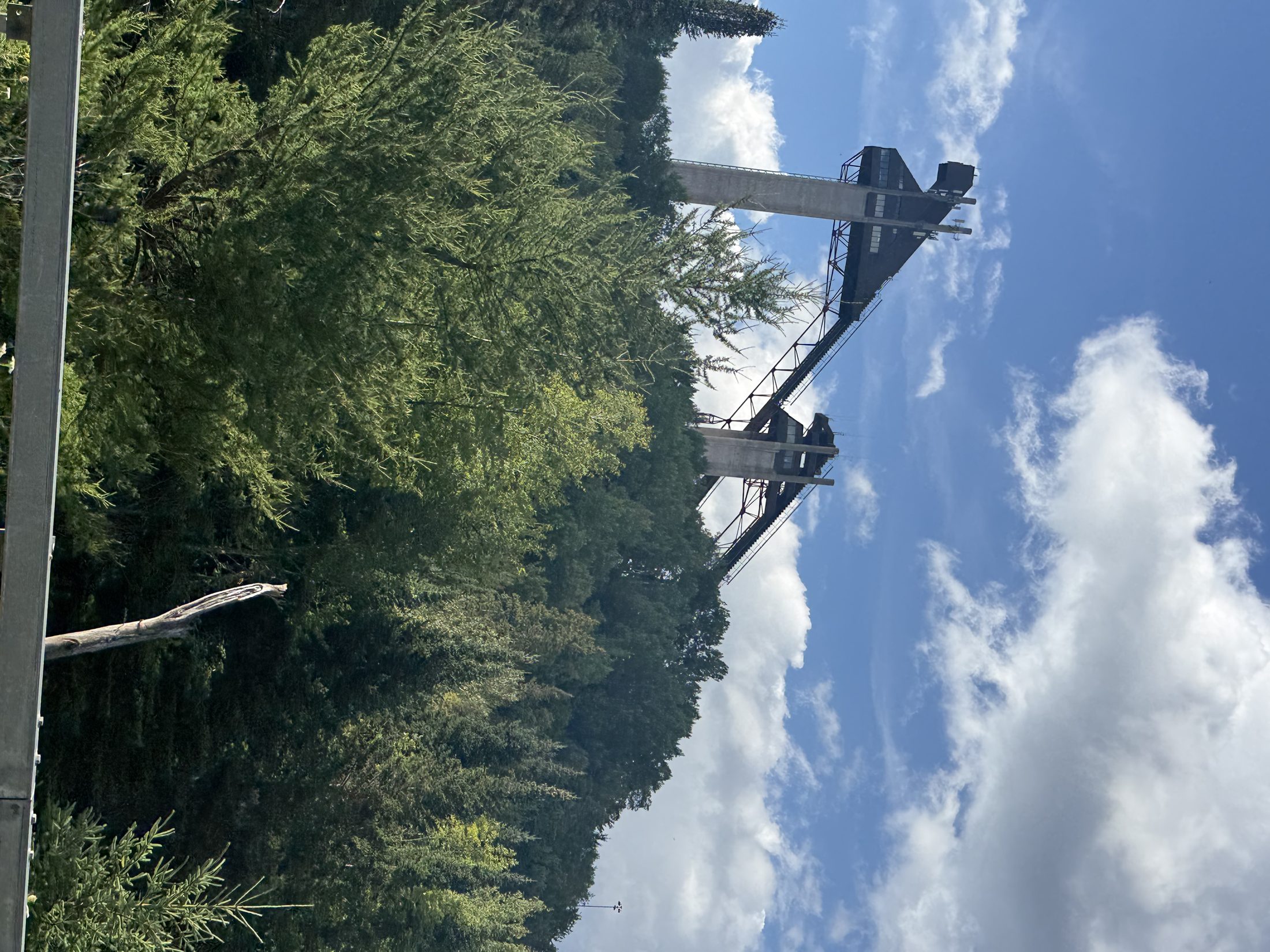
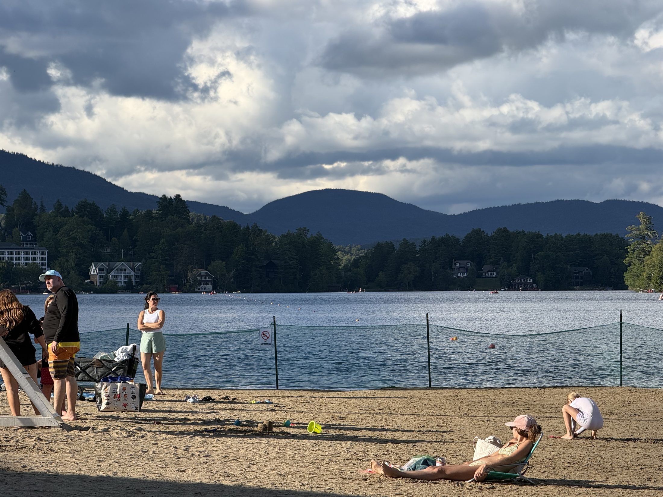
清晨的营位:雾把对岸收走了,船在松树下等下一班通勤路上:太阳开始拆雾,一根一根拆白墙路段卡车从雾里浮出来雾墙悬在路口Mt Van Hoevenberg:石墙上写着"1932 & 1980 冬奥会场地"——离办公室 12 分钟的奥运村遗产地图:跳台、雪橇道、过山车、滑索、缆车——全在下班半径里办公室门口的风景:Price Chopper 广场外就是山和云——通勤终点长这样Rt 86:去 Lake Placid 的路120 米跳台从松林后探出头——奥运村的第一眼Mirror Lake 公共泳滩:沙、湖、High Peaks 的云影——小镇的客厅
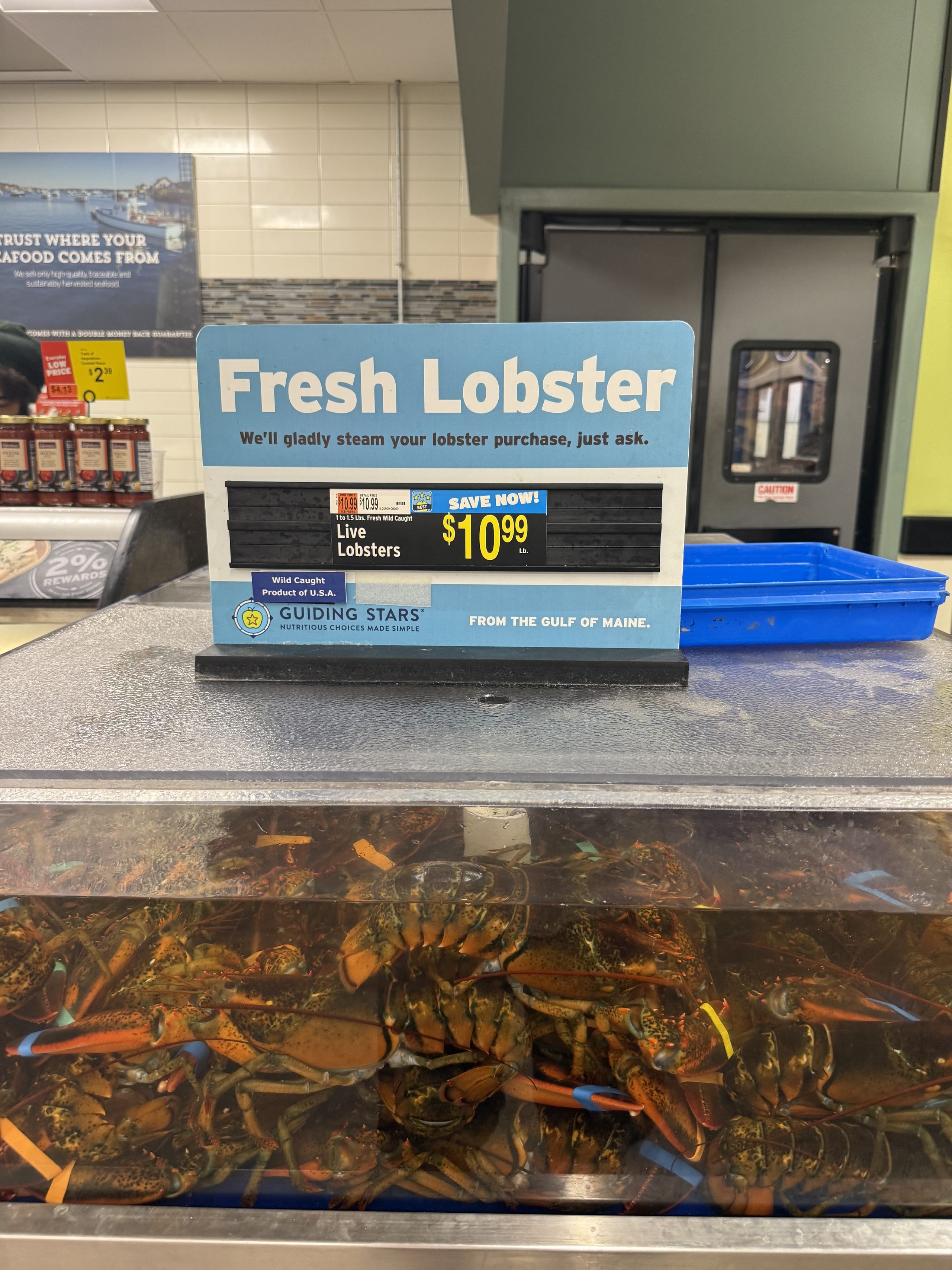
新营地一块开阔草地把 Starlink 顶到近乎满分——罗盘规则第三次主场胜利。这一周去的地方少:一个项目在建(网站的整套媒体基础设施就是这周搬进云的),但吃得空前地好——超市水缸的缅因龙虾遇上 Hong Kong Market 背回来的火锅底料,一周吃了三次。驼鹿依旧一头没有;找驼鹿失败的副产品,是全周最好的一场日落。
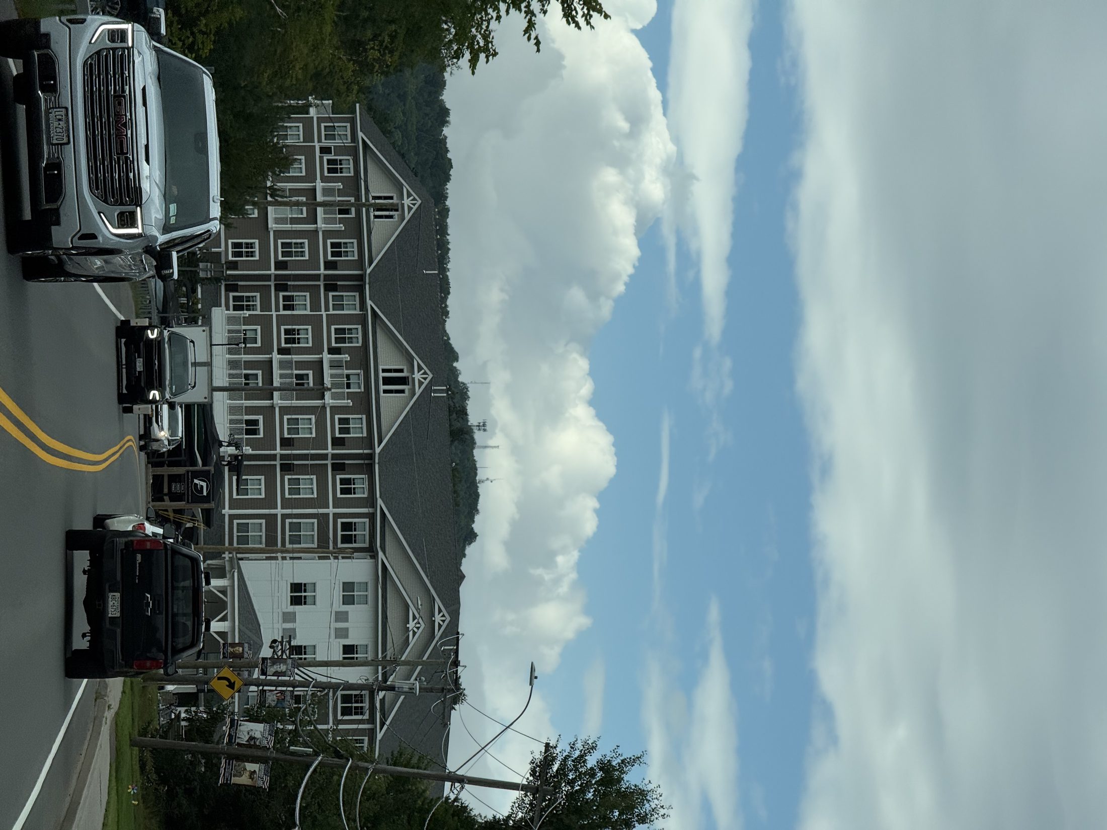
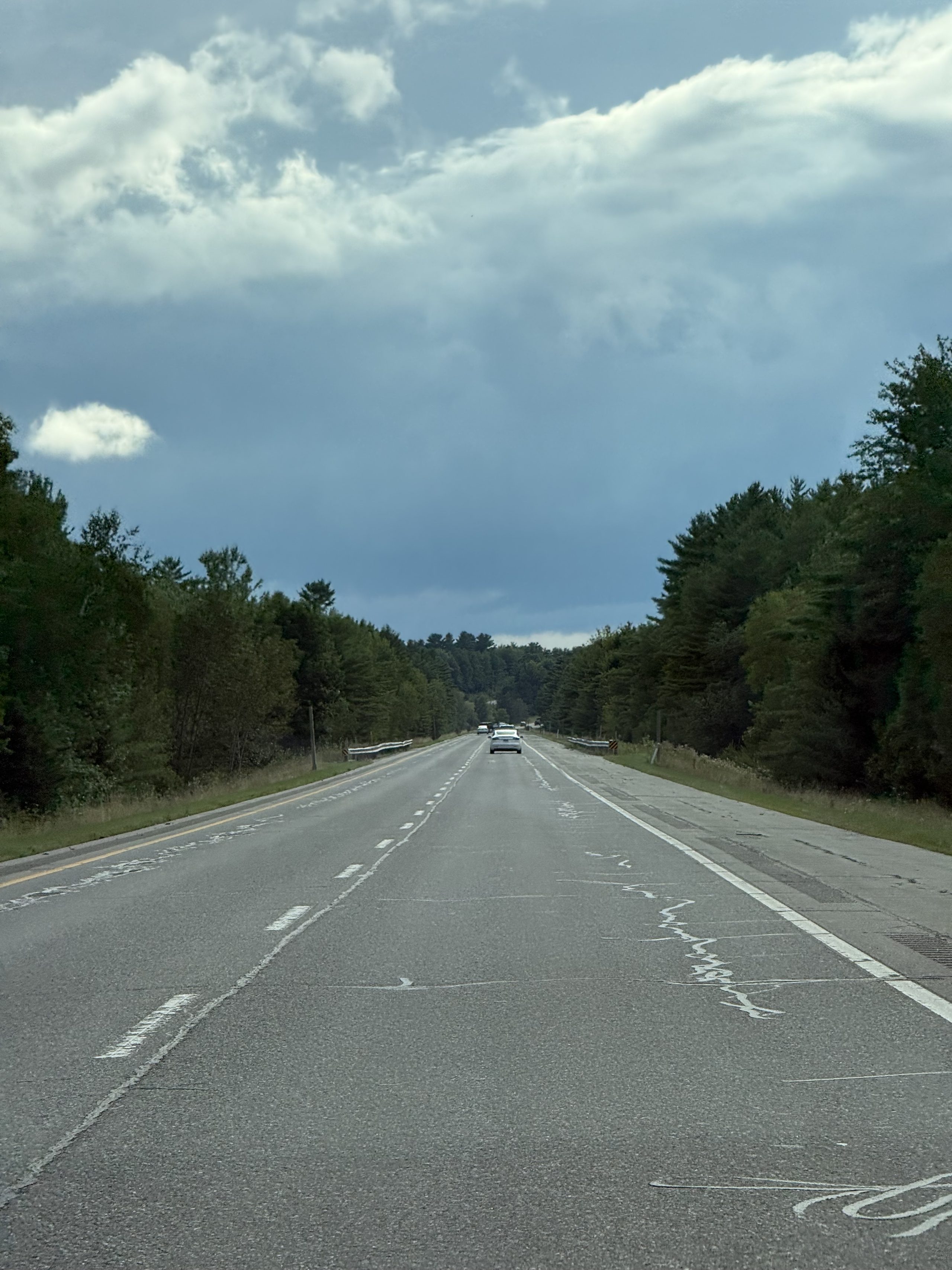
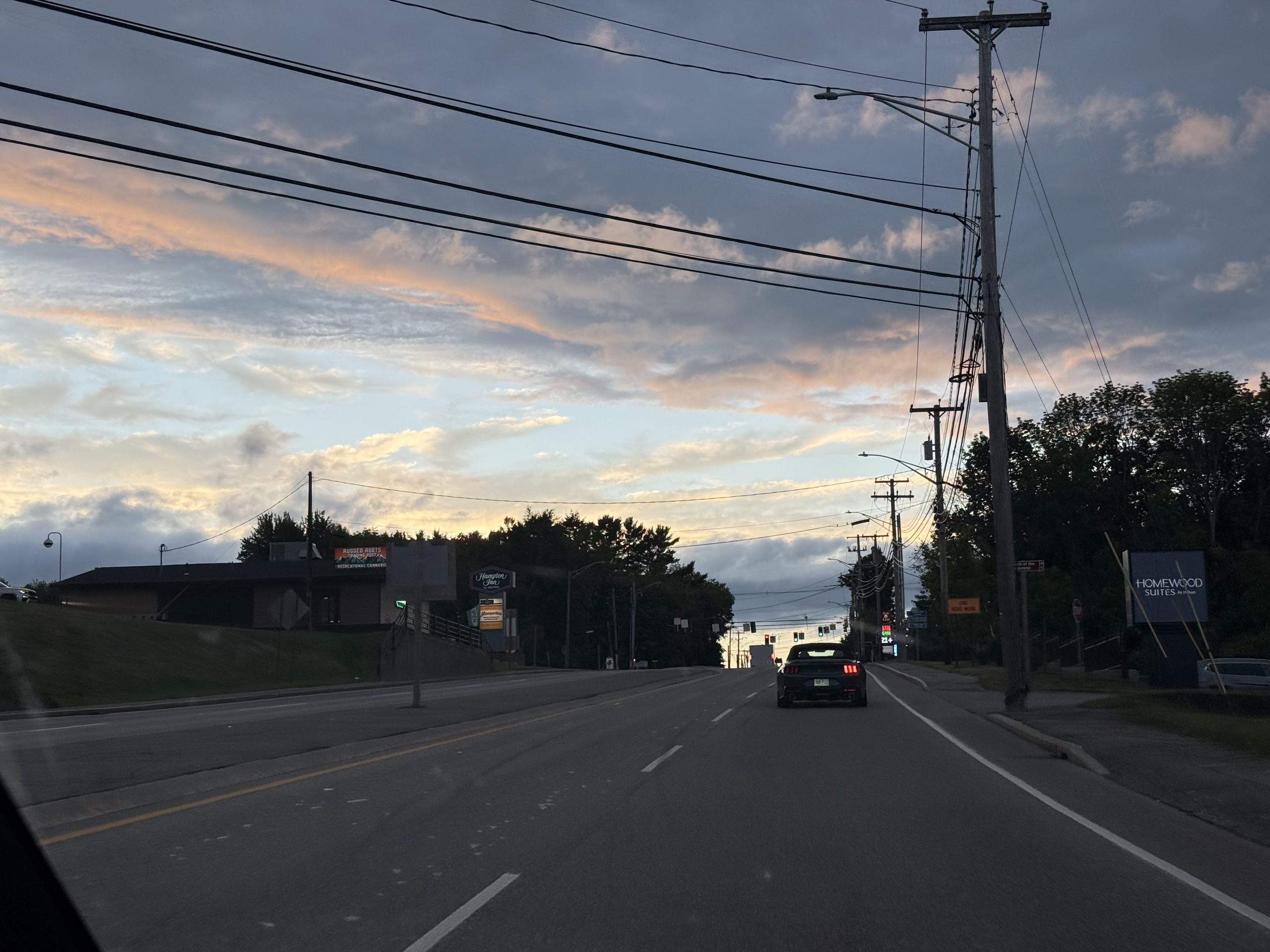
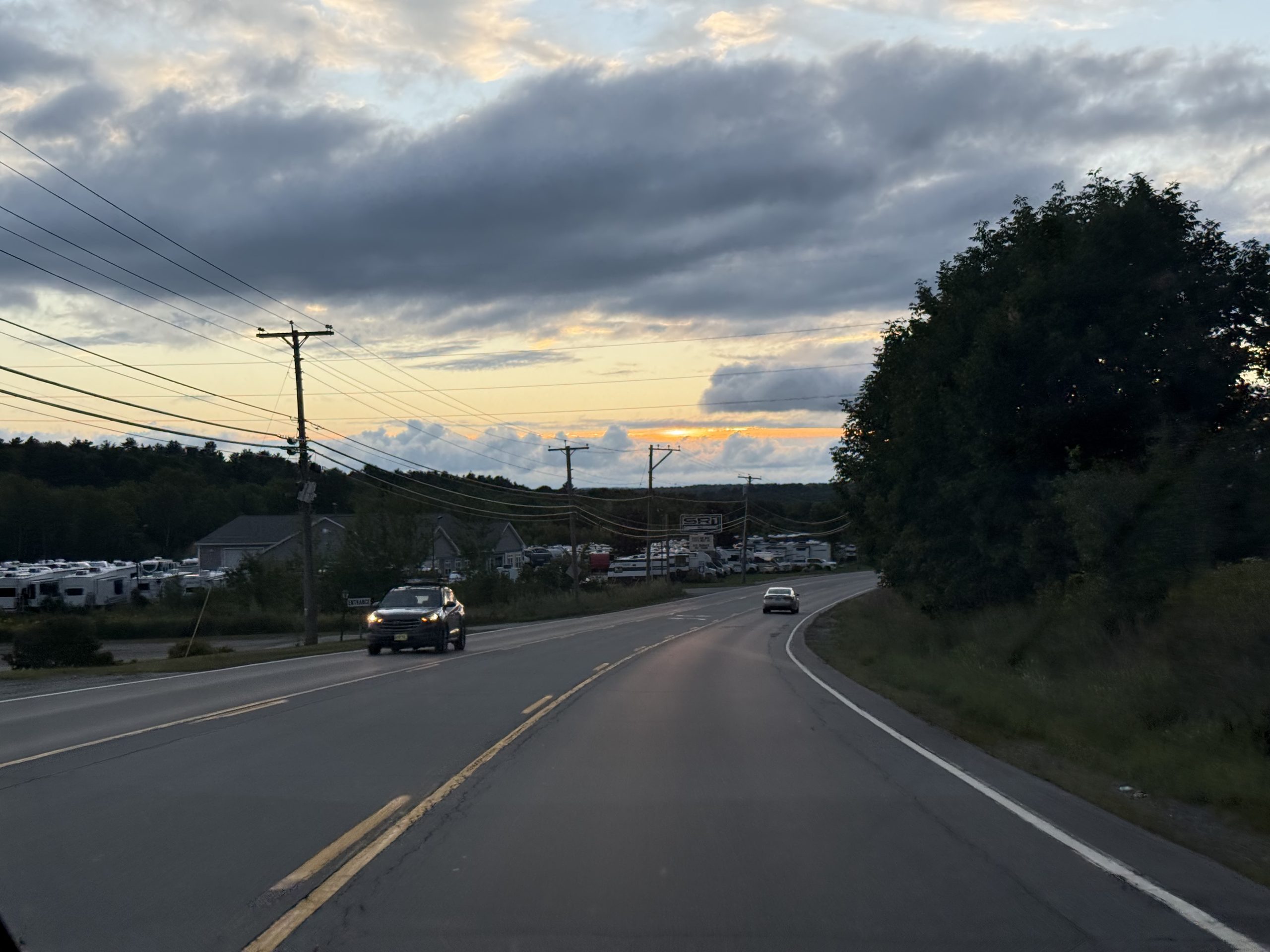
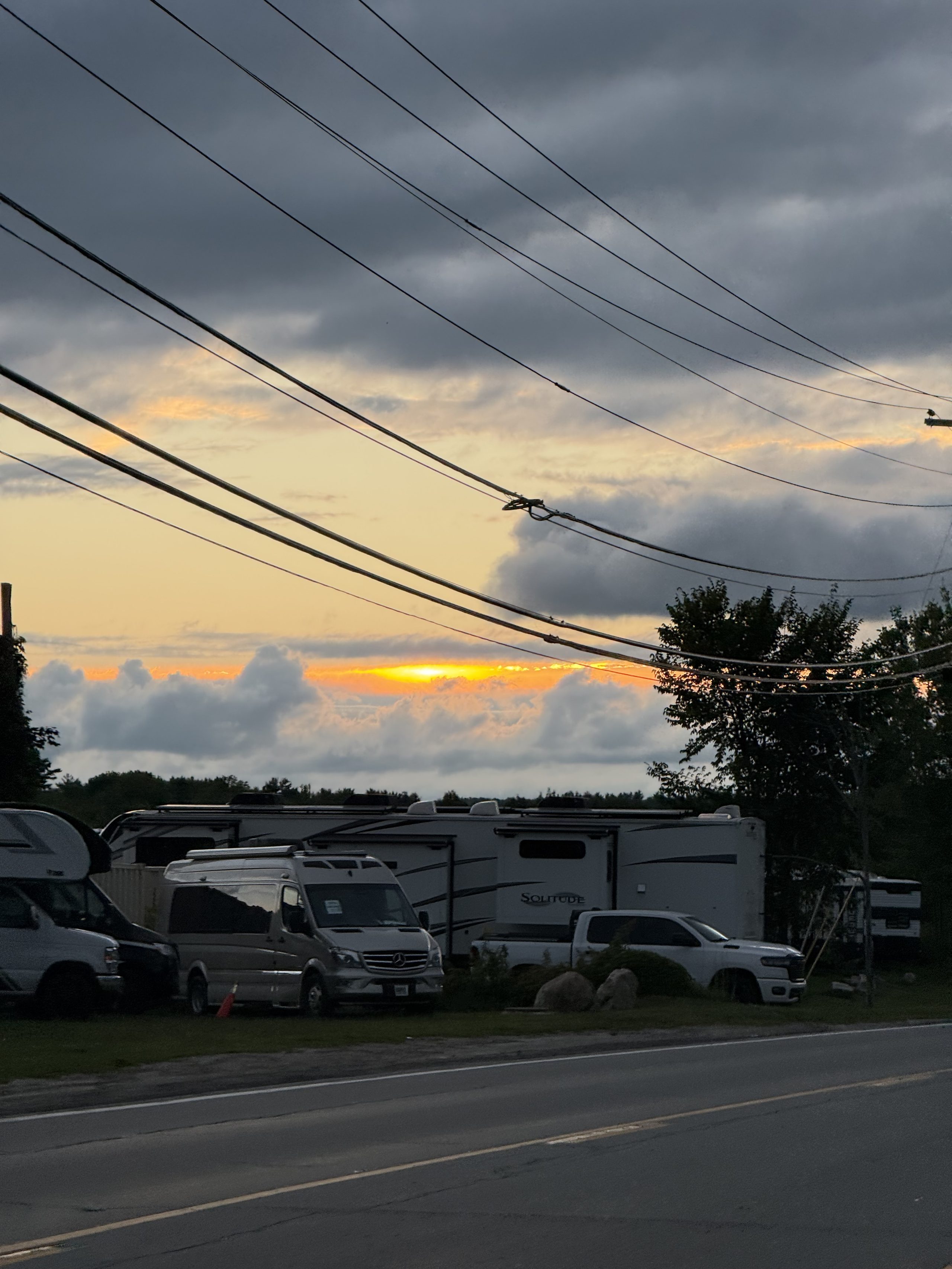
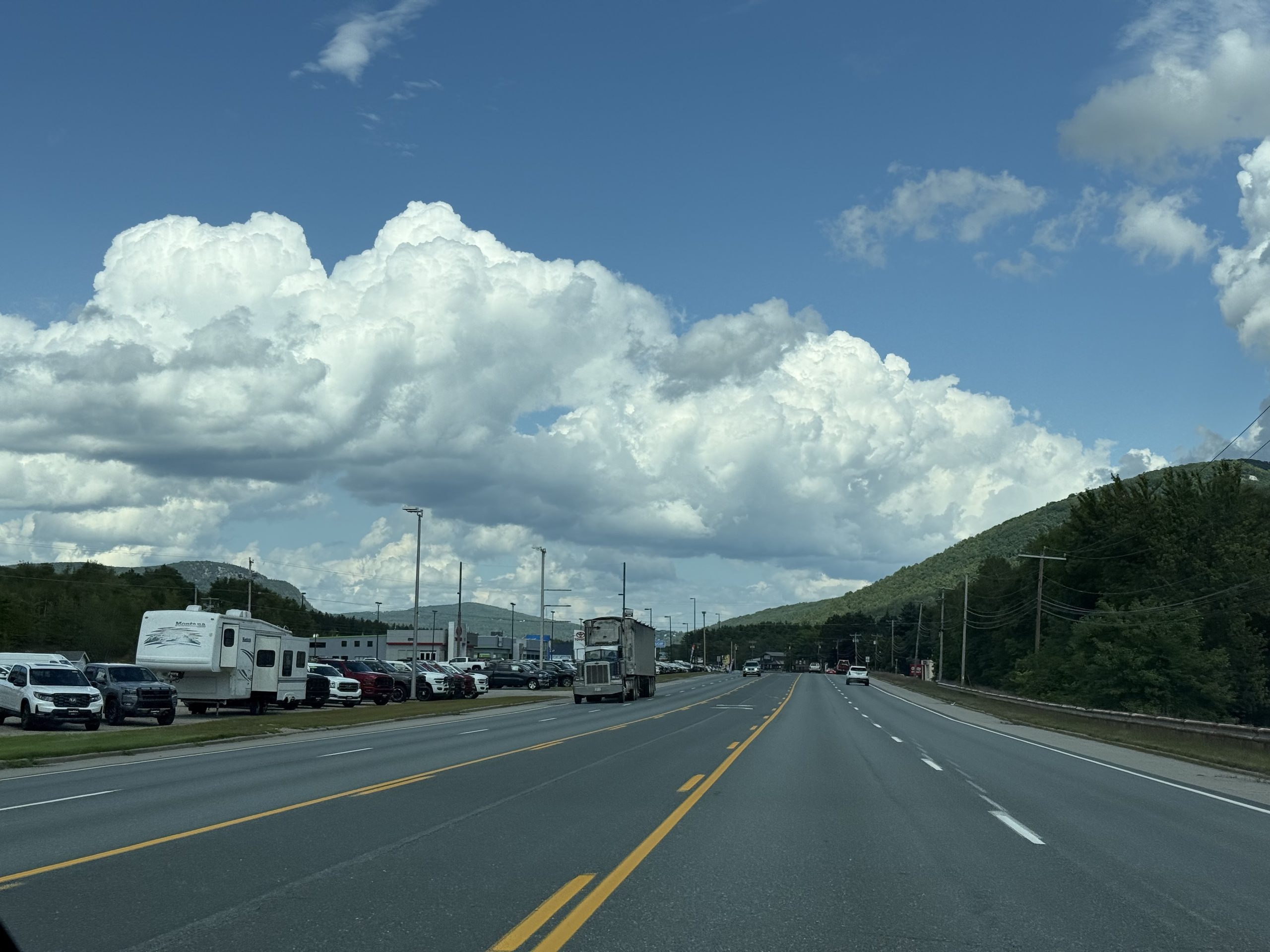
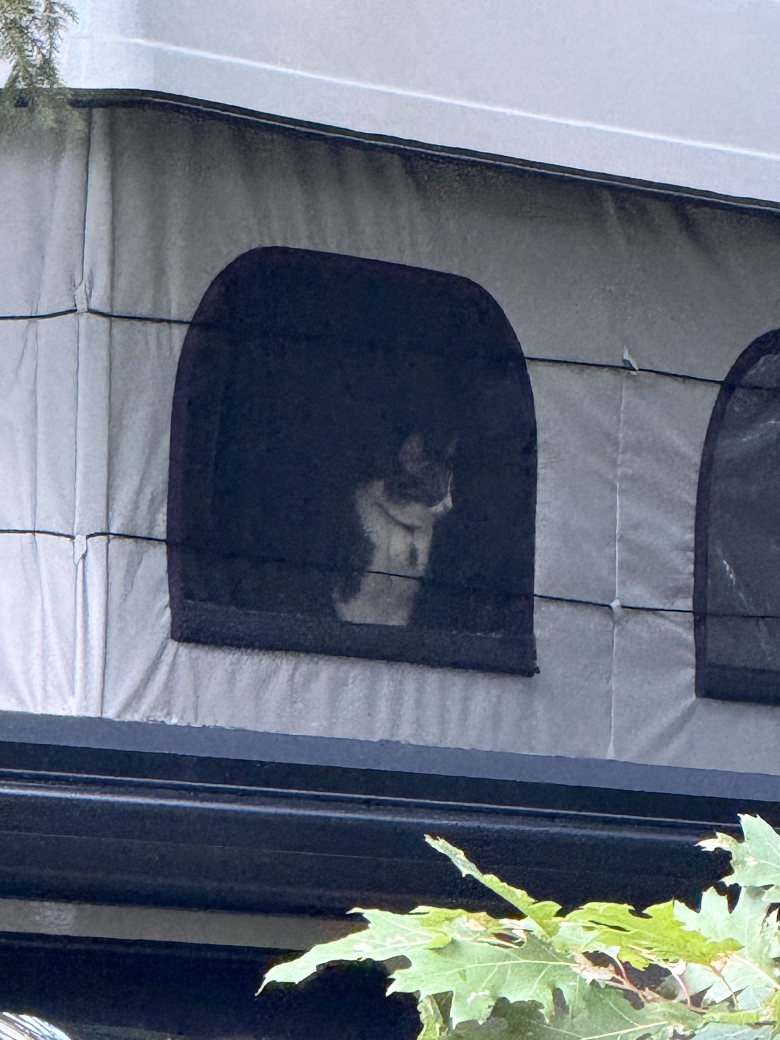
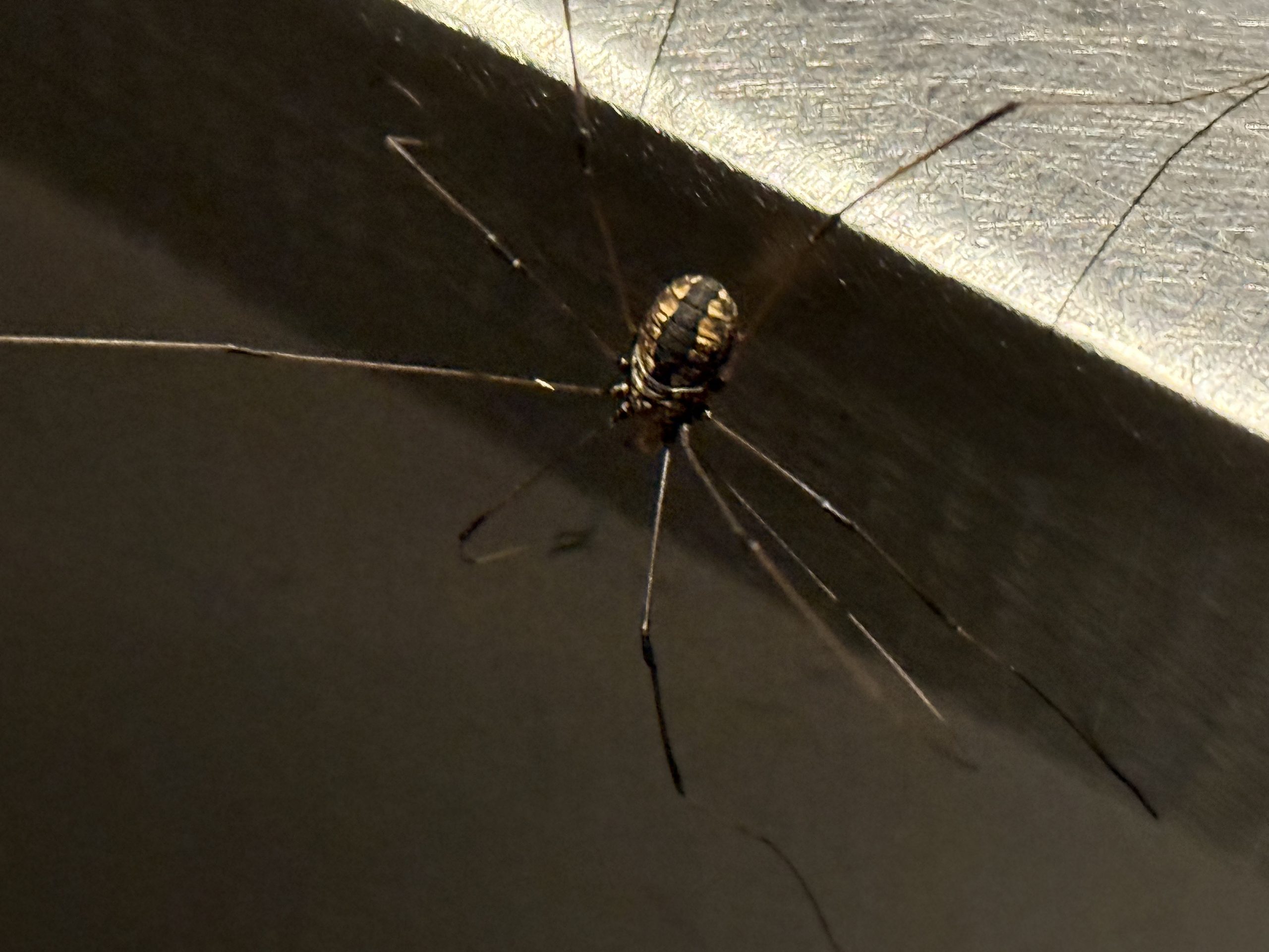
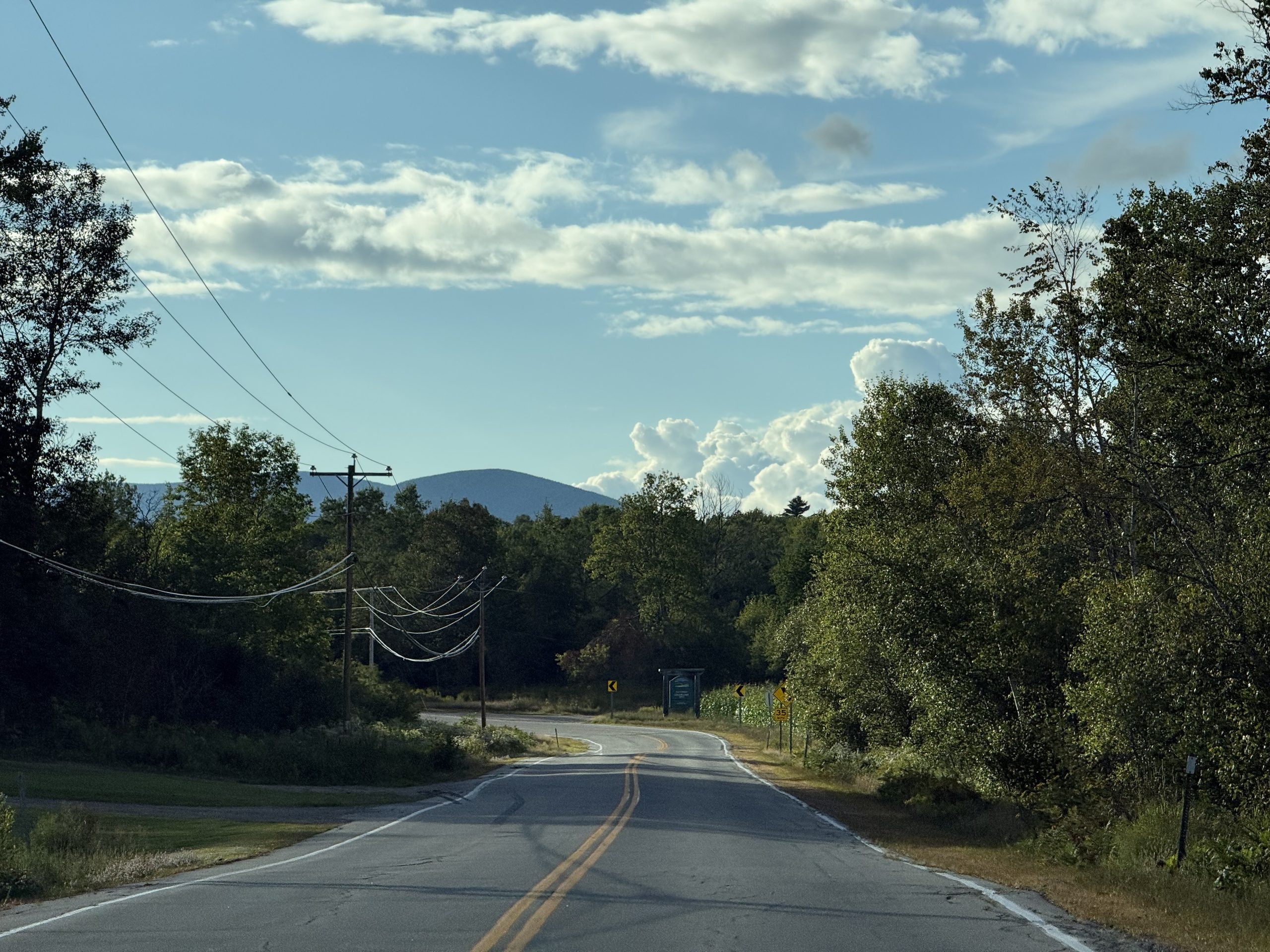
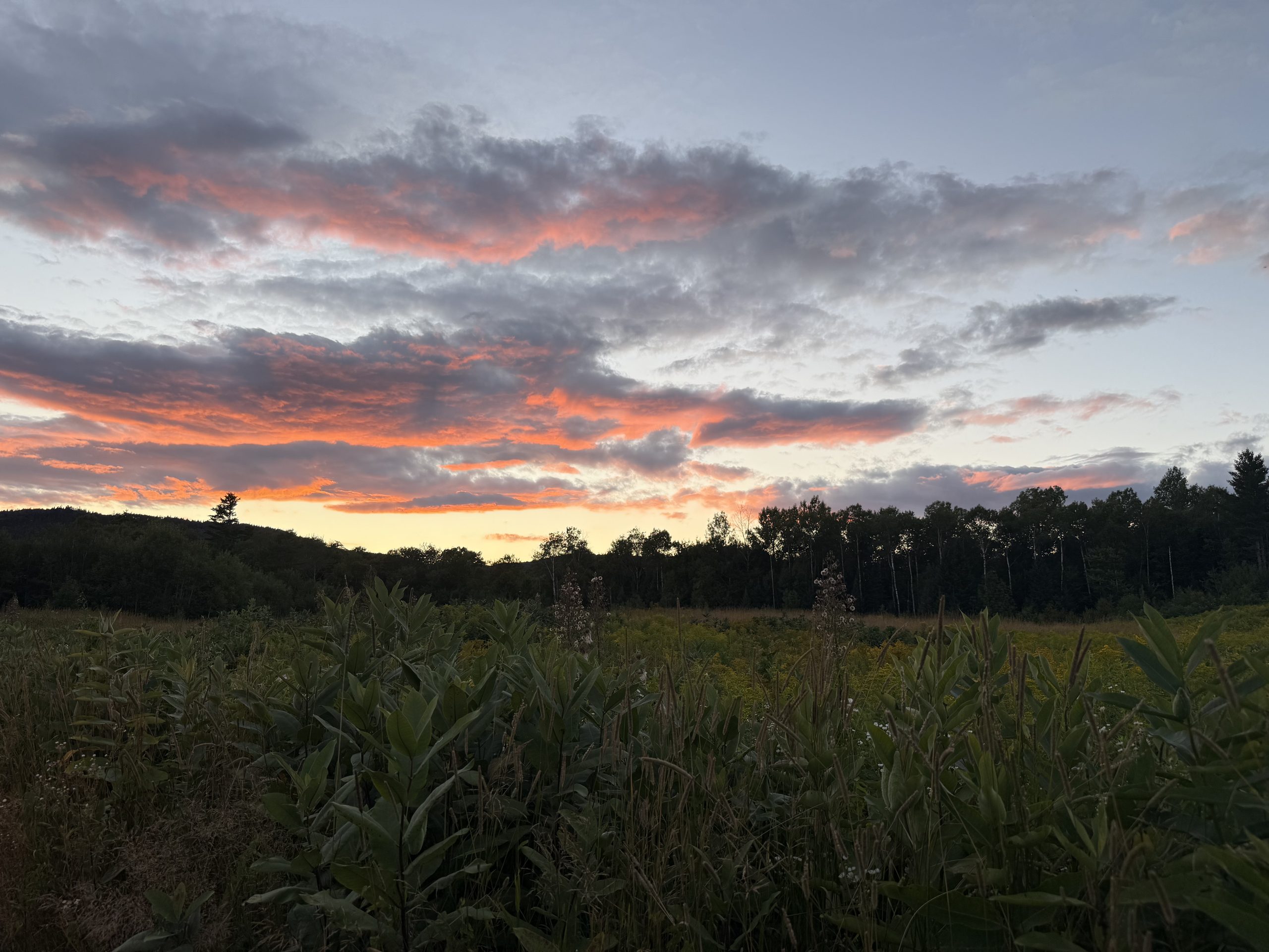
离开 Acadia 往西,云压得比路还低——缅因这一周的天气就是这个调子。超市水缸里的活龙虾,便宜得不像话,缅因湾直供,还免费帮你蒸。对照组:龙虾卷贵上好几倍,一只手就吃完。这块牌子直接改写了后面五天的菜单。天快黑时开进 Gorham:前面一辆 Mustang,天上一层橘粉。路边一整排待售房车,太阳正从云缝里漏下来——白山地区的黄昏总是先给一层金边。太阳恰好卡在两层云中间烧了三分钟,然后就没了。停车拍它是对的。补给日的 Gorham 主路:巨大的积云停在山脊上,这是白山夏天的默认天气。隔壁房车纱窗后面坐着一只猫,从我们扎营那天起就每天盯着这边看。华盛顿山当晚 22:27,一只盲蛛爬上小黑车门——就是 Fun Fact #3 的主角本人。查资料、写文章、然后正主上门检查稿件,旅行的因果闭环。就是这块草地救了这一周:北向天空全开,Starlink ping 成功率接近 100%。罗盘规则第三次主场胜利。把缅因龙虾扔进 Hong Kong Market 买的火锅底料里——两种完全不相干的伟大传统,在一个营地锅里第一次见面。结论:成立。锅里同时有:龙虾尾、白菜、玉米、午餐肉。Walmart 的龙虾尾成对卖——一对还没一个龙虾卷贵,而这一锅够两个人吃饱。这一周吃了三次龙虾。傍晚往北开:路空、光斜、限速 35——教科书式的驼鹿时段。北方乡道的标准构图:电线杆、墓园、远处一座圆顶山。又一个弯,又一座山。这条路开了很久,一头驼鹿都没有。驼鹿依旧零。但回程路边这片草场把整个天空烧成了橘色——本周最好的日落,是找驼鹿失败的副产品。
I · The state line, the lake, and an office in the forest
Out of JC on 8/16, north across the state line, home planted at Fish Creek Pond site 260 — the lake right behind the tent. The first two days were a sweet shakedown: scenery perfect, Starlink pinned down by the tree canopy, the commute redesigned three times. This chapter's real protagonist is the compass rule — the trip's most important operational discovery was born here.
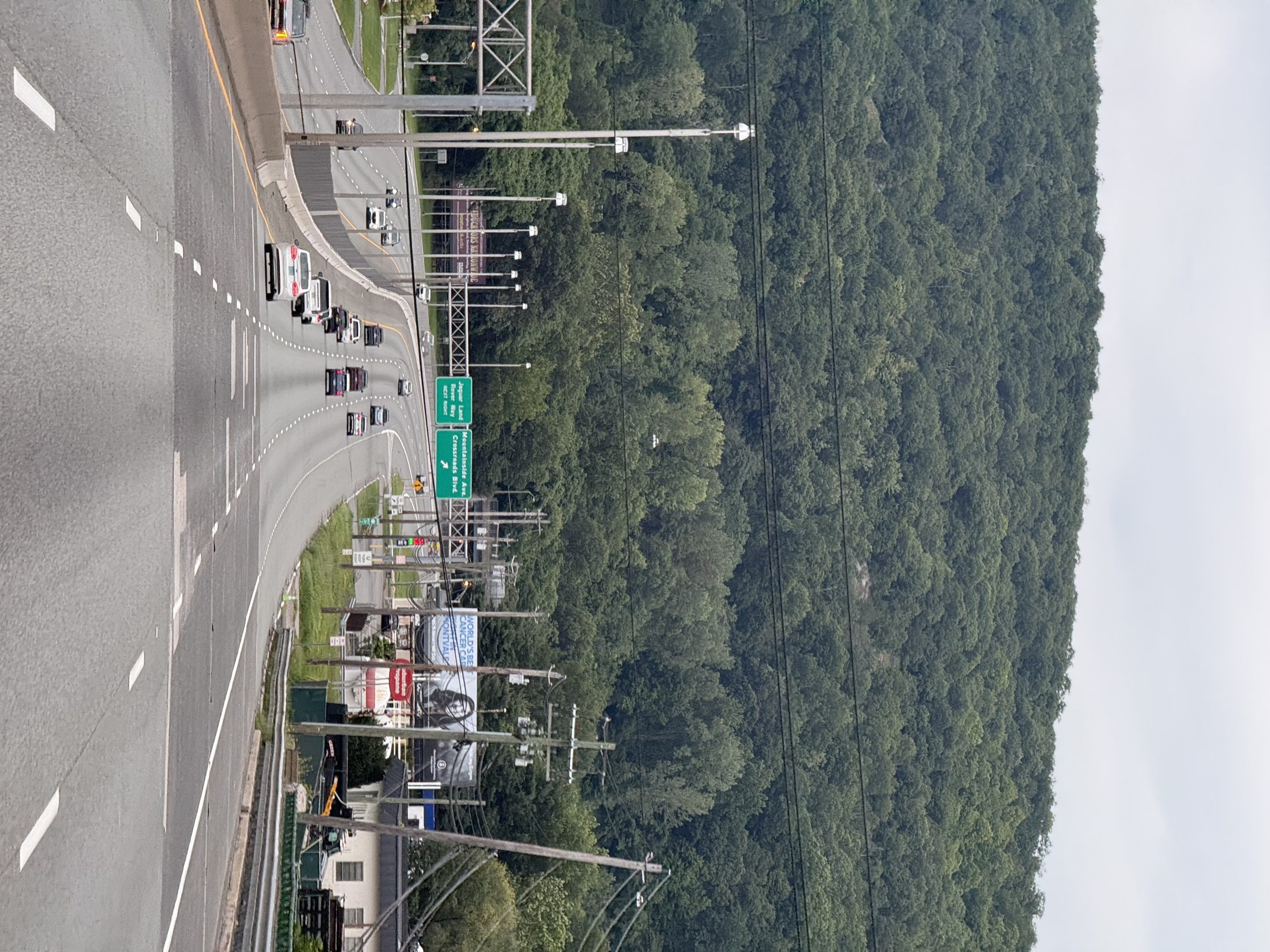
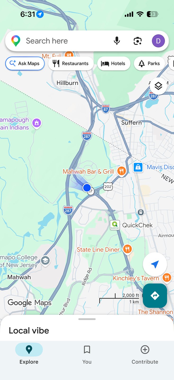
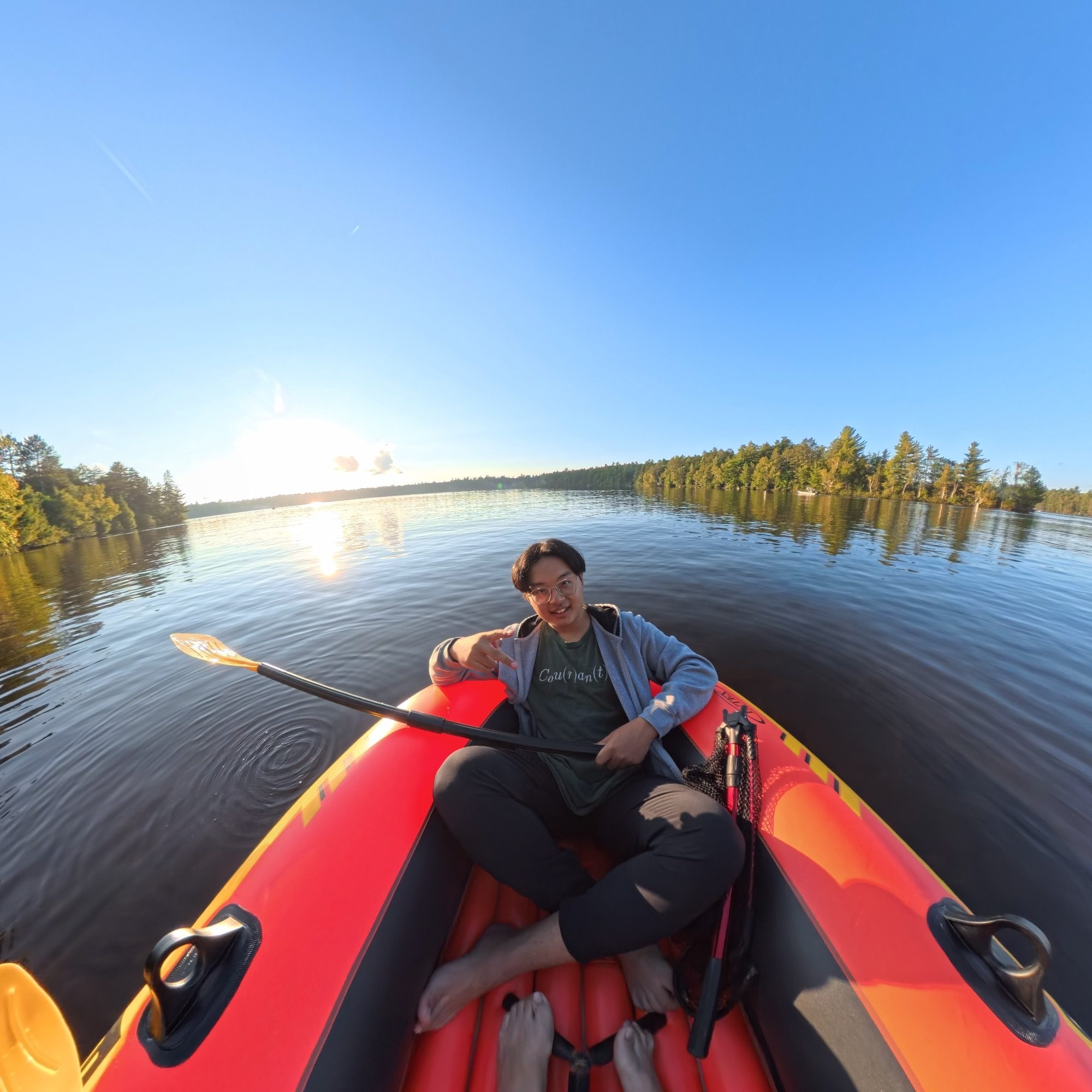
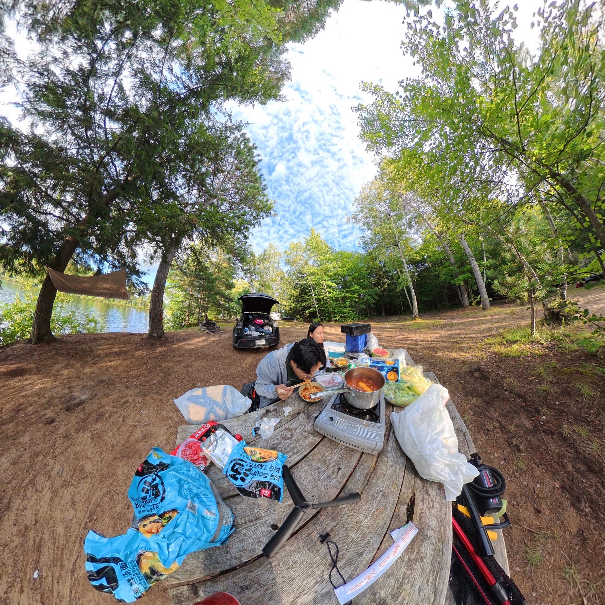
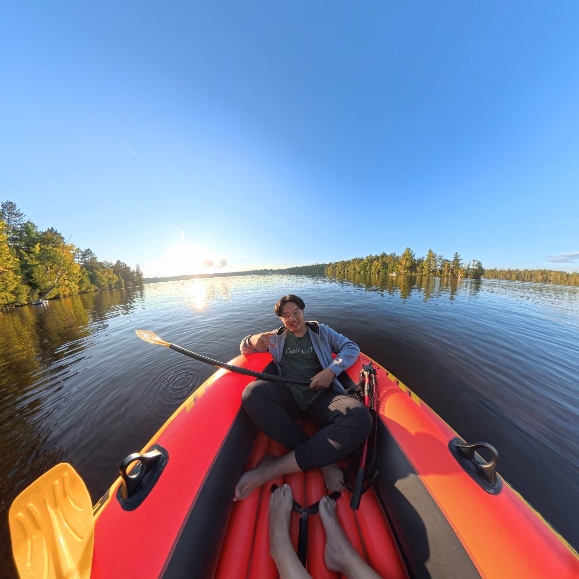
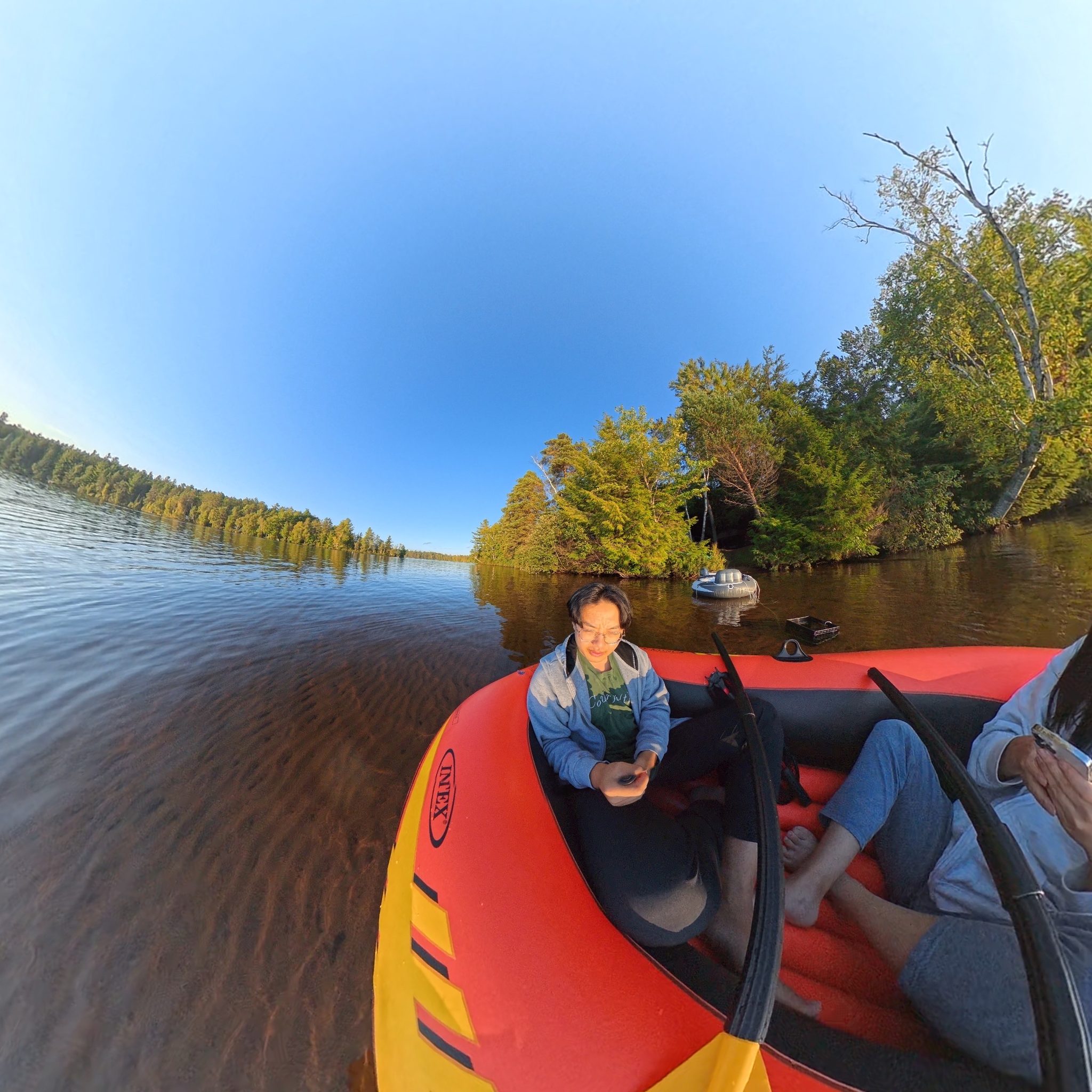
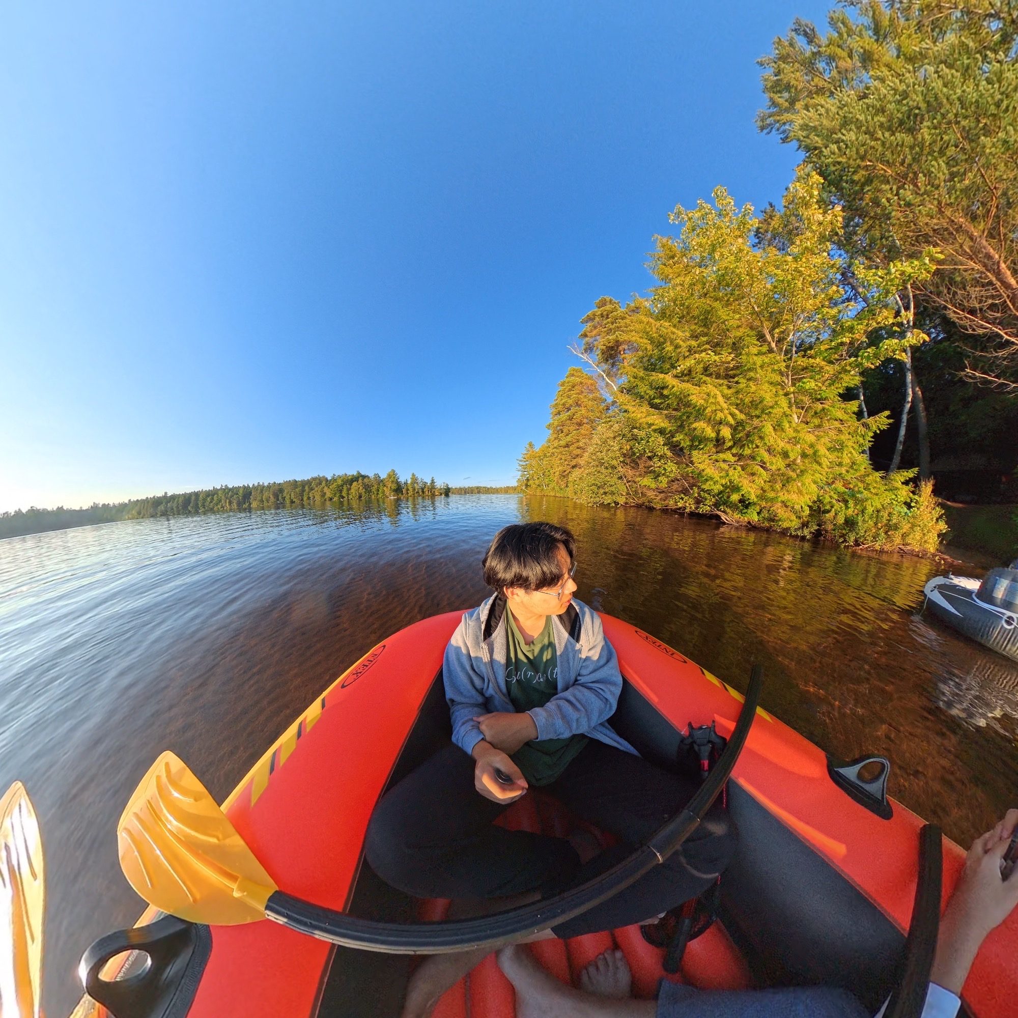
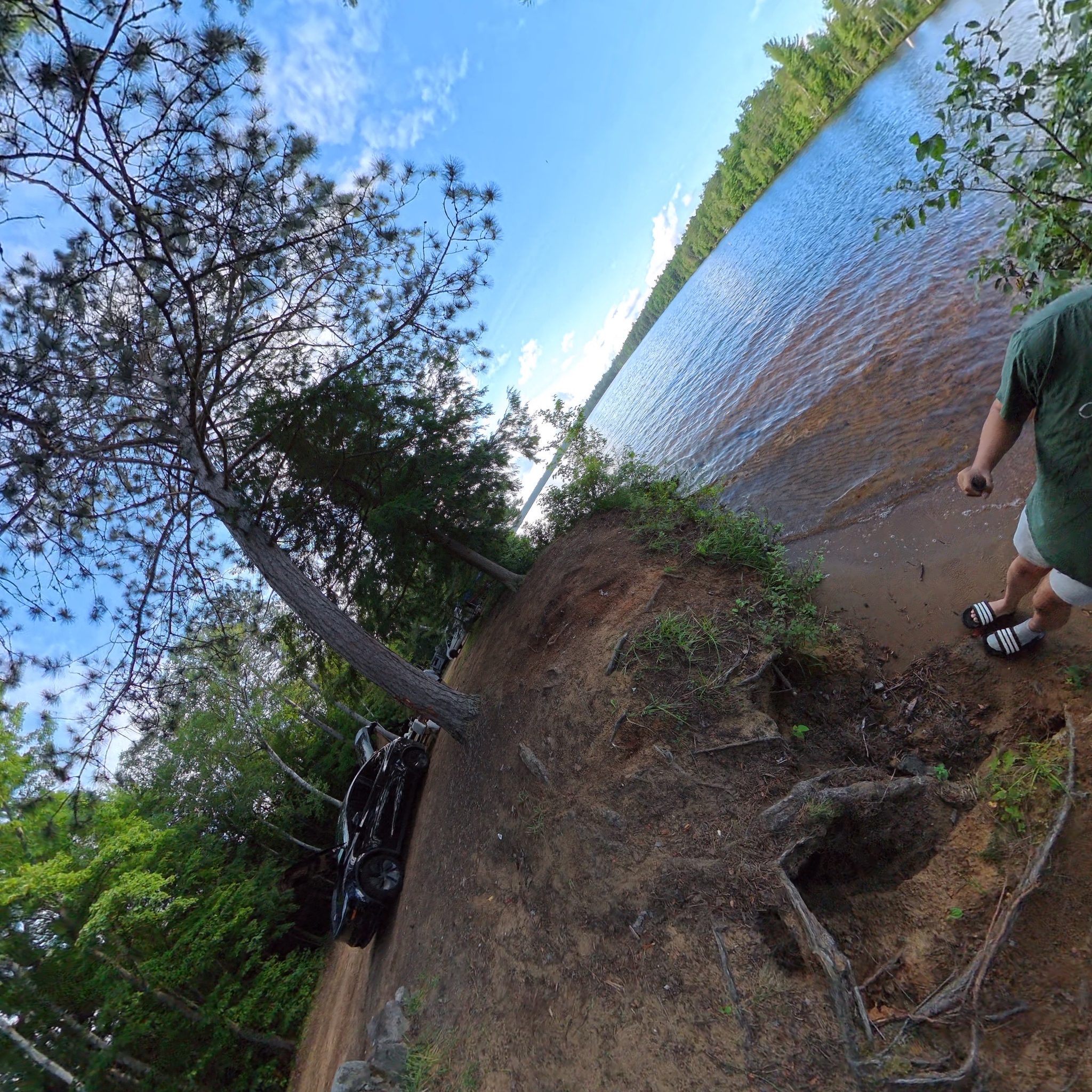
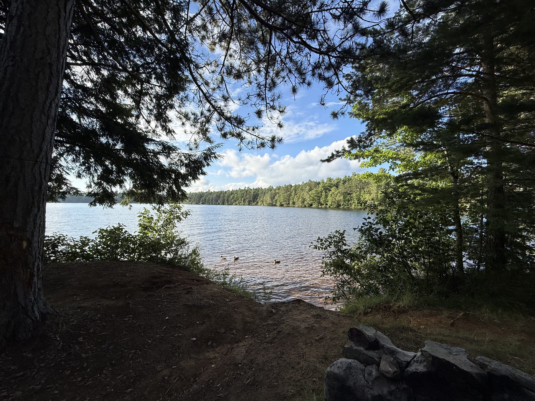
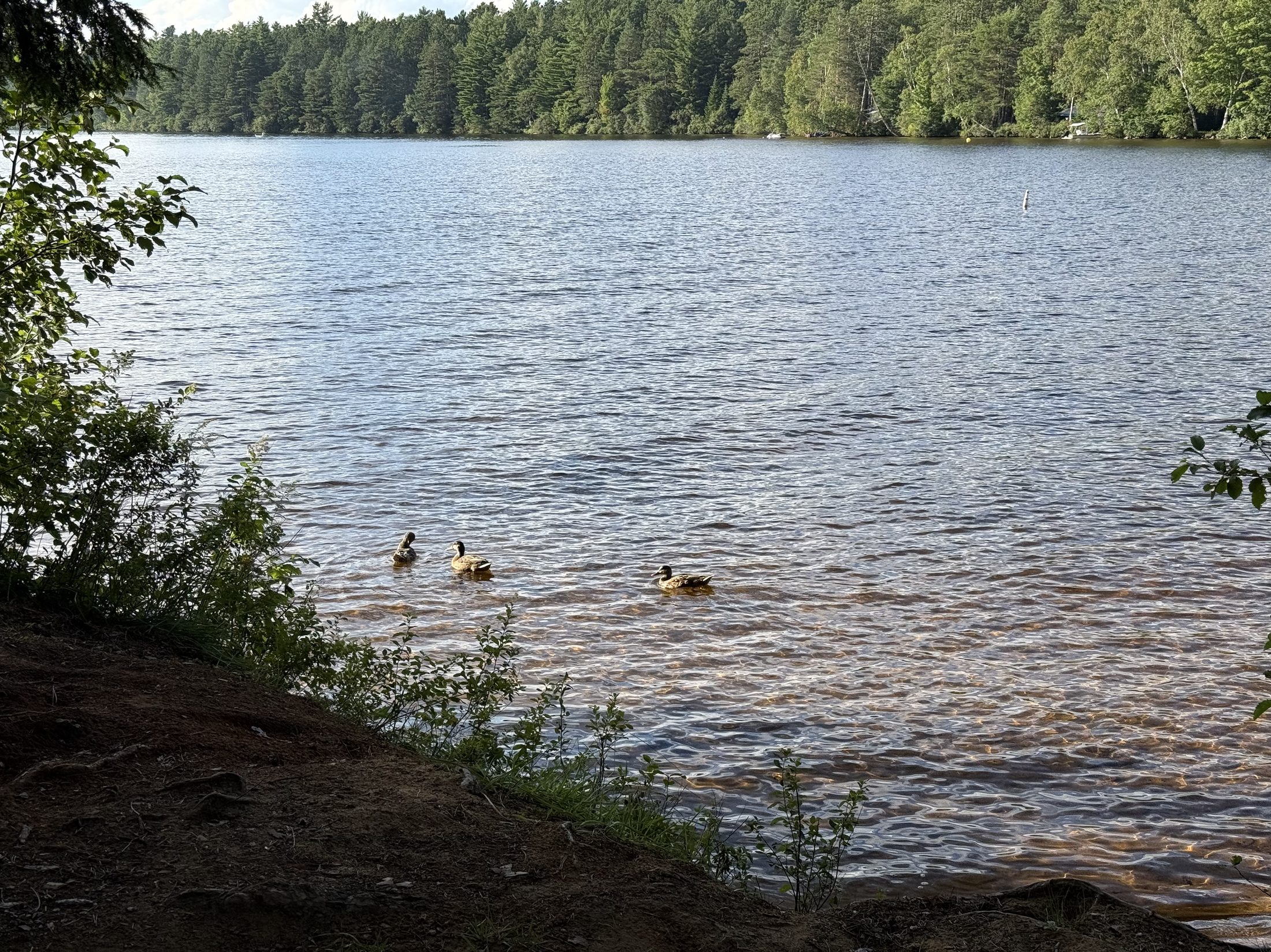
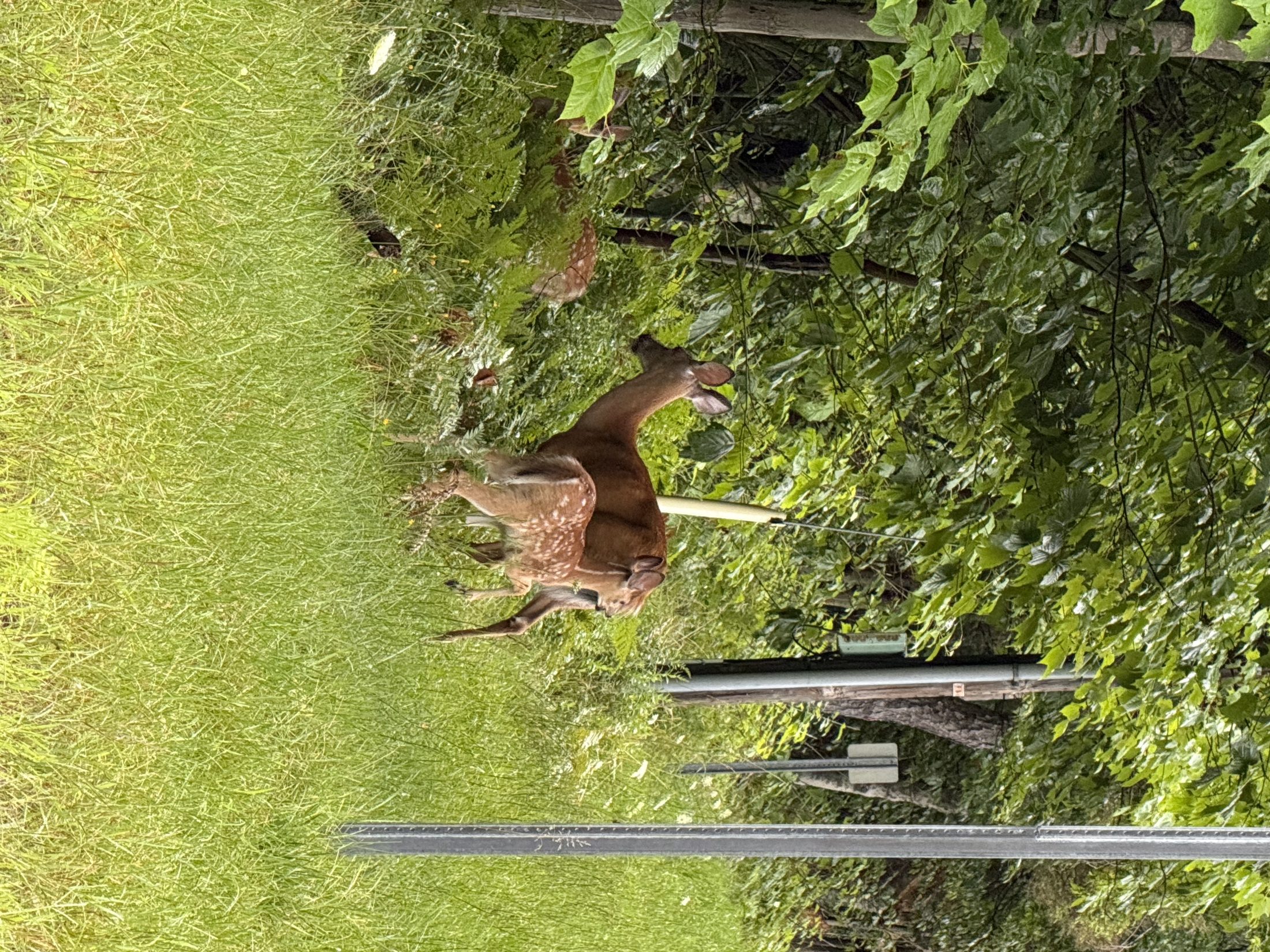
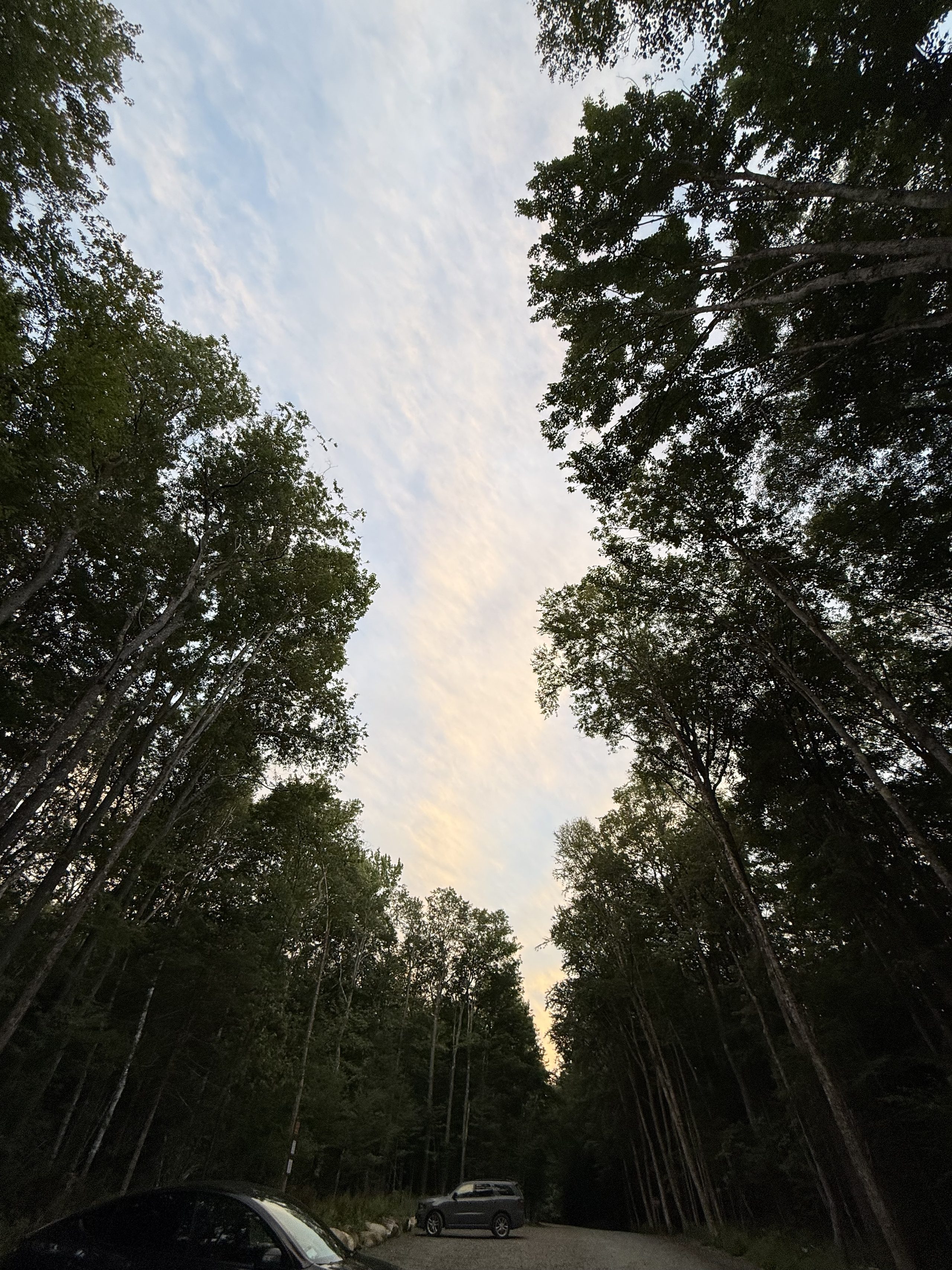
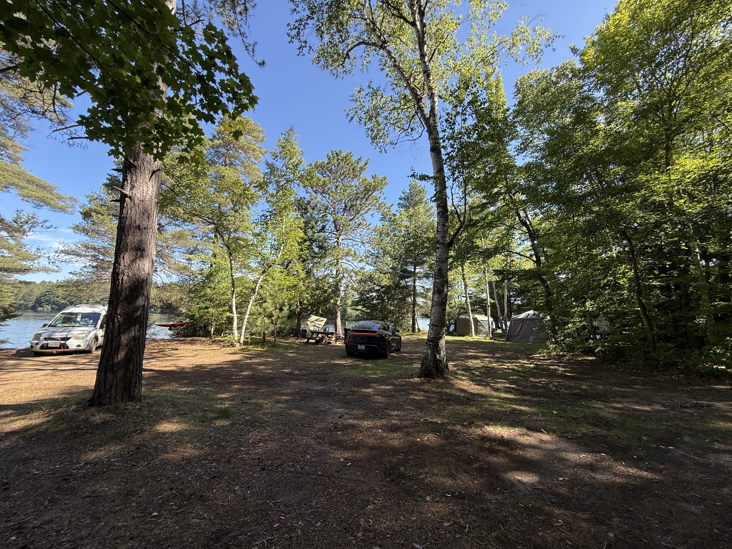
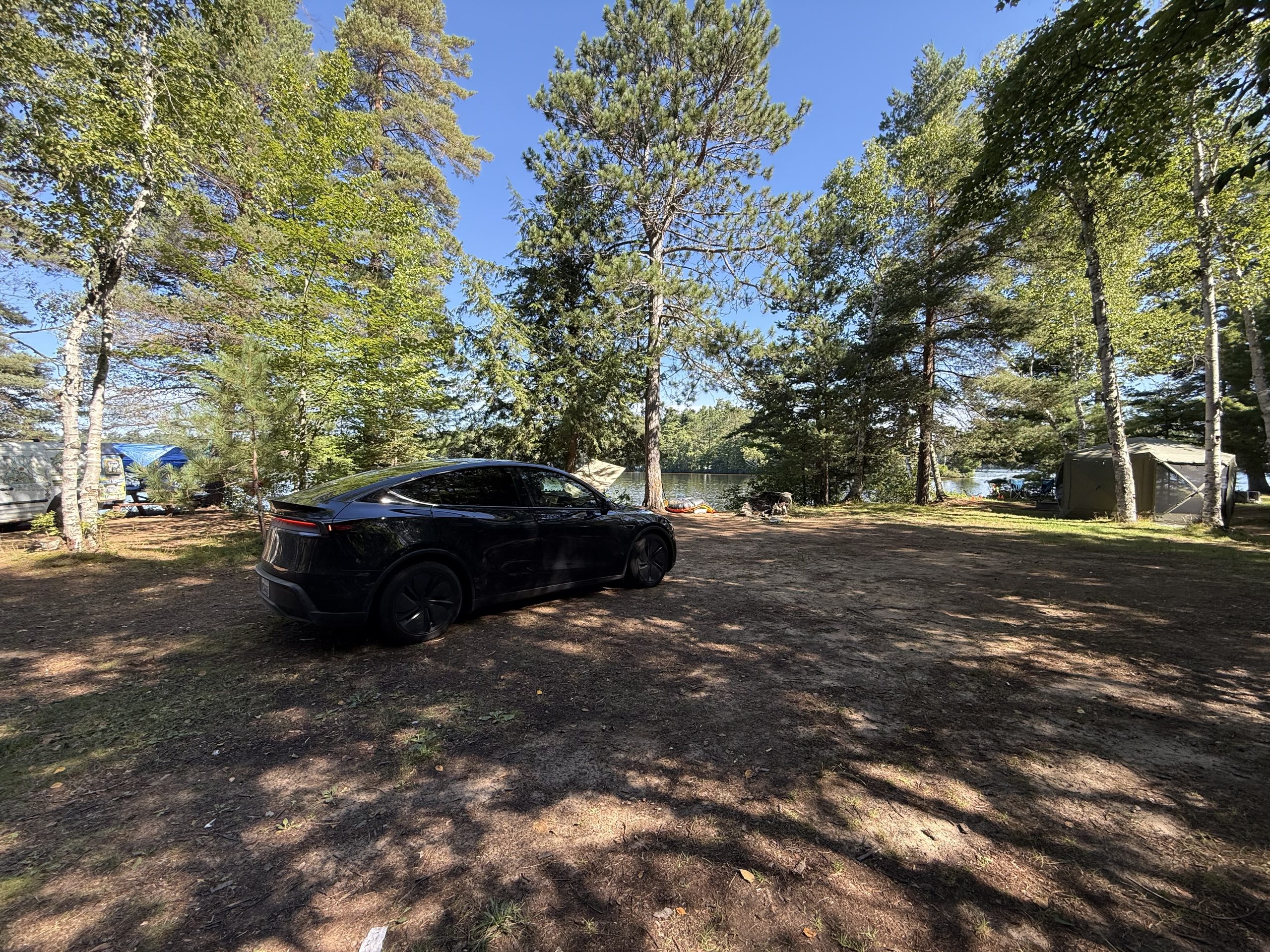
Route 17 north: the Ramapo green wall — the East's trees start at the state line18:31, Mahwah: the dashed line is the NJ/NY borderGolden hour on Square Pond: the Tahoe boat finally obeys — paddle in hand, sun on the water, Cassie's feet in frame. The shirt says Cou(r)an(t): the math institute has put to seaDinner, documented: the butane stove enters service — pot bubbling, noodles mid-slurp, watermelon waiting, trunk-kitchen open, tarp hung by the water. The "can we cook on the road?" question, asked back in California, finally gets its answer: this tableInto the sun: two pairs of feet in the bow — full crew accounted forTwo-person operations: one on camera, one on paddle (in theory)Golden-hour shoreline cruiseThe camp's little beach: a waterline walk, the car on standby behind the pinesThe lake ten steps from the tent: framed by pine boughs, ducks includedThe three resident neighbours at the doorstepRoadside: a doe and a fawn still in its spots — the kind you almost hit, and the kind you most hope to meetOver Lake Placid: after a damp grey day, the sun came out and the clouds started performingThe commute: a forty-minute corridor of pinesA whole blue mountain standing at the end of the road
🌐 Live 360: the Mirror Lake swim dock — drag to look around · tap 🧭 on phones · all panoramas →
🌐 Live 360: dusk at camp — turn a full circle at the fire ring · tap 🧭 on phones · all panoramas →
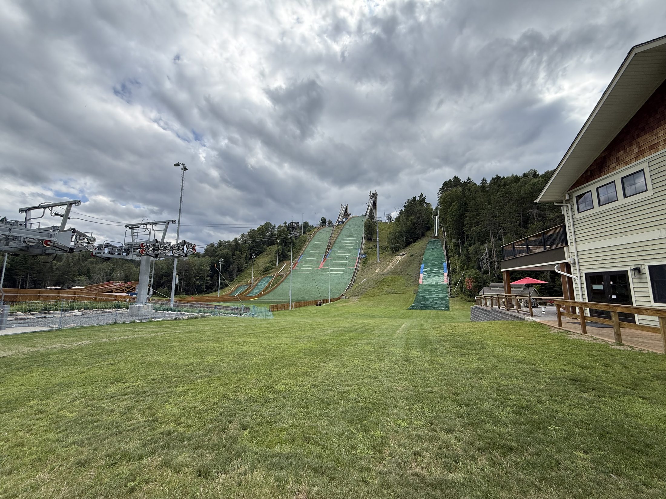
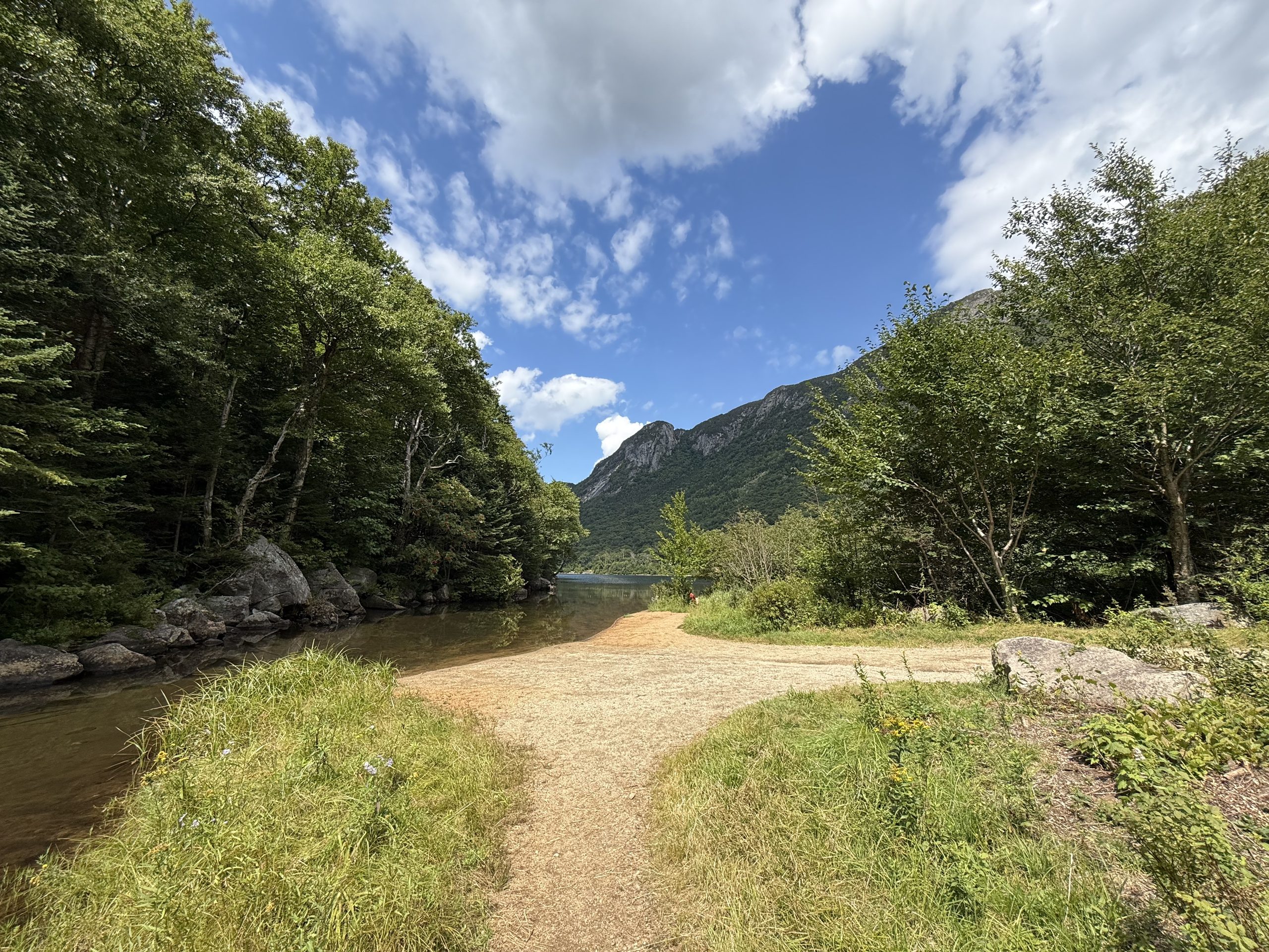
The site at dawn: the fog took the far shore away; the boat waits under the pine for its next shiftOn the commute: the sun dismantling the fog, one shaft at a timeThe white-wall stretchA truck surfaces from the mistThe fog wall hanging at the junctionMt Van Hoevenberg: "Site of the 1932 & 1980 Olympic Winter Games" on the stone wall — an Olympic village 12 minutes from the officeThe legacy map: jumps, sliding track, coaster, ziplines, gondolas — all inside the after-work radiusThe view outside the office: mountains and clouds straight from the Price Chopper plaza — this is what the commute ends atRt 86: the road to Lake PlacidThe 120 m jump towers rising past the pines — first sight of the Olympic villageMirror Lake public beach: sand, lake, High Peaks cloud shadows — the town's living room
II · Olympic machines, and the raccoon night shift
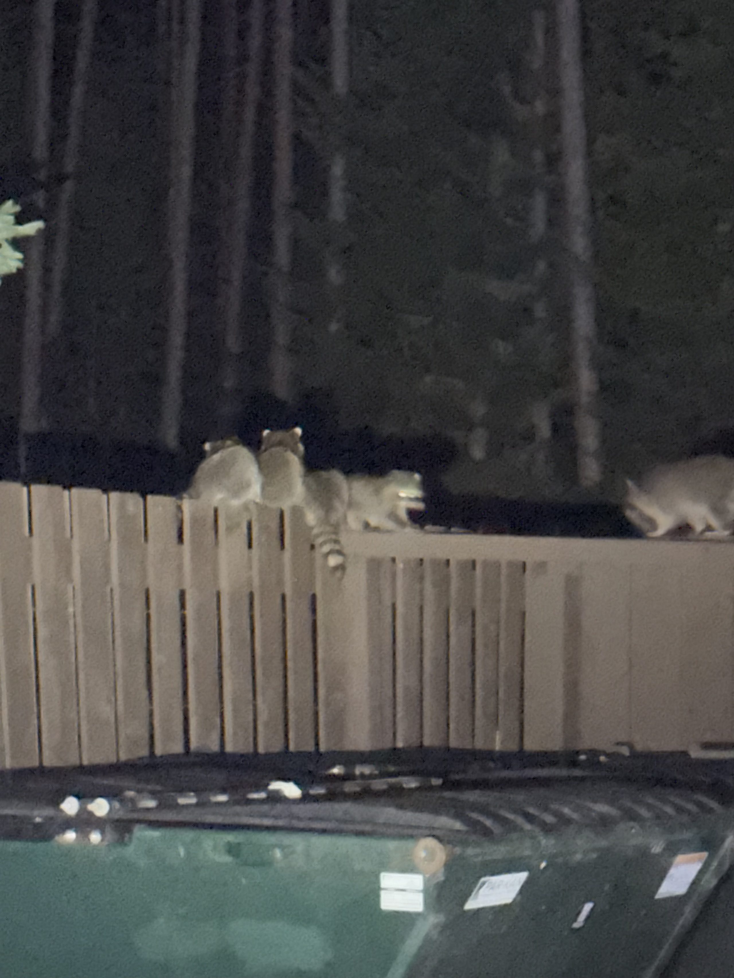
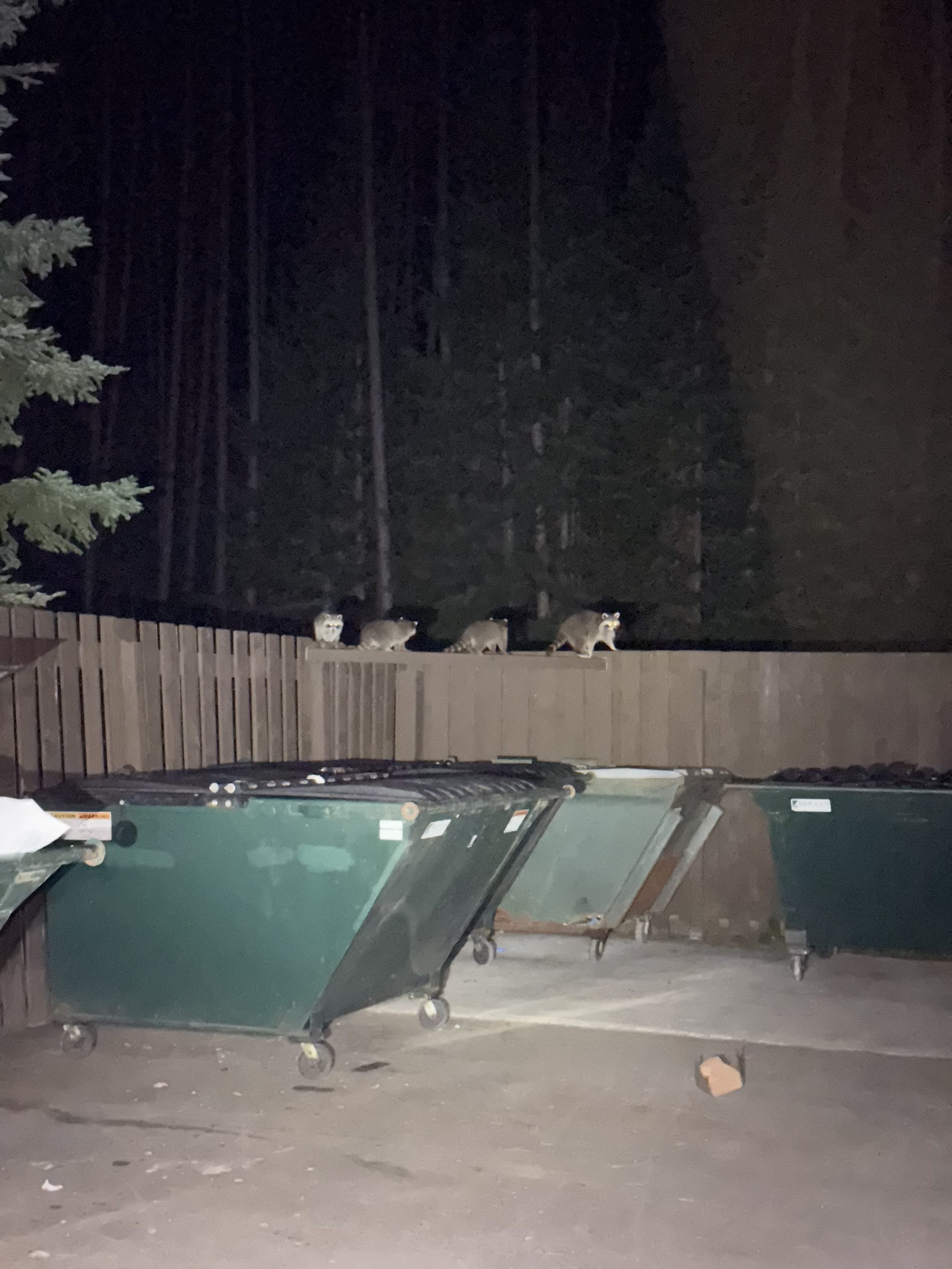
America's longest mountain coaster, a zipline between the ski jumps, the actual Olympic sliding track — Lake Placid lays out its 1980 inheritance for anyone to play on. The bog produced zero animals all day; at half past ten that night, a full raccoon crew filed along the dumpster-corral fence and answered the question personally.
🌐 Live 360: mid-zipline — turn around for the jump hills and the High Peaks · all panoramas →
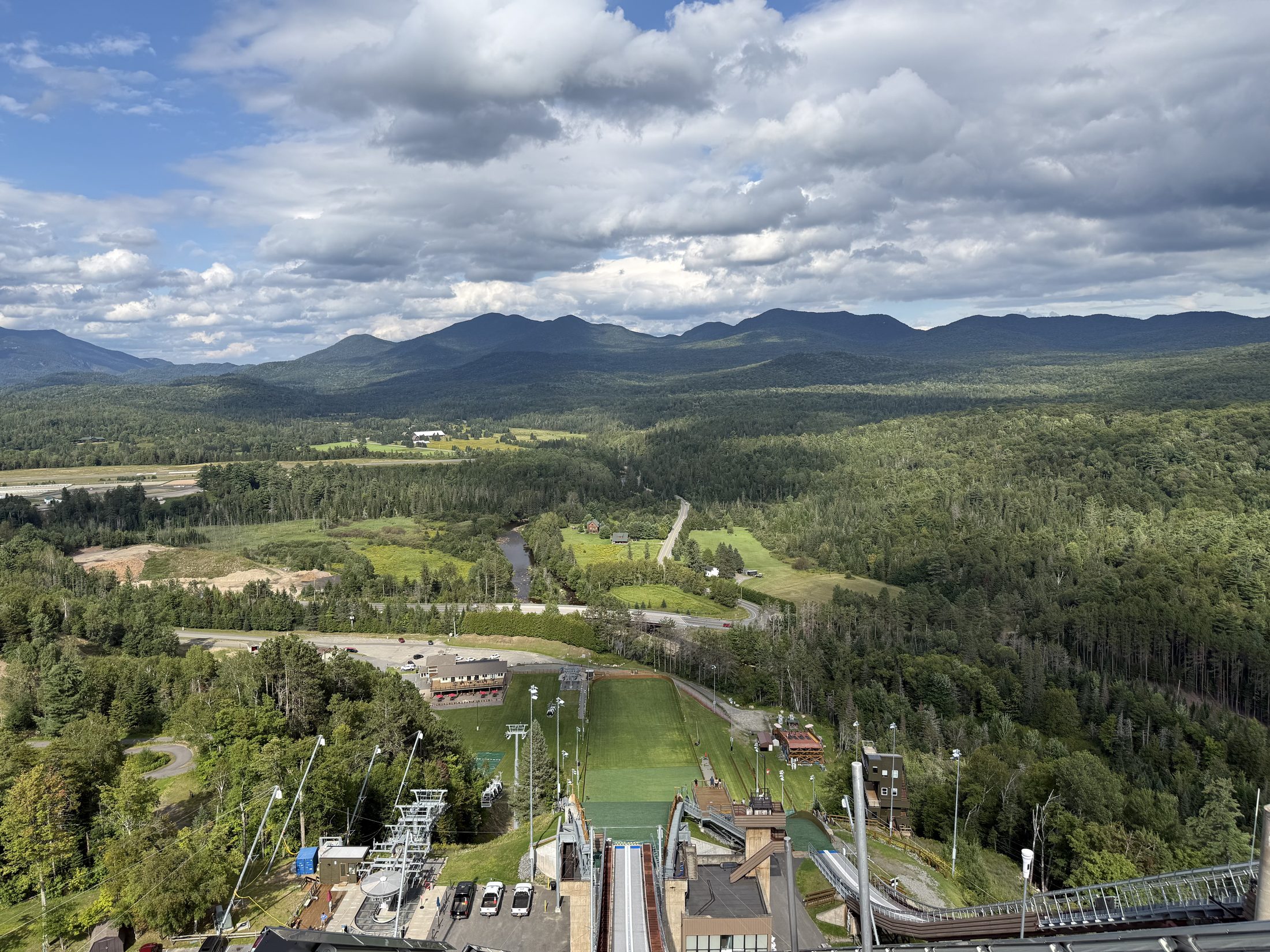
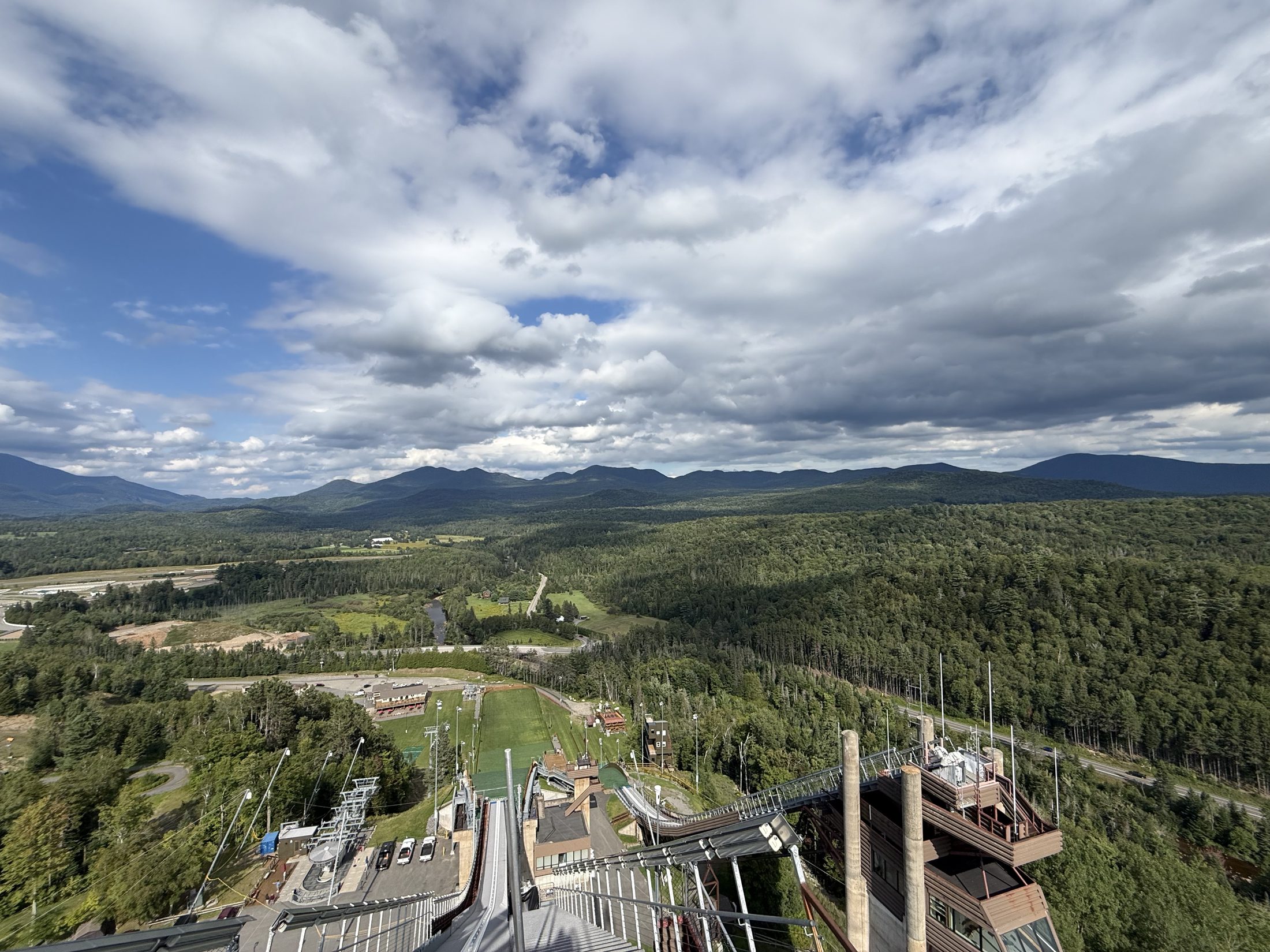
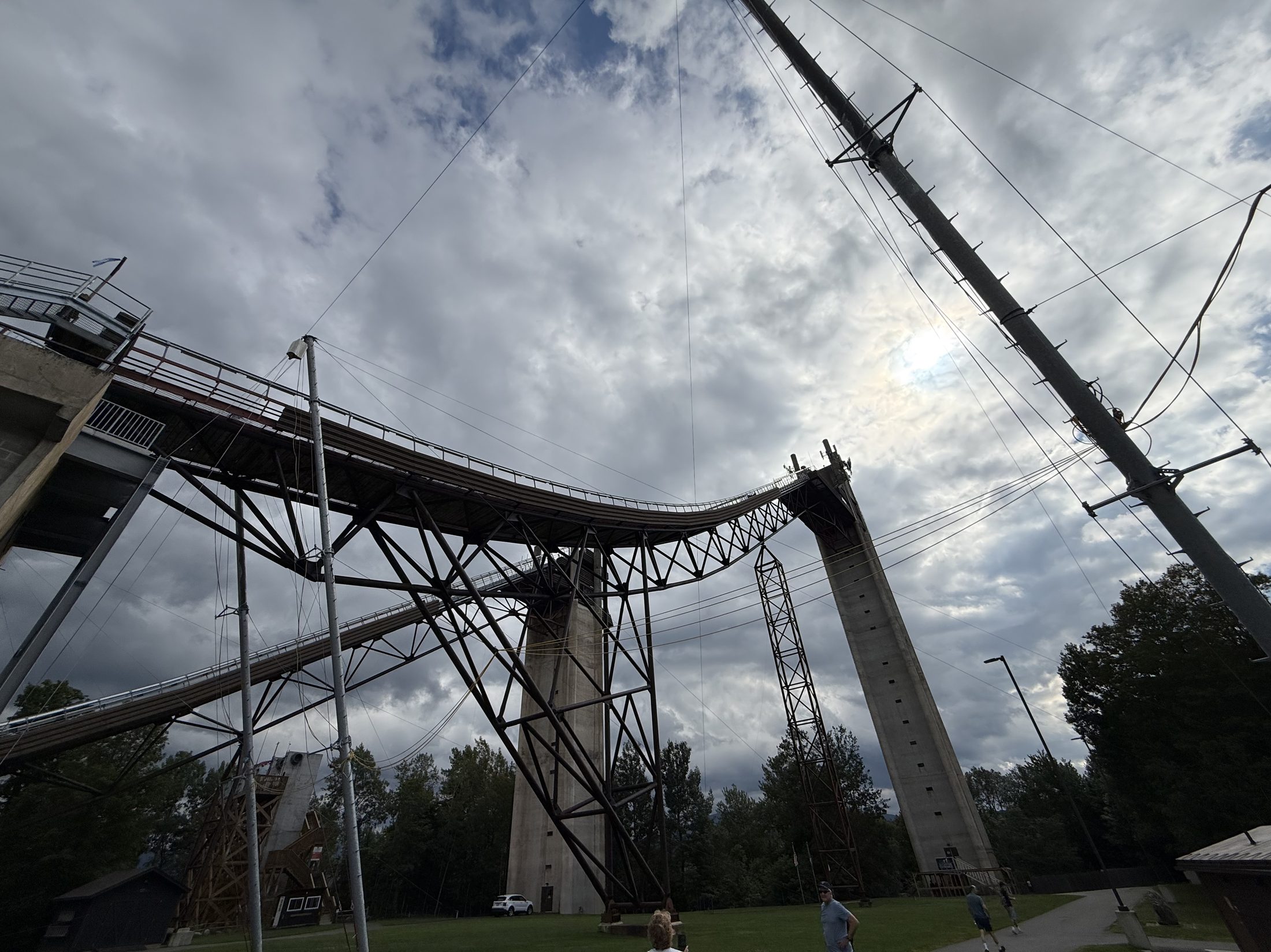
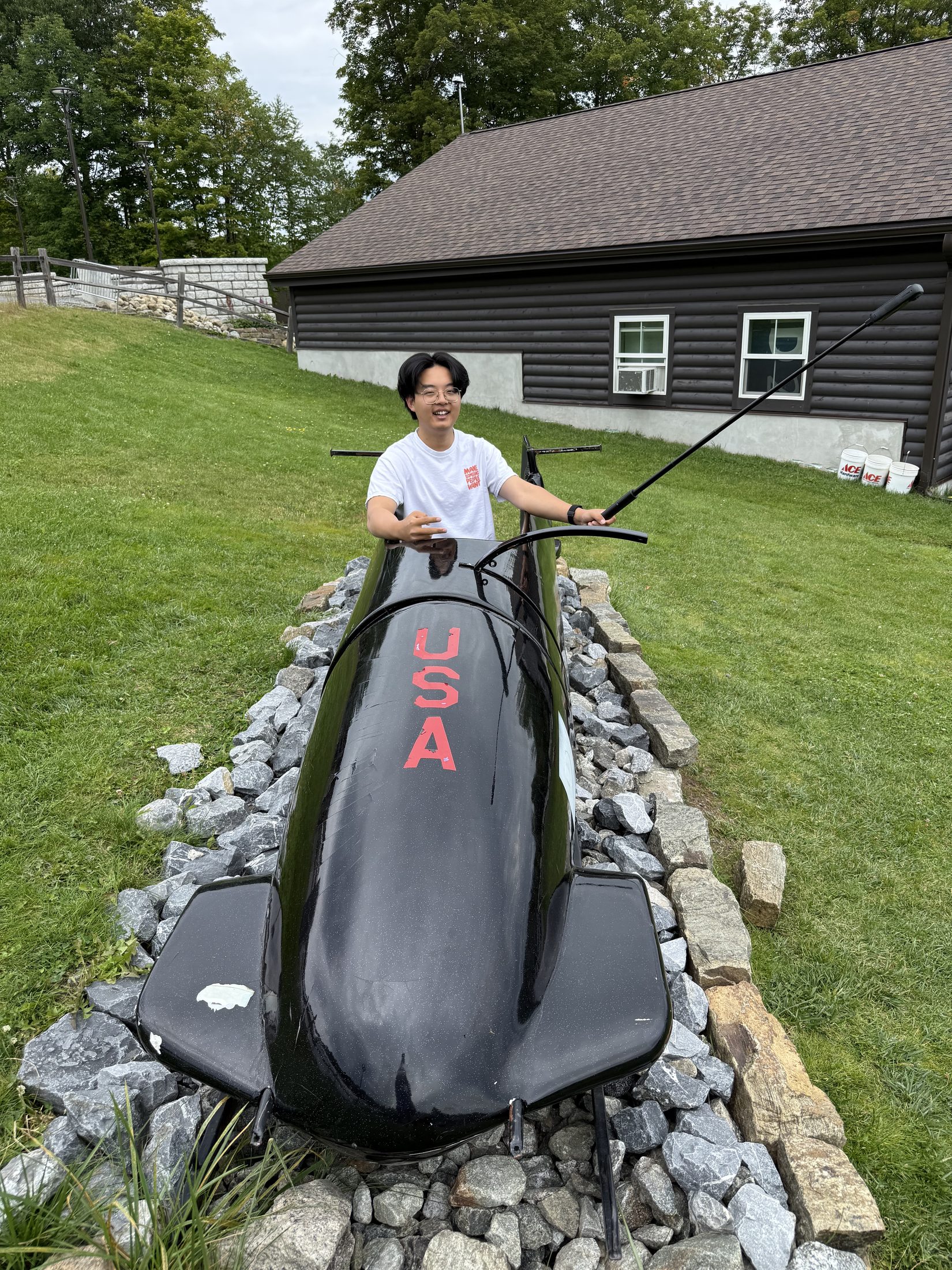
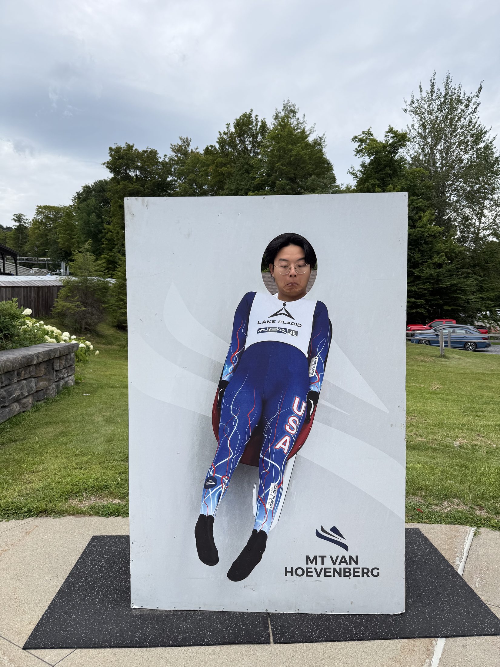
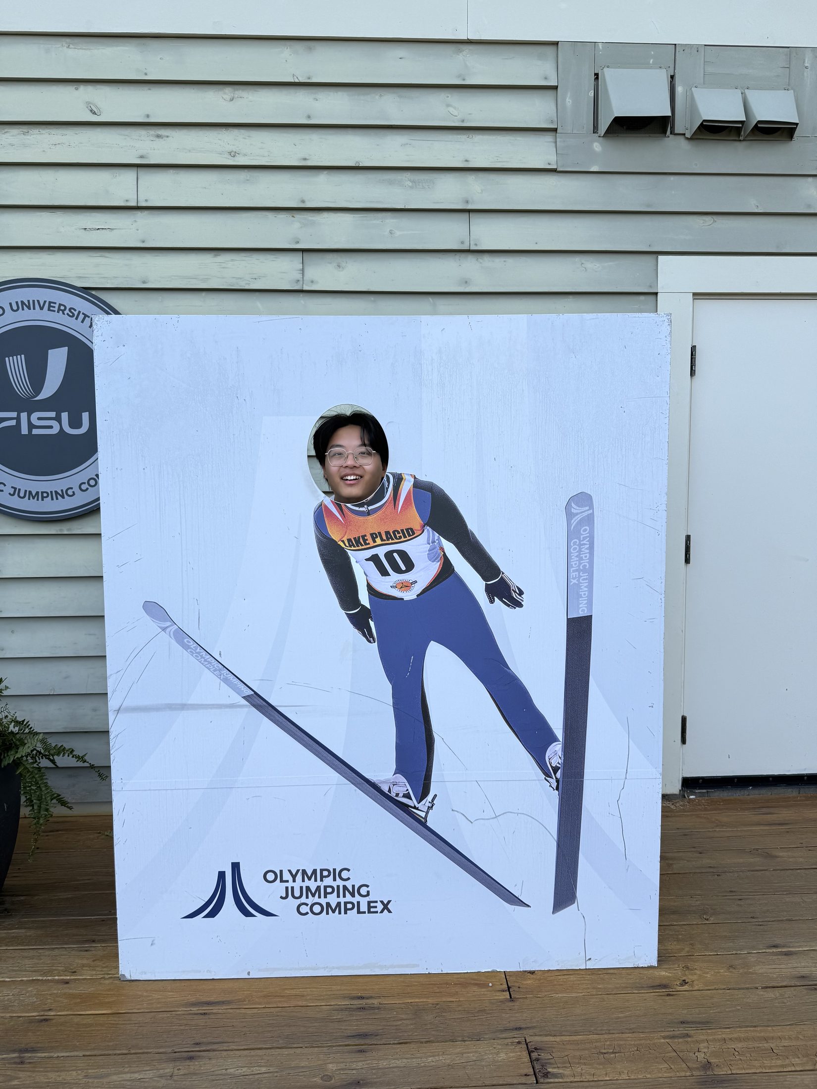
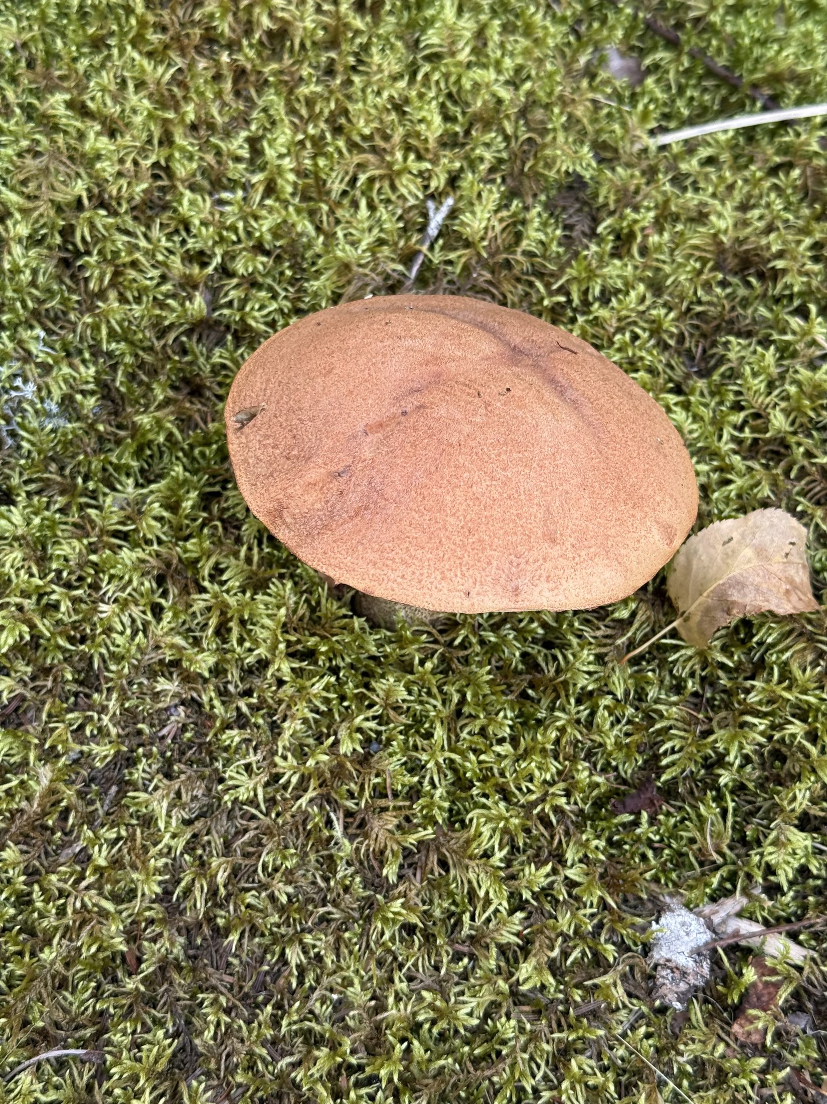
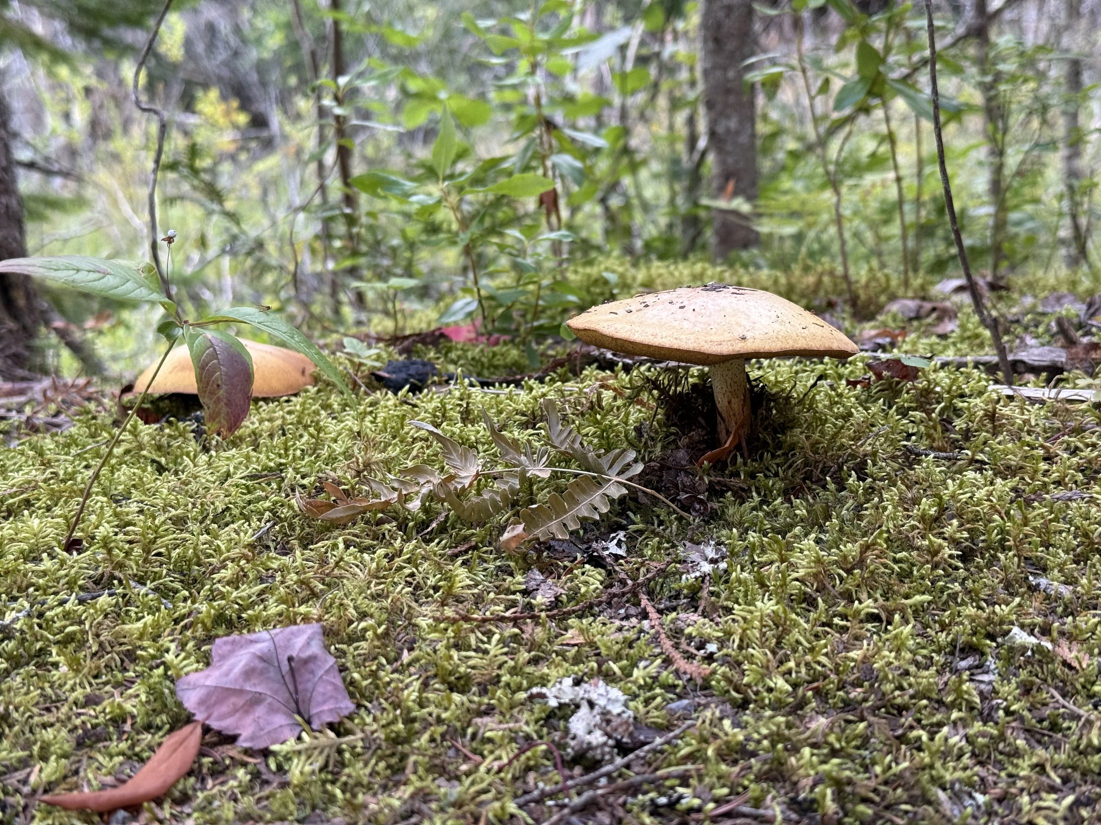
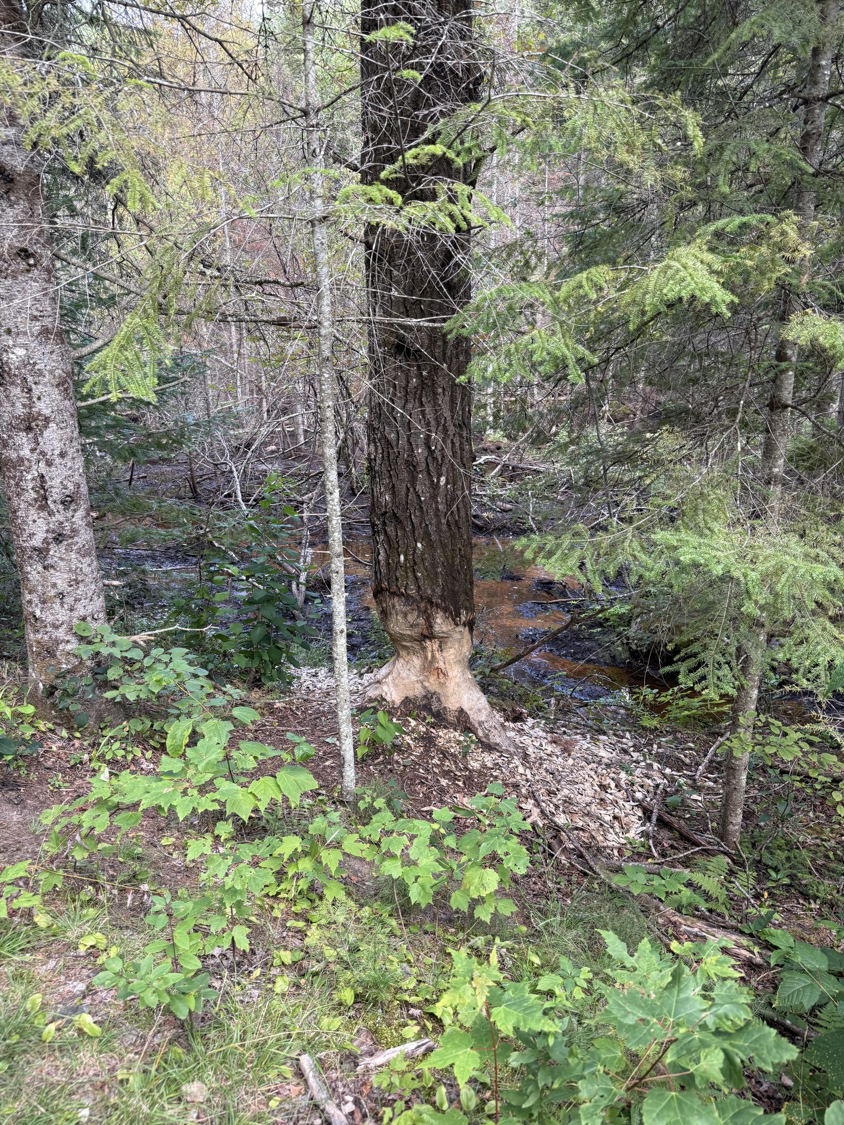
🎬 The zipline launch, live: the last seconds hanging at the platform — net below, the whole valley ahead. A 39-second portrait reframe from the 360 cameraFrom the top of the 120 m jump: the green in-run drops straight toward the valley, the High Peaks ranked along the horizon — this is what the athletes see at the moment of launchThe tower · II: cloud laid across the whole ridge, both jump structures belowFrom underneath: the steel truss carries the in-run in one long arc, the concrete towers going up into the skyThe landing hills, carpeted in green plastic — they jump all summer, just onto turfThe USA bobsled display: hands finally on the real thing — physical evidence for the Speed domainFace-in-the-hole #1: the Mt Van Hoevenberg luge editionFace-in-the-hole #2: the jumping edition, bib number 10No moose, but mushrooms: one brown cap on a carpet of mossThe bog's actual residents: moss, mushrooms, fallen leavesThe animals stayed hidden but left a signed statement: a trunk gnawed white all the way round — beaver work — with its pond right behind🦝 The 22:32 encore: the forest that showed us nothing all day sent a full raccoon crew to the dumpster corral by night — eyes flashing in the light, better acquainted with the schedule than we areNight shift on the fence: three or four in committee, one ringed tail hanging down like a thermometerThe patrol line: four in single file along the fence-top, suspiciously well drilled — the daytime green wall opens for business at night
🌐 360 live:Sitting in the USA bobsled — turn around for the whole Olympic complex · drag to look around · tap 🧭 on a phone · all panoramas →
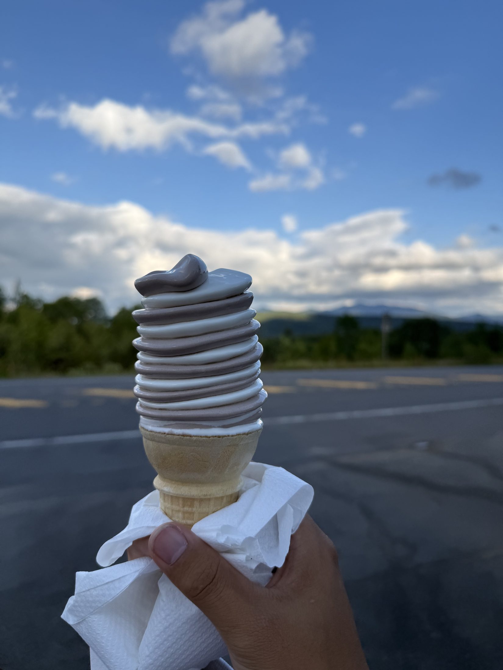
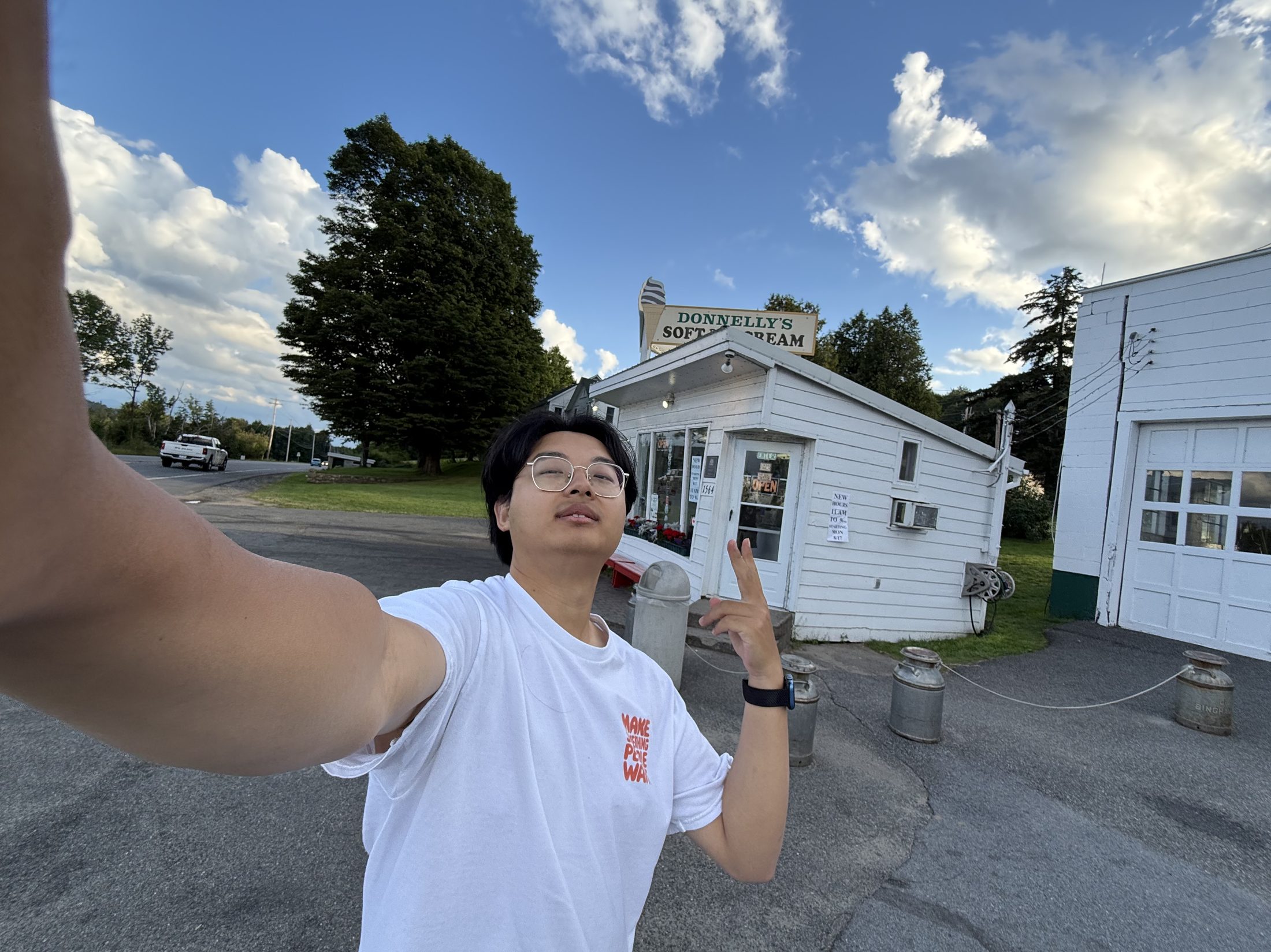
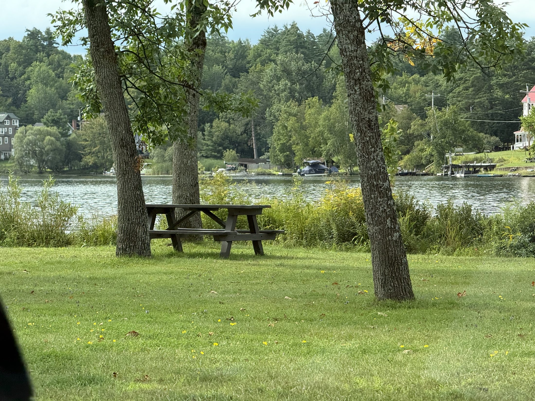
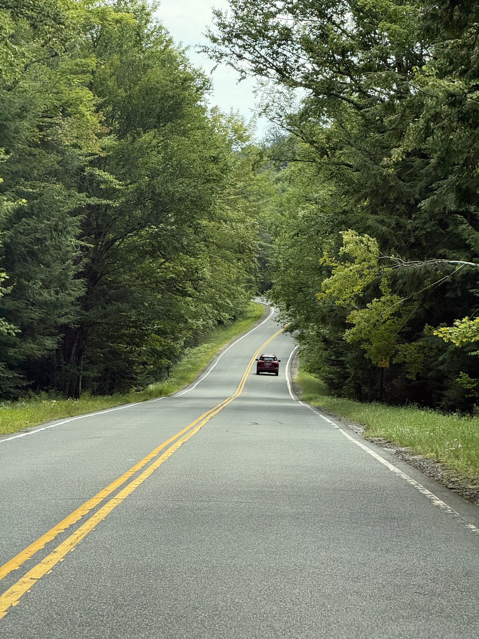
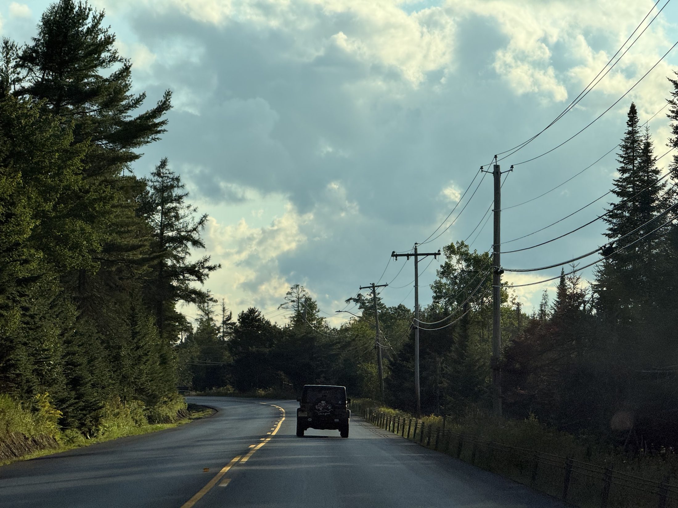
Donnelly's flavour of the day: a black-and-white swirl held up over the parking lot with mountains behind — one flavour a day since 1953, and today it was this oneProof of attendance: the little white Donnelly's Soft Ice Cream house and its milk cansLakeside at Saranac: an empty picnic table under the trees, boats moored across the waterThe tree tunnel: this week's commuteThe evening drive home: a Jeep ahead, the poles ticking past one by one
🌐 360 live: 8/17, the rolling office — FSD driving, Cassie typing shotgun, paper maps in the middle. Drag to look around · tap 🧭 on a phone · all panoramas →
III · Driving up the fifth summit
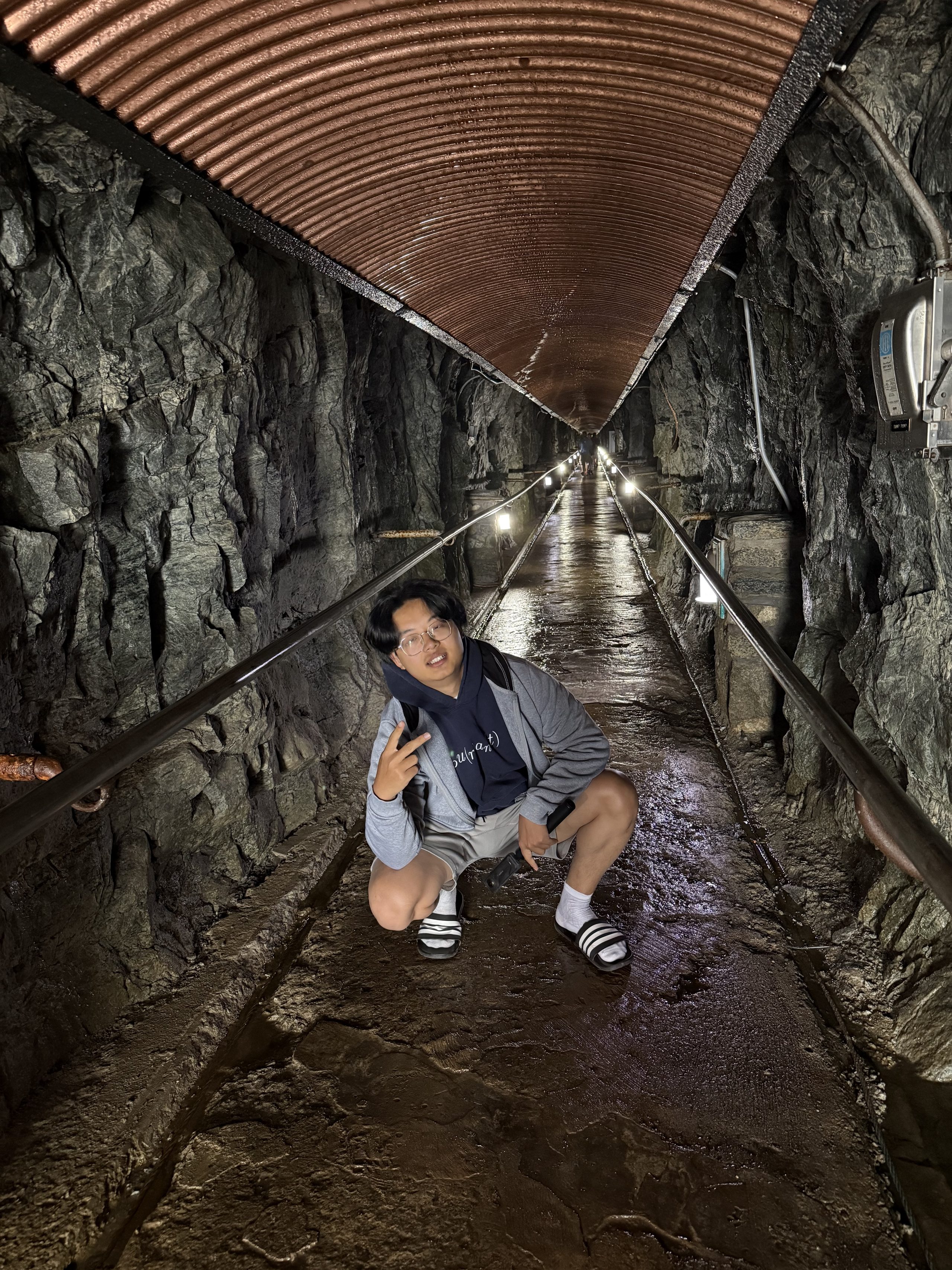
Whiteface: New York's fifth-highest, and the only one you can drive your own car up. A tunnel bores through the mountain to an elevator that climbs eight storeys inside the rock — 1930s audacity. Summited in slides and white socks. Come evening, the Lake Placid shore delivered a golden hour at the boathouse dock.
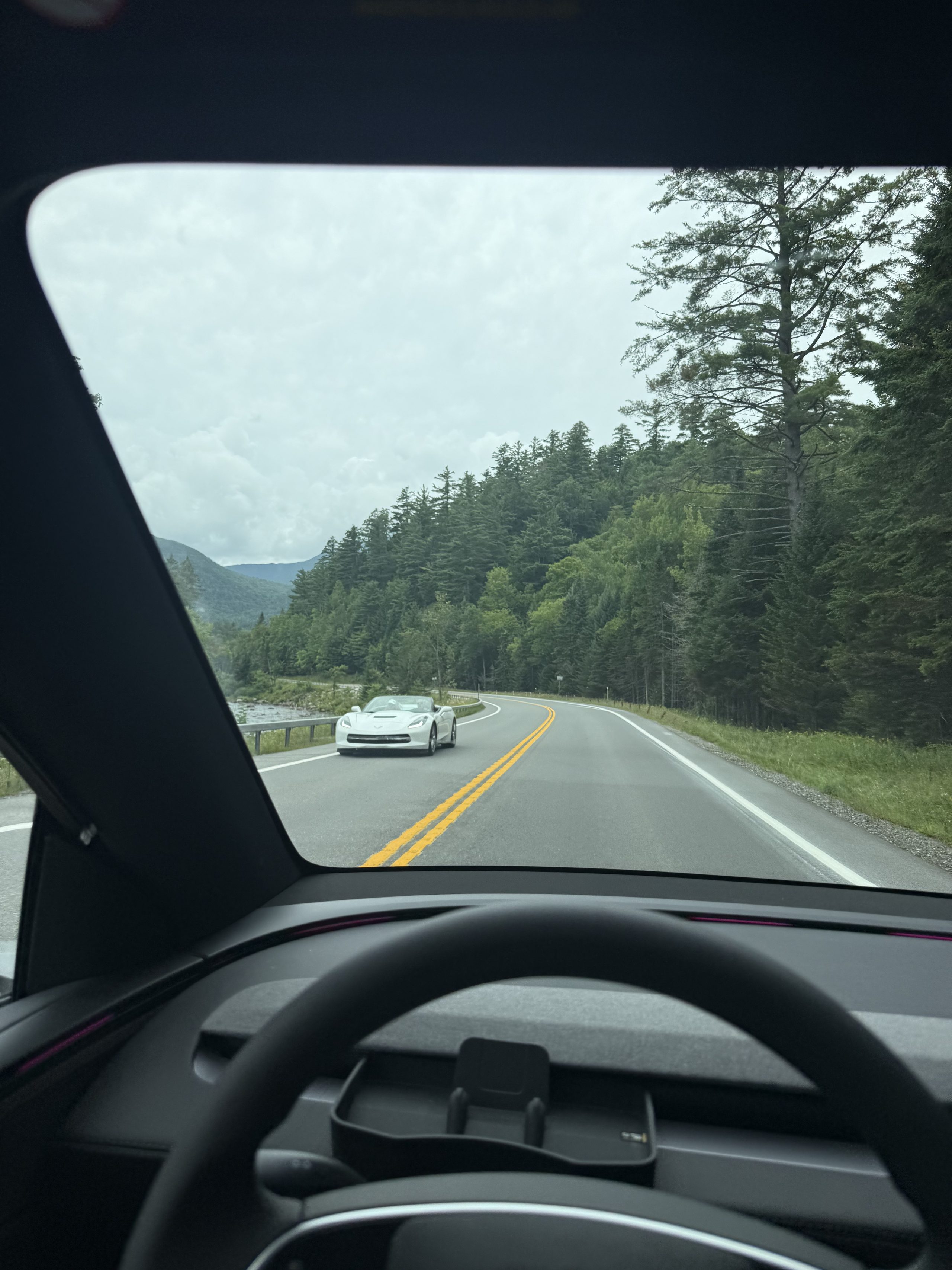
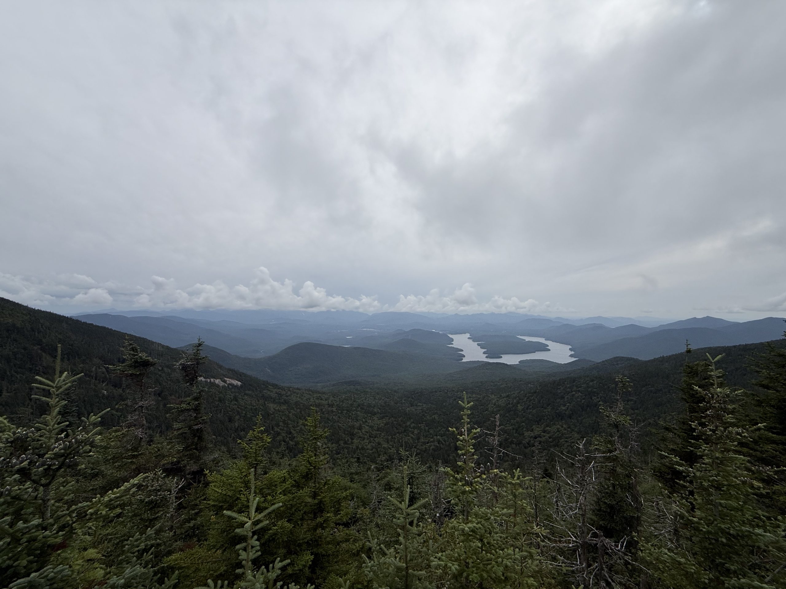
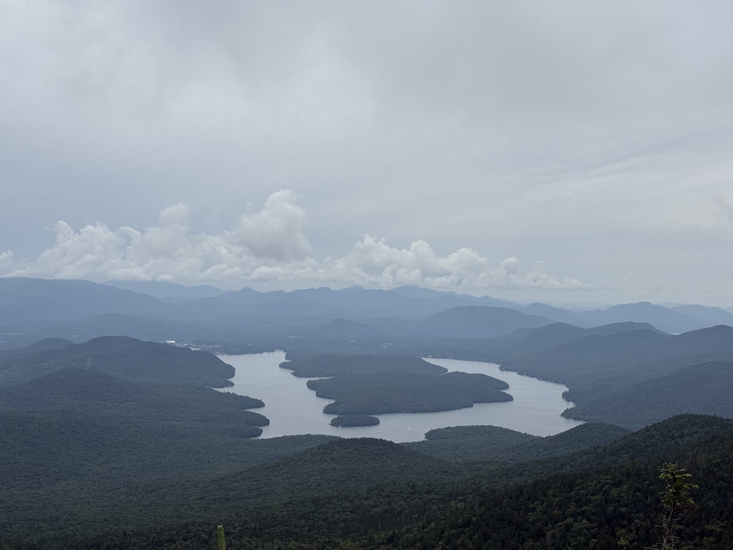
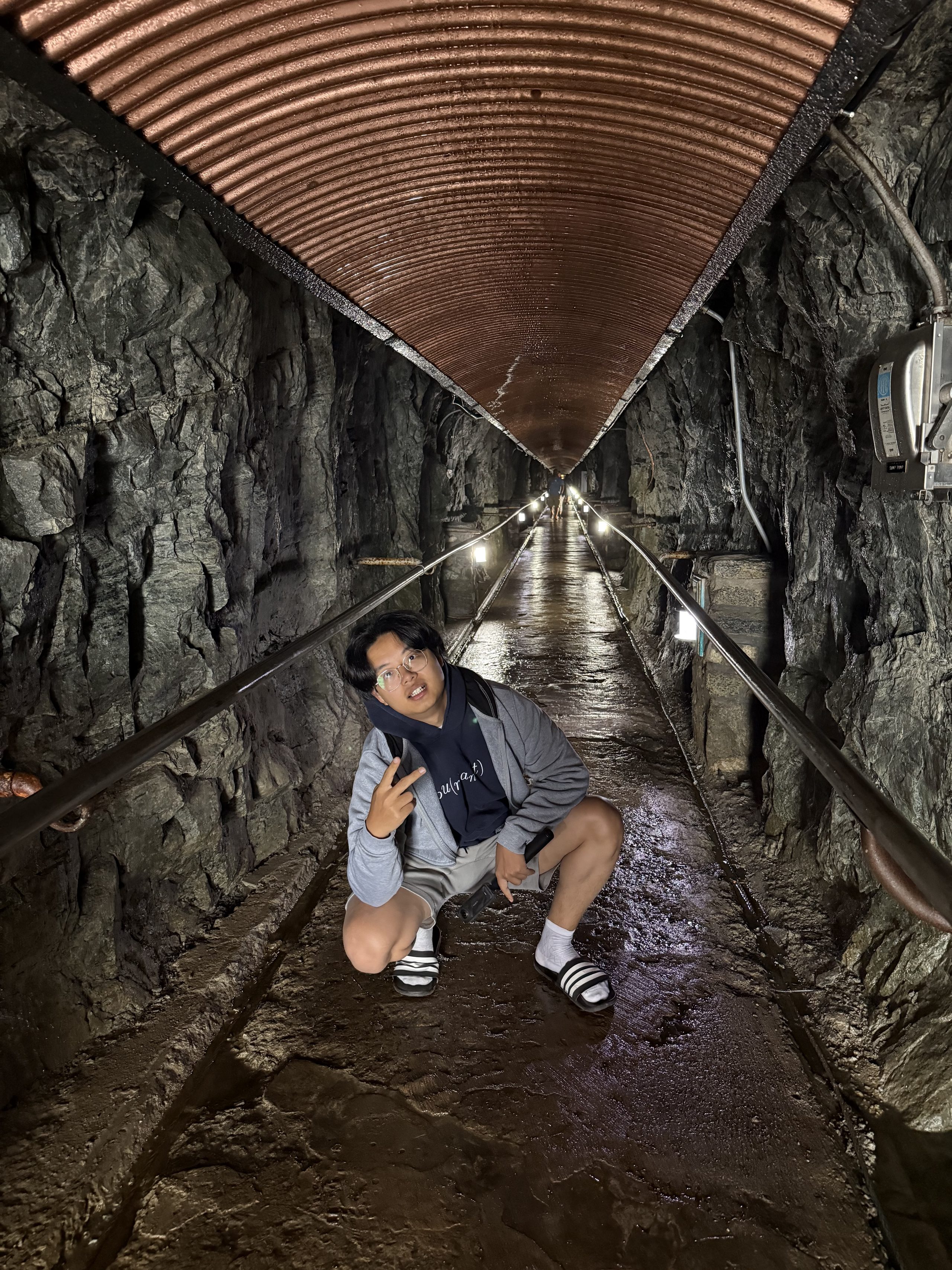
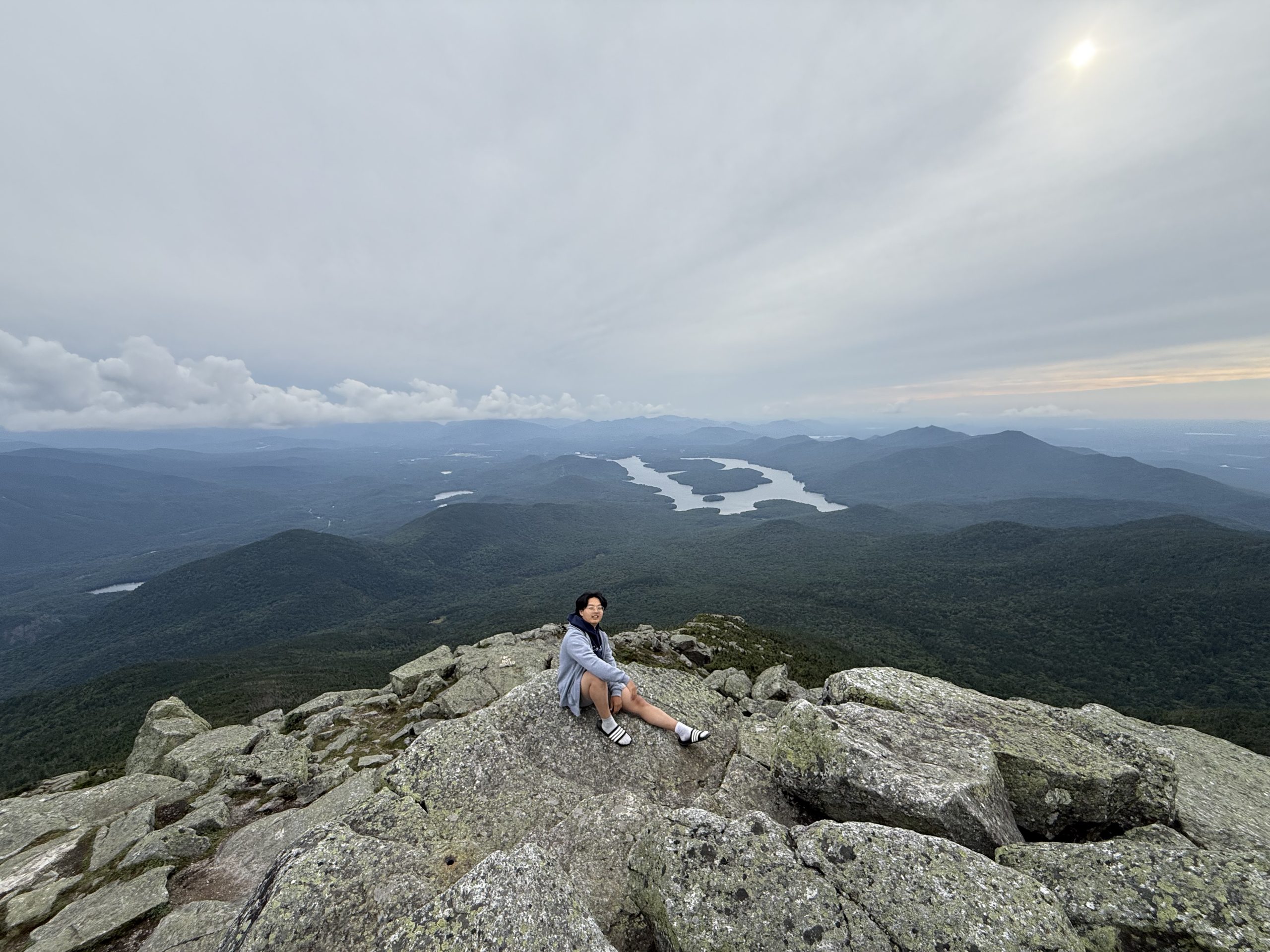
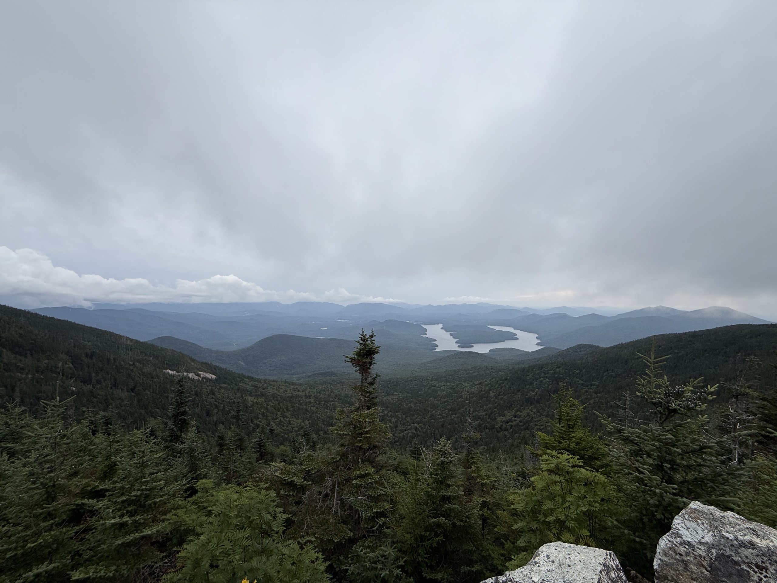
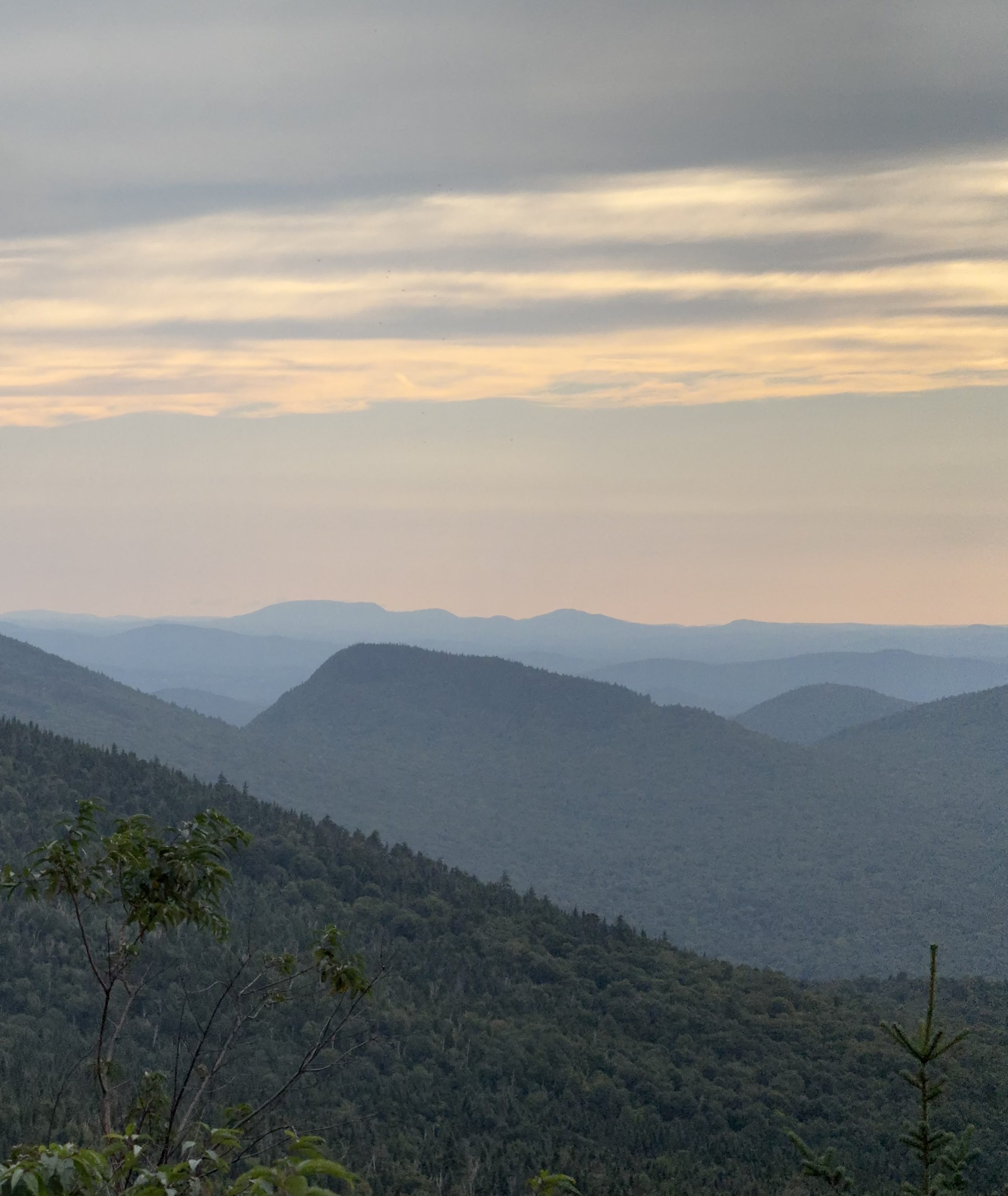
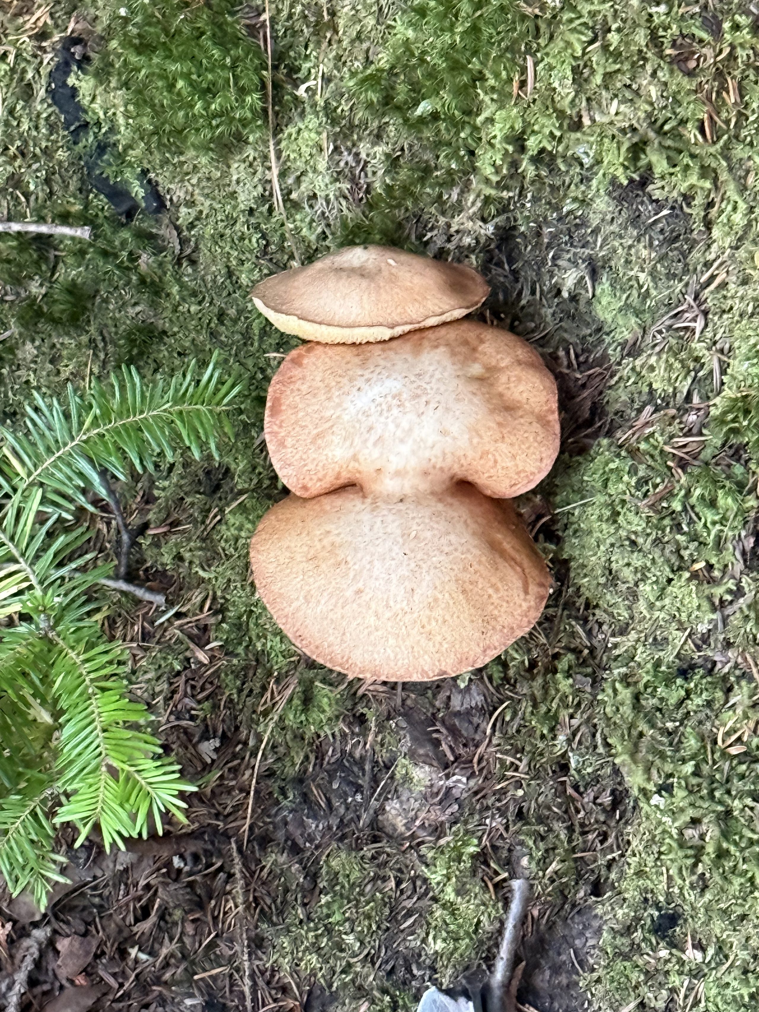
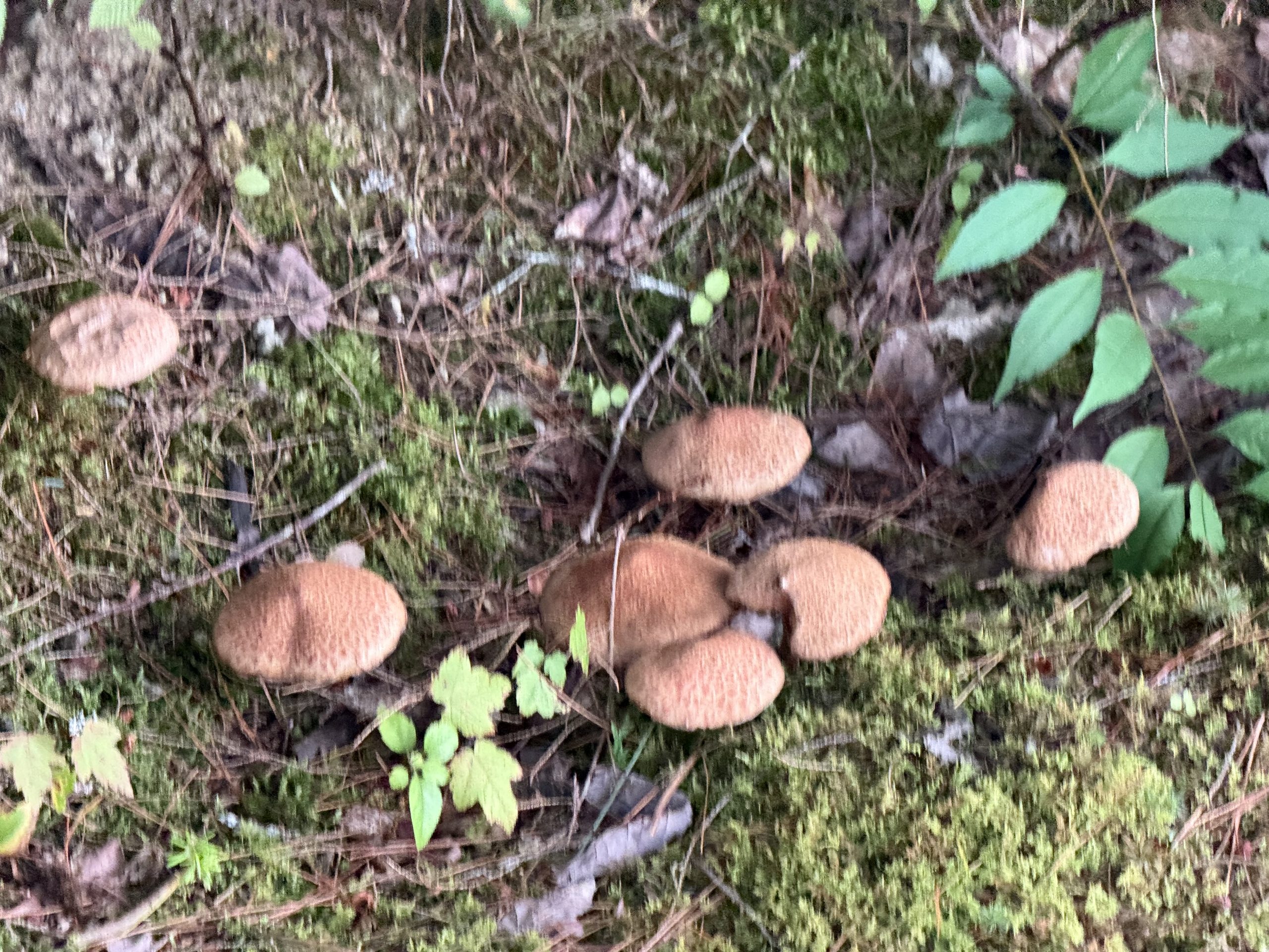
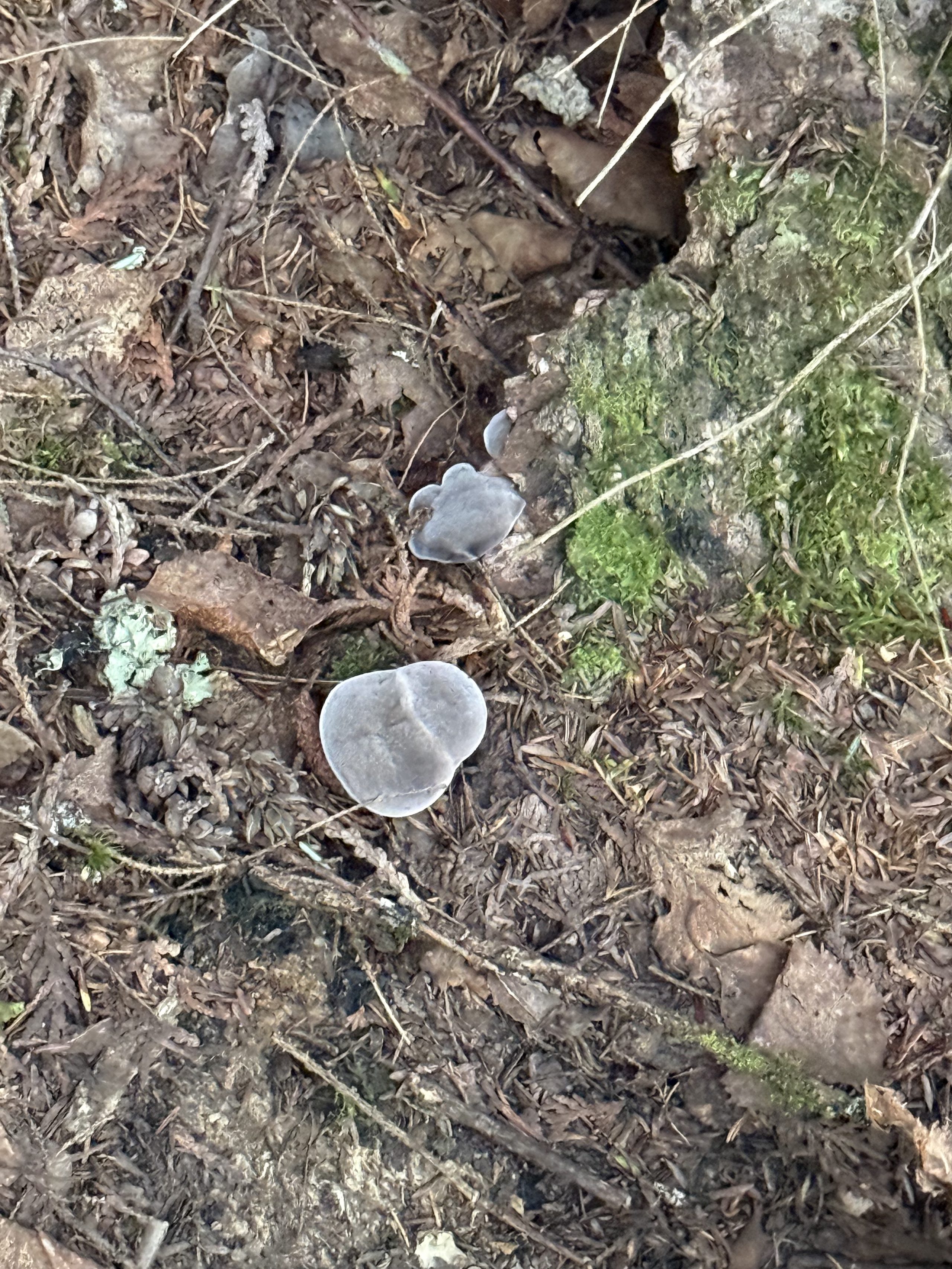
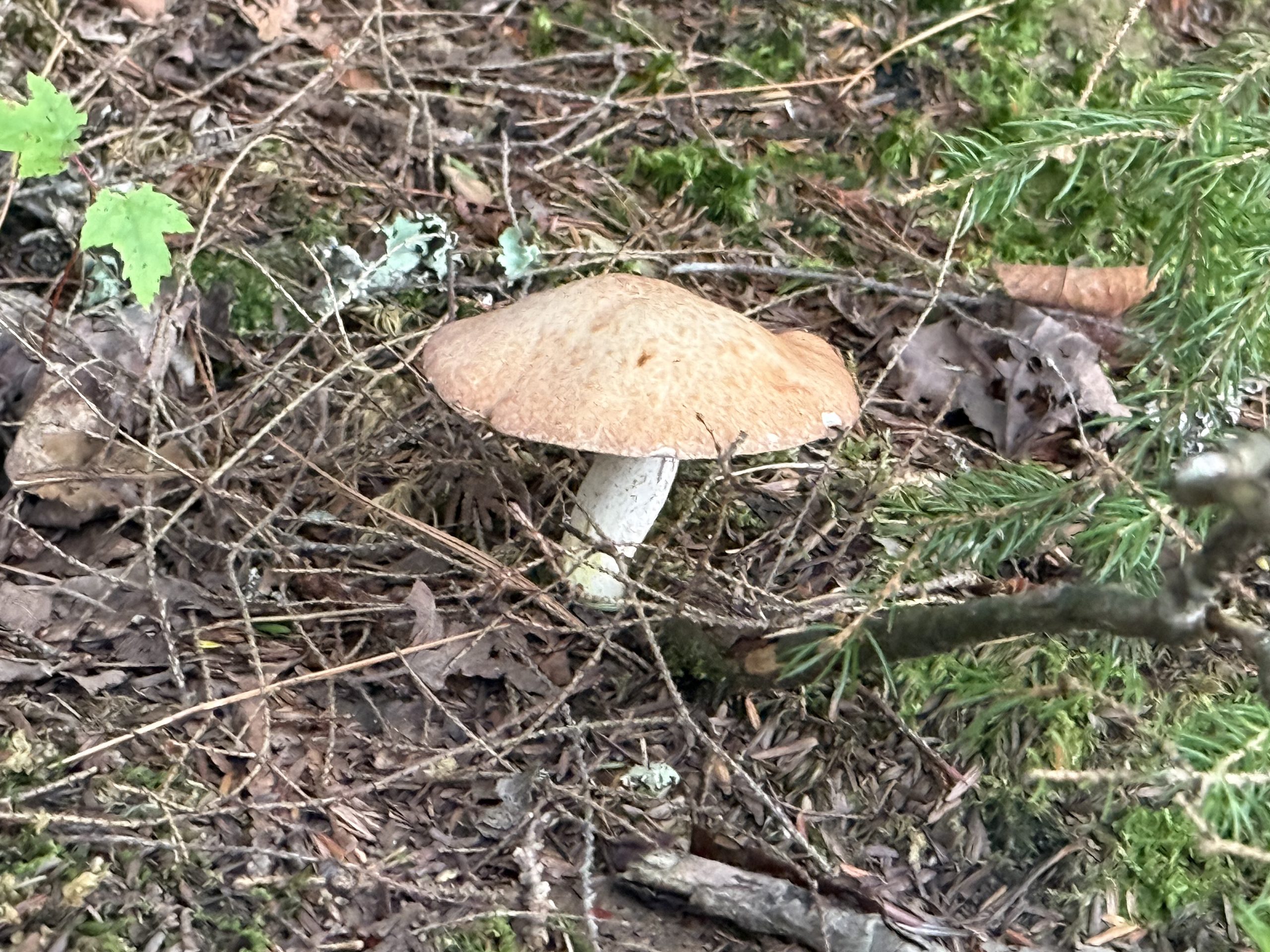
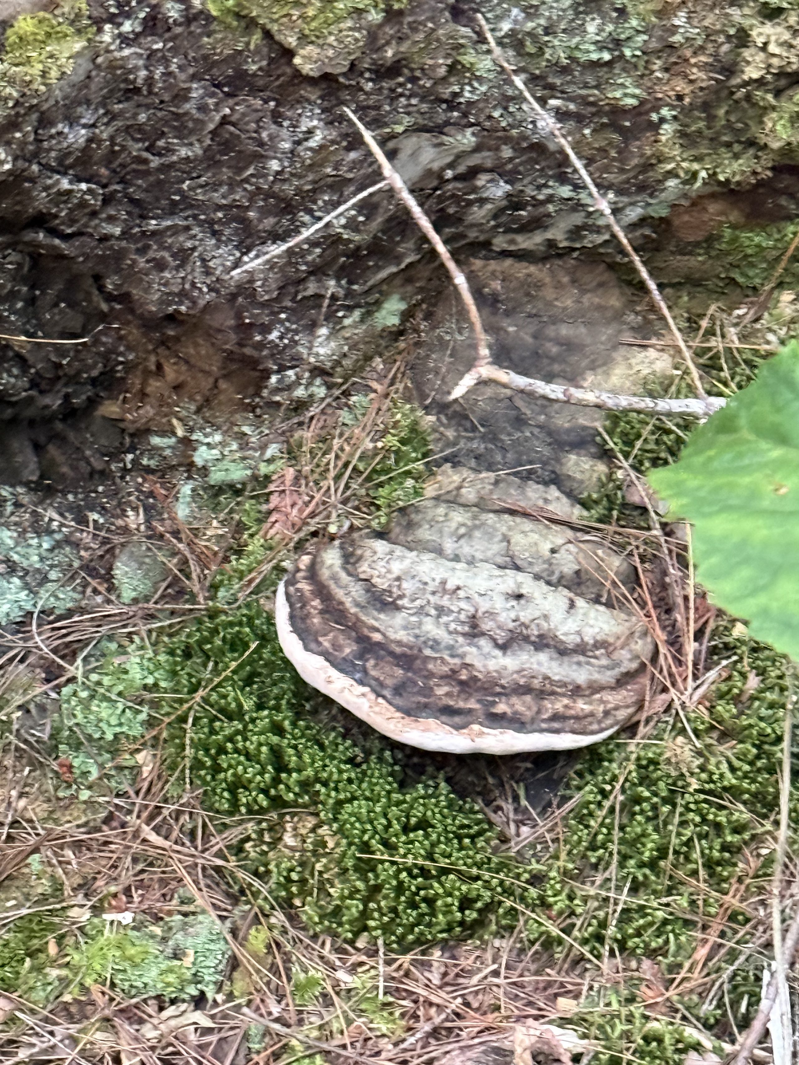
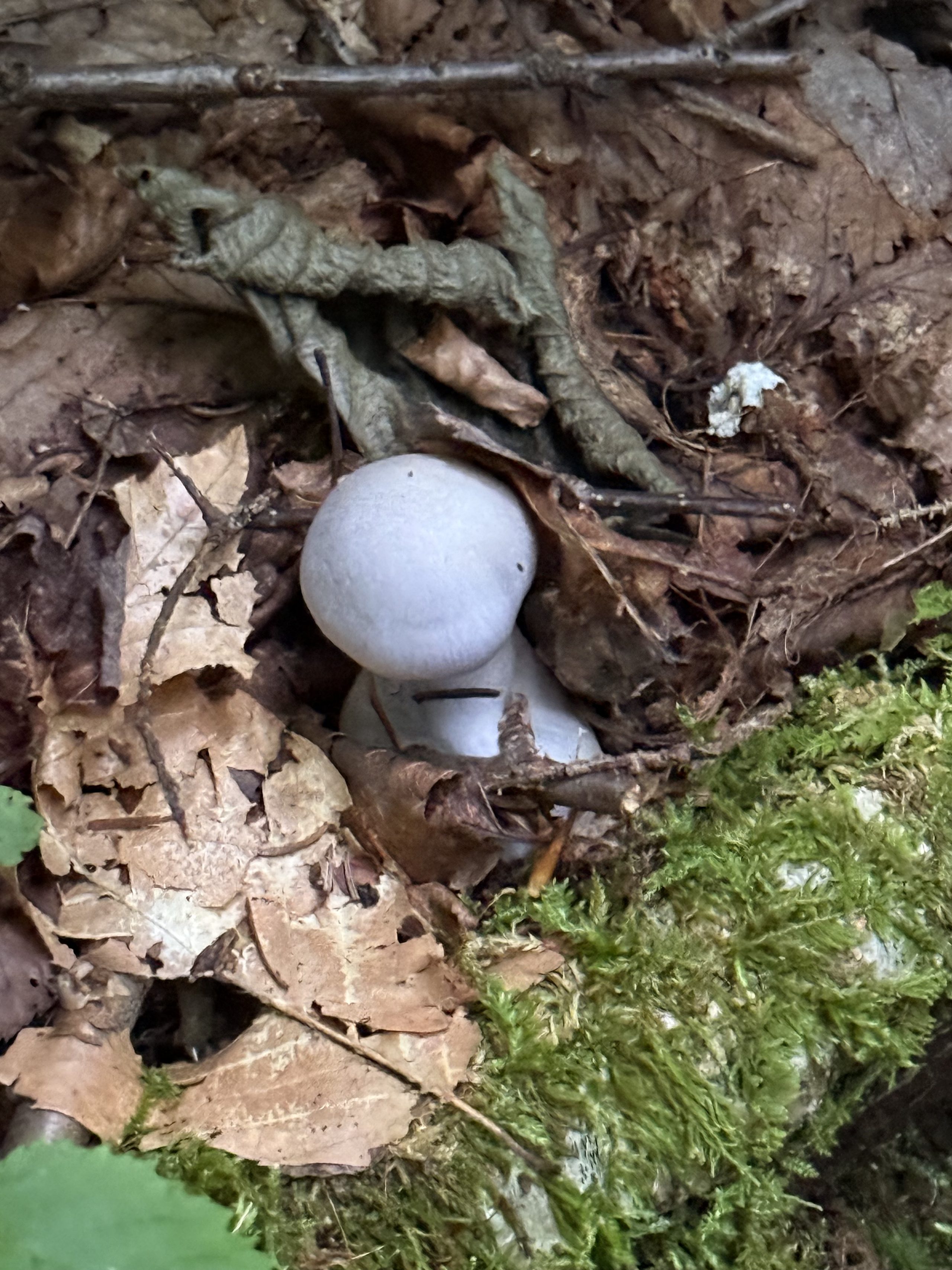
On the road to Whiteface, a white Corvette convertible rolls down the other way — everyone on this road is clearly here for the same reasonFirst sight of Lake Placid from the mountain's shoulder — cloud pressing low, ridgelines fading back in blue-grey layersThe signature view: two big islands carving the lake into ribbons of silver, the 1980 Olympic village on its far shoreThe tunnel through the mountain, ending at that eight-storey elevator inside the rock. The walls drip; the slides slip🎬 The summit sweep: Lake Placid, the High Peaks, cloud shadows — the wind louder than everything in frameThe throne at 4,867 feet. Summited in slides and white socks; take that, Olympic mountainNearly six; the clouds knock off work and the lake lights up once more past the treelineLast frame of the descent: ridge behind ridge, each a shade fainter, the farthest dissolving into peach-colored skyThe full Whiteface tunnel: copper ceiling running into the dark, the rock-bored elevator at the far end. Cut in the 1930s and still clocking in🎬 The Whiteface summit, panned: stone castle, weather antennas, the Adirondacks stepping back to the horizon. This mountain gave the view away freely — a week later Mt Washington would take it backPost-Whiteface dusk walk: a three-tier stack of boletes crammed into the moss like a plate of pancakes.A whole clan scattered over the moss — at least seven. The forest holds committee after rain.Grey-violet jelly fungi by the trail. Probably feels like gummy candy; didn't test — too alien.A lone brown-capped mushroom, canopy pitched perfectly level.A polypore bracket on an old stump, ringed like an overdone crêpe.Two puffballs pushing up through the leaf litter, white as lost ping-pong balls.Looking up from the gravel road back to camp: the trees leave one seam of sky, and the sunset threads it.End of the walk: the Juniper parked in the clearing, a two-mountain workday behind it.
🌐 360 live:Golden hour at the boathouse — the whole lake from the curved dock · drag to look around · tap 🧭 on a phone · all panoramas →
🌐 360 live:The Whiteface summit ridge — spin round, lakes to the horizon · drag to look around · tap 🧭 on a phone · all panoramas →
IV · The ferry, the wasted detour, and the midnight Whopper
Transfer day: the Juniper's first boat, straight across Lake Champlain. Then the trip's most educational failure — arriving in Vermont to find the destination permanently closed, which wrote a discipline into every plan since (see the epilogue's SOP). Portland came after ten, every plan dead, and a Burger King before 2 AM was the only warm thing that day produced.
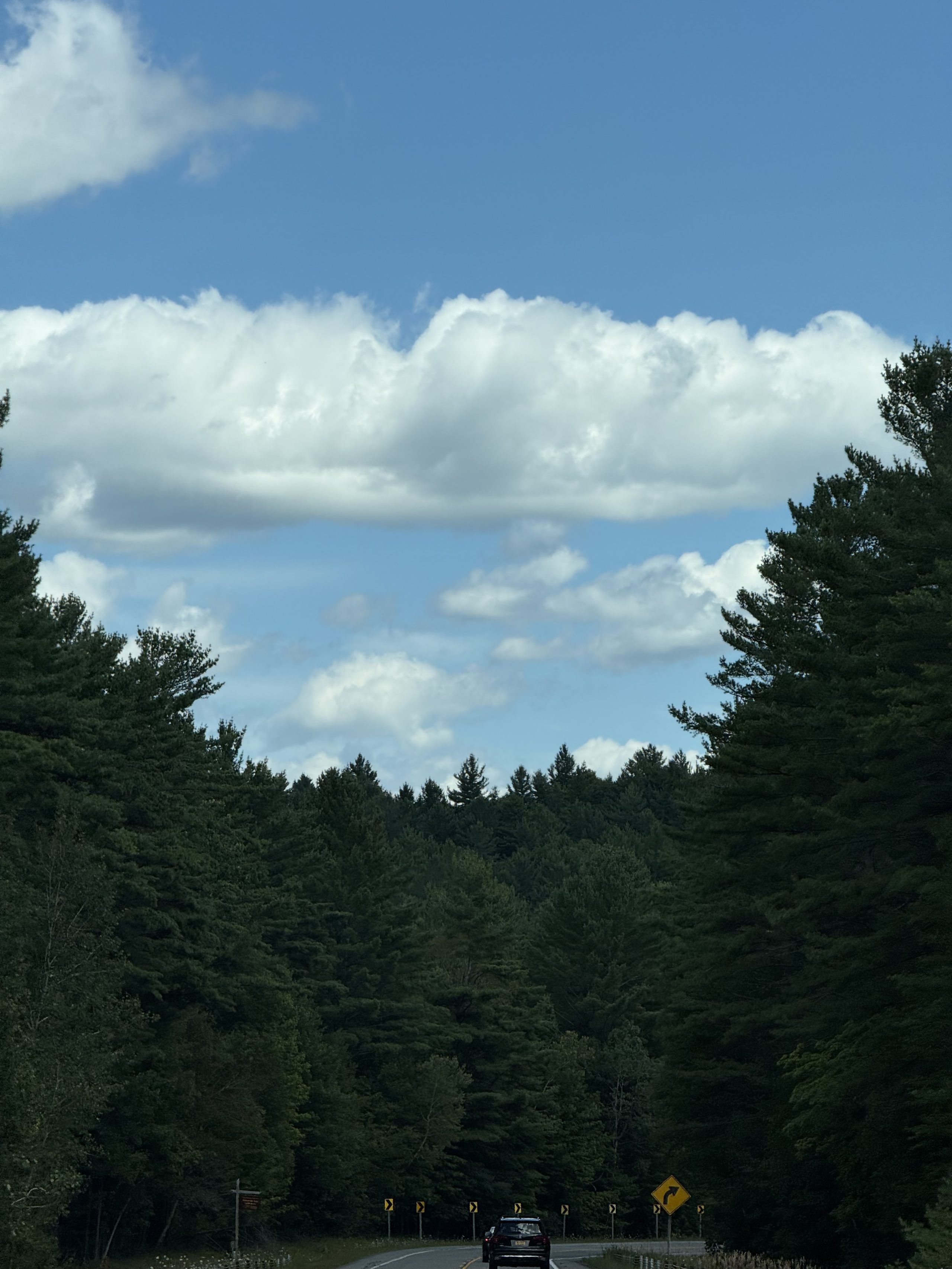
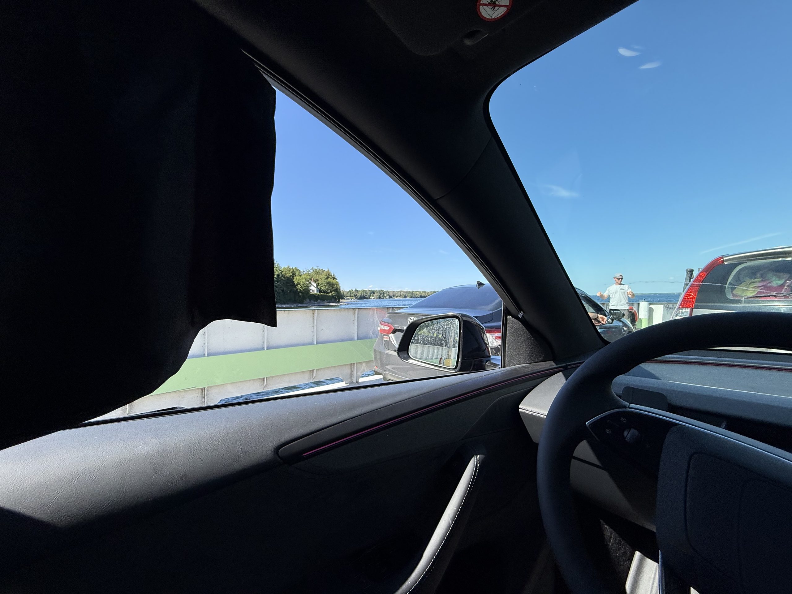
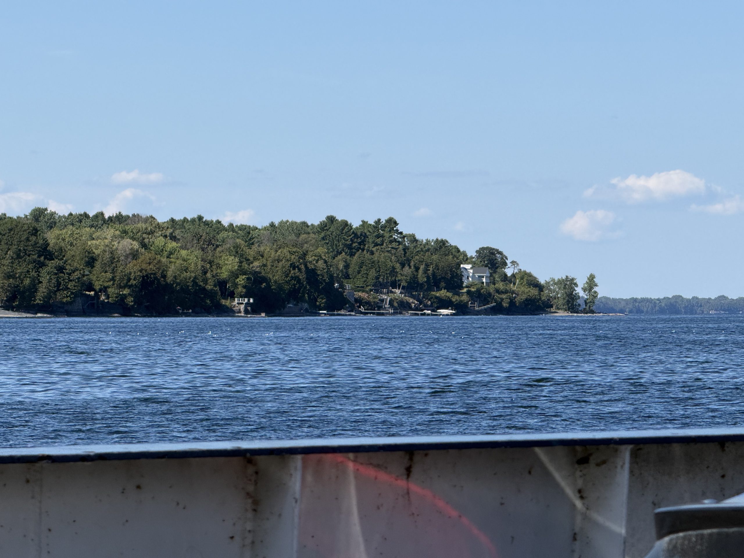
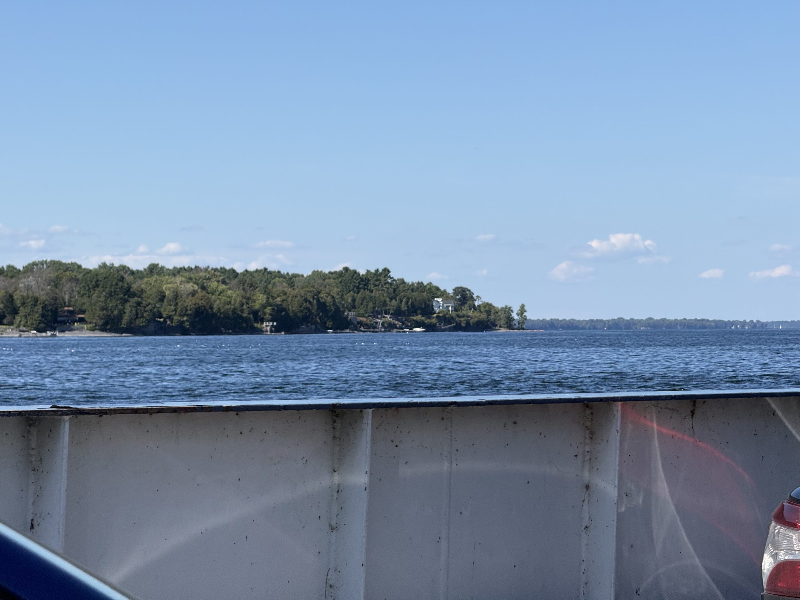
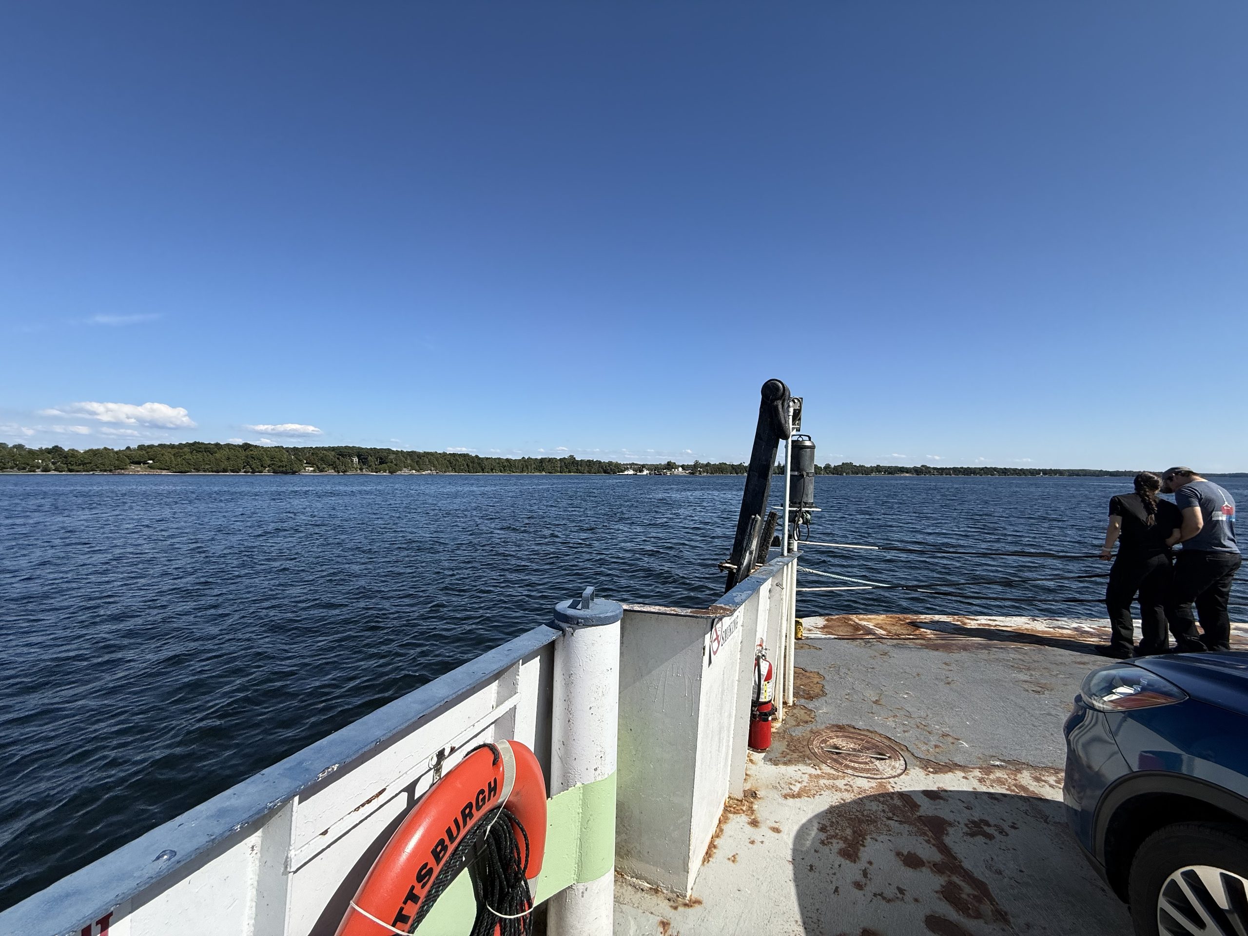
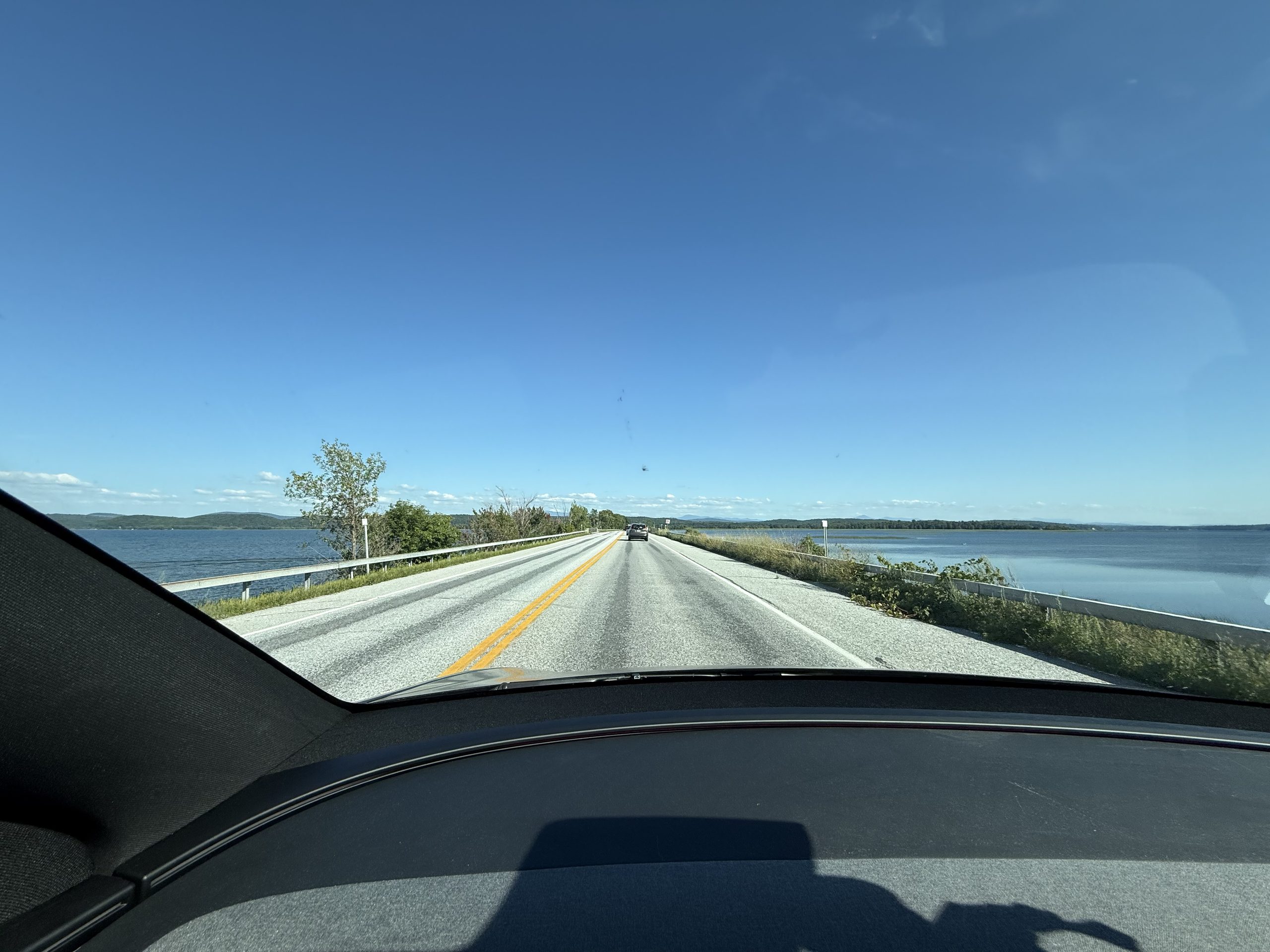
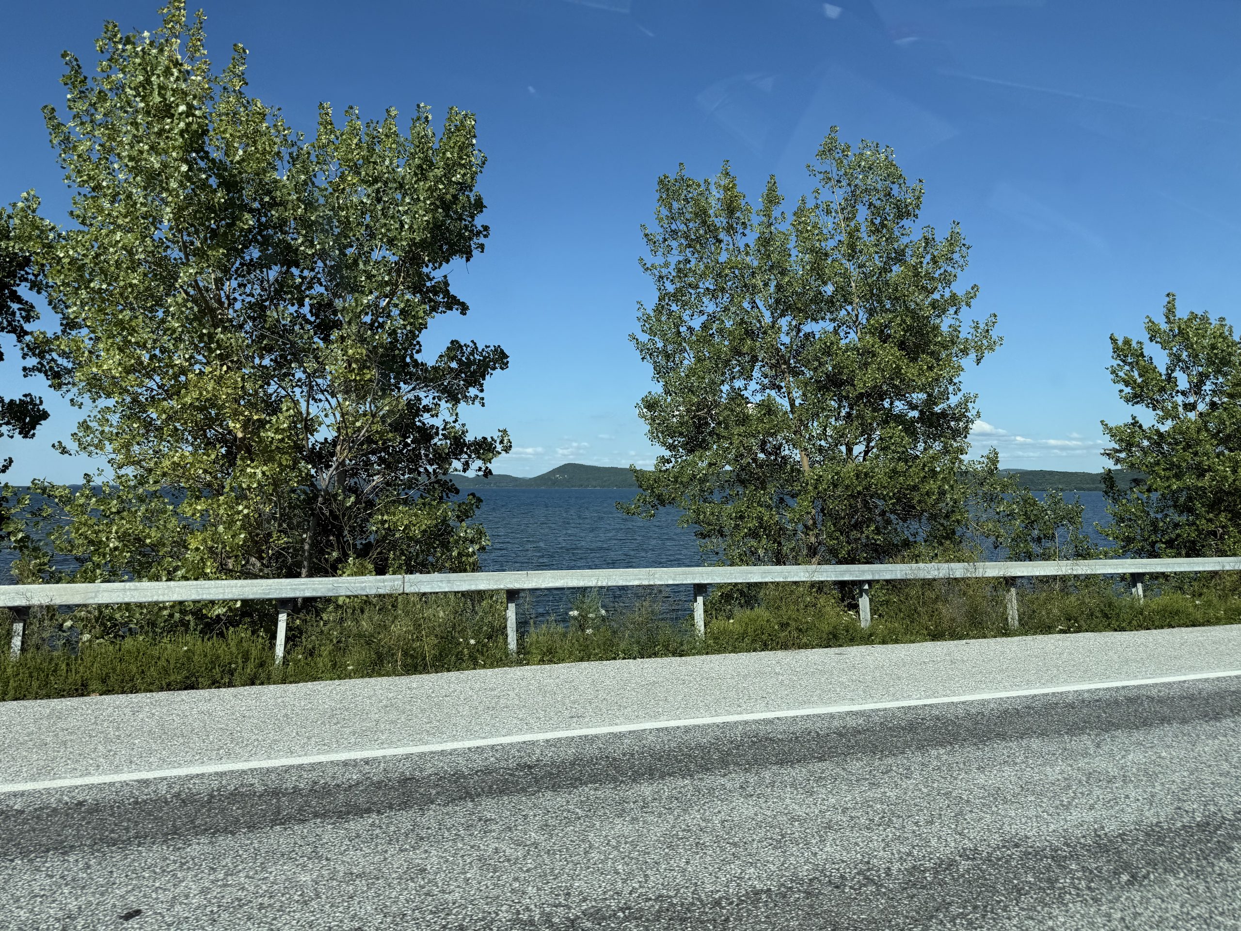
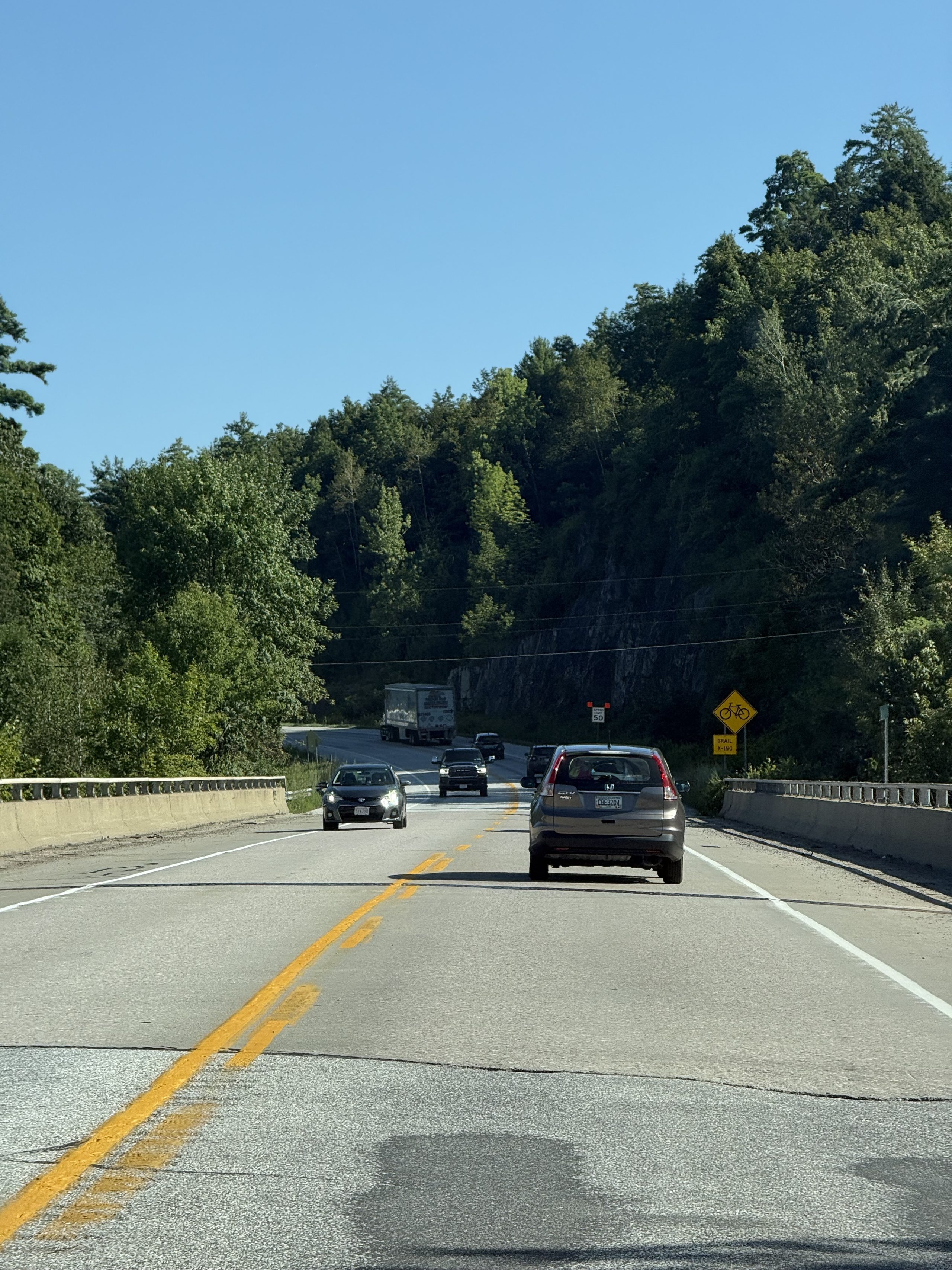
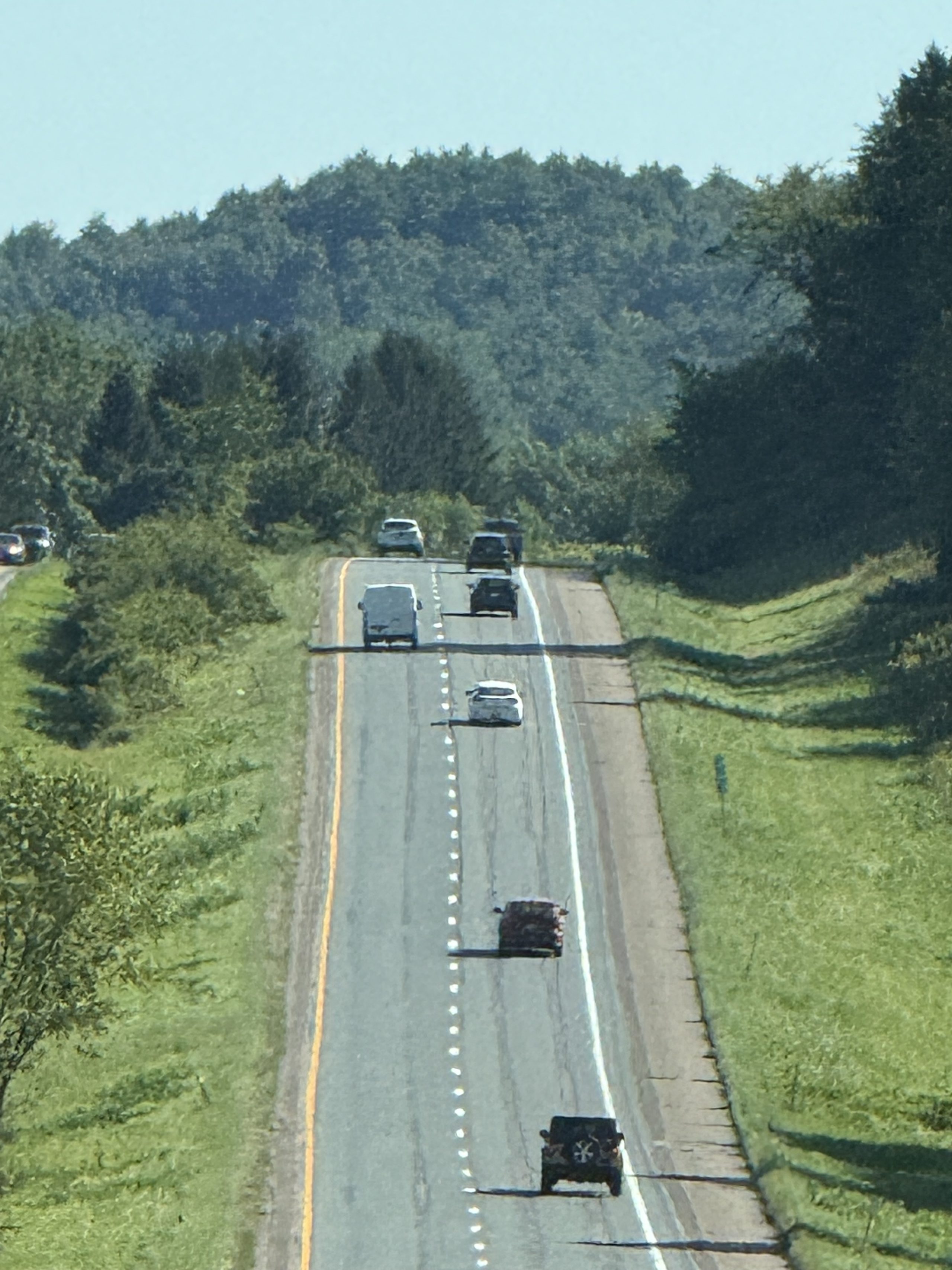
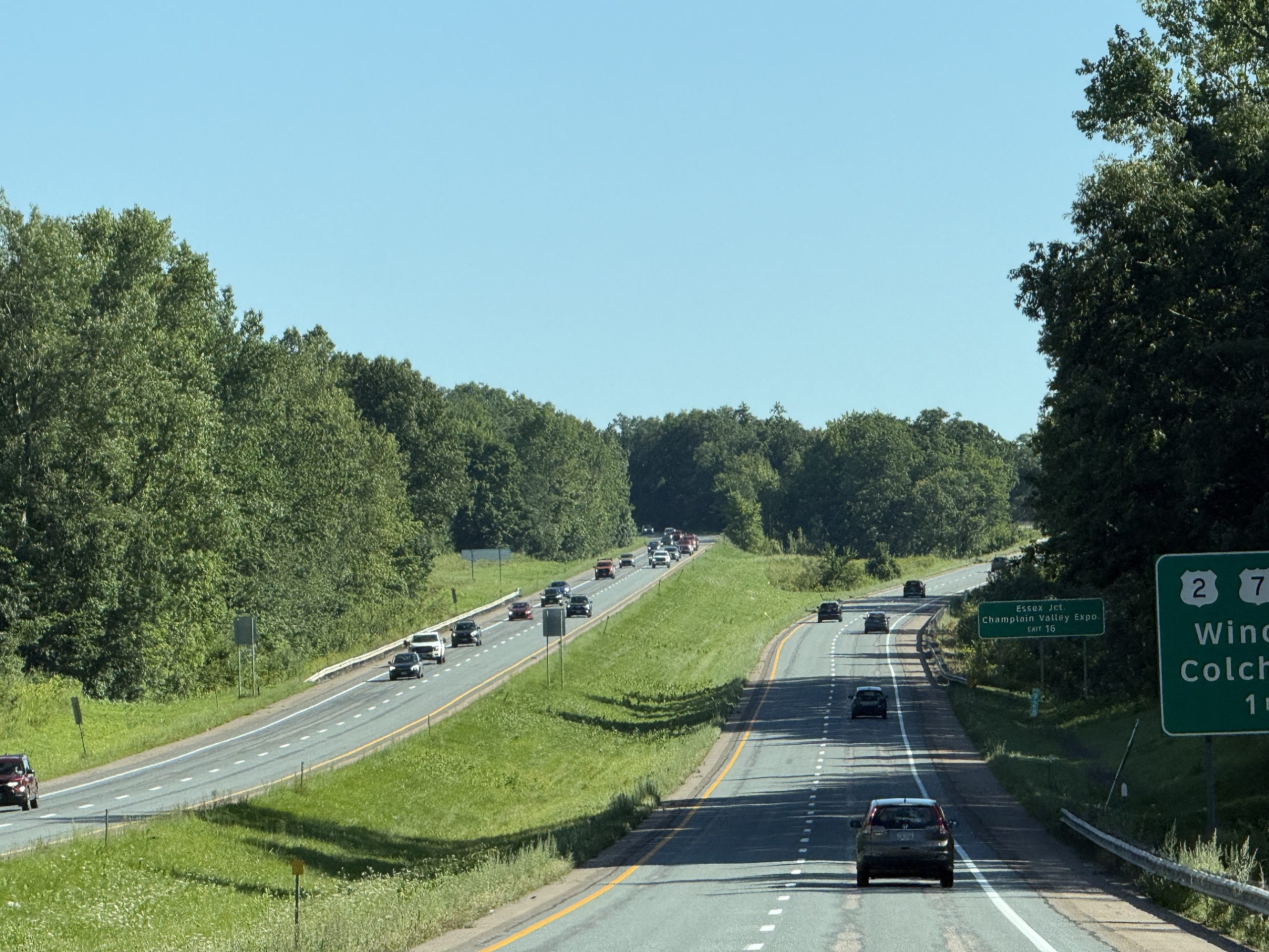
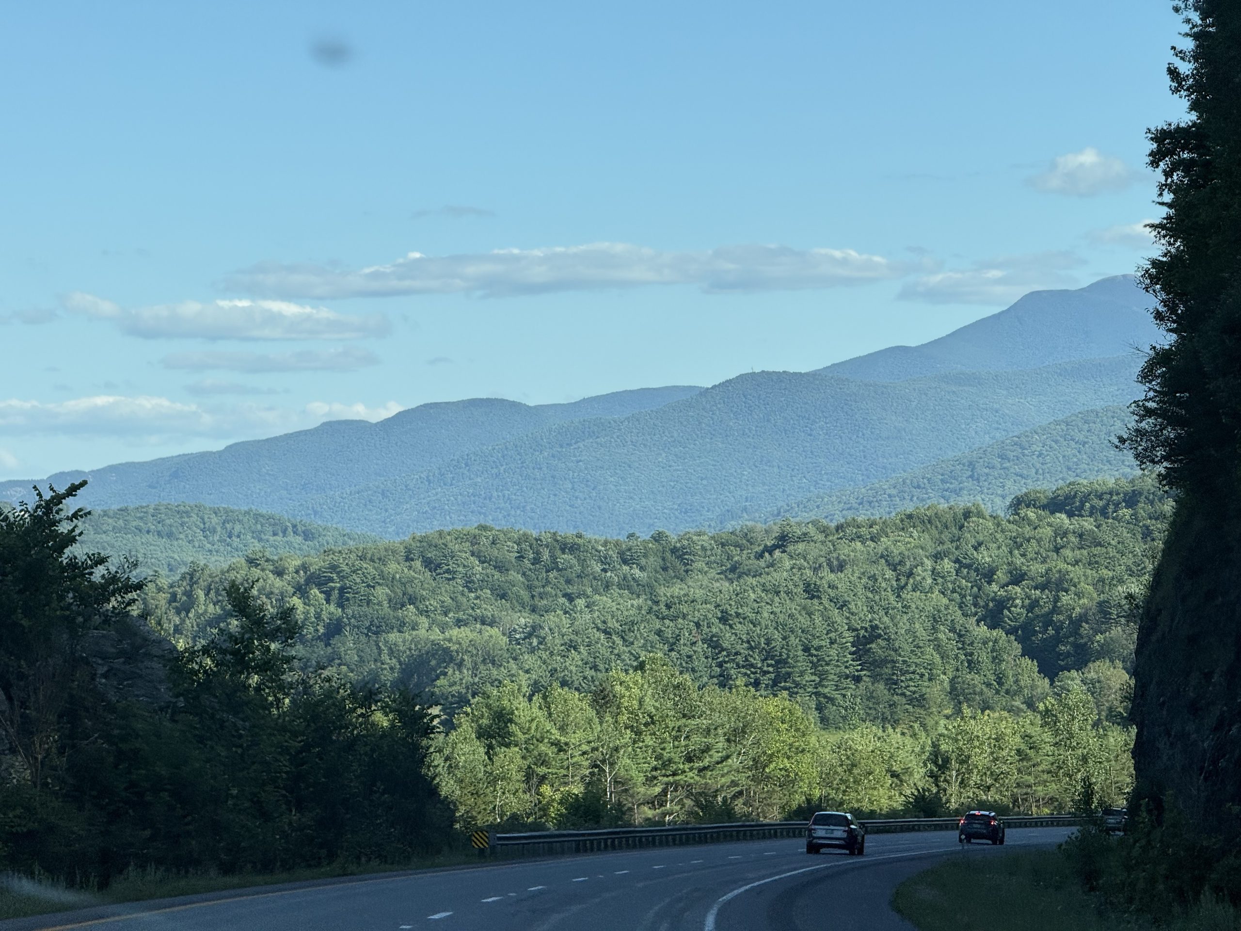
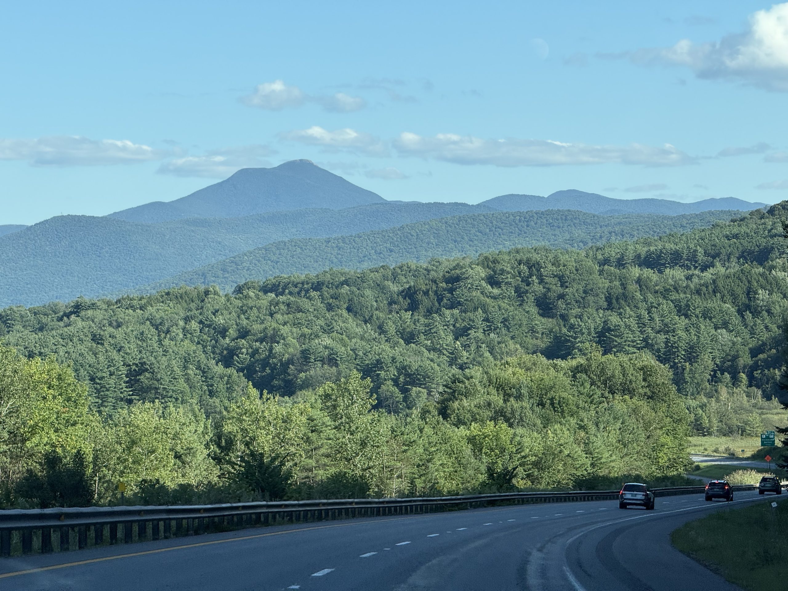
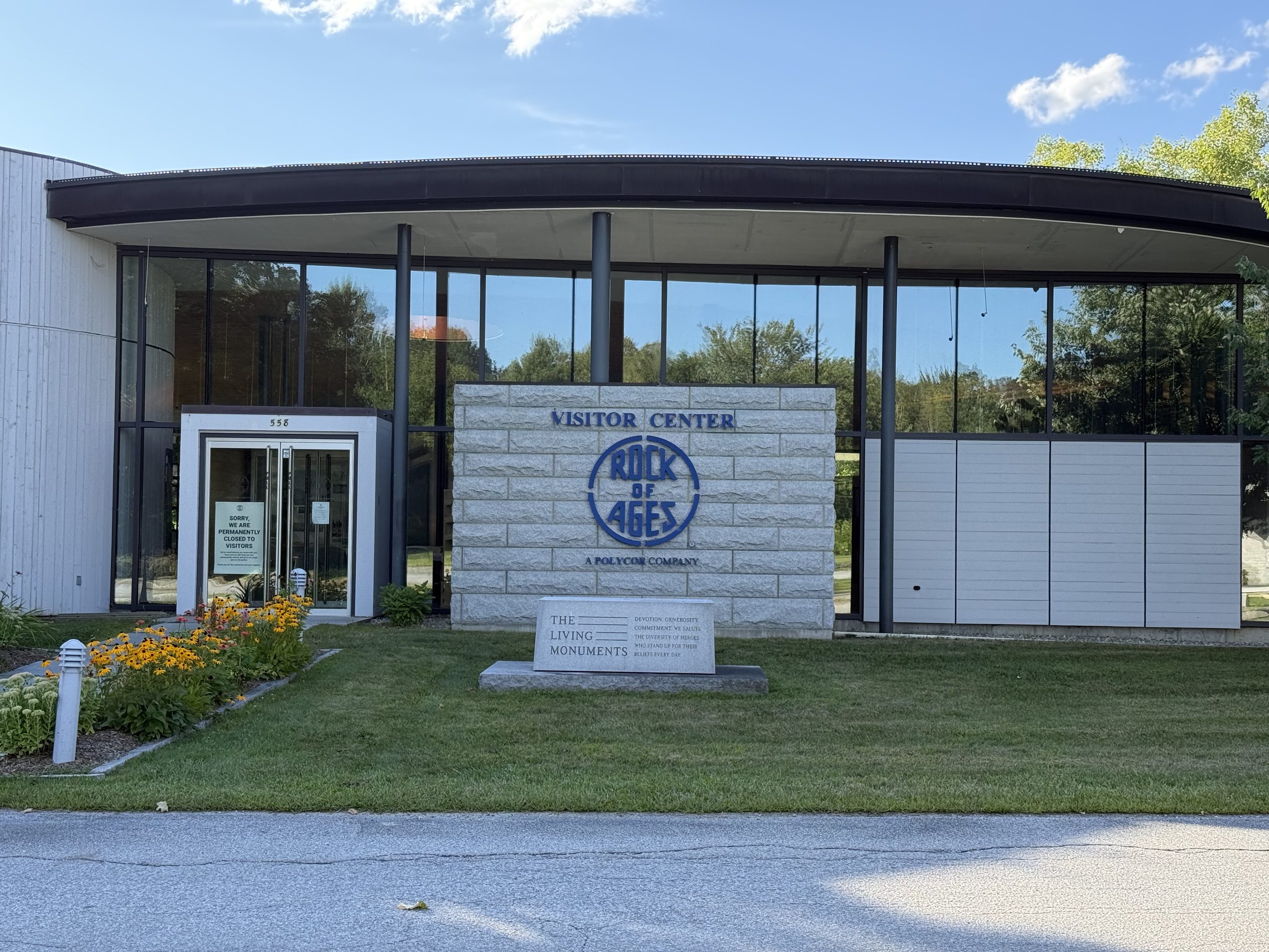
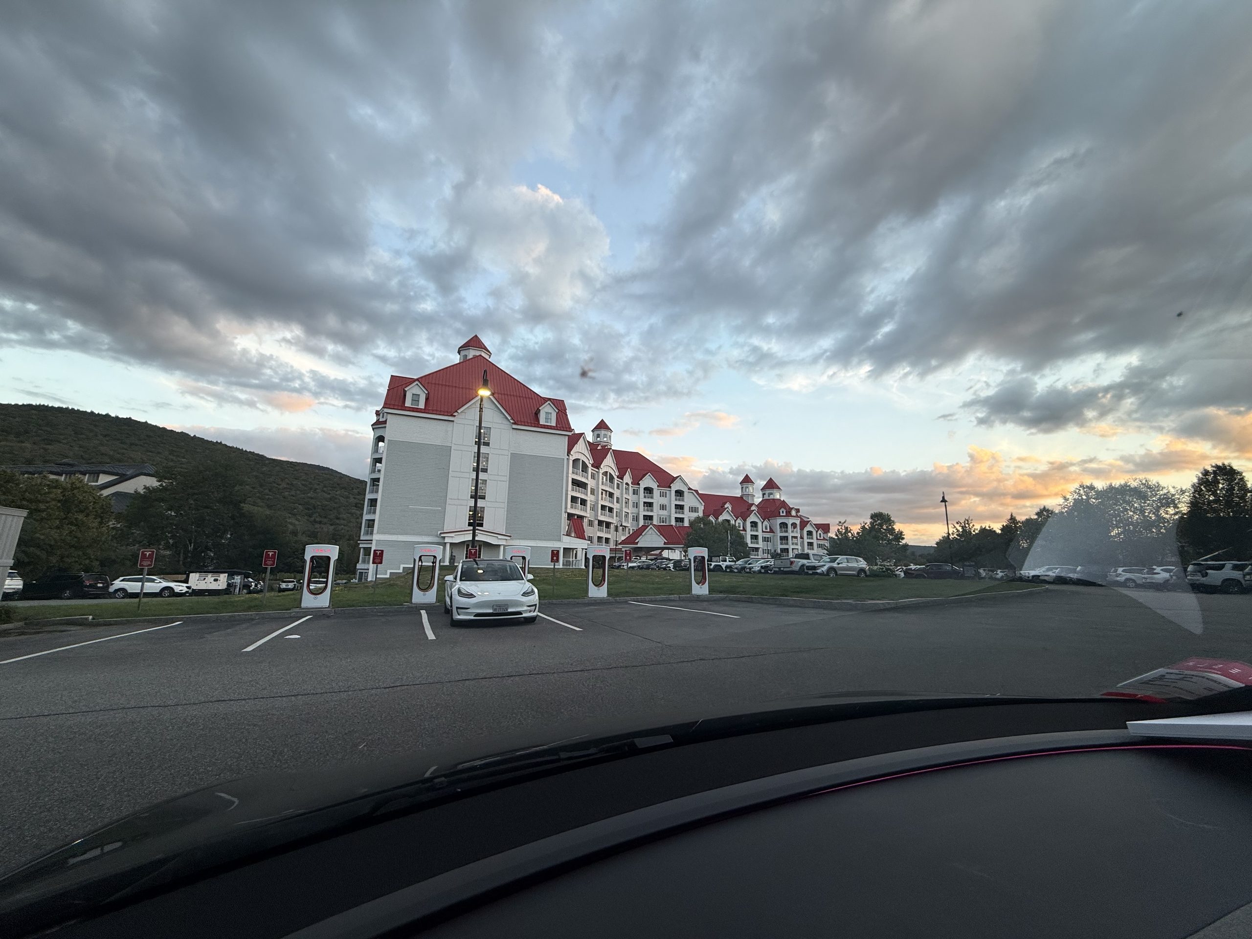
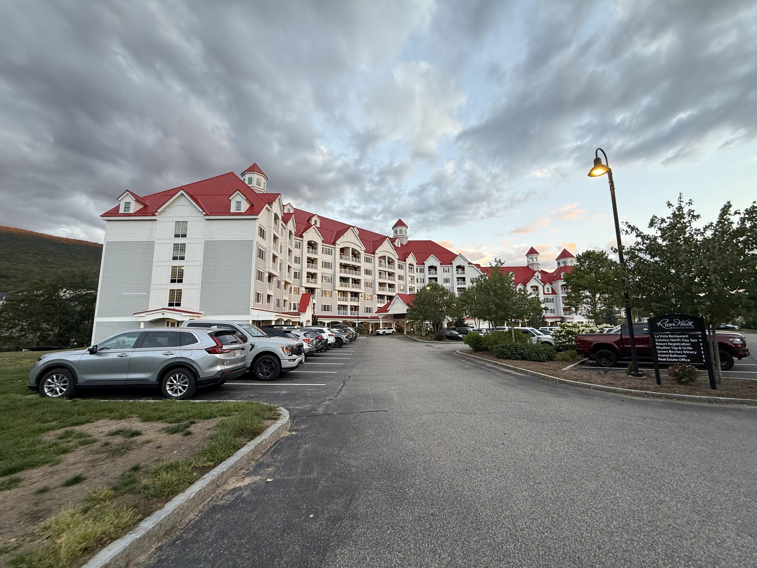
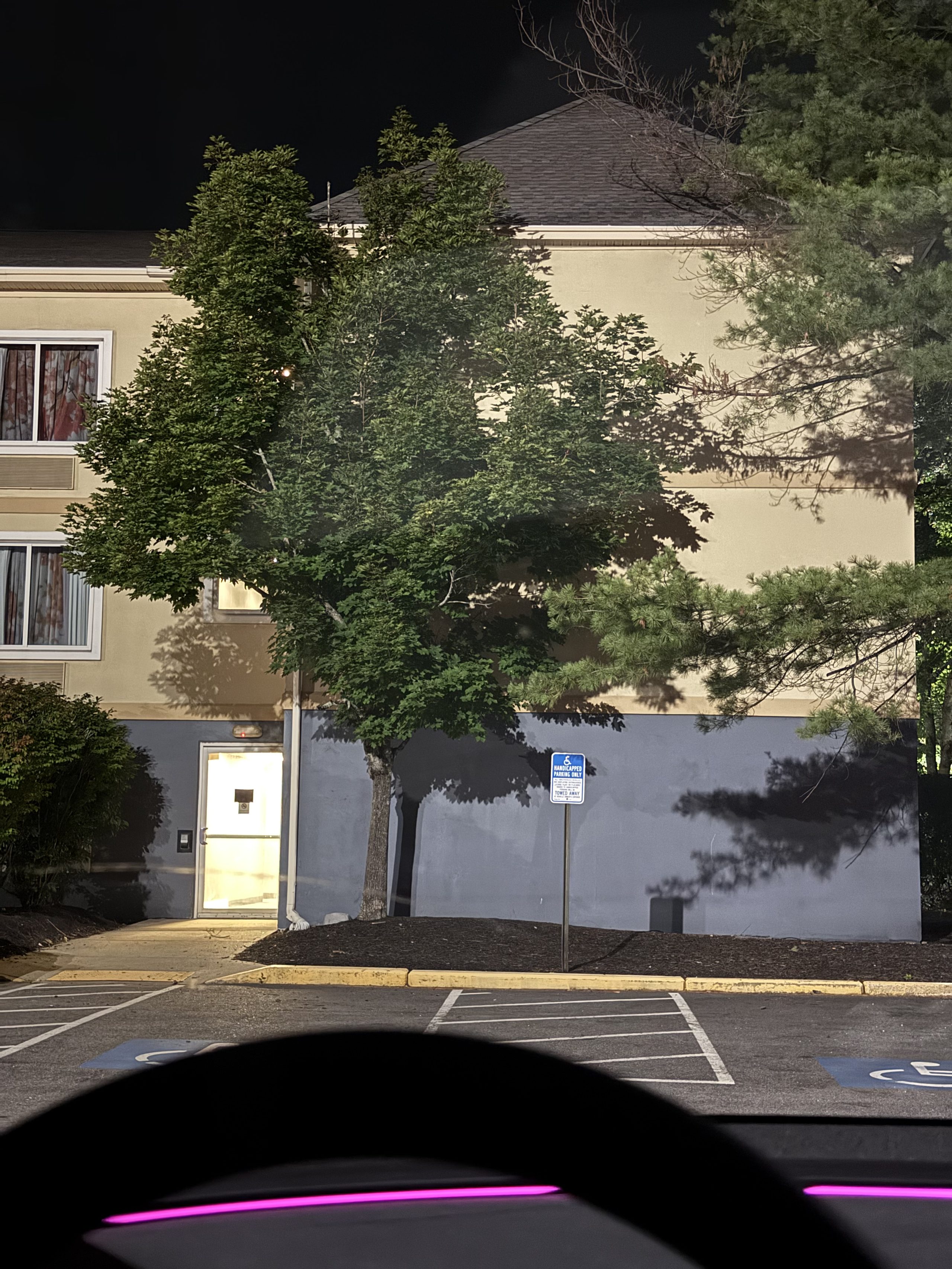
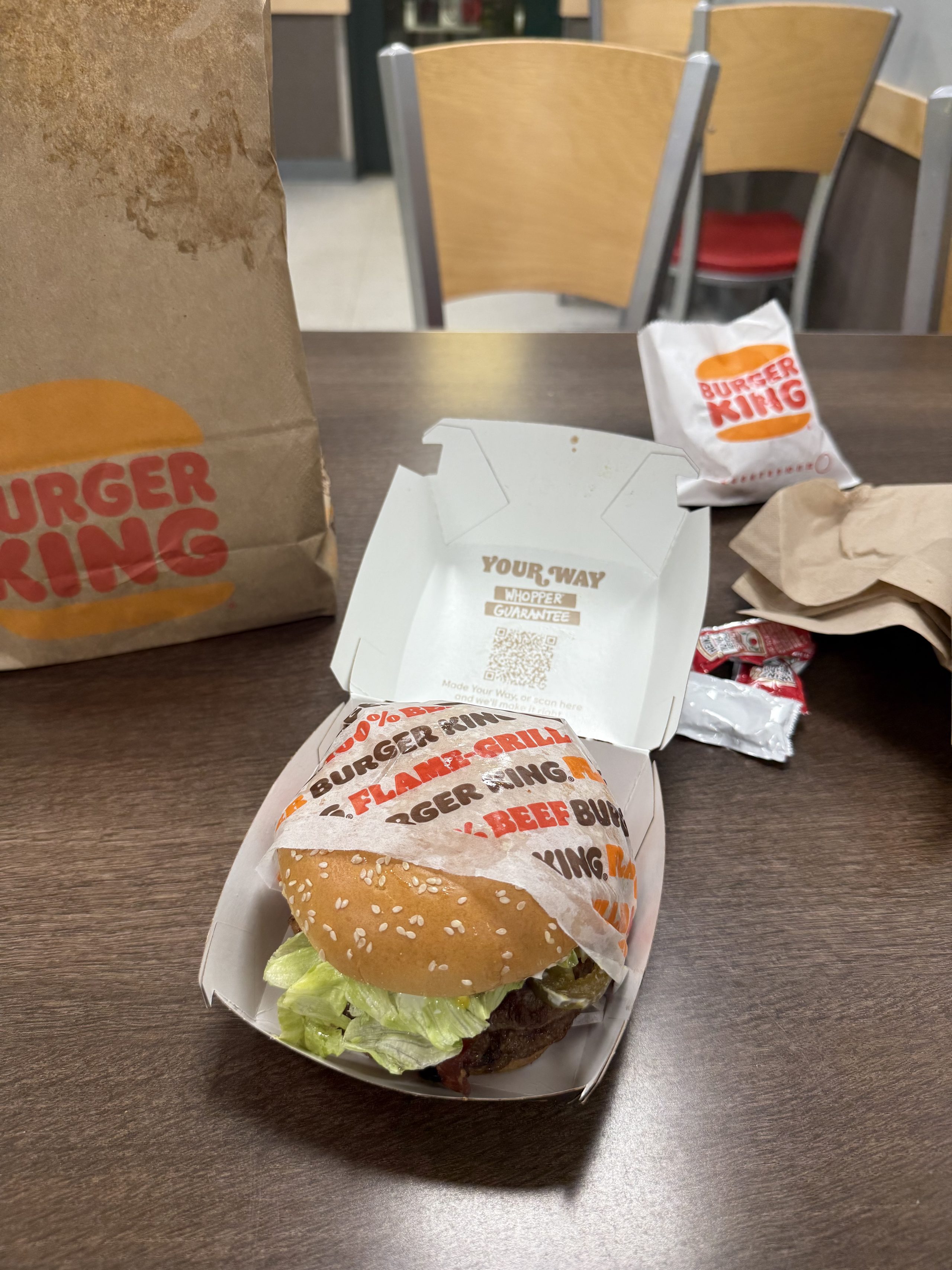
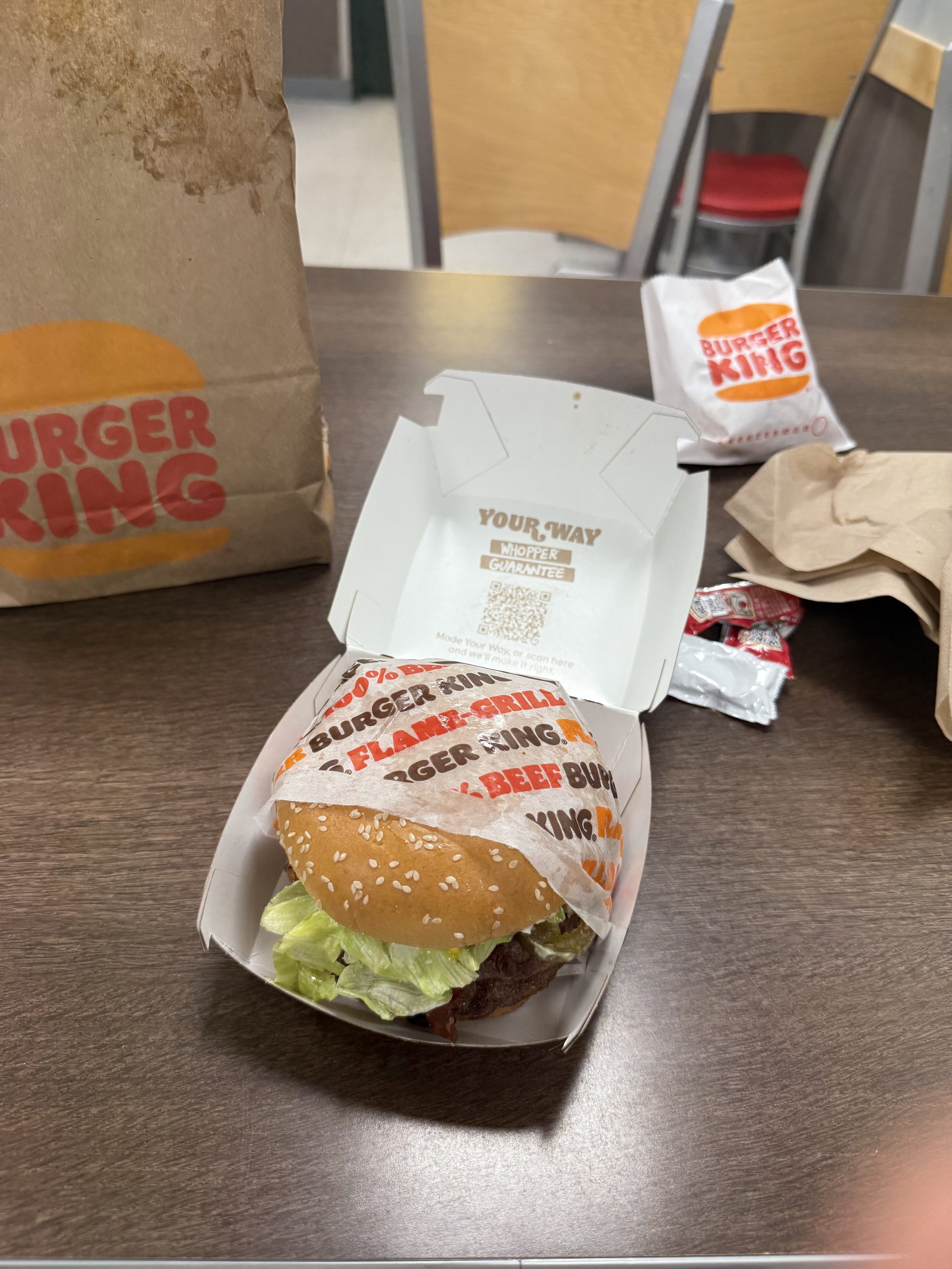
Departure day at Fish Creek: blue sky, birches, the lake — the week's best weather saved for goodbye.The Juniper facing the lake, tent still up — ten minutes later this is an empty clearing again.The road north out of the park, clouds rolled flat along the treeline.The Grand Isle–Plattsburgh ferry, seen from behind the wheel while boarding — the Juniper's first boat ride.Vermont's shore sliding by from the rail — a fifteen-minute boat that saves an hour of bridges.The life ring says Plattsburgh. Passengers watch the water; the water watches the far shore.Mid-crossing: lake, sky and far hills stacked in three shades of blue.Southbound along the Champlain Islands after landing — water on the right the whole way.A casual frame from US-2 on the islands: Lake Champlain on both sides of the road.Off the islands and into the hills: rock cuts and green walls along I-89.I-89 south past Burlington, counting down the green signs.An I-89 downgrade aimed straight at the main Green Mountain ridge — Vermont's best free scenery.The Rock of Ages visitor center, sign on the door: SORRY, WE ARE PERMANENTLY CLOSED TO VISITORS. The birth certificate of SOP rule #1, in the flesh.The granite marker out front reads The Living Monuments — fitting, except the living can't get in anymore.Crossing Vermont after the wasted detour — fortunately every road in this state counts as scenery.RiverWalk Resort at Loon Mountain: a rank of Superchargers under red roofs and turrets. Charging at Franconia's doorstep — an accidental preview of the Flume route home.Twenty minutes of charging while the sky burns from grey to gold — the White Mountains' apology.Past ten by Portland — day ends under a motel lot's lamp. The shower saga that followed is its own story (see SOP rule #2).The official period on a failed-plan day: Burger King before 2 AM, the box printed YOUR WAY. Nothing today went our way — but the burger was hot.The full scene: paper bag, ketchup packets, crumpled napkins. An empty restaurant, just us
🌐 360 live:Mid-lake on the ferry deck — car taking the boat!!! Turn around for the whole deck · drag to look around · tap 🧭 on a phone · all panoramas →
V · Acadia, entirely in fog
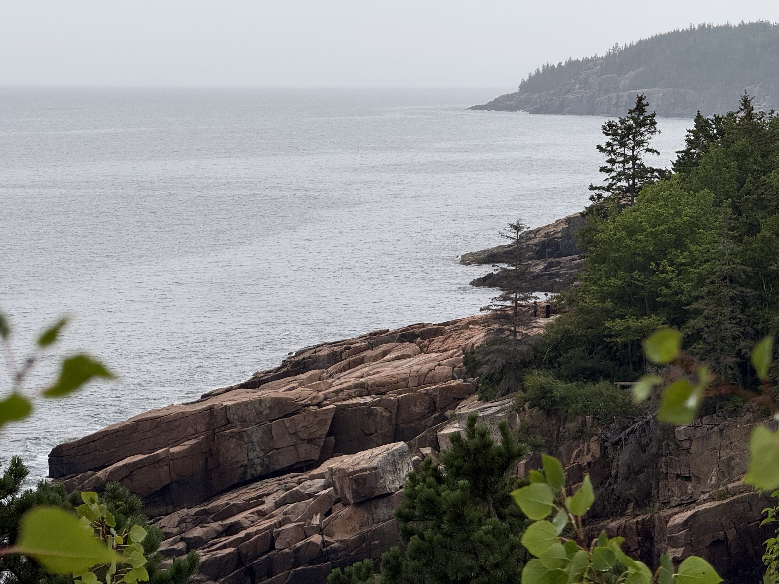
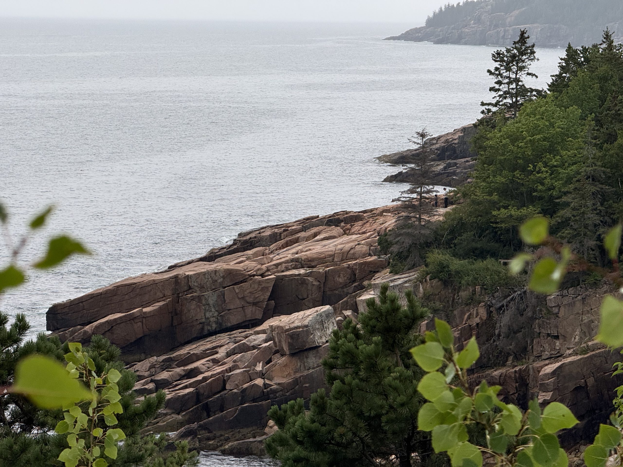
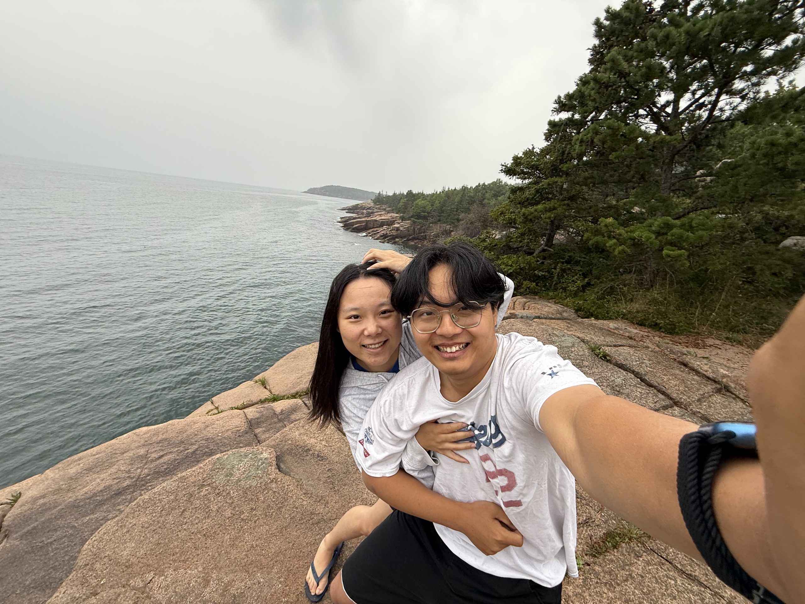
Heavy fog, all day: the Cadillac summit was a white wall, the coastline ran on imagination. But sea level showed mercy — pink granite fading in and out of the mist, and a gull catching a crab right in front of us. Regret is part of every trip; Acadia isn't going anywhere. (The fog also hatched a fun fact: the name Cadillac was fake to begin with.)
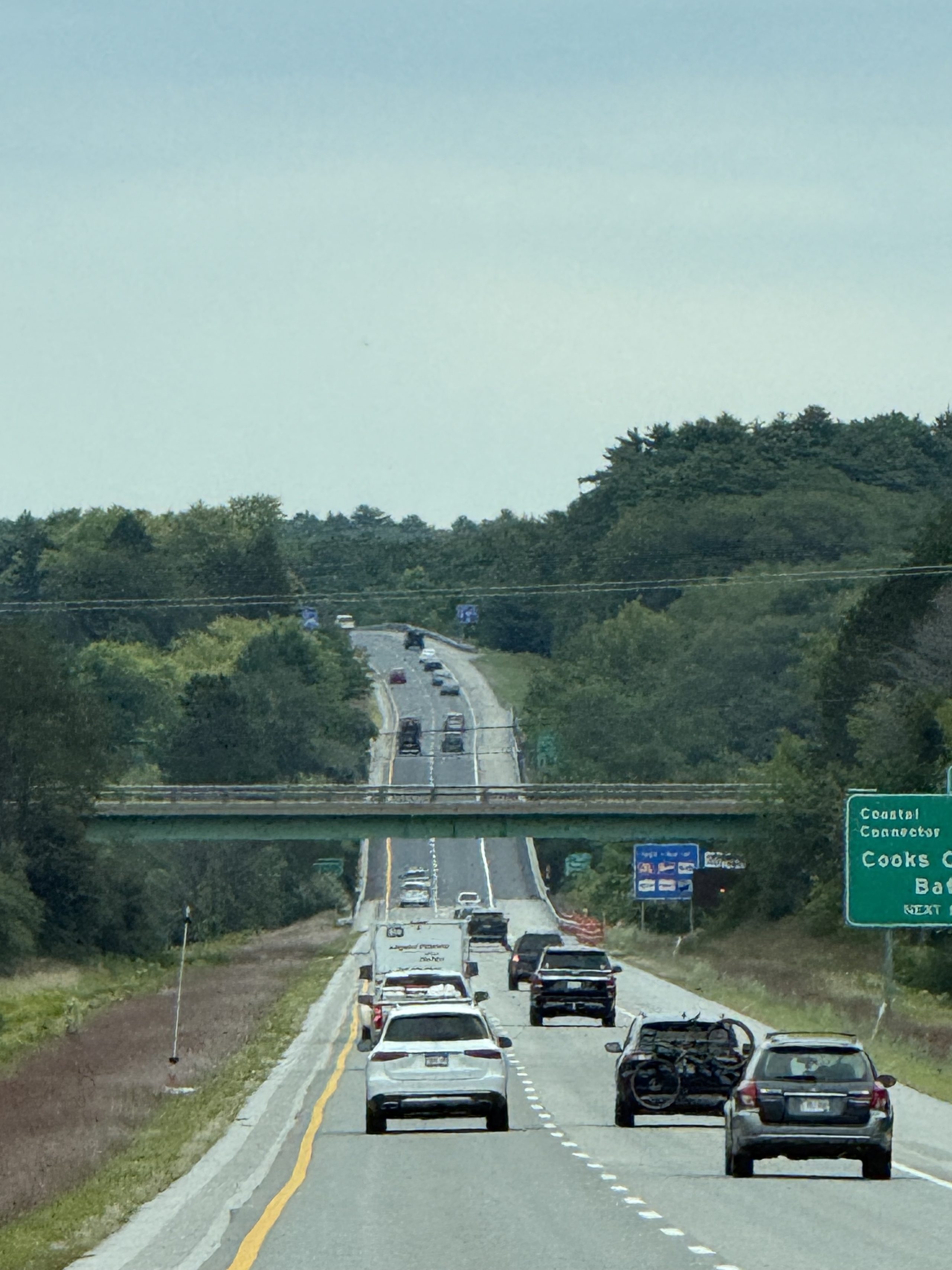
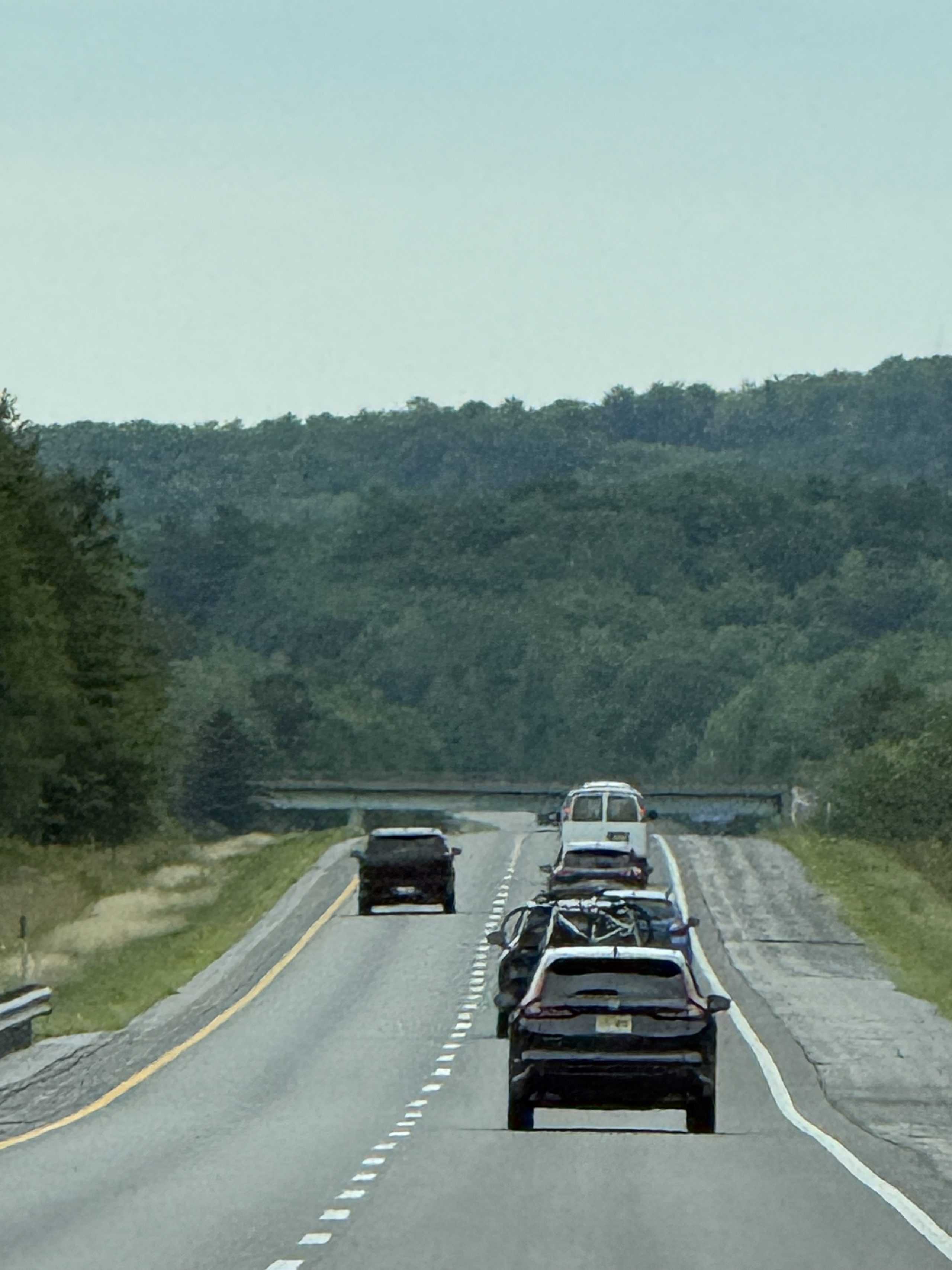
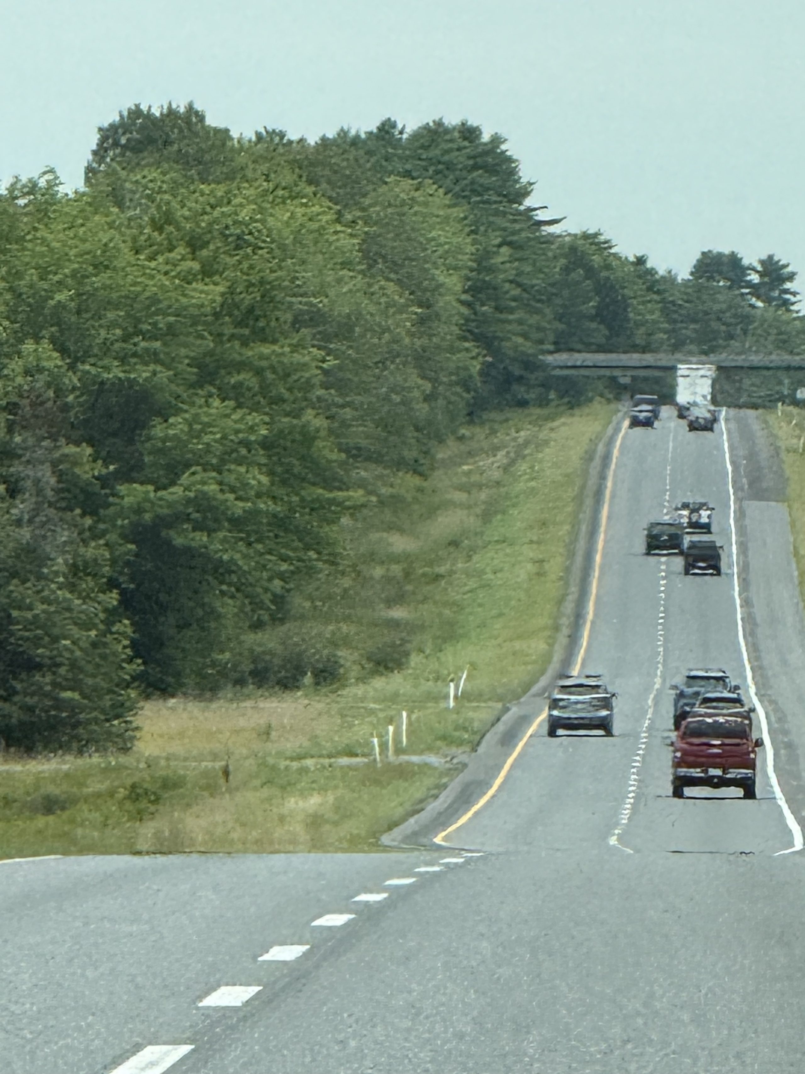
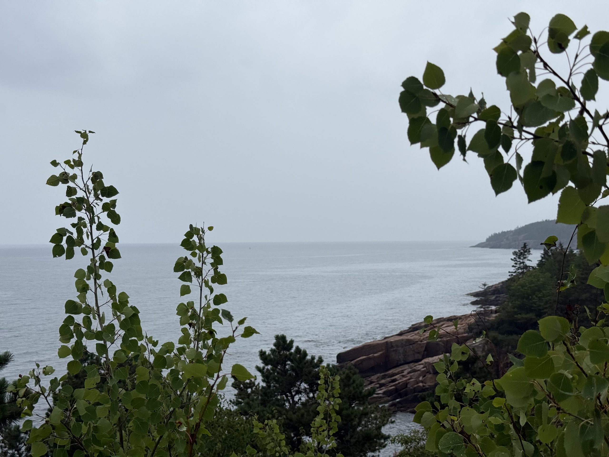
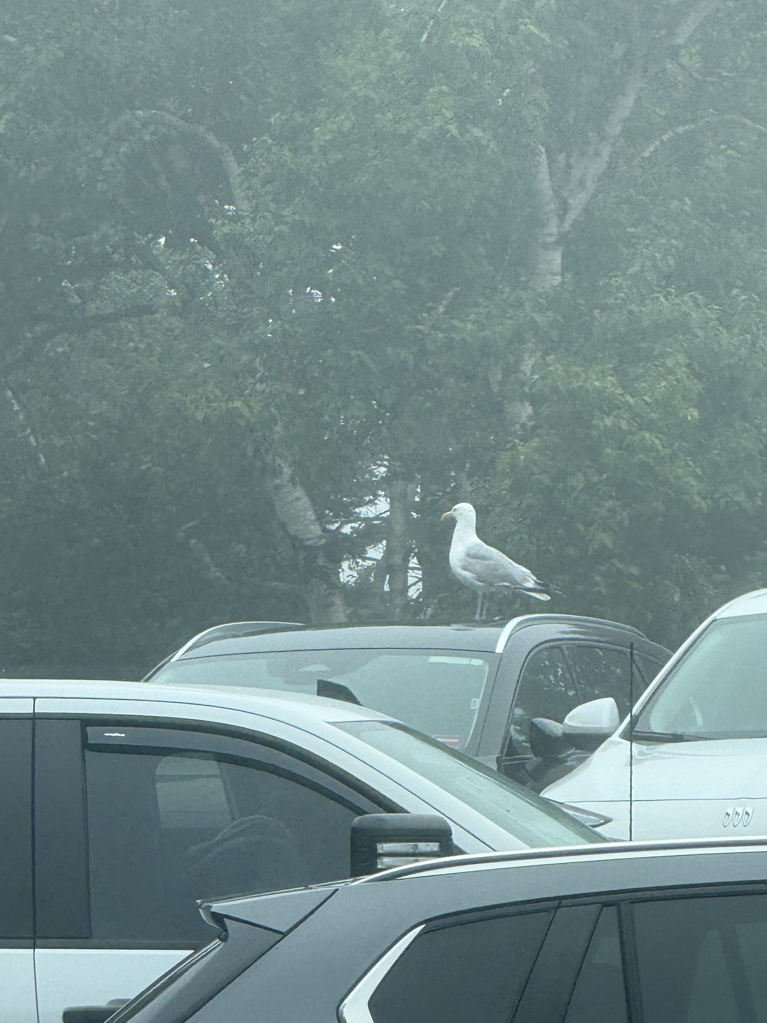
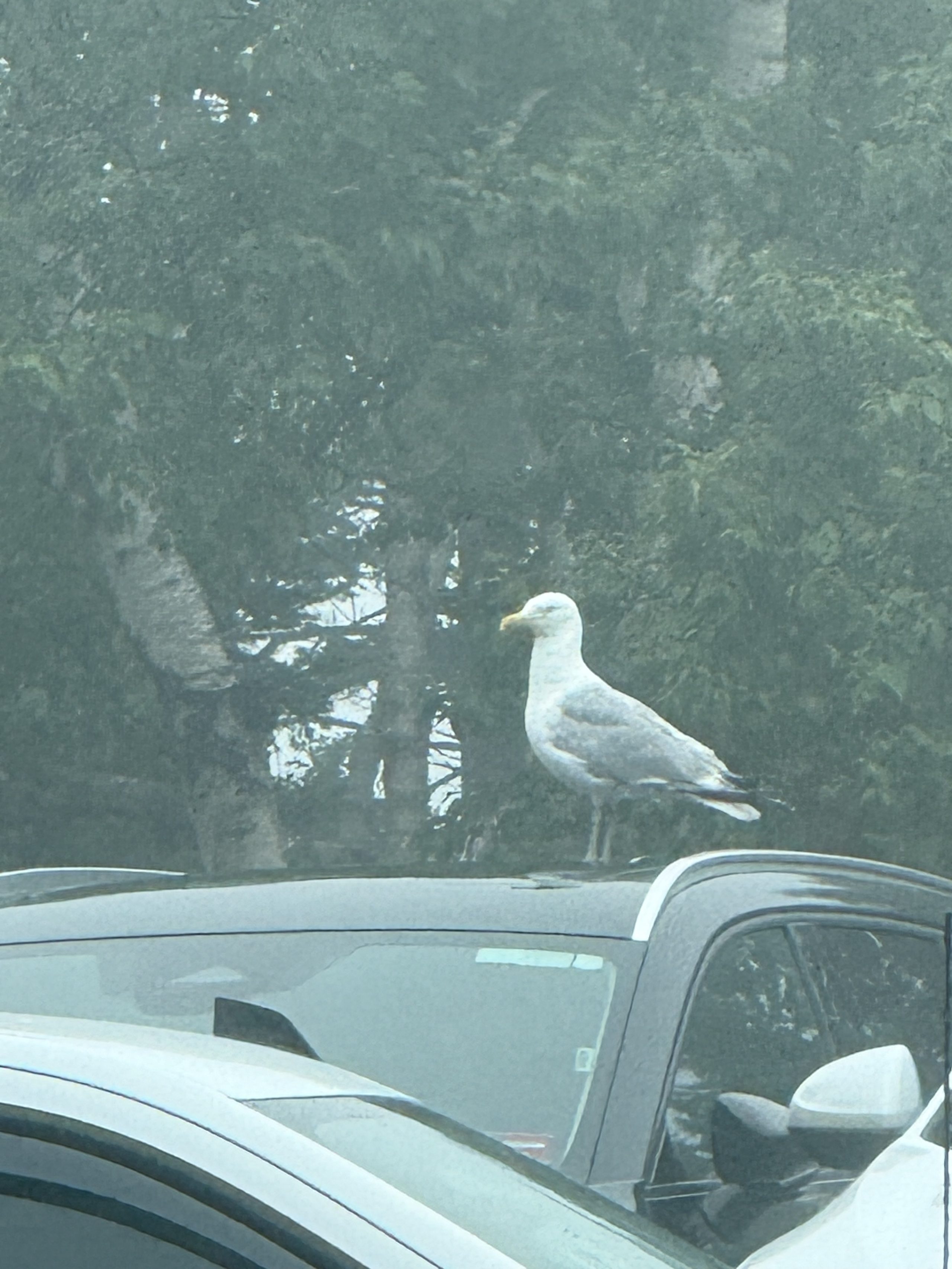
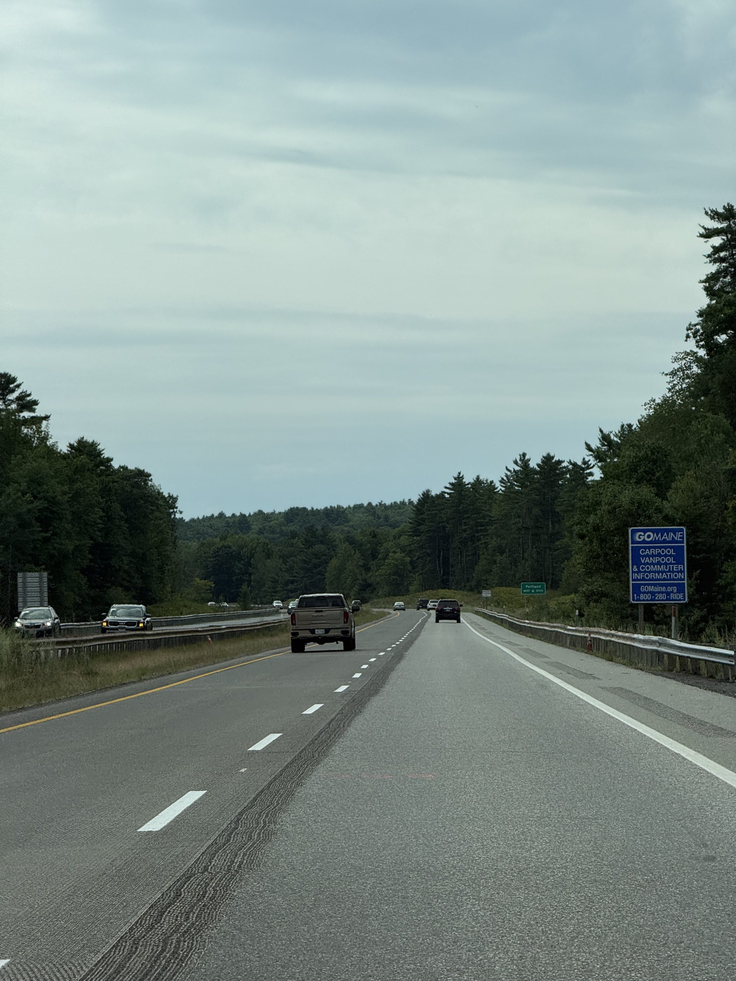
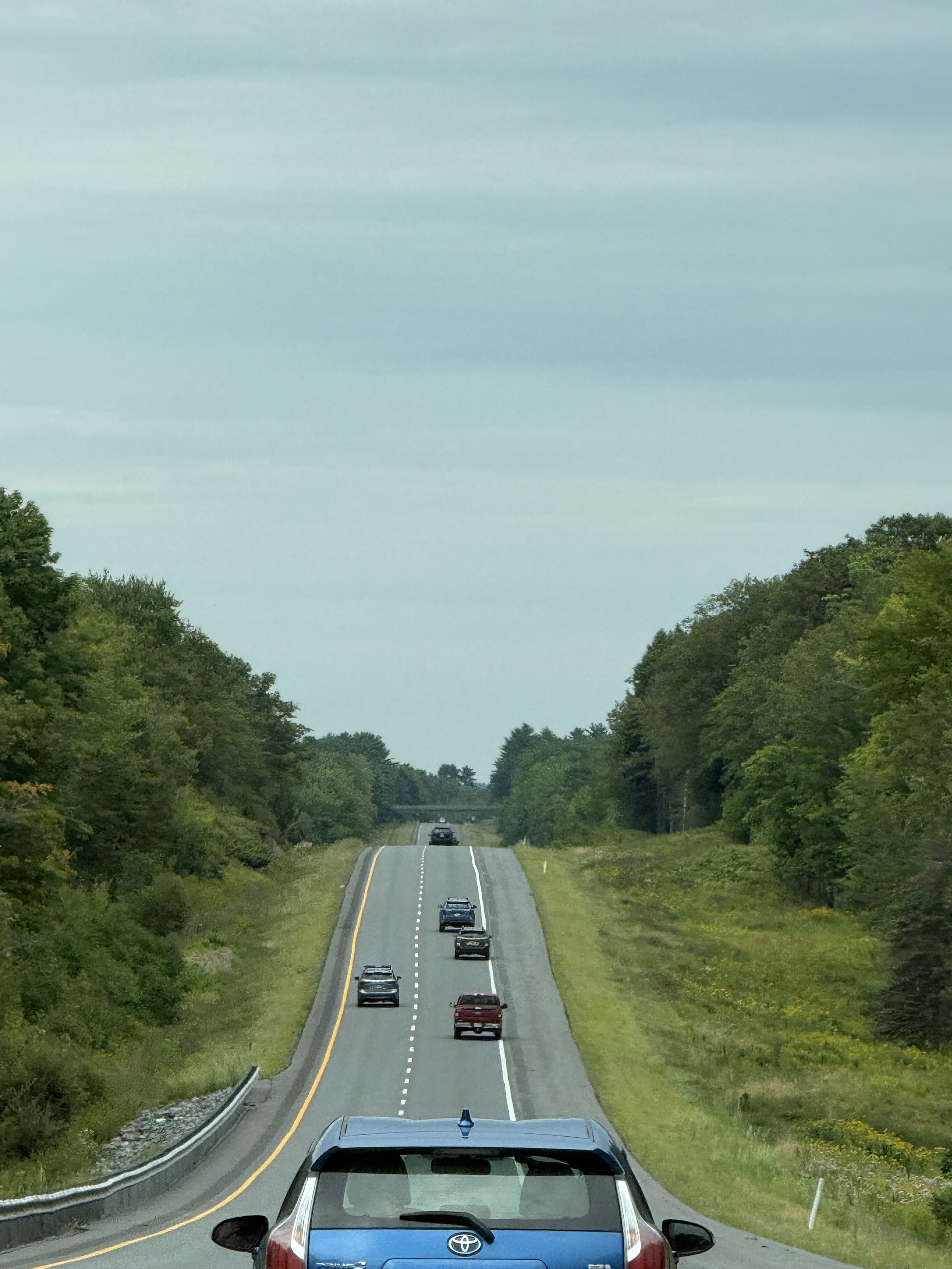
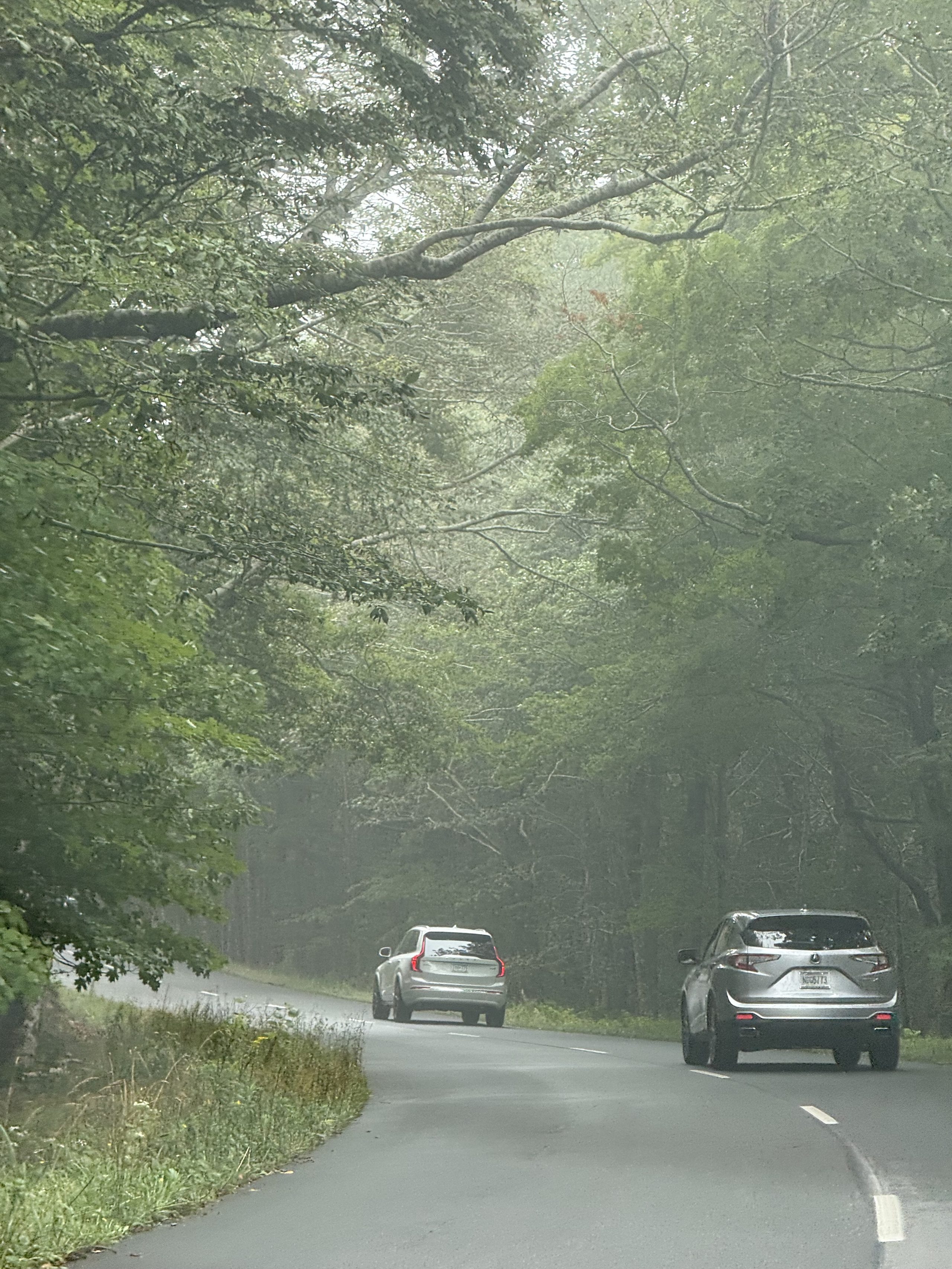
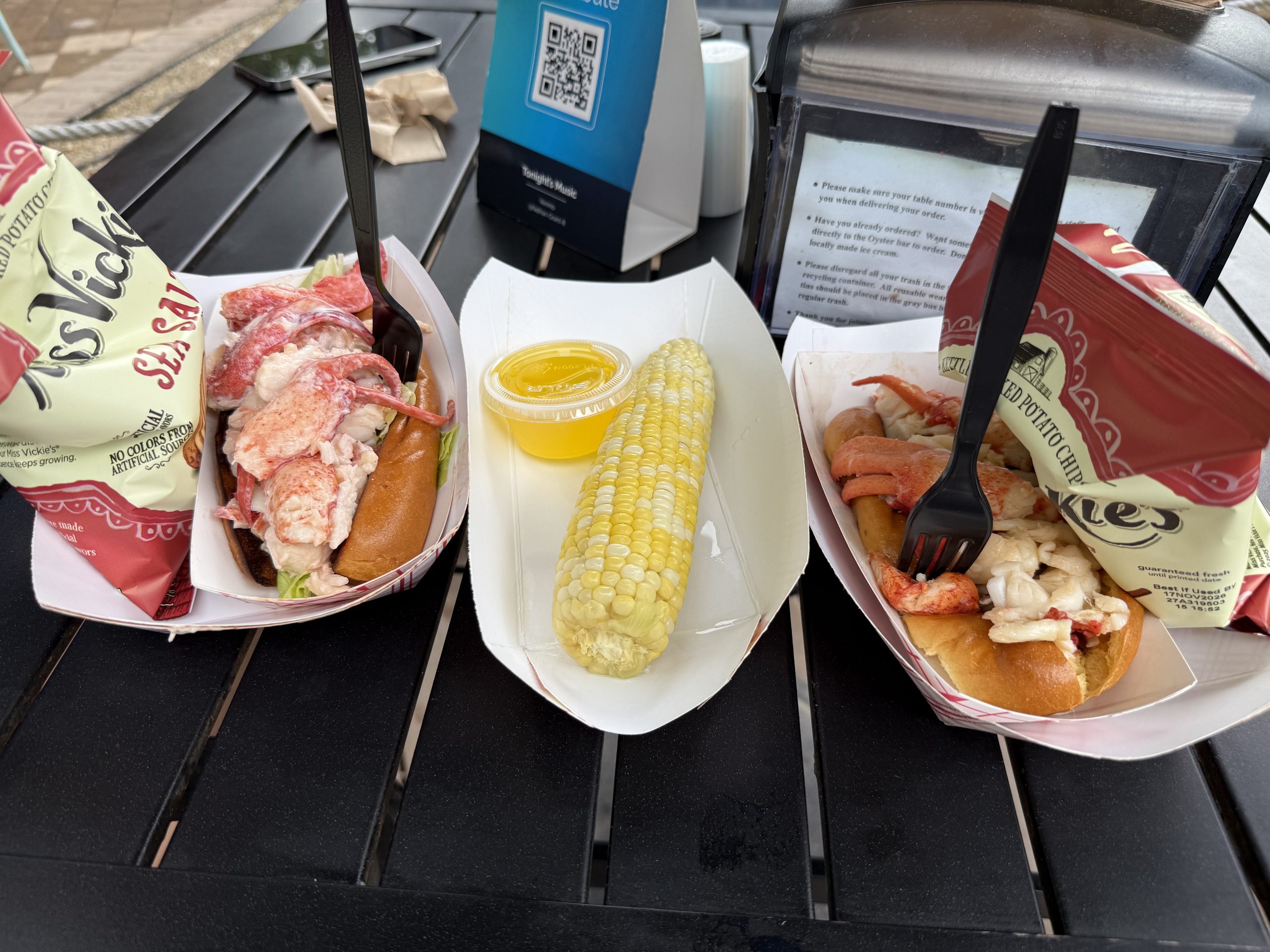
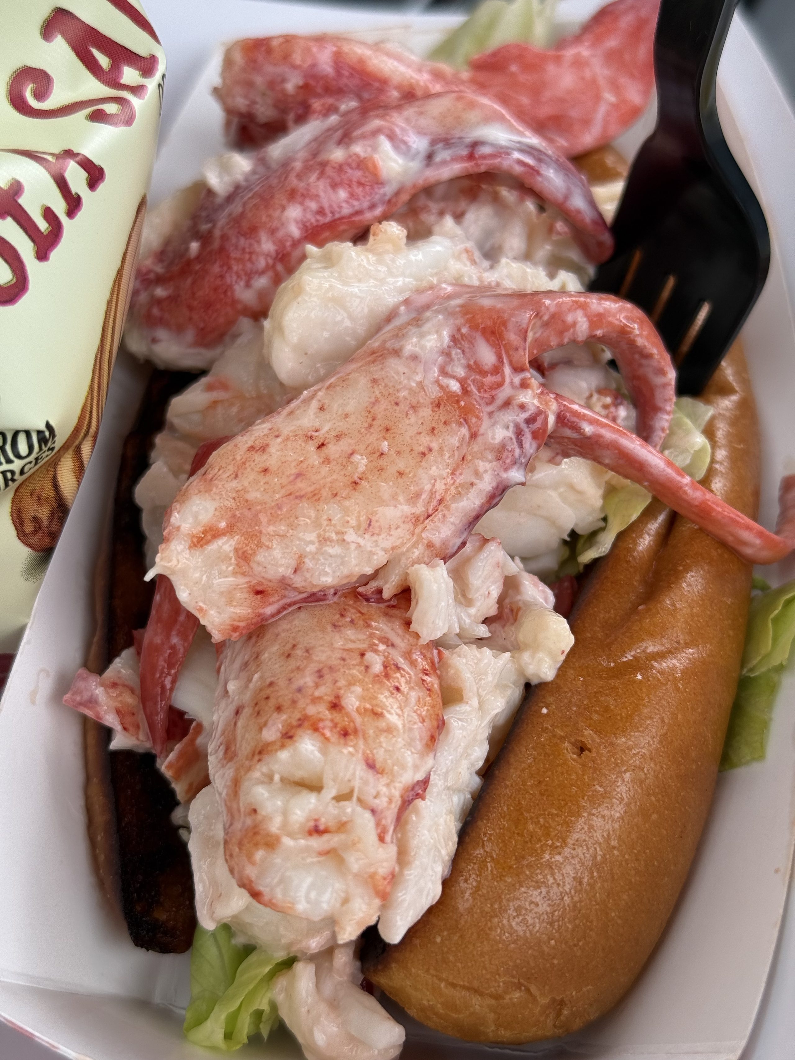
Resupplied and rolling: signs for Cooks Corner and Bath — into the belly of coastal Maine.The long swells of I-95 north — every crest threatens to toss the car to the sky.North of Augusta: the road rolling through forest, Acadia shrinking on the nav.The Cadillac summit road, live: visibility two lane-stripes deep. Video evidence for 'all fog no view makes Ray a doll boy.'The Ocean Path: the summit was a white wall, but sea level got mercy — pink granite fading in and out of the mist.Toward Otter Cliff: visibility exactly one rank of rocks deep — a national park that only loaded its first screen.A slow pan above Sand Beach: fog welding sea and sky into one pane of grey glass.No view to shoot, so we became it. The cove toward Sand Beach behind us.The wider take: the whole pink coastline photobombs. After the white wall on Cadillac, the coast gave an encore for free.Evening spoils, unboxed: two clamshells of Maine wild blueberries. This state grows 99% of America's crop; we secured 0.000001% of it.Sunday morning, the parking lot: a herring gull mounts the Juniper's roof for inspection. It wouldn't leave; starting the car felt rude.Close-up: from the roof the gull verified bumper, antenna, and human compliance, then departed satisfied.Northbound after the resupply, signs starting to count off Portland. Maine highways are always this palette: grey sky, deep green, one straight roadThe rollers of I-95 north: cars cresting one rise, the next waiting two kilometers on. Drive it long enough and it feels like being at seaAcadia's Park Loop Road: canopy closing over, mist in the gaps, the car ahead's tail lights the only warm color — the day's entire visibility budgetThe obligatory Maine move: butter-griddled split-top rolls heaped with cold mayo-dressed lobster, sweet corn and drawn butter. Delicious, and expensive — three hours later we found the supermarket lobster tank, and this meal retroactively became the control groupClose up: whole claw meat on top, tail underneath — Maine style (cold, mayo) rather than Connecticut style (warm, butter). It fits in one hand, and then it is over
🌐 360 live:The pink granite point — find the gull in the water with its fresh-caught crab · drag to look around · tap 🧭 on a phone · all panoramas →
🌐 360 live:The Cadillac summit lot — 360° of fog, the ticket’s entire contents · drag to look around · tap 🧭 on a phone · all panoramas →
VI · Lobster week at Moose Brook
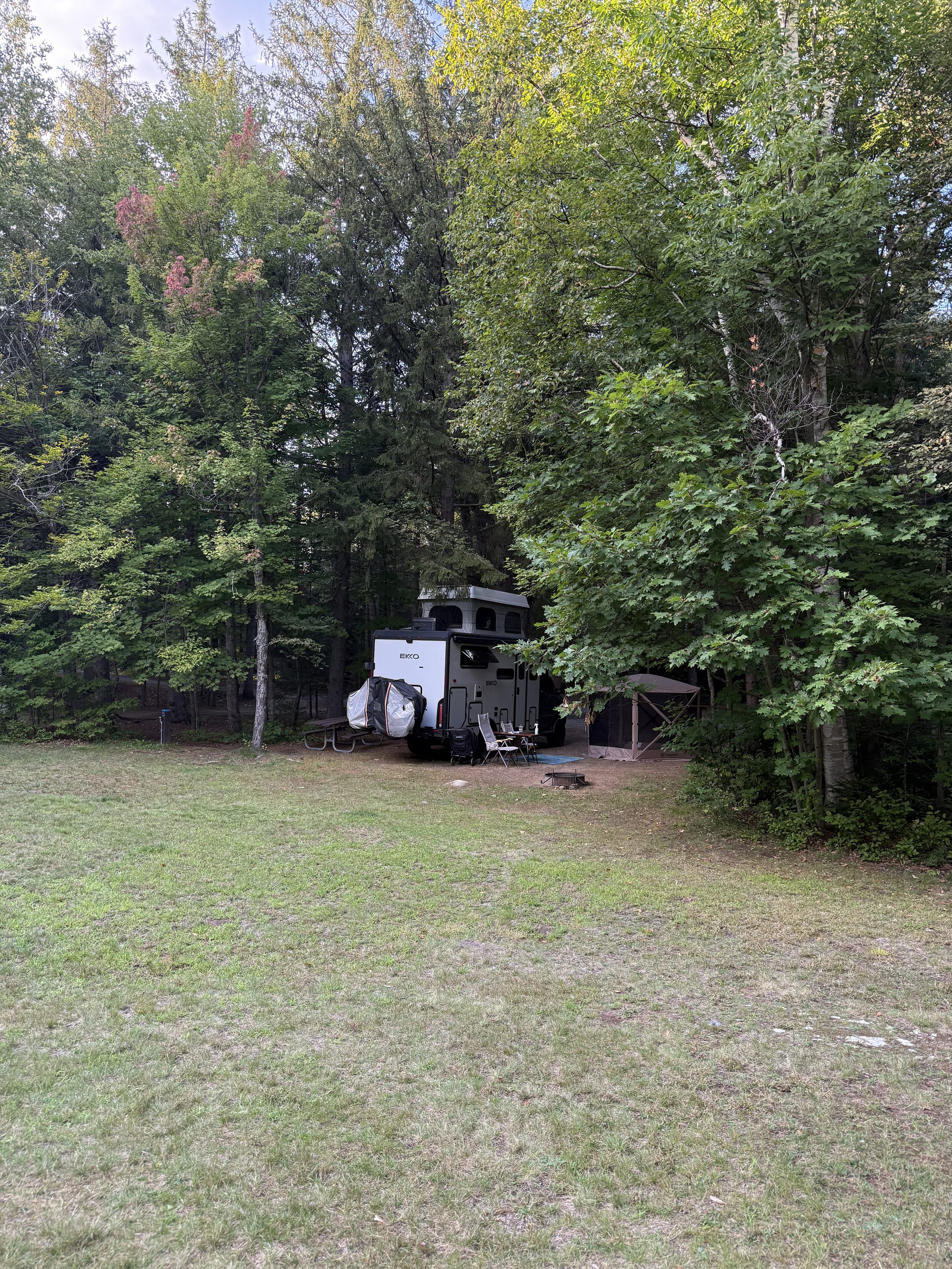
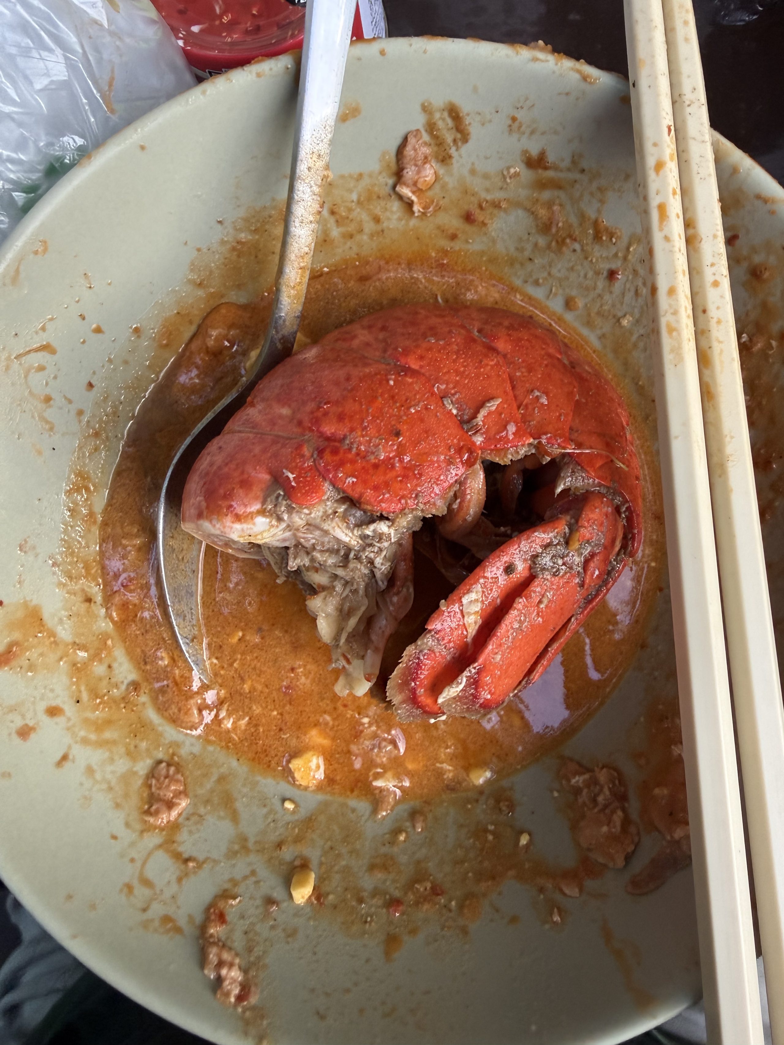
The new camp's clearing pushed Starlink to a near-perfect score — the compass rule's third home win. Fewer places this week: a project was under construction (the site's entire media infrastructure moved to the cloud), but the eating hit a trip high — Maine lobster from the supermarket tank meeting hotpot base hauled from the Hong Kong Market, three times in one week. Moose: still zero; the by-product of failing to find one was the week's best sunset.
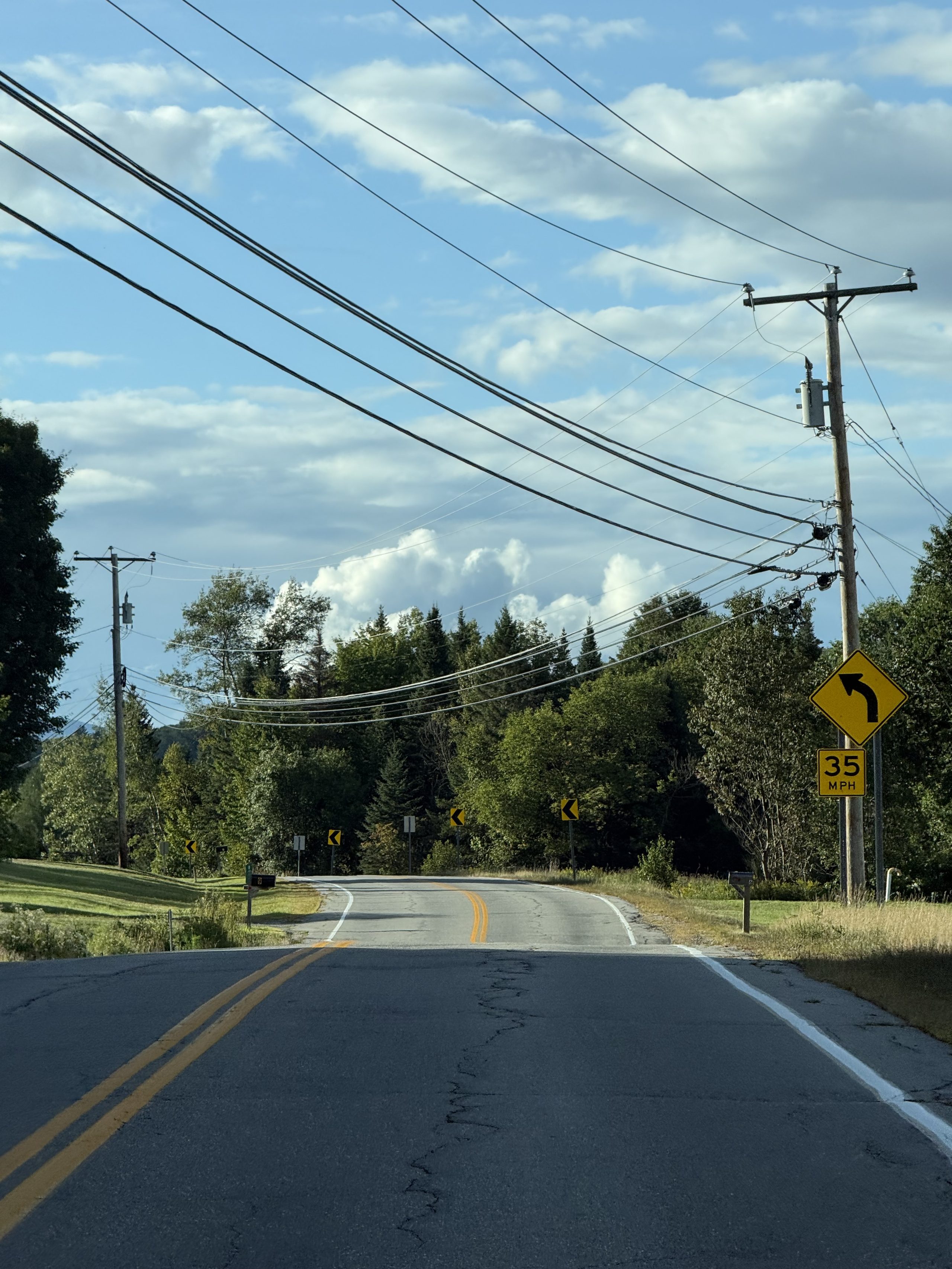
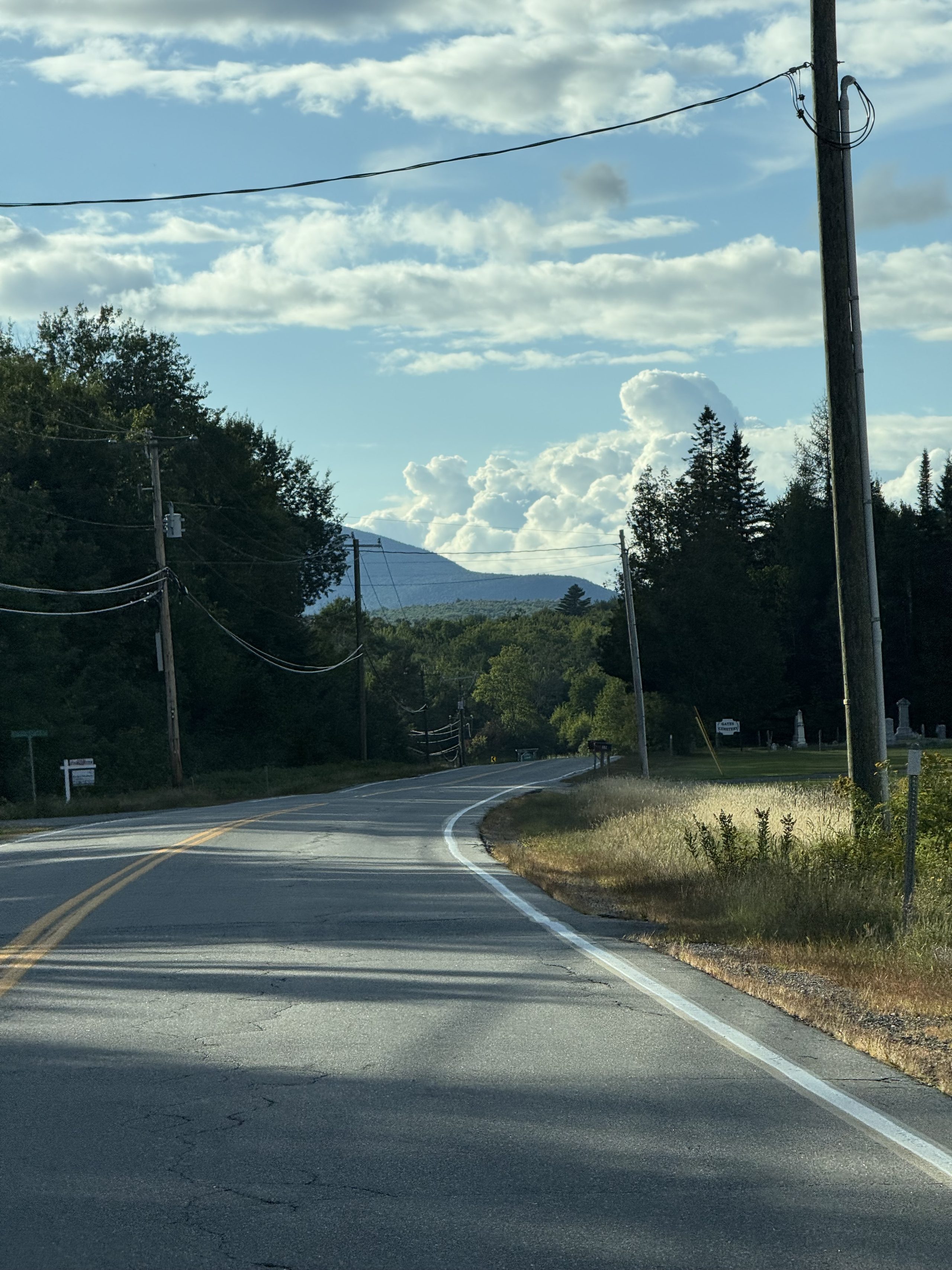
Westbound out of Acadia with the cloud deck lower than the road — the week's weather in one frame.Live lobsters in a supermarket tank at a startling price, Gulf of Maine, and they'll steam it for free. For comparison: a lobster roll costs several times more and disappears in one hand. This sign rewrote the next five days of menus.Rolling into Gorham as the light goes: a Mustang ahead, peach and grey overhead.A whole row of RVs for sale with the sun leaking through a seam in the cloud — White Mountain dusk always gilds the edges first.The sun wedged between two cloud layers and burned for about three minutes, then quit. Stopping for it was correct.The Gorham strip on a resupply run, giant cumulus parked on the ridge — the White Mountains' default summer sky.A cat sitting behind the screen of the next rig, keeping watch on our site every single day since we arrived.22:27 the night of Mt Washington: a harvestman climbs the Juniper's door — the literal protagonist of Fun Fact #3. We researched it, published it, and the subject came to review the manuscript.This patch of grass is what saved the week: wide-open northern sky, Starlink holding near 100% ping success. The compass rule's third home win.Maine lobster, dropped into hotpot base from the Hong Kong Market — two unrelated great traditions meeting for the first time in a camp pot. Verdict: it works.In the pot at once: lobster tail, napa cabbage, sweet corn, luncheon meat. Walmart lobster tails — a pair for less than one lobster roll, and this pot feeds two. We ate lobster three times this week.Driving north in the evening: empty road, low light, 35 mph — textbook moose hour.The standard composition of a northern back road: utility poles, a cemetery, one rounded mountain at the far end.Another curve, another mountain. We drove this road a long time and met exactly zero moose.Still zero moose. But a roadside meadow on the way back set the whole sky on fire — the week's best sunset, a by-product of failing to find a moose.
VII · Mt Washington, under the lid
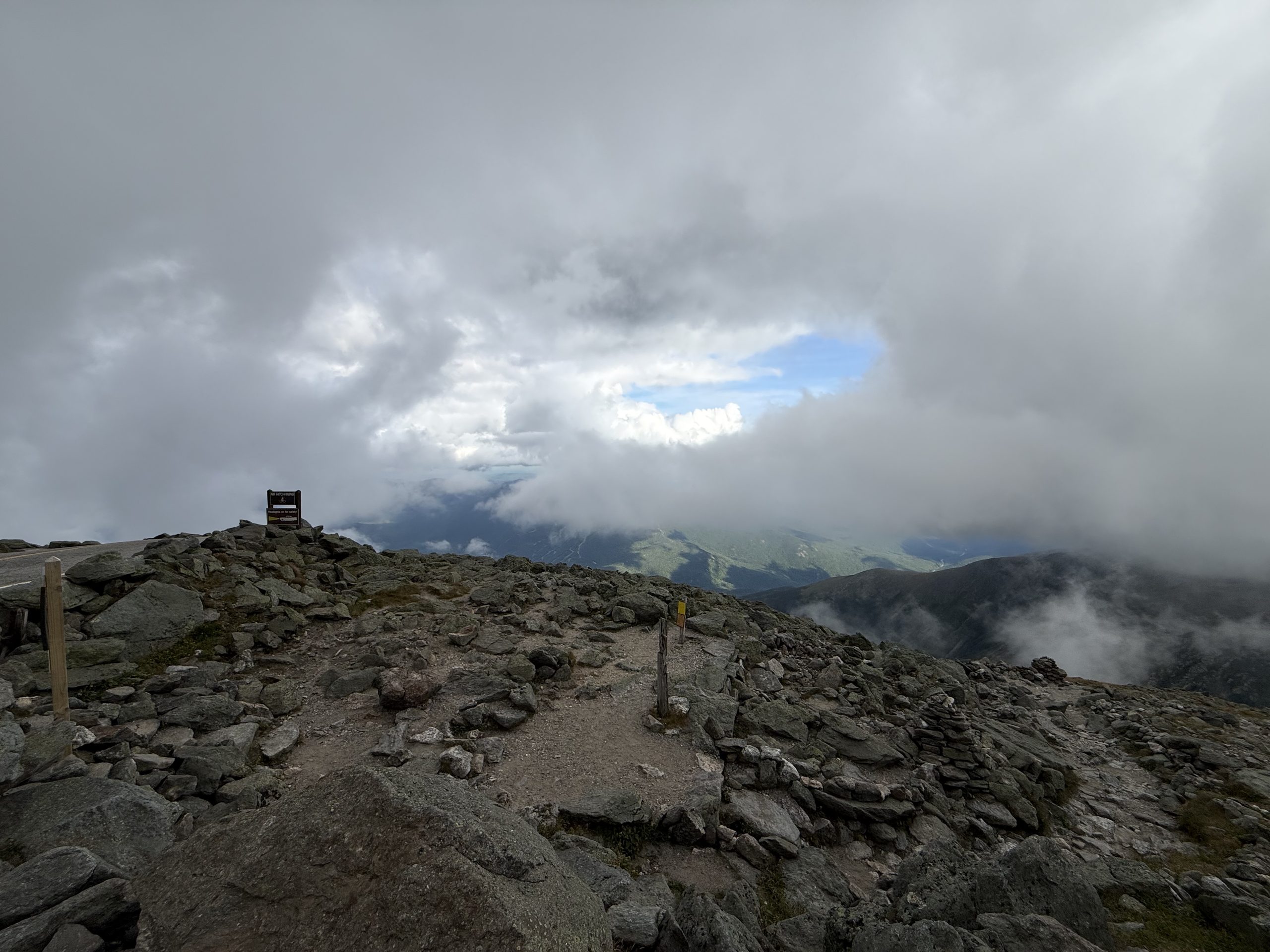
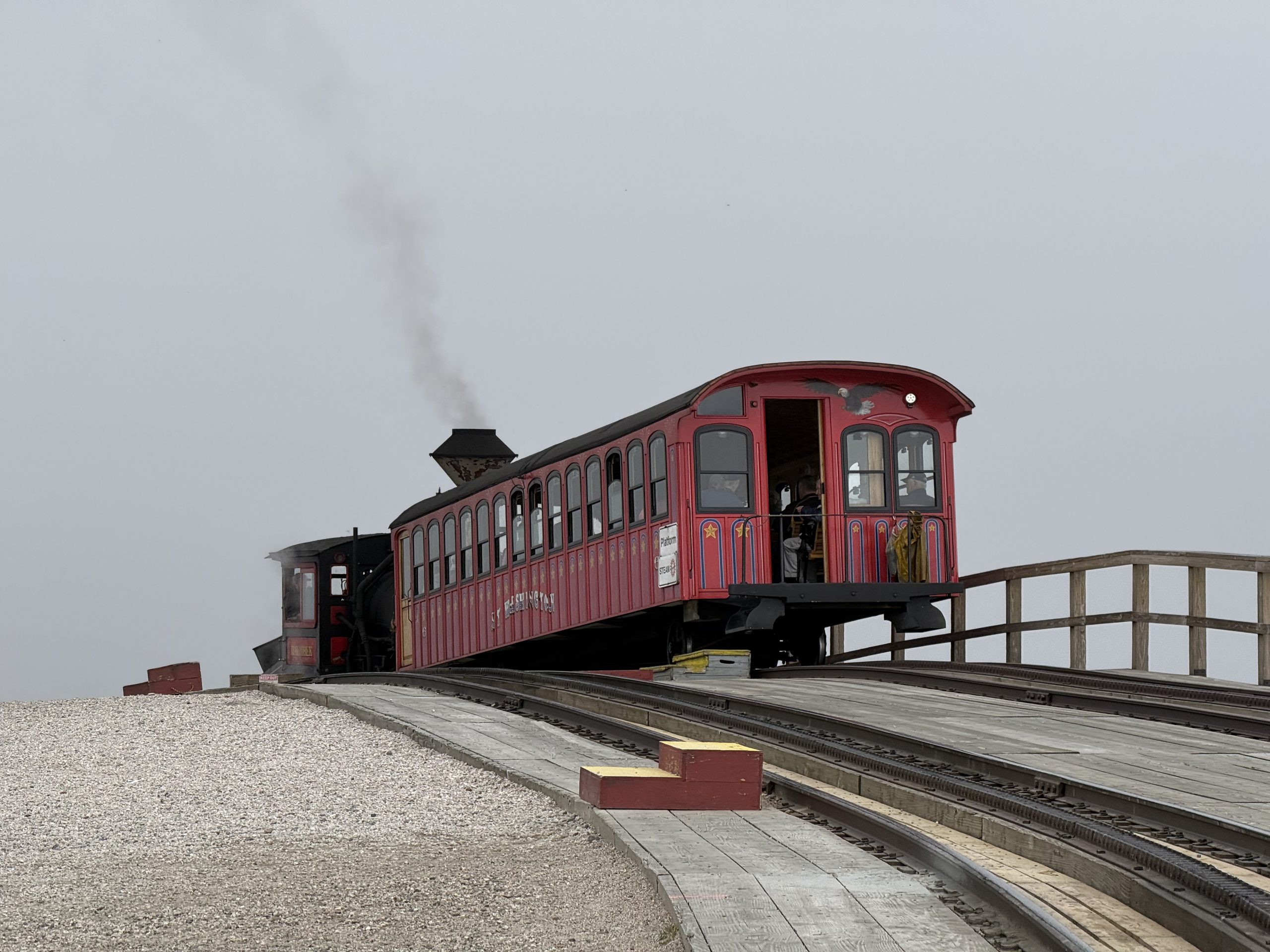
The Northeast's high point. This fog had learned manners: a lid, not a wall — everything below the deck wide open, the Presidential Range lined up for photos; the last three hundred meters belonged to the cloud. The summit's consolation was a coal-fired steam train materializing out of the white: the Cog Railway, running since 1869, the world's first mountain rack railway. Late August, down jackets on top.
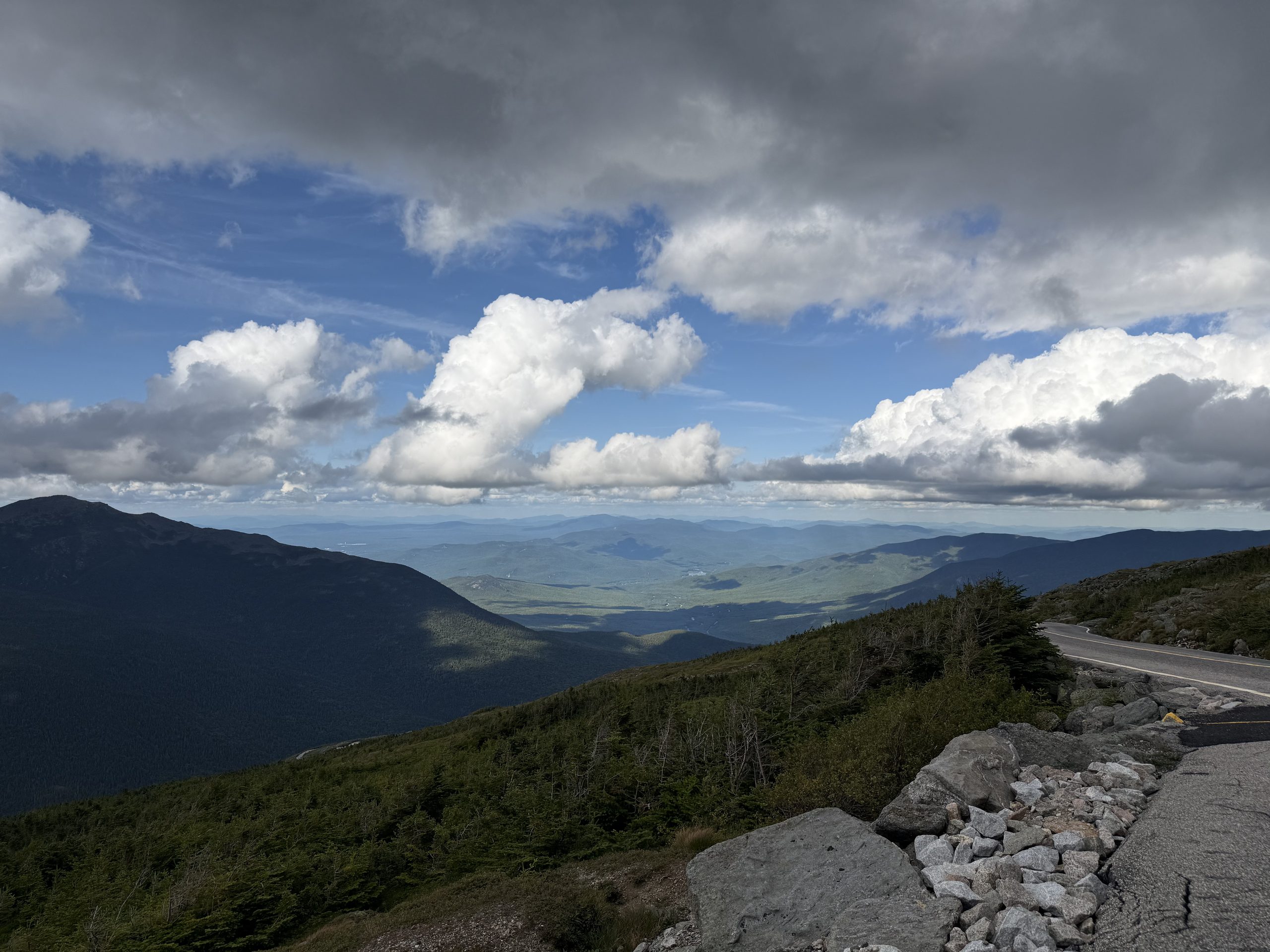
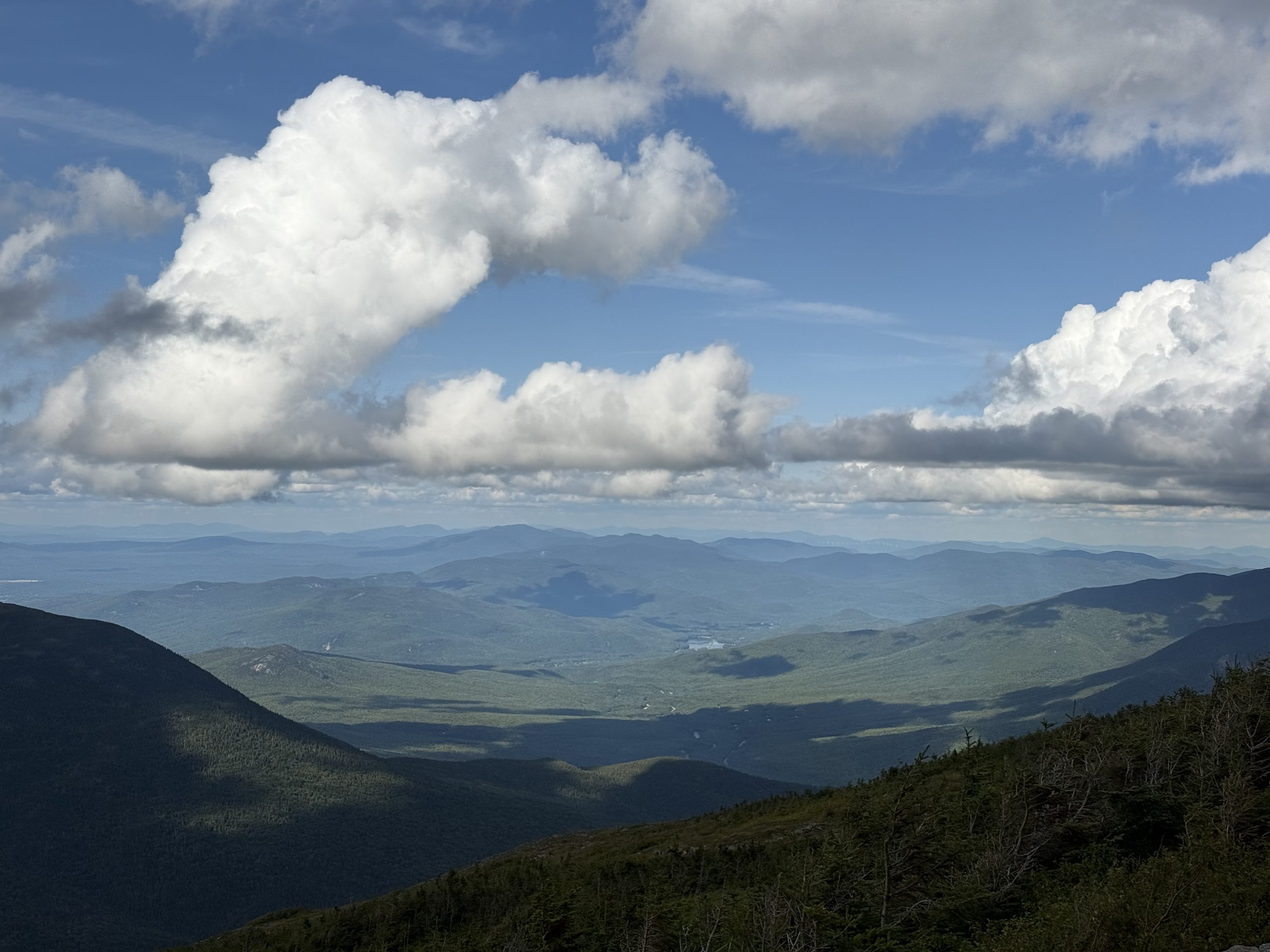
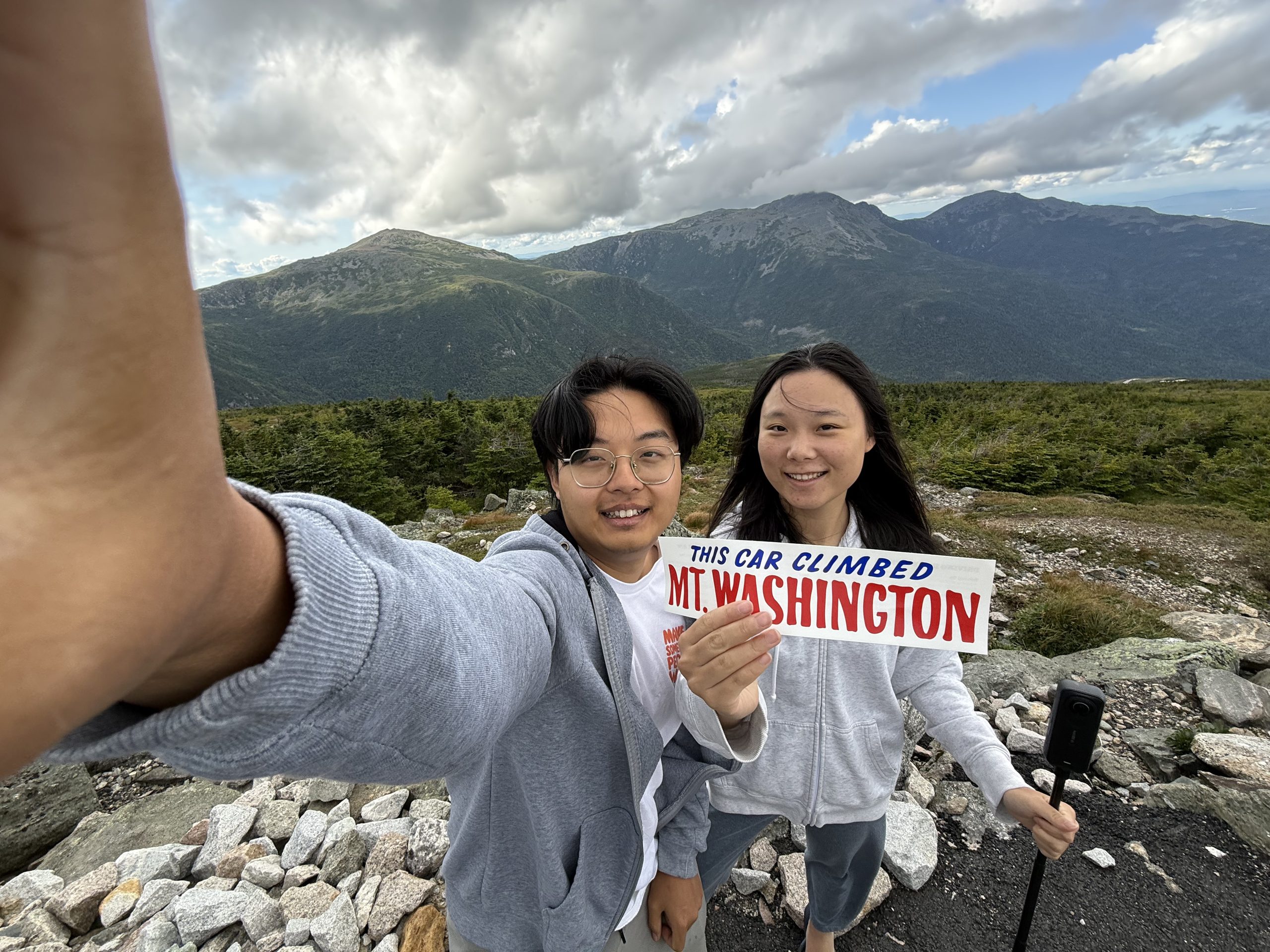
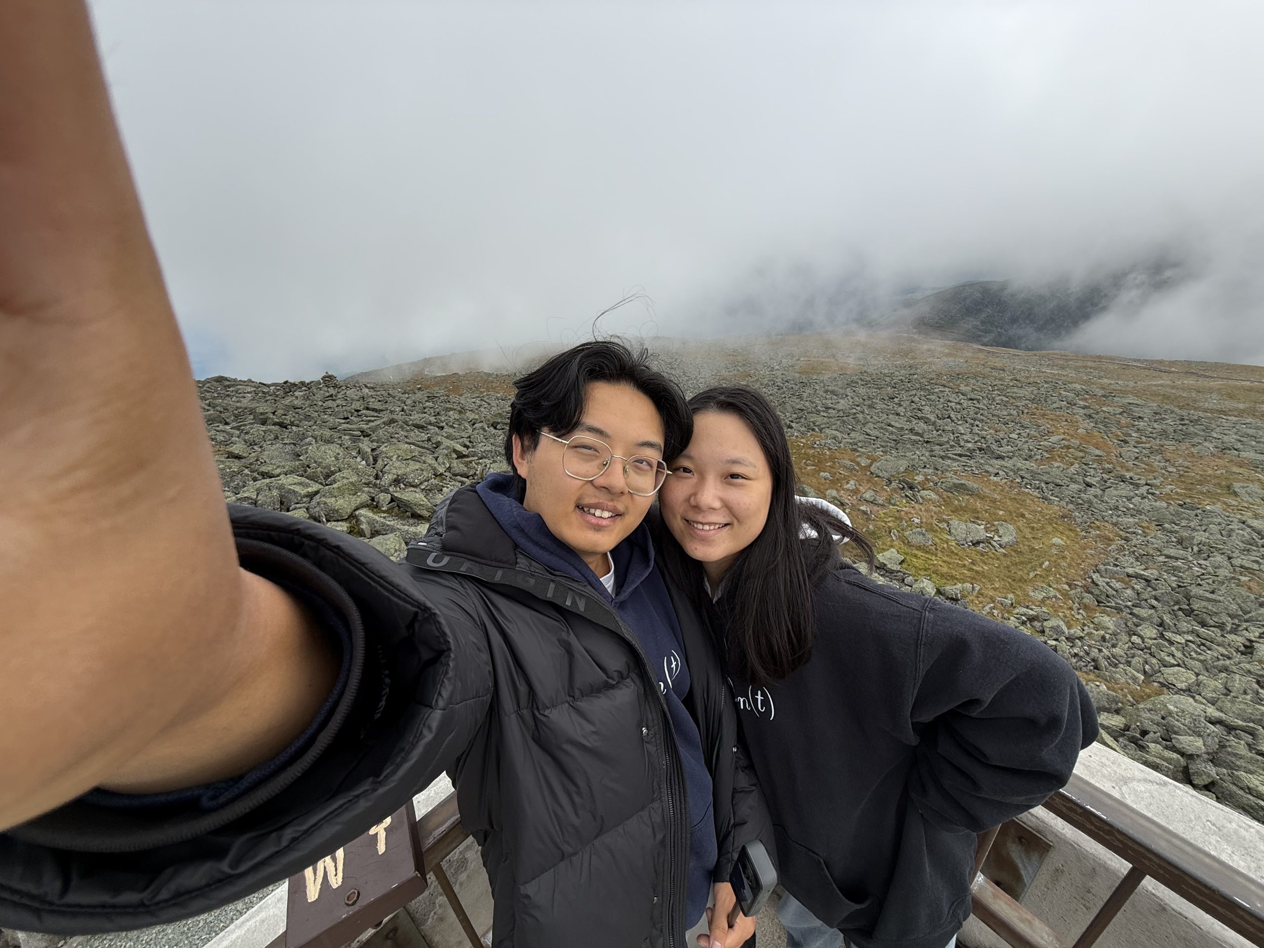
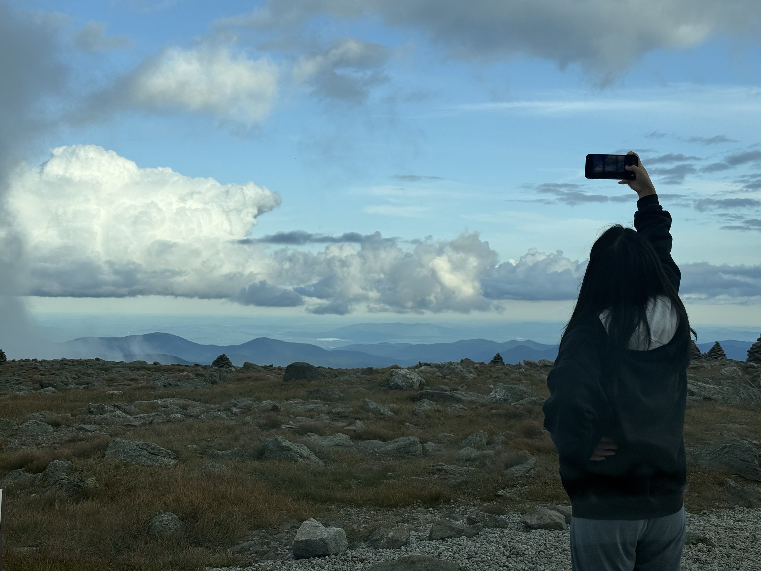
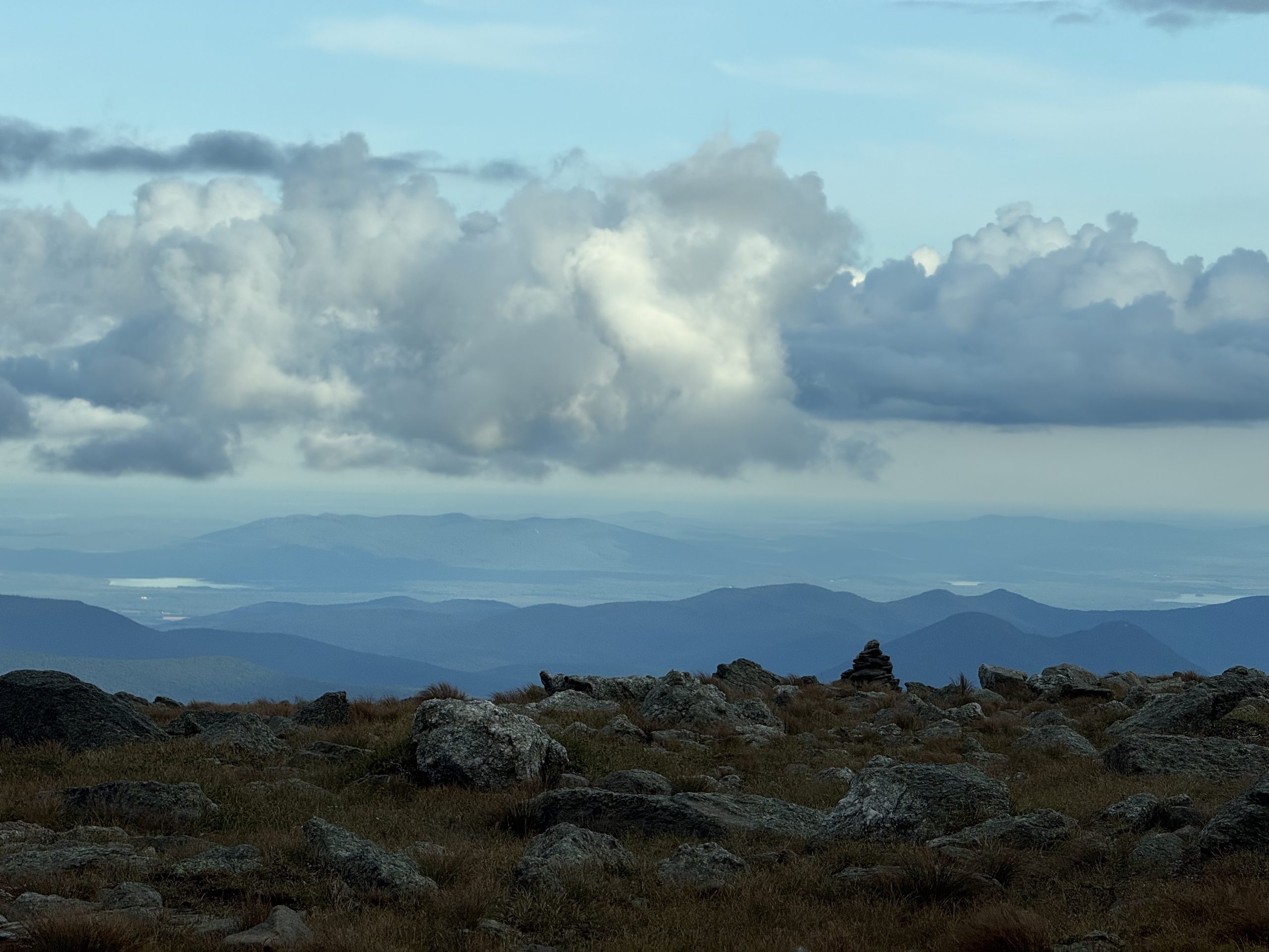
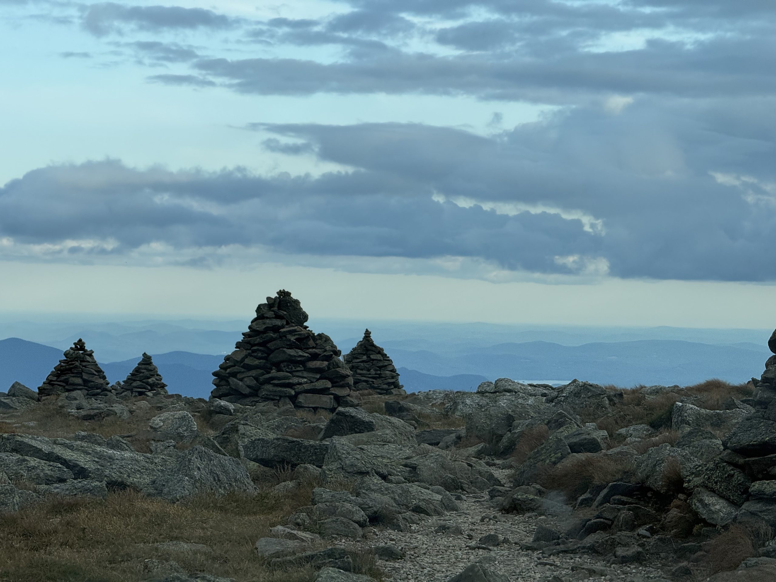
Halfway up the Auto Road: cloud above, view below. The grey lid on the summit hasn't reached down this far.Cumulus dragging dark patches across the forest below, ridge fading behind ridge. The summit lid has not come looking yet🎬 Climbing the Auto Road: the valley dropping away on one side. This road opened in 1861 — eleven years before Yellowstone became a national parkAmerica's most famous bumper sticker, handed out since 1904. The Presidential Range lined up behind us — and when this was taken, the sky was open.Another 300 vertical meters and visibility belongs to the cloud. 6,288 feet, the highest point in the northeast, and what you see is white.Stand still and the cloud does the moving. Mt Washington is famous for its weather: the highest surface wind ever measured by humans (231 mph) was recorded here in 1934.The Cog Railway — opened 1869, the world's first mountain-climbing rack railway, still running coal-fired steam. Watching it materialize out of the white wall beat any view we'd have got.The descent: the car drives out from under the cloud base and the view switches back on.Late August, and the summit feels near freezing. Whiteface was summited in slides; Washington demanded a down jacket — the two mountains' personalities, written in clothing.Drop a few hundred meters and the lid dissolves — lakes and plains surfacing in layers. She's photographing exactly what the summit owed us.A cairn on the alpine tundra — in a whiteout these are the only navigation there is. Those far lakes are toward Maine.Four or five cairns strung along the ridge line. The light is leaving; the markers stay.
🌐 360 live:6,288 ft — cairns, fog, down jackets, in August · drag to look around · tap 🧭 on a phone · all panoramas →
VIII · The ride home
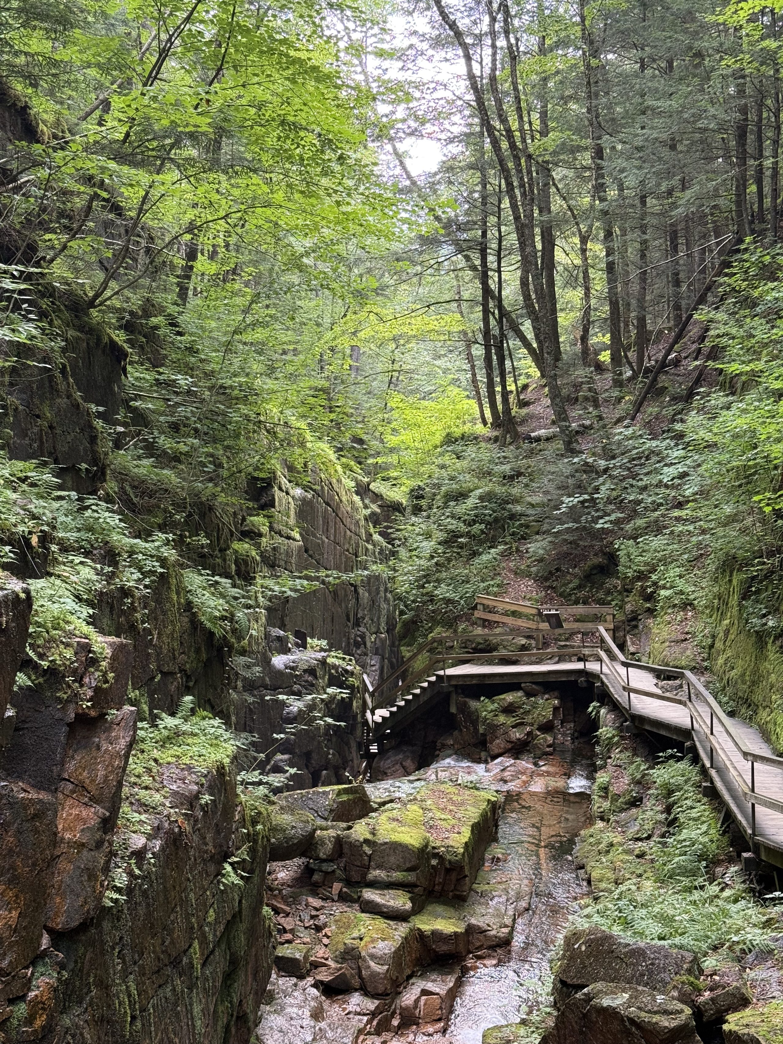
The last day ran the homeward sheet: first the Notch's two glacial works — the Basin pothole and the Flume's 27-meter slot — then I-93 due south, the sunset finishing through the windshield, JC after dark. Two weeks, closed.
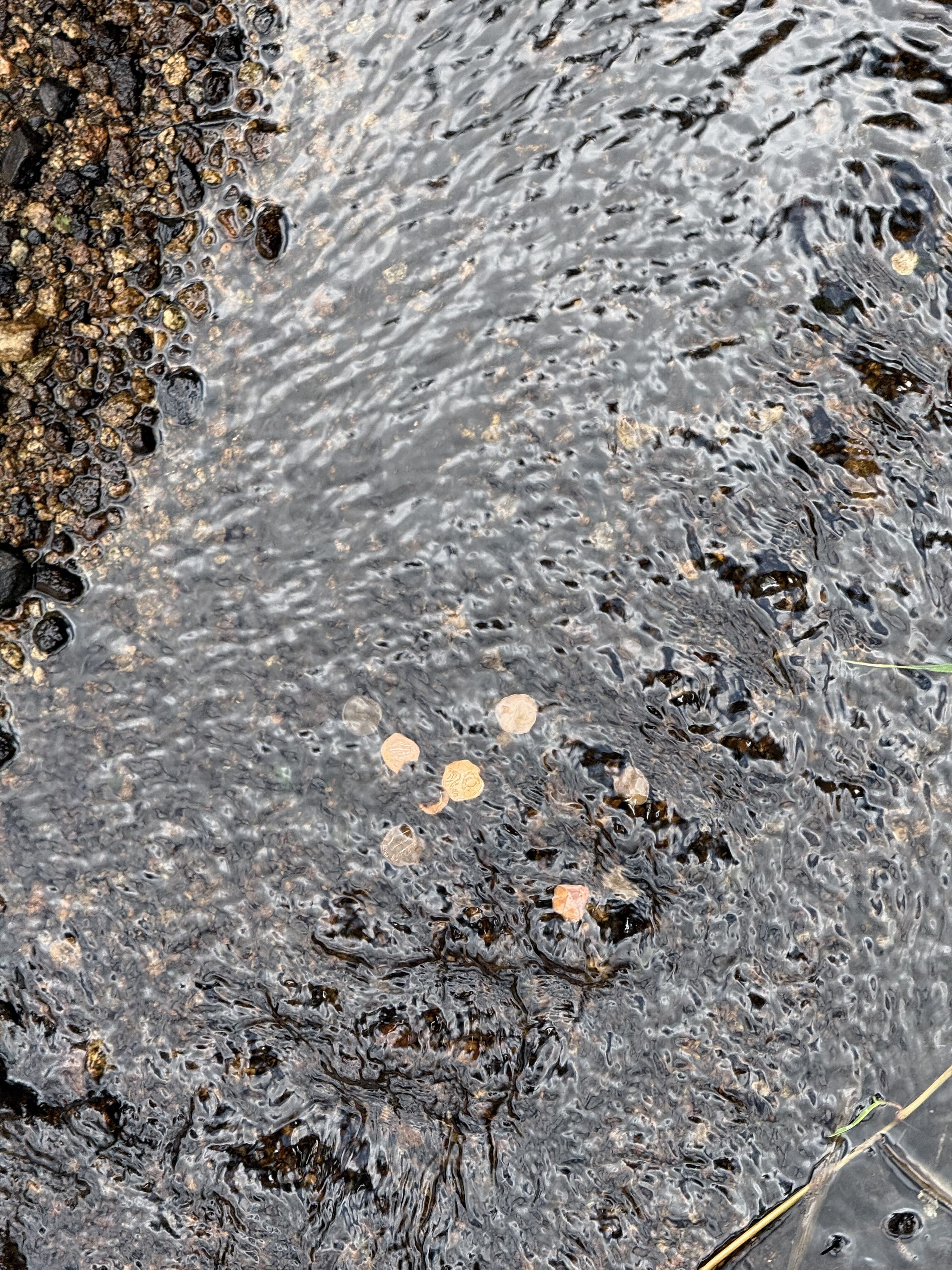
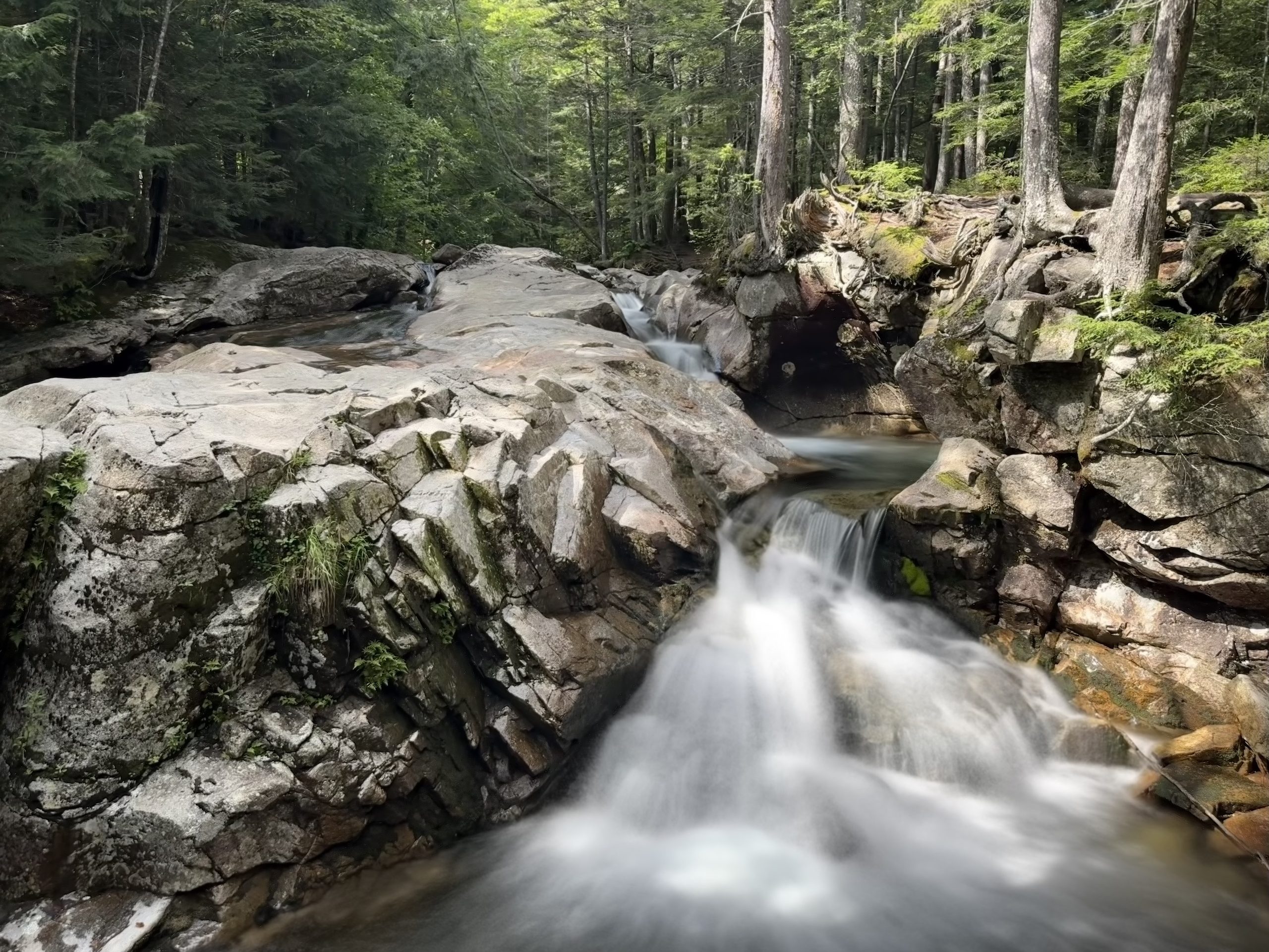
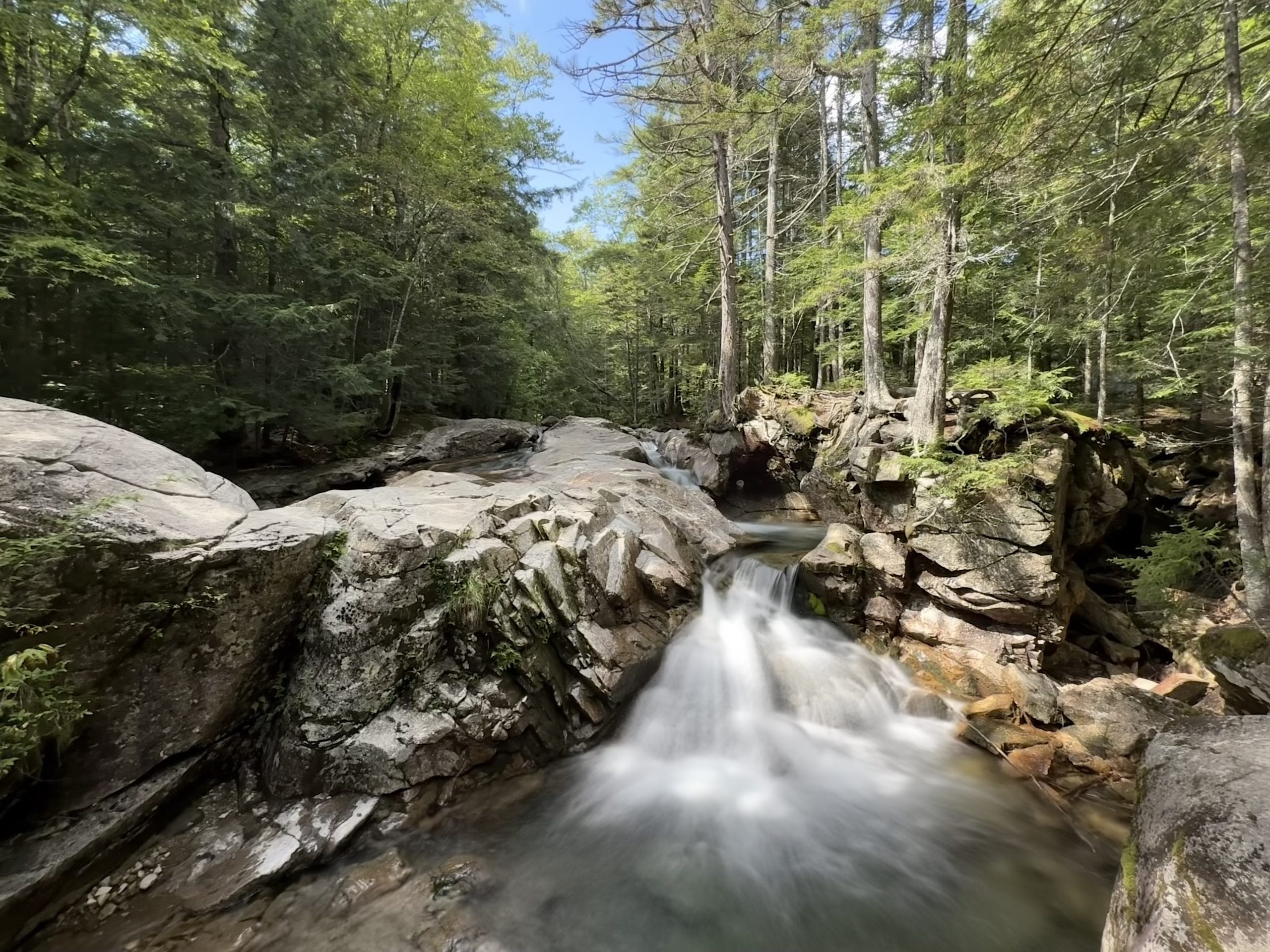
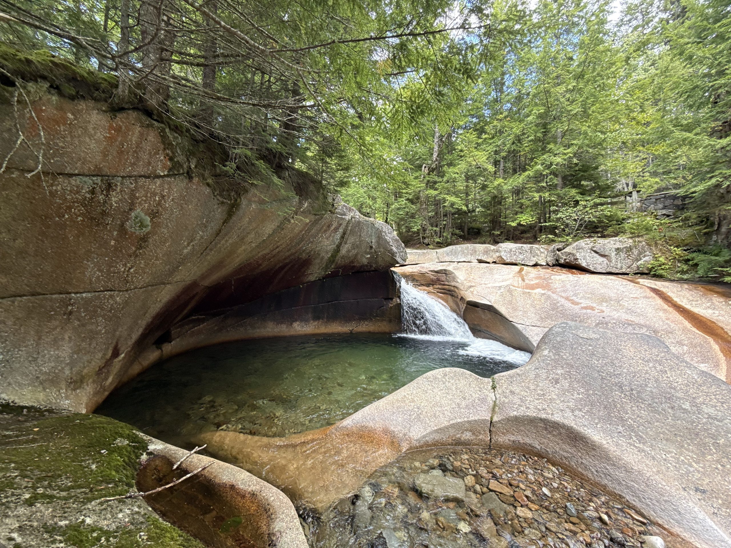
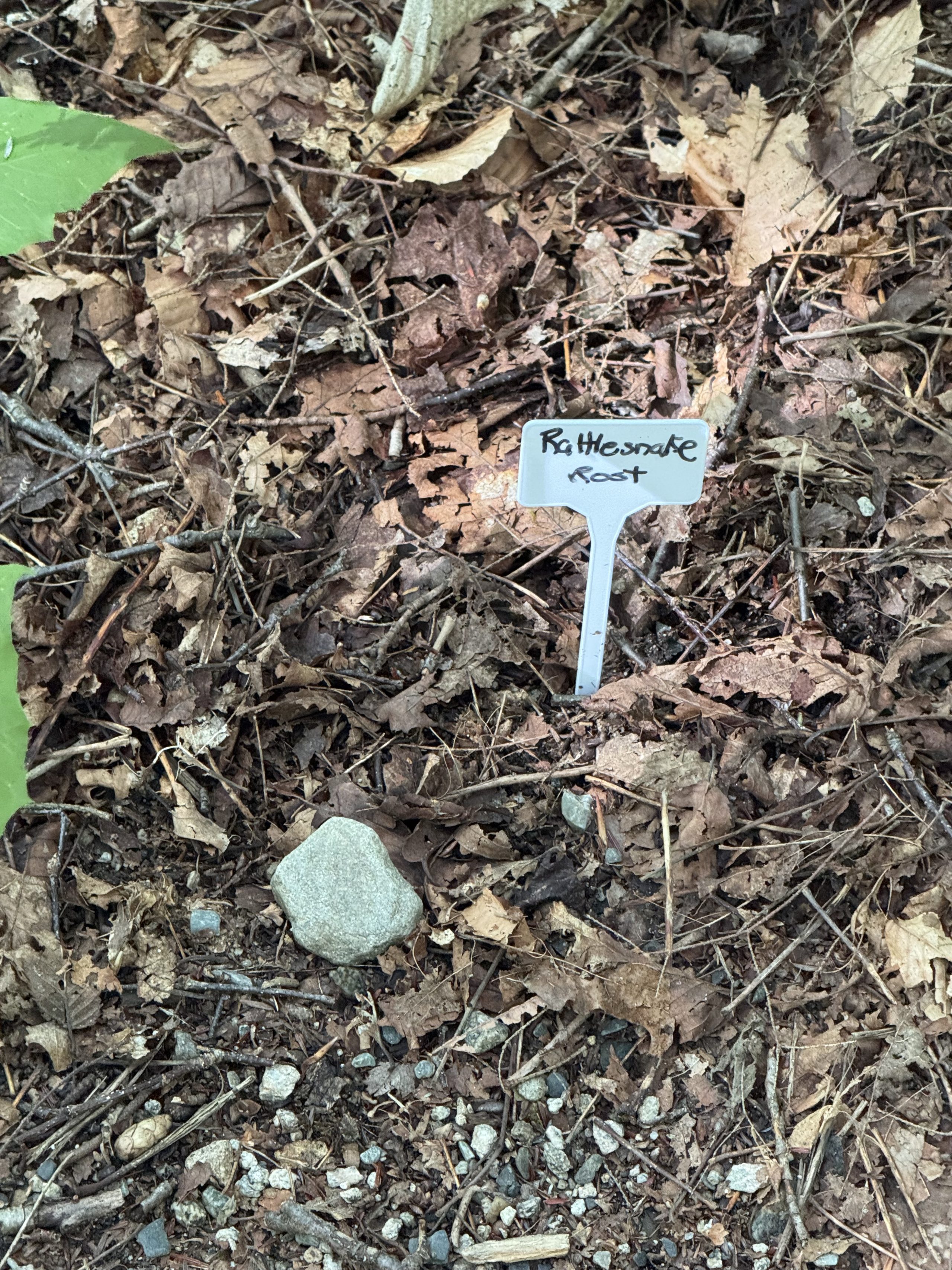
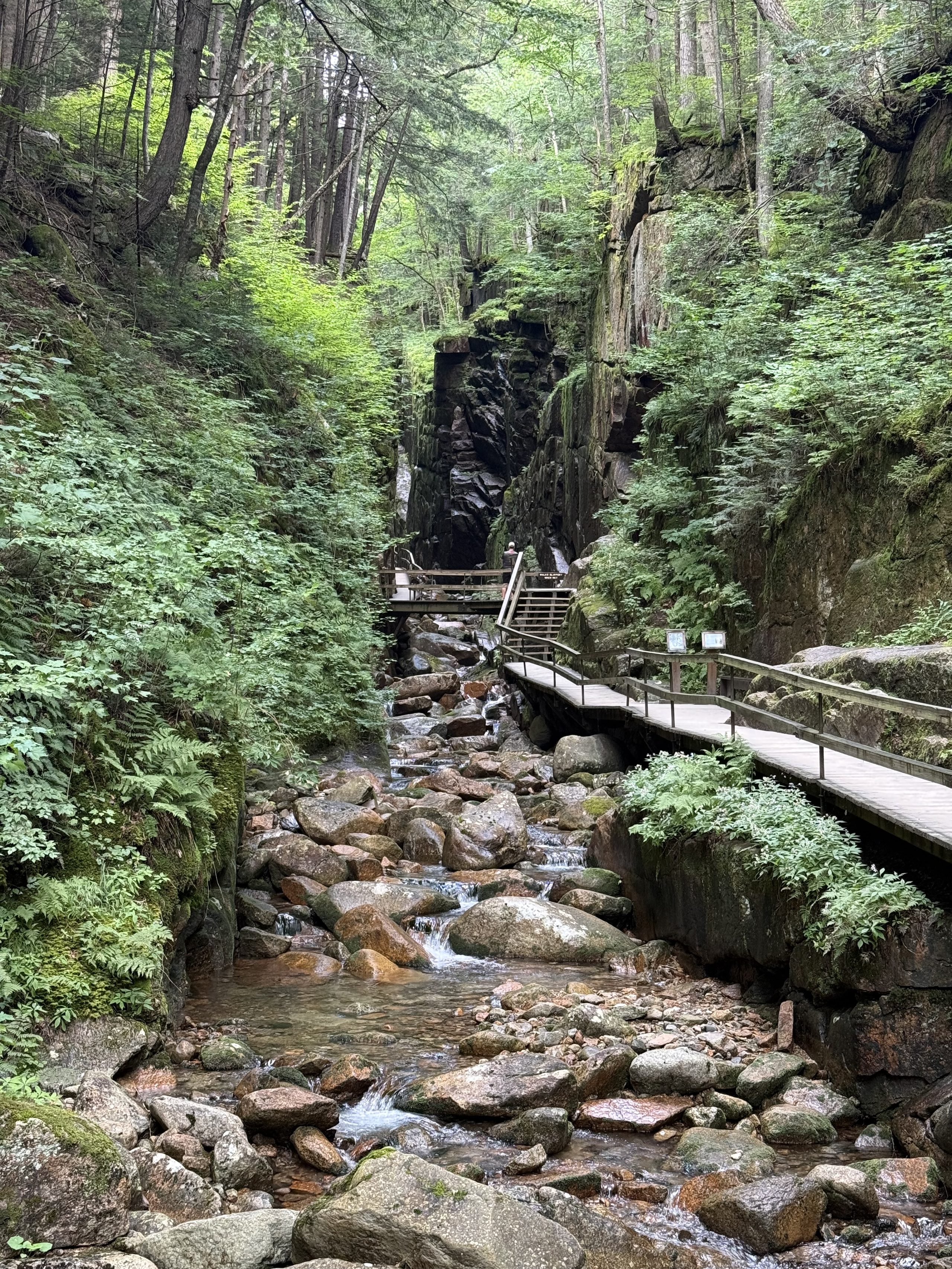
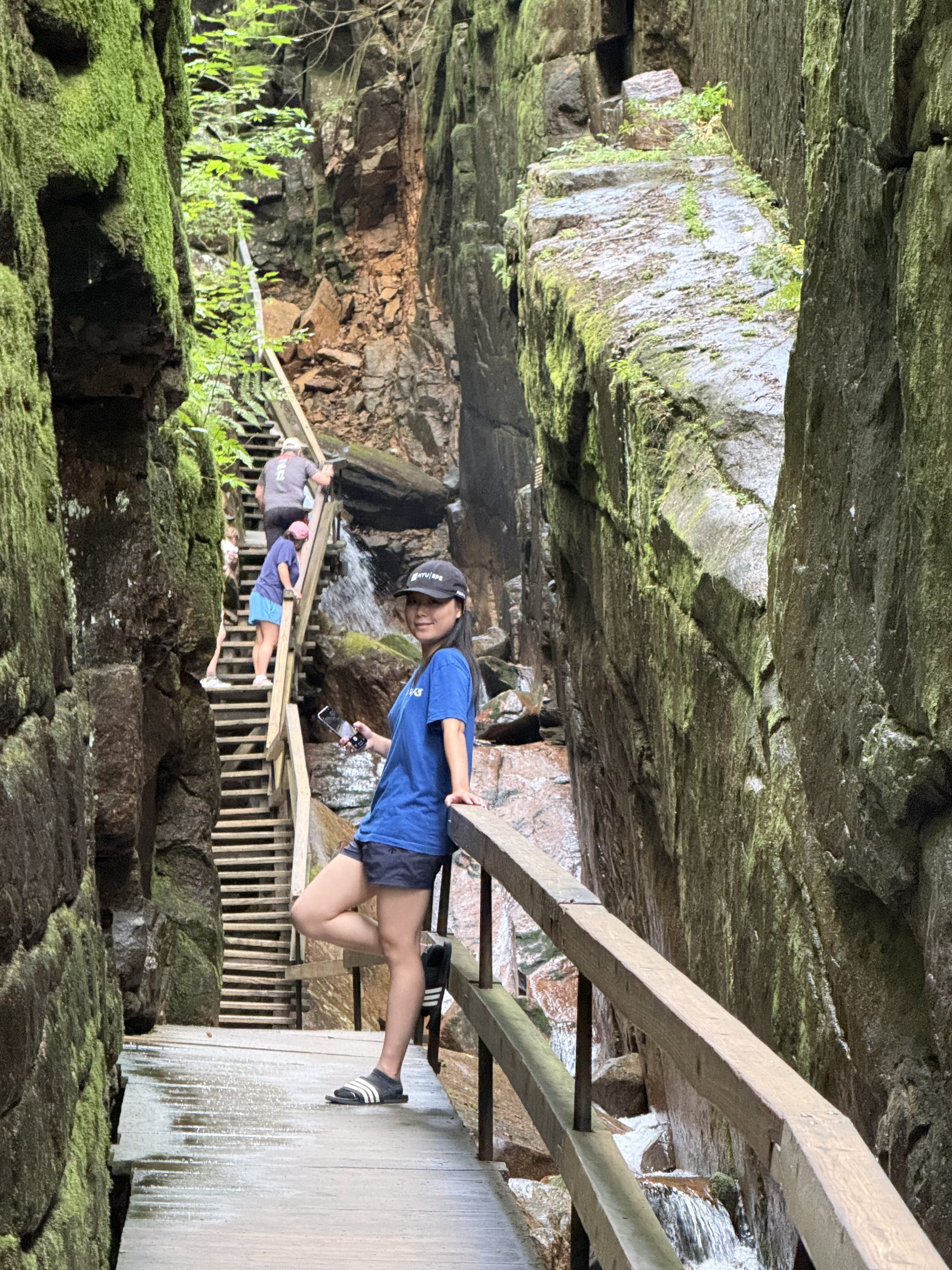
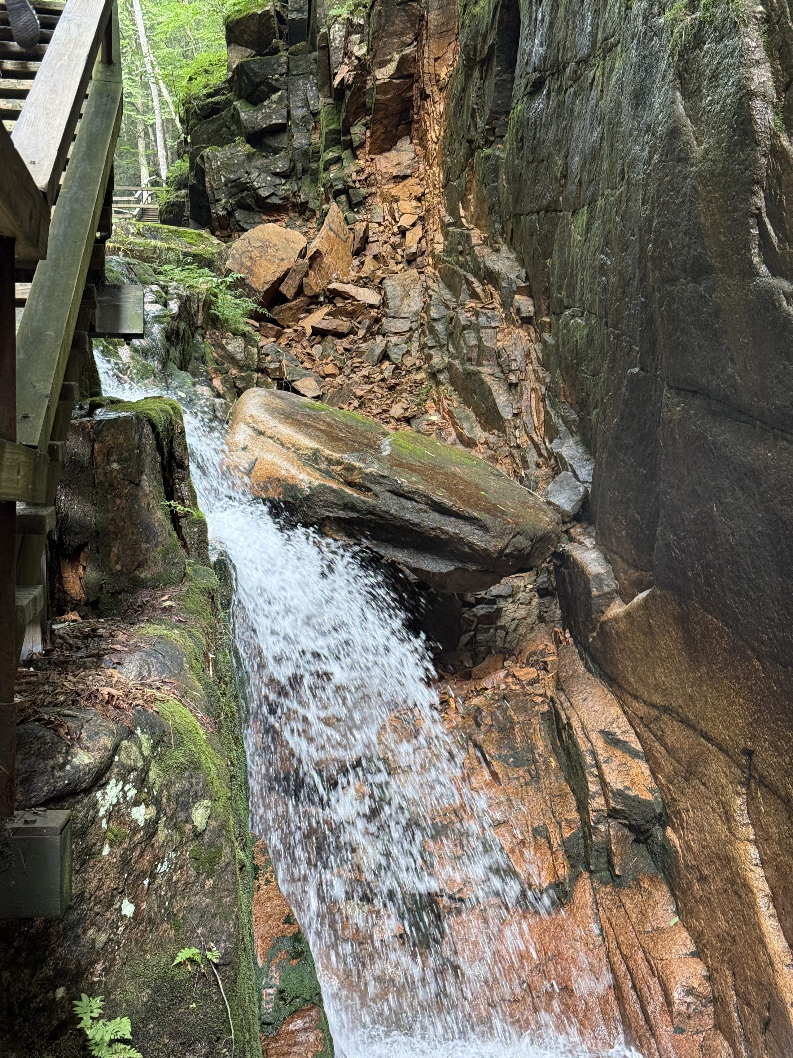
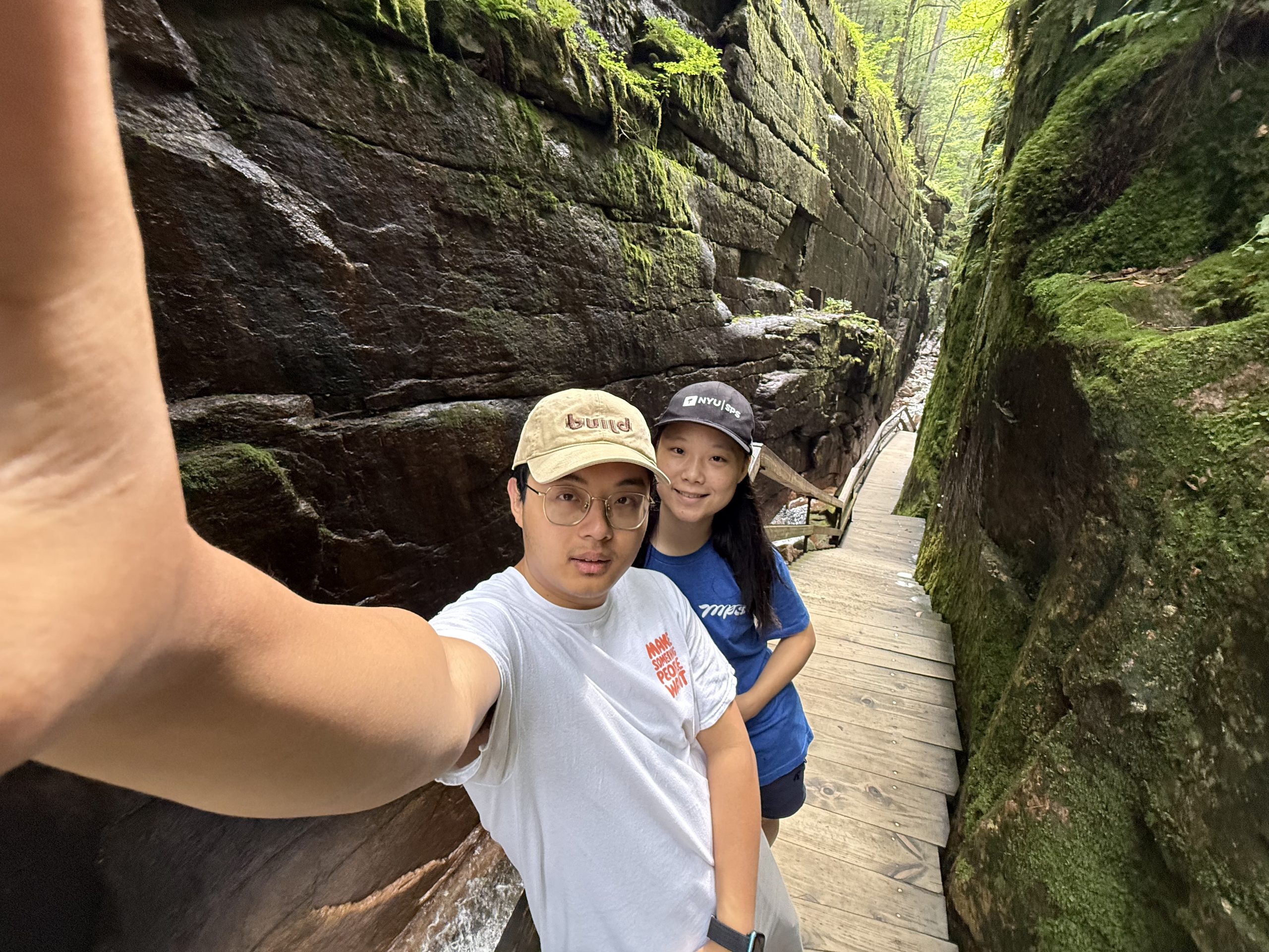
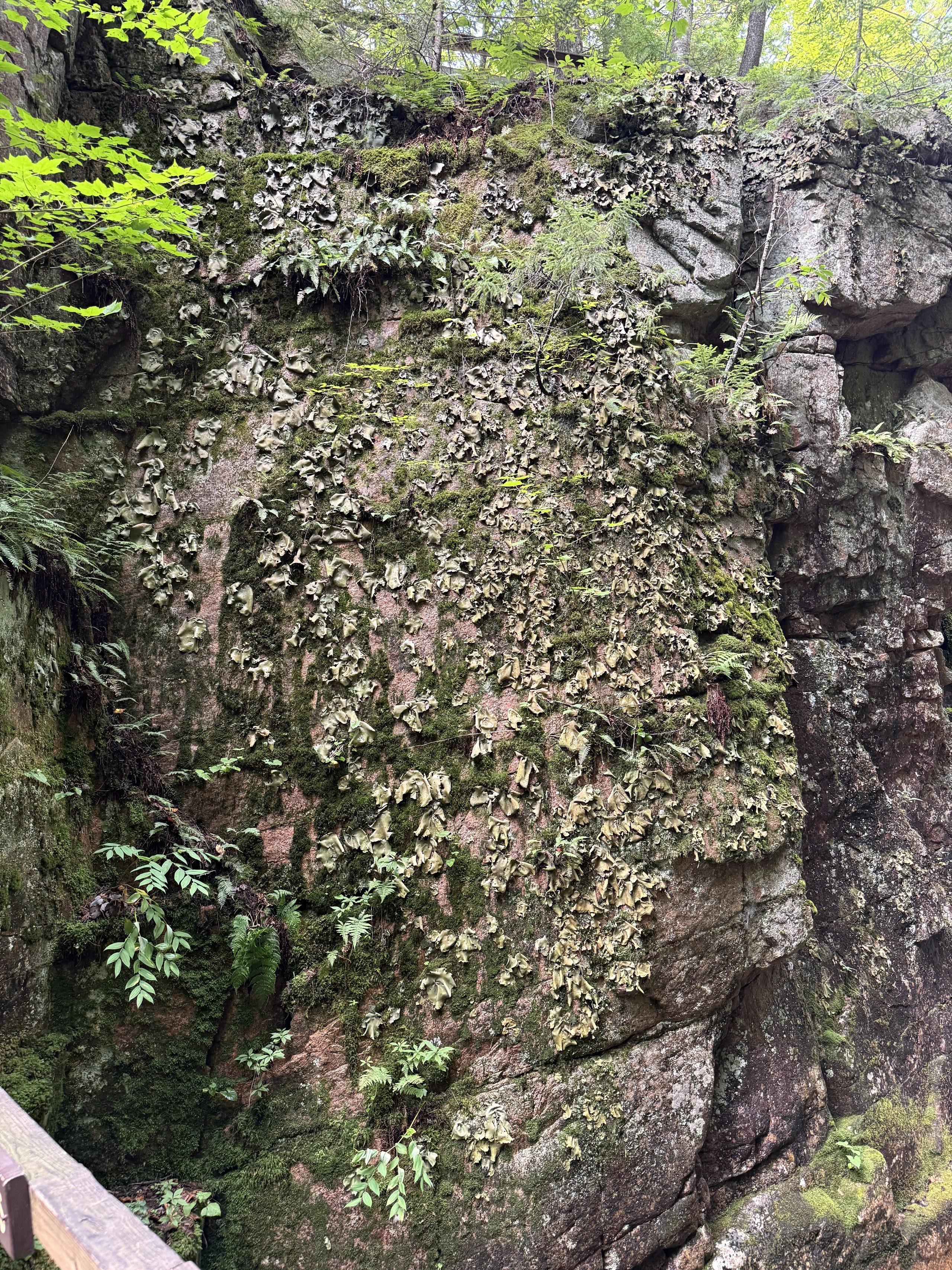
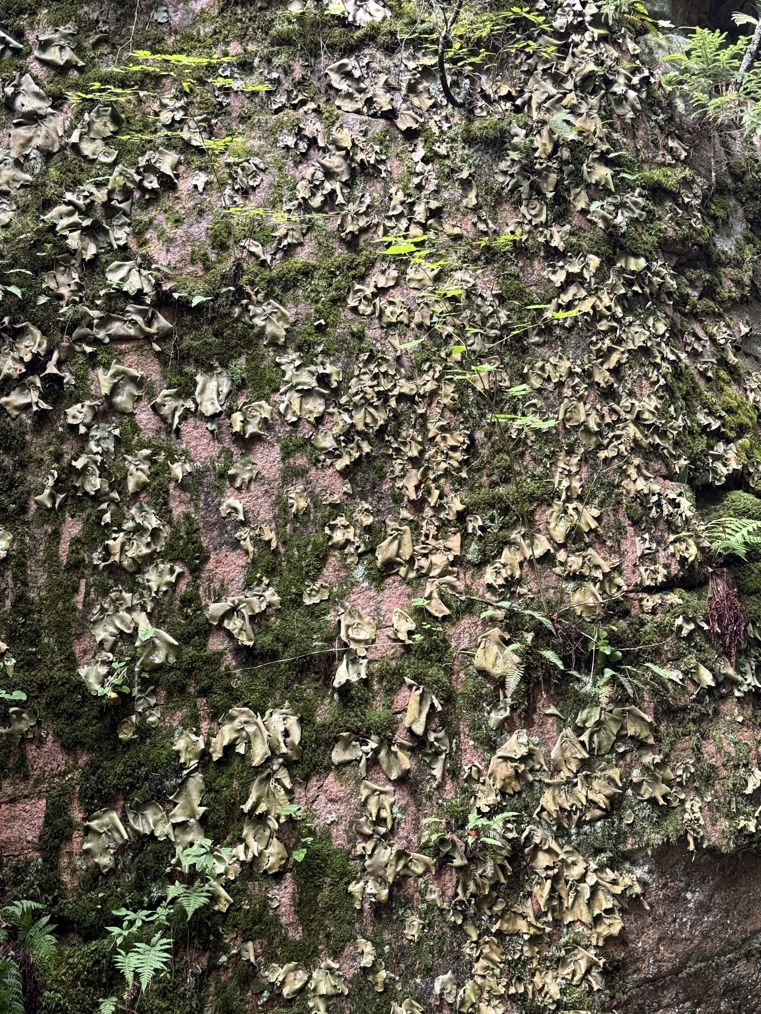
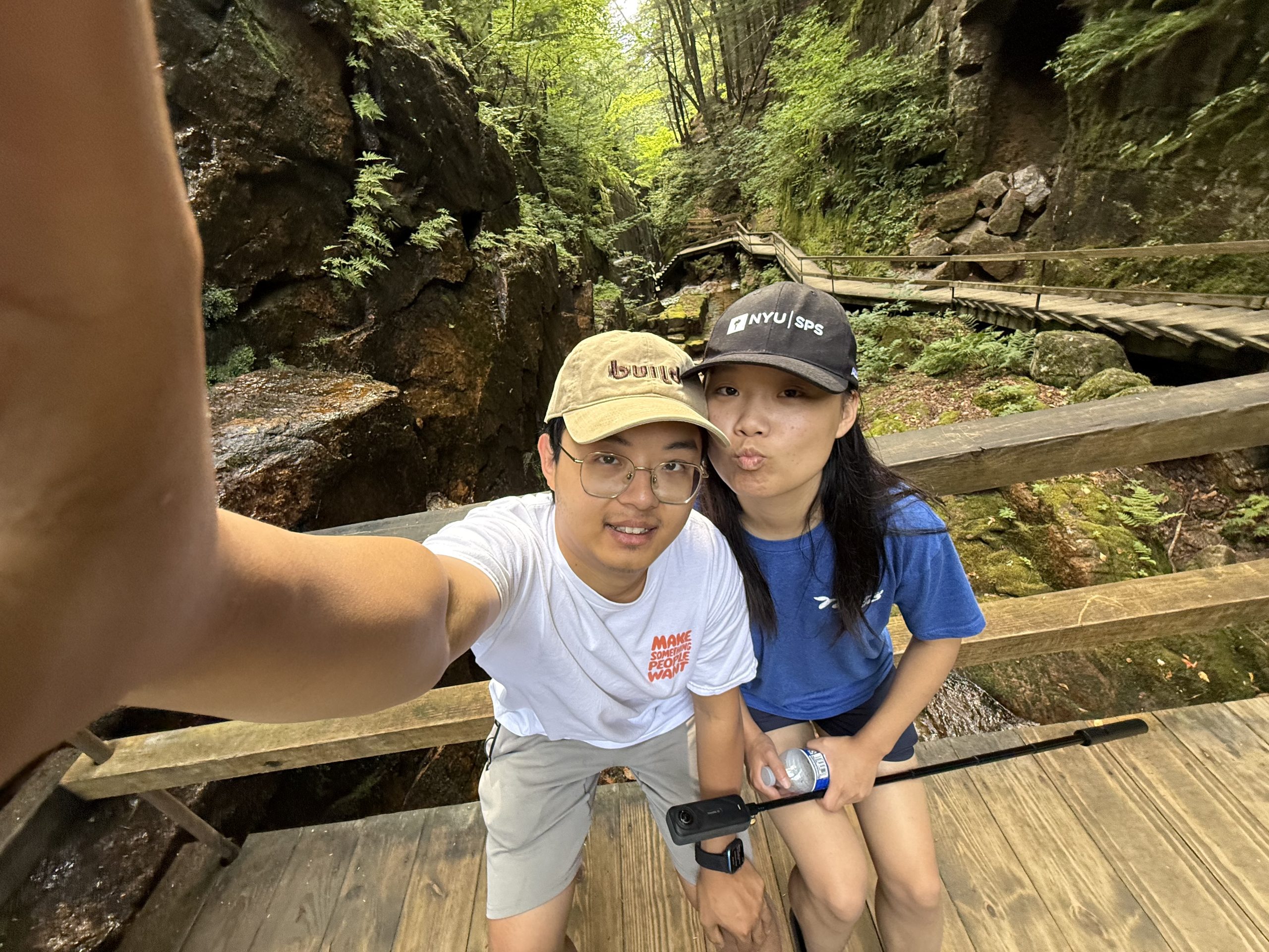
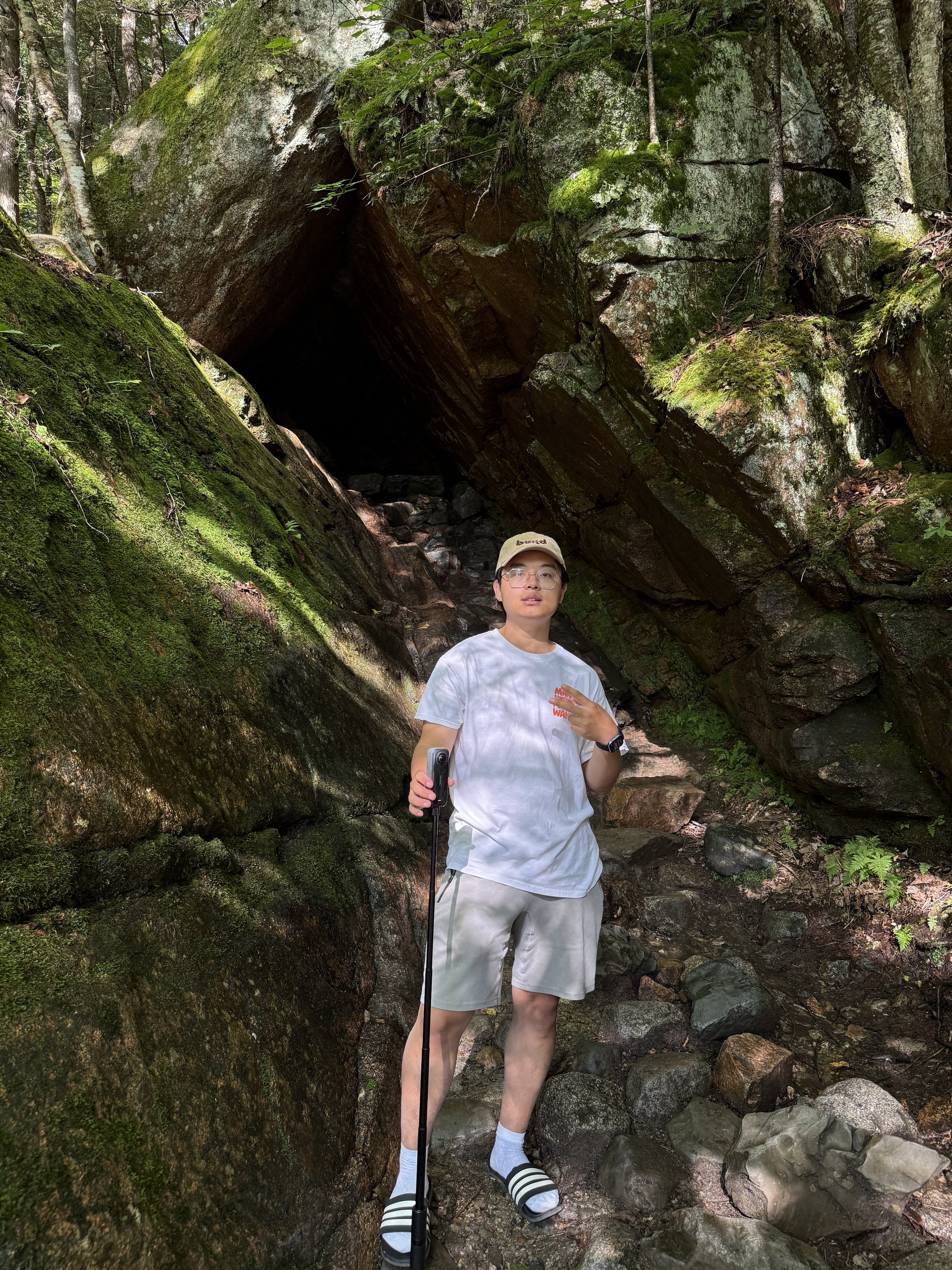
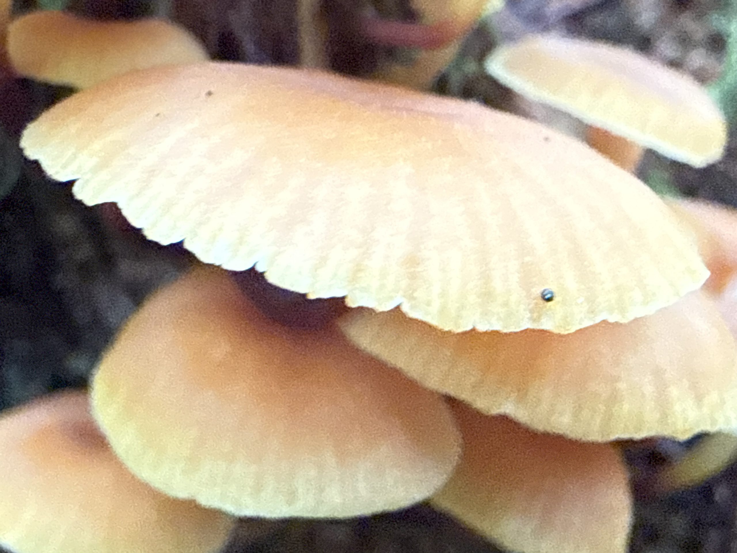
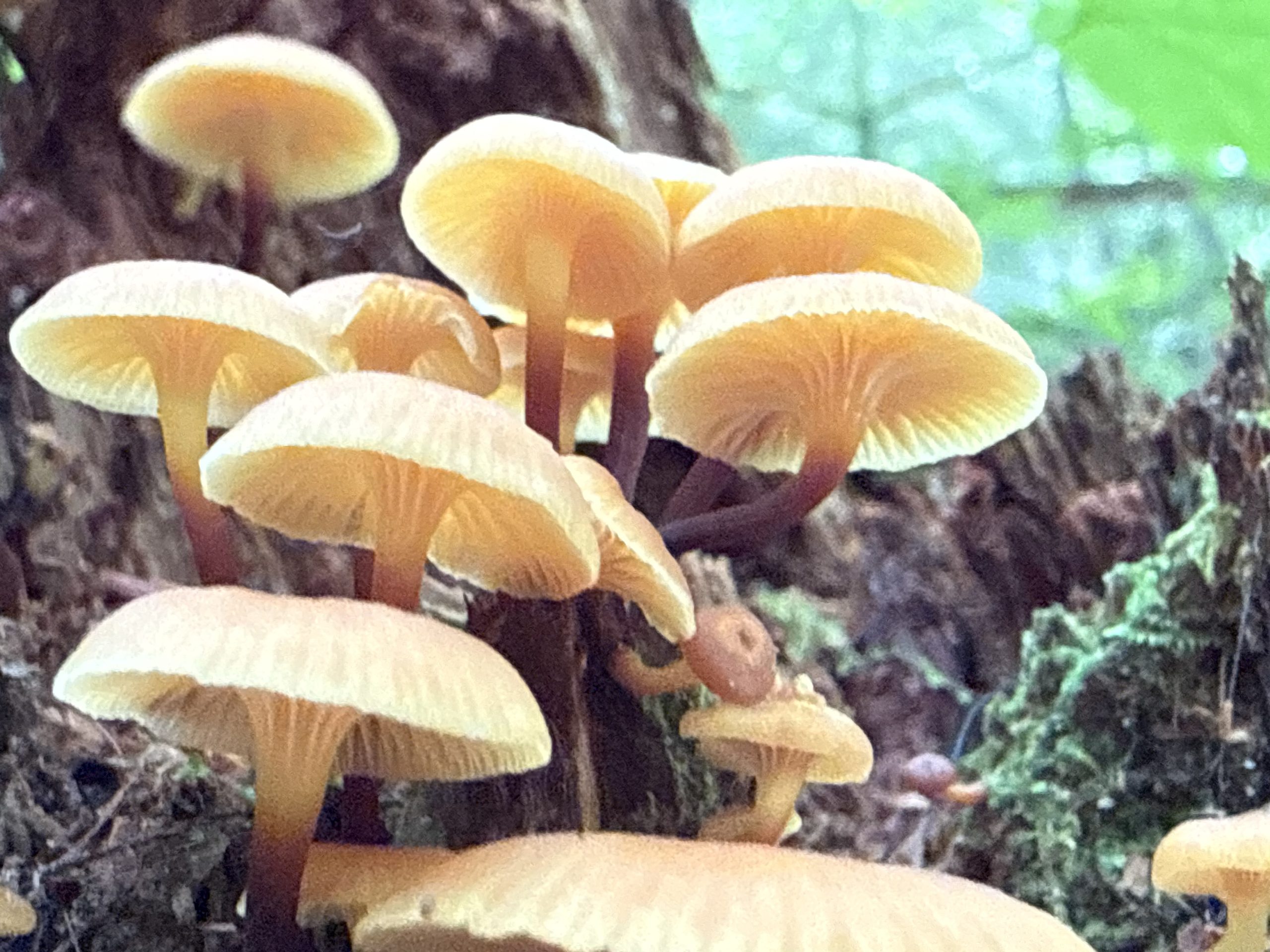
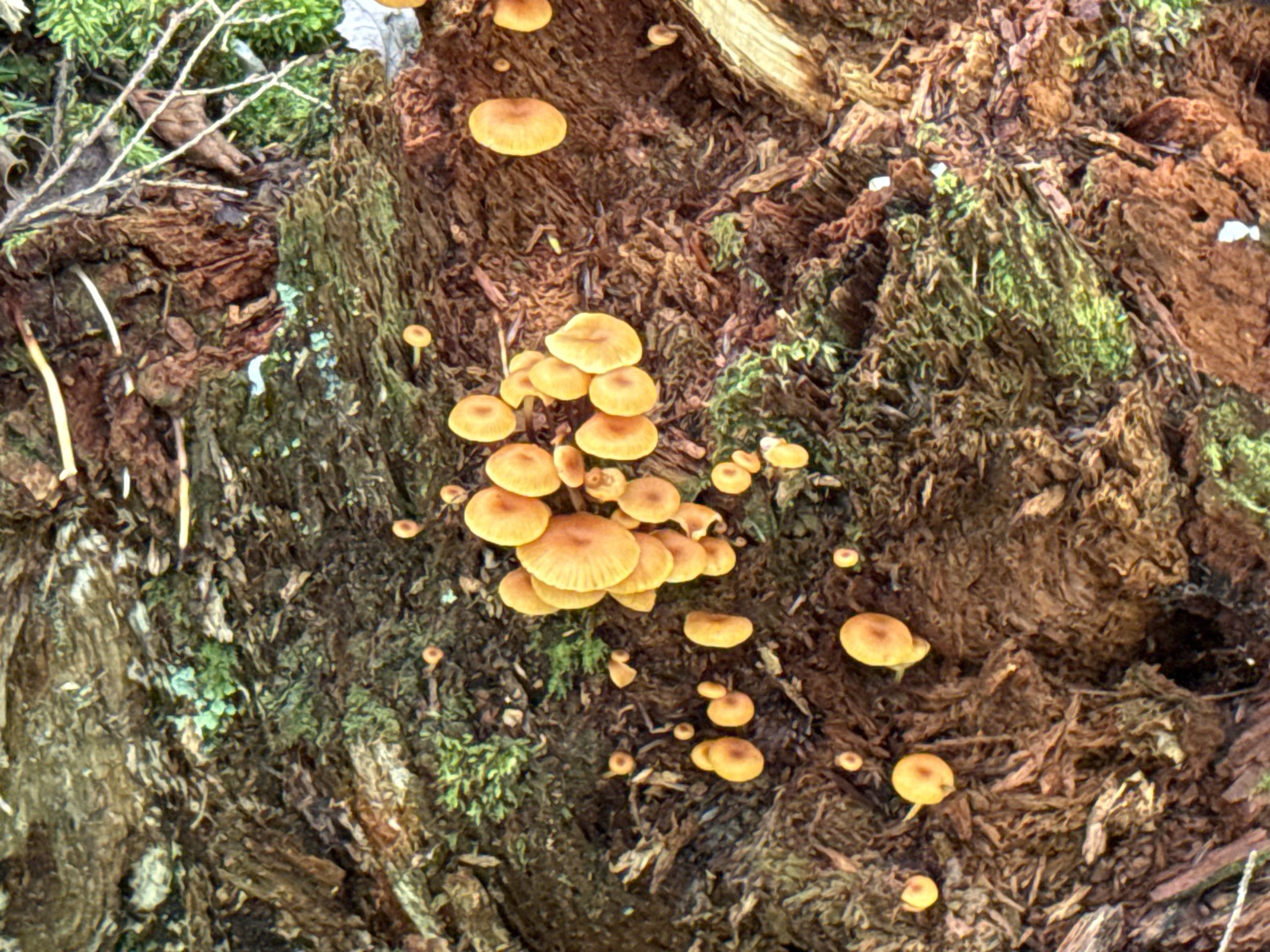
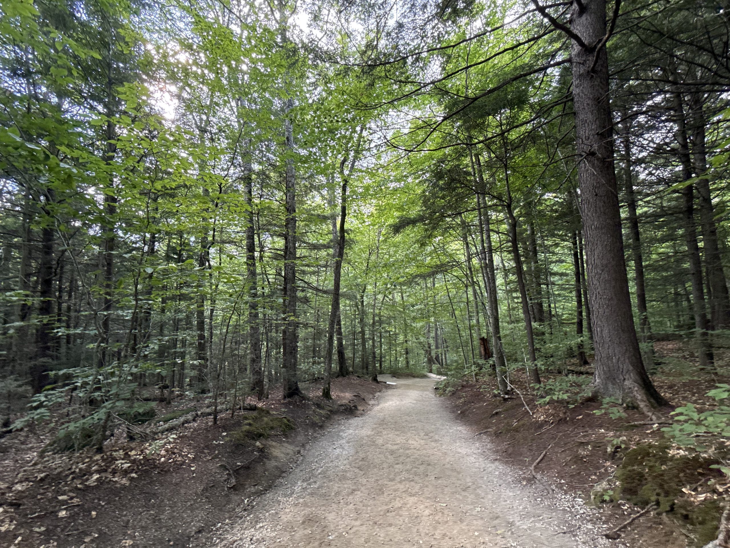
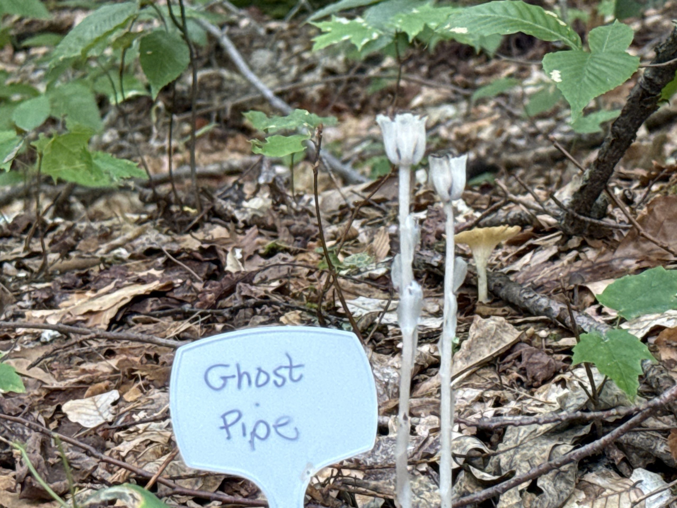
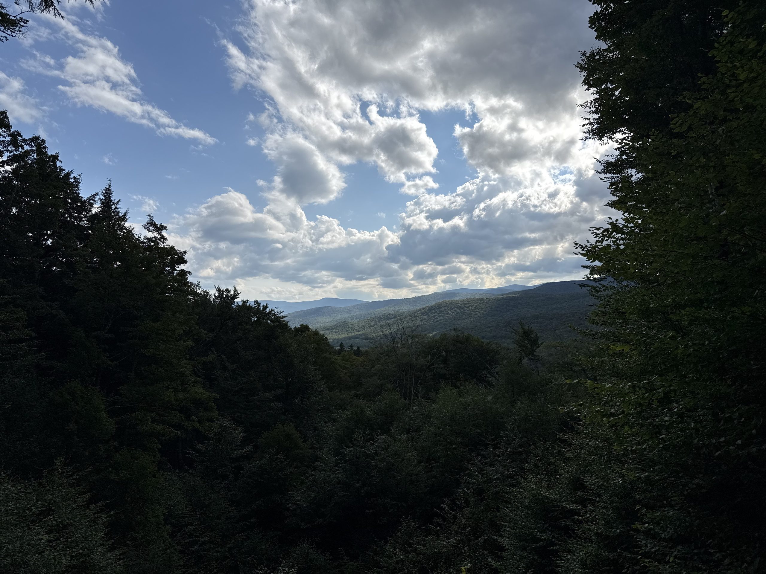
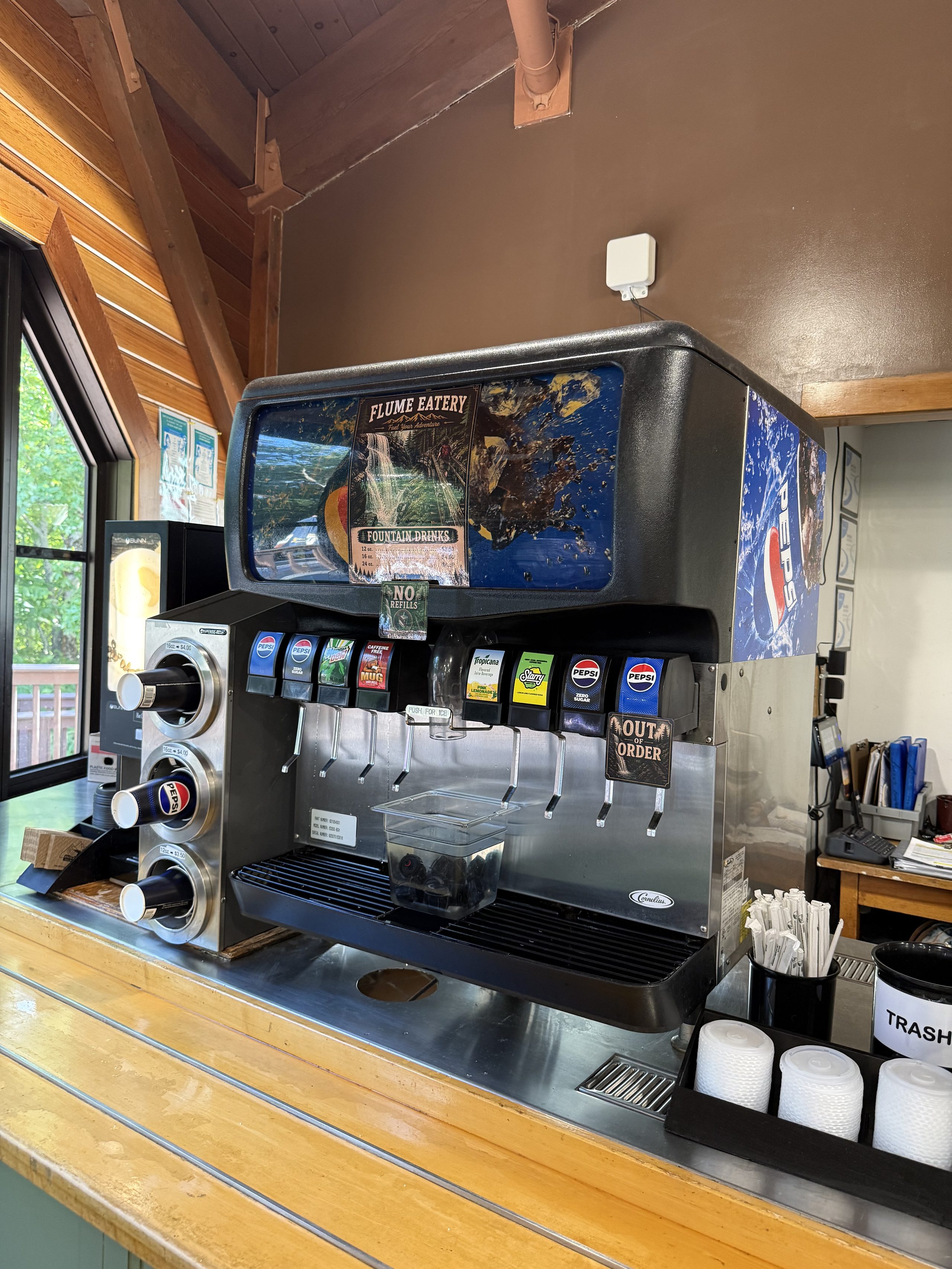
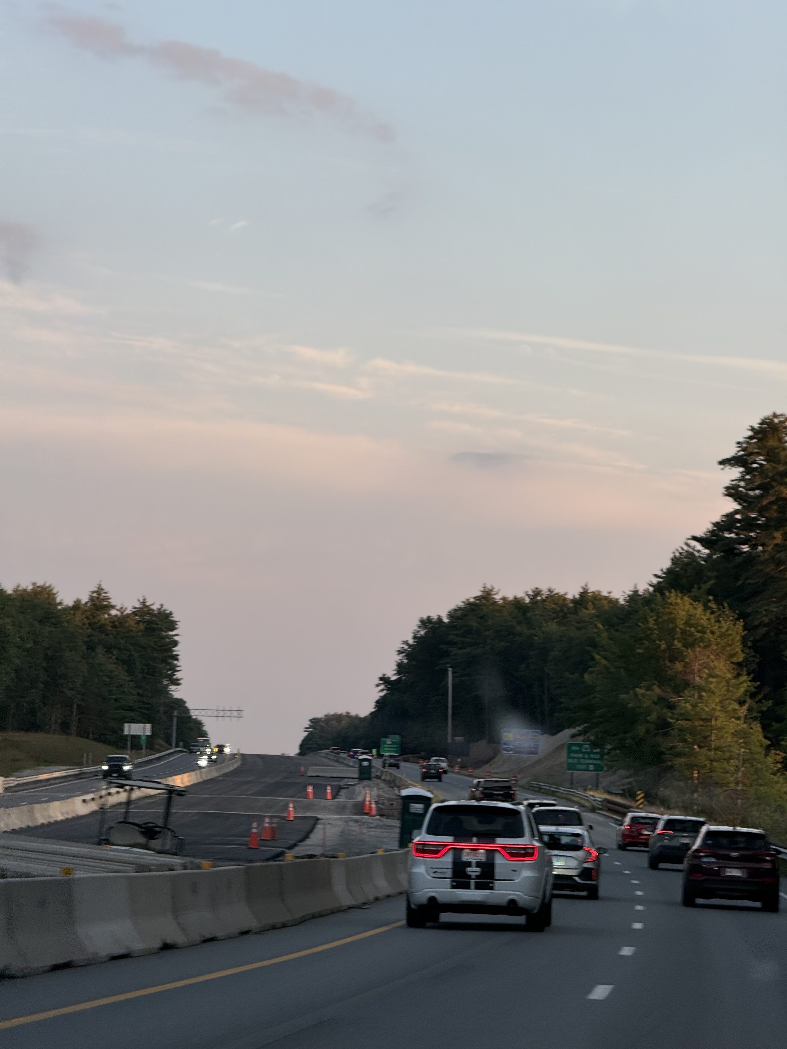
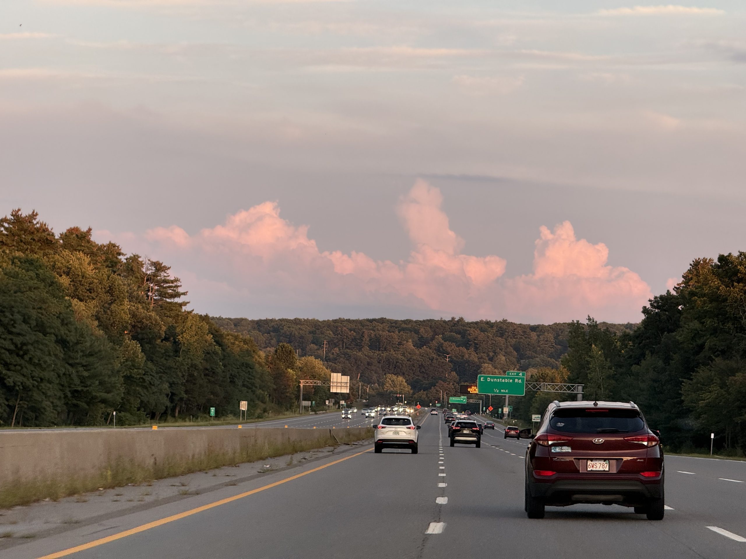
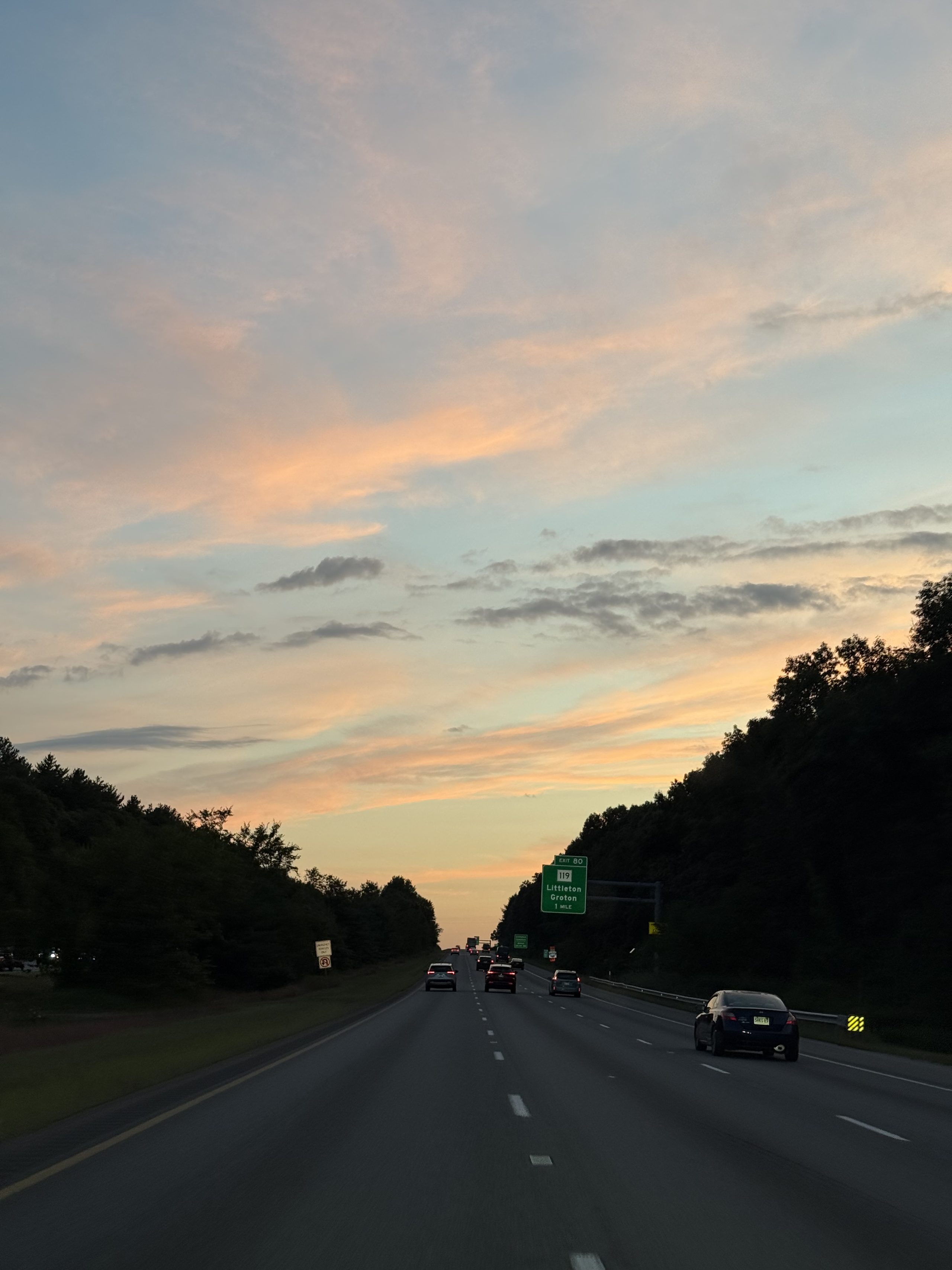
A small scatter of coins under clear running water — each one somebody's wish, being slowly rounded off by the current.A hand-lettered plant marker beside the trail: Rattlesnake Root. On this path even the weeds have been researched.A Franconia Notch stream has worn a chute straight down a single granite slab — water cutting stone, ten thousand years of it.Another reach of the same stream, but this one has blue sky in it. Whatever light the White Mountains owed us, they paid on the last dayA granite pothole nine meters across, drilled by glacial meltwater some 25,000 years ago, with the waterfall still spinning inside it. Both Thoreau and Emerson made the trip to see this.Watch it turn for a minute and the mechanism is obvious: this exact motion, repeated for 25,000 years, scooped a pot out of solid granite.The cliff across the water carried a natural stone face from 1805 until 2003 — the Old Man of the Mountain, New Hampshire's own emblem, which collapsed on its own in May 2003. The state seal and license plates still show a face that no longer exists.The main run of Flume Gorge: boardwalks climbing the 27-meter granite slot, Avalanche Falls waiting at the top. The homeward run sheet's main course, cashed as planned.At the narrows the walls close to four or five meters, moss upholstering the granite. Cassie looks back from the boardwalk — touring the Flume in slides, equipment philosophy intact.The falls at the head of the gorge slide down the wall with the boardwalk brushing past — an 1883 flash flood rearranged every stone here, and the falls are its signature.Looking back from the upper reach: boardwalk hugging the wall, the stream in its granite channel, a string of visitors. Fully worth the ticket.A whole cliff face hung with rock tripe — an edible lichen that Revolutionary-era soldiers genuinely boiled into soup. It looks like the rock grew ears.The quiet upper stretch: the boardwalk bends past a still pool, fewer people, even the water lowers its voice.Selfie at the Wolf Den fork — the 360 stick in frame, which means panorama material from this stretch is still incoming.A boulder crawl you enter on all fours. This caption originally claimed "viewing only" — the 360-video frames later proved we crawled all the way in (see the Wolf Den trio at /360).A cluster of golden caps on trailside deadwood, rims striated like they came off a lathe.The same golden cluster at point-blank range — the cap striations sharp as a draftsman's lines.Shot from below: gills like the ribs of a lampshade, light coming through the caps. The week's mushroom-photography peak.A whole stump colonized by dozens of small caps — deadwood's second career as an apartment block.A slow pan of the Flume loop's wooded stretch: hemlock, birch, one white gravel road.The exit stretch of the Flume loop: the gravel avenue straightening out through hemlocks. The two-kilometer loop took nearly an hour — the mushrooms' fault.A hand-lettered marker: Ghost Pipe. A flowering plant with zero chlorophyll — it skips photosynthesis entirely and taxes the underground fungal network instead. Botanical aristocracy, parasitic division.From the Flume's high ground, looking to the southern gate of Franconia Notch — cumulus, mountain shadow, the whole White Mountains week saying goodbye.A pan from the Flume's high point: cloud shadows sweeping the Franconia range.The Flume Eatery soda fountain: nine valves, one OUT OF ORDER, NO REFILLS. A national-caliber gorge deserves a national-caliber snack bar.19:10 past Nashua: orange cones, jersey barriers, a pink sky. The ride home shifts into interstate mode.Cumulus lit from below by the setting sun, parked exactly above the exit sign — free gallery admission for commuter traffic.Across the line into Massachusetts: the Littleton/Groton exit, sky burning pink to orange. 19:34 — exactly the run sheet's sunset slot, just spent on I-495 instead of Bear Mountain.Dusk construction zone, the wheel turning itself — the ride home mostly delegated to FSD, as usual. It has held ~98% of miles all trip.19:57, the light gone. The lens is blurry and so are we — four hours out from JC, the hotpot kit rattling in the trunk.
🌐 360 live:The boardwalk at the falls — look up to watch the 27-meter walls close · drag to look around · tap 🧭 on a phone · all panoramas →
IX · Epilogue · What the trip wrote
The ledger: 13 days · 4 states (NY·VT·NH·ME) · 155+ photos · 15 videos · 48 panoramas · 2 fogged summits · 1 ferry · 0 moose. The moose is an official, diligently-pursued regret — carried on the books for next time.
But this trip did not just take pictures. It wrote things — each born at a specific moment on the road: